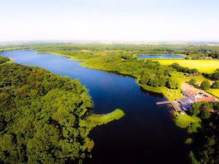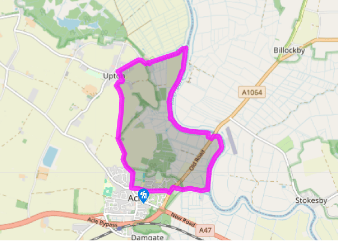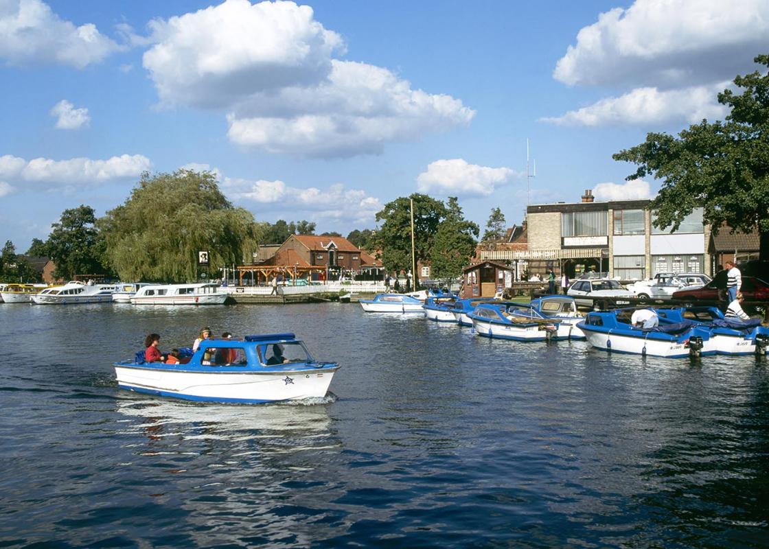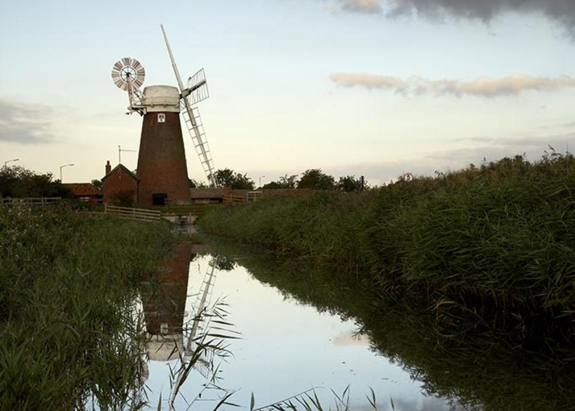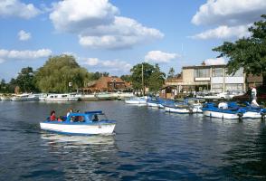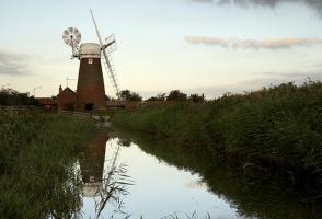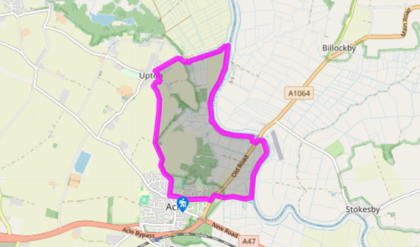
Acle and the Bure Valley
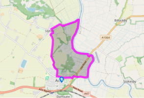
Leave the car park, turn right on to Bridewell Lane, and look for Pyebush Lane on your right. Walk down this, passing the recreation ground on your right, to the cemetery at the end. Turn left where the gravel track soon becomes a narrow path through fields. It is well signposted, but the isolated little church at Fishley is a useful landmark.
When you draw level with the church, continue along the footpath and walk through a vast field, then a smaller one. The path then becomes enclosed by hedges and trees. It jigs right and emerges onto a lane next to a large pink house. Turn right, then go left when you reach The Green.

Been on this walk?
Send us photos or a comment about this route. Or recommend a route of your own.

Walking in Safety
Read our tips to look after yourself and the environment when following this walk.

Get an AA guide
Explore our range of ‘50 Walks in’ guides - they’re the ideal companion for a ramble.
Been on this walk?
Send us photos or a comment about this route. Or recommend a route of your own.
Walking in Safety
Read our tips to look after yourself and the environment when following this walk.
Get an AA guide
Explore our range of ‘50 Walks in’ guides - they’re the ideal companion for a ramble.
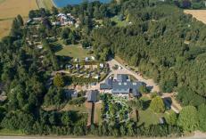
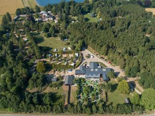
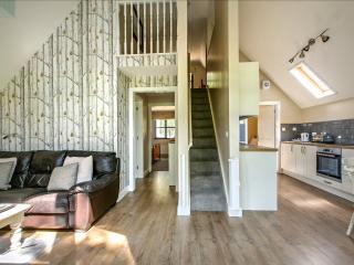
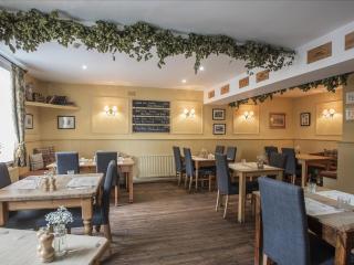
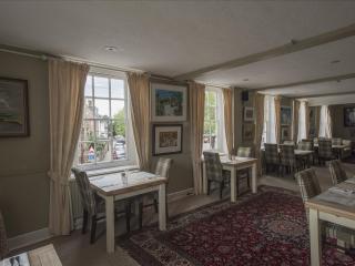
Nearby places to stay
View all (8)