"Catch a bus for this linear stroll along a Roman motorway."
Walk directions
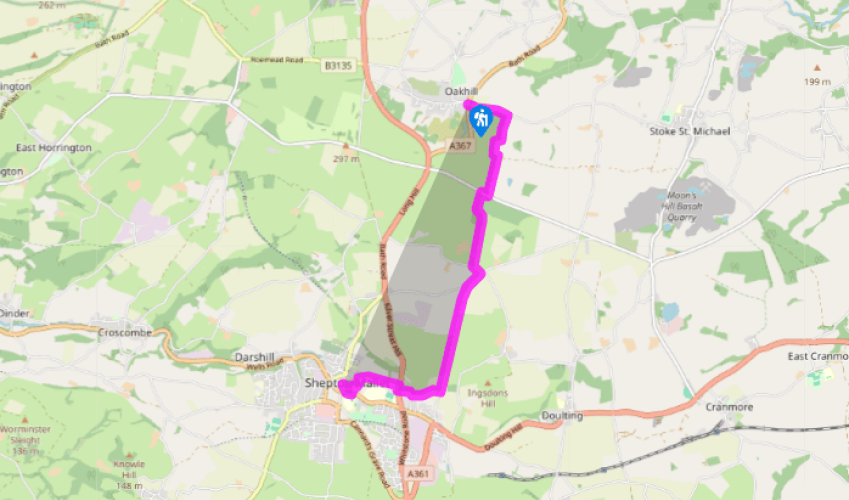
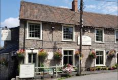
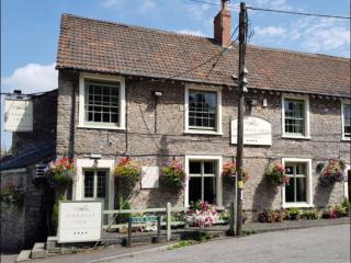
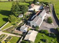
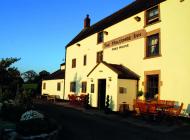
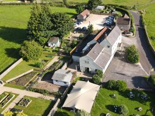
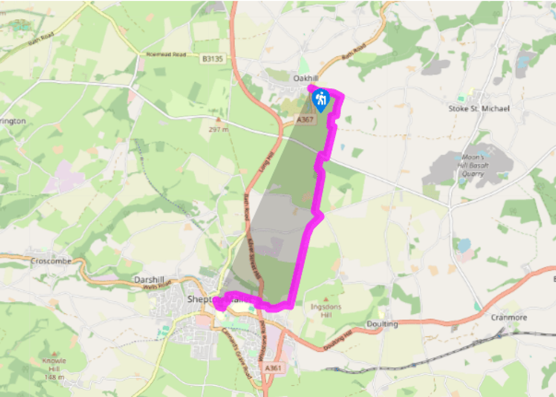
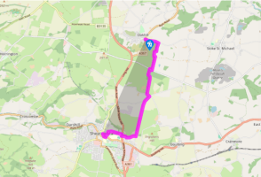
The bus stops at the Oakhill Inn, where you should alight. Start along Fosse Road, passing some 17th-century cottages to Fosse Toll Cottage. Here the track of the Fosse Way sets off on the right.
At the first rise the original path must have become so eroded that the track abandons it out to the right. It rejoins the Roman line 300yds (274m) further on. The track runs up to a minor road at the top of the slope.
The direct route through the wood ahead involves a steep descent. Those wishing to avoid this can turn right, along the road, for 70yds (64m) to where the signposted ‘Fosse Way’ continues on the opposite side. The adventurous can cross directly into the wood, to follow a small path ahead along a buried steel pipe. Drop steeply to the corner of open ground and continue along the wood edge to rejoin the main track. Once out of the wood the wide, tree-lined path continues ahead.
At a lane turn left for 150yds (140m), then back right for 250yds (230m). The Fosse Way track continues on the left, passing a small limestone quarry. The track rises gradually, then descends towards Shepton Mallet. As the descent steepens, bare rock shows in the bed of the trackway. At a fenced gas-board hut, ignore the path off to the right, but after another 220yds (200m) take a stile on the right, with a viaduct ahead.
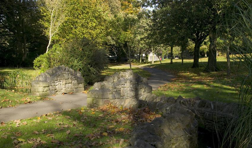
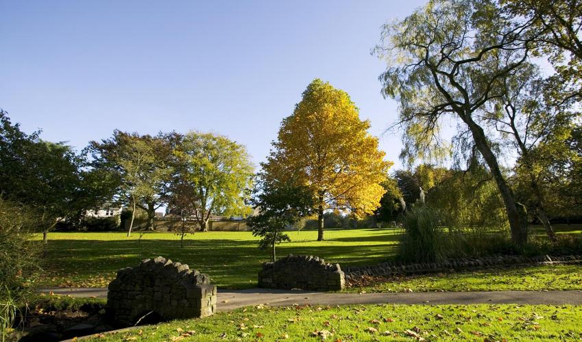
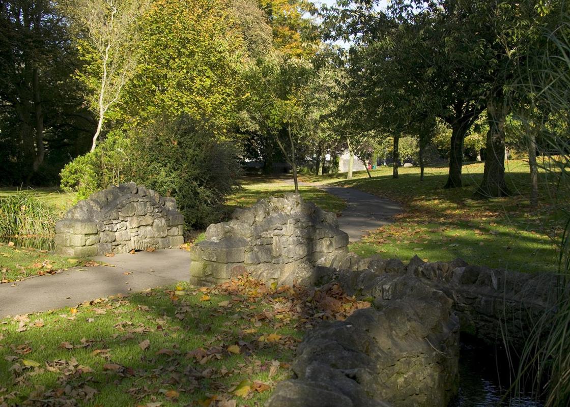
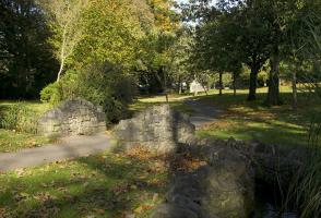
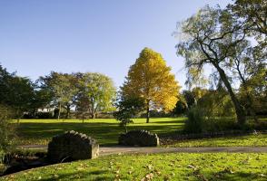
Cross a field towards the viaduct, passing to the right of a hollow ash tree, then bearing left towards the right-hand of two stiles. A path leads on under the viaduct and across the end of a street into a walled path, with a glimpse into the Kilvert Court Gardens on the right. Emerge through a small car park. Turn right past a Georgian brewery and 20th-century cider works; go under an overhead pipe and turn left at the ‘Babycham’ plastic chamois.
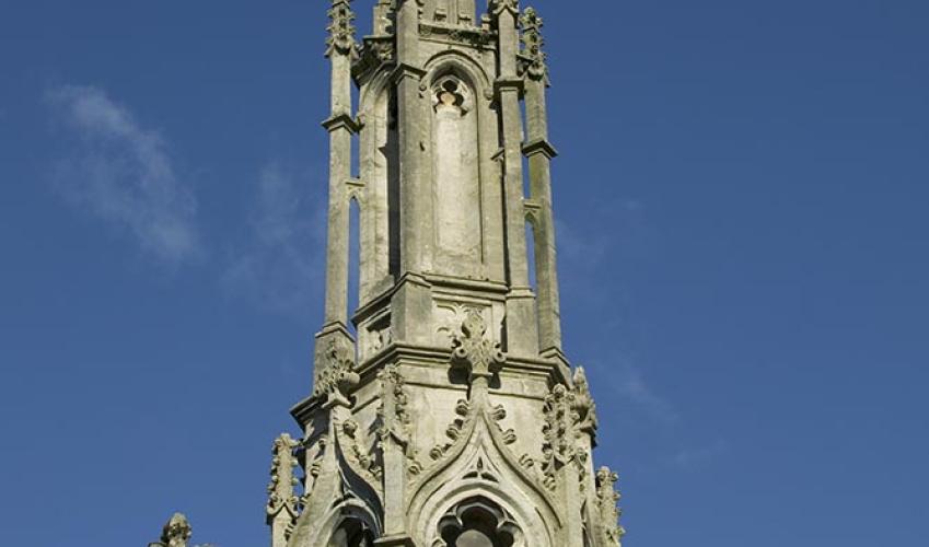
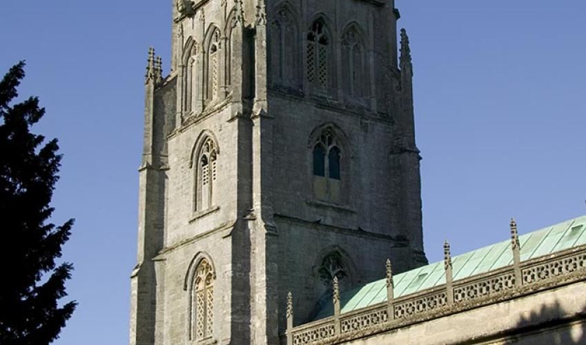
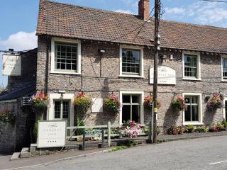
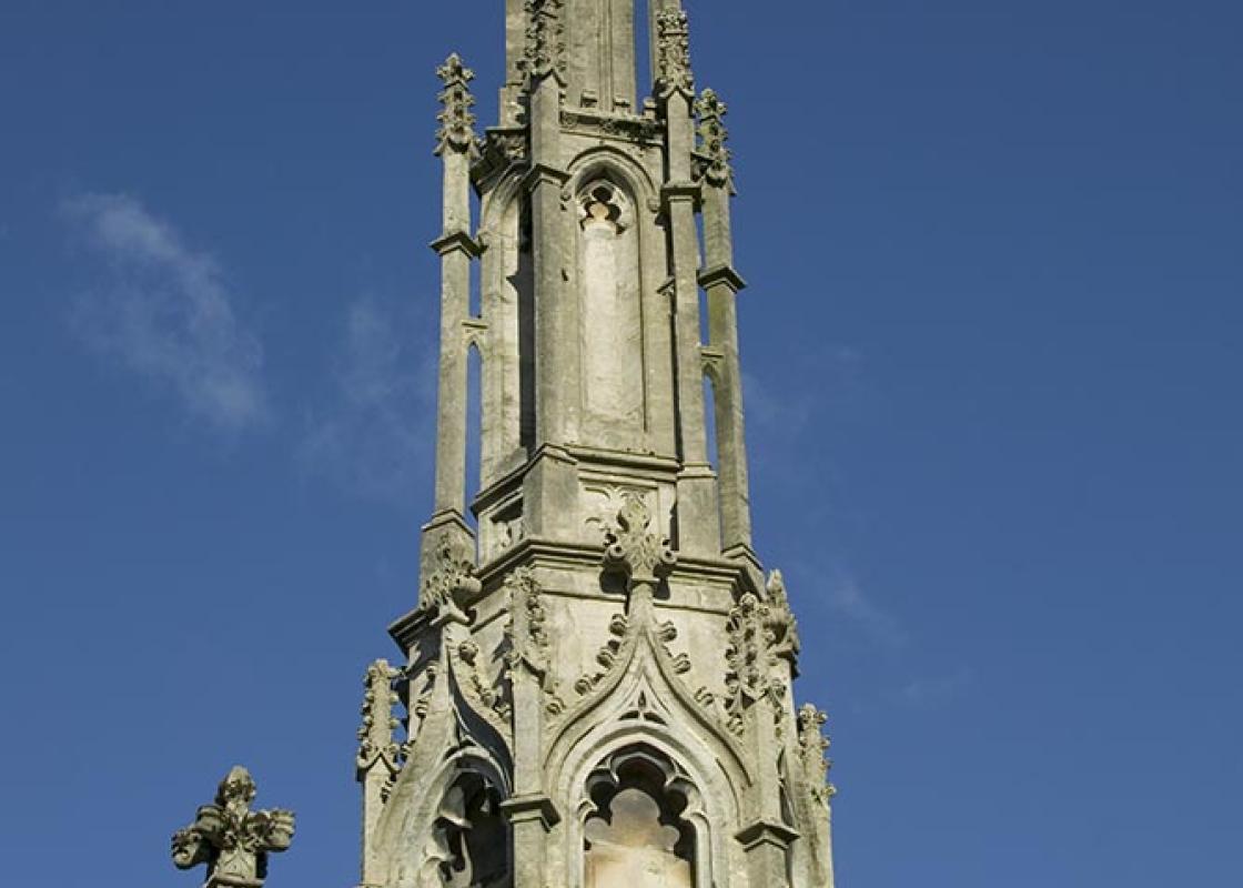
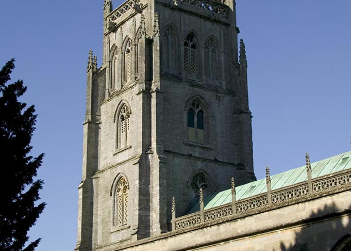
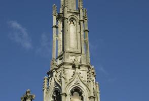
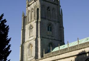
Weavers’ cottages are on the right before Garston Street bends left. At its end jiggle right then left into the short cul-de-sac Leg Square. This in turn leads into a walled path, with Gaol Lane continuing up to the right above. Turn right on a paved path (‘No Bikes’) with a filled-in archway on the left, to pass the church, then bear right to reach the market place. From the Market Cross turn left up the High Street for the tourist information centre or keep ahead along an unnamed narrow street to Great Ostry car park.
The Fosse Way was the 4th-century equivalent of the M5 motorway, running from the south coast to Lincoln. Ilchester, at the junction with the road to the coast over the Polden Hills, became the local centre of government, with rich civil servants building villas in the countryside around. Shepton... Mallet was a Roman industrial town beside the road – pottery was made here for use by the army. Meanwhile Bath, with its hot springs, was an early motorway service station. Straight way Without a map, a straight line is the easiest to survey and lay out on the ground. Often the road is lined up on a convenient sighting point; here, the Iron Age barrows on Beacon Hill seem to have been the place the Romans aimed for. There's a junction with another Roman road, today's B3135, at this point. Modern-day mystics claim the barrows mark the intersection of energy-paths called leys that fly like arrows all over the countryside; the sensitive Celts laid their paths along such lines and the Romans simply built theirs on top. Roman roads stayed in use for centuries after the Romans’ departure; with new roads being built on the foundations of the old, the Fosse Way became, through the ages, the A37. Elsewhere it was useful to define the boundary of a medieval estate: today that line may be a field-edge, and possibly a parish boundary as well. On Beacon Hill the line of the old road is marked by boundary stones marked WMFM for owner William Melliar Foster Melliar. Sheep town Shepton is 'sheep pen'; from the Middle Ages onward, wool and weaving made the place prosperous. Weavers' cottages from the 17th century, with their slightly larger windows, are along Garston Street, though you'll have to walk in the roadway to appreciate their handsome 'vernacular' (ie just built rather than architect designed) fronts. The market cross dates from about 1700 and was restored in 2012 after featuring in the BBC's Turn Back Time programme; but the town was a market centre from AD 1235. In the 18th century, woollen mills were powered by the water of River Sheppey. But after that weaving gave way to brewing and cider-making, which continue today – the end part of the route to Shepton Mallet town centre is signed 'fruit deliveries'. Shepton houses the Bath & West showground, and is the local town to the Glastonbury Festival (Wells is closer, but perhaps less welcoming to mudstained festival-goers).
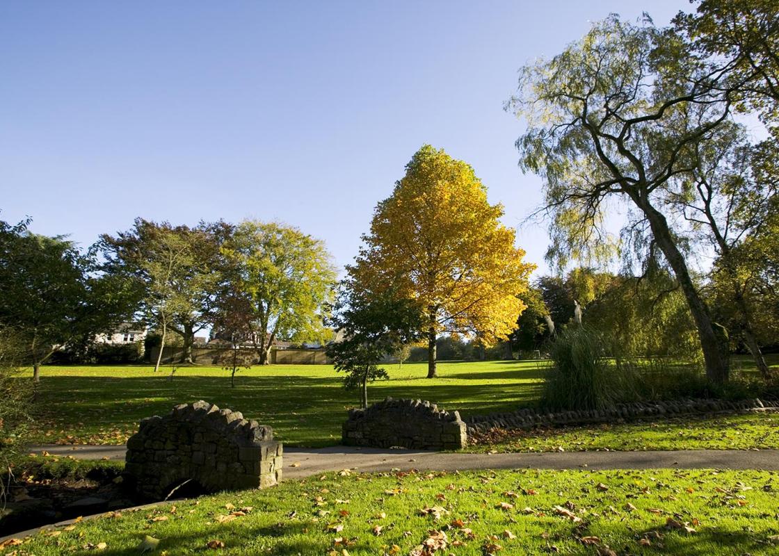
Somerset remains rural and unspoiled, and ever popular areas to visit are the limestone and red sandstone Mendip Hills rising to over 1,000 feet, and by complete contrast, to the south and southwest, the flat landscape of the Somerset Levels. Another popular spot, the Quantocks, once the haunt of poets Coleridge and Wordsworth, are noted for their gentle slopes, heather-covered moorland expanses and red deer.
"Catch a bus for this linear stroll along a Roman motorway."
Walk details
1hr 40min
Difficulty:
Medium
Gradient:
Challenging
Distance:
3.5 miles (5.7kms)
Ascent:
300ft (91m)
Walk directions
The bus stops at the Oakhill Inn, where you should alight. Start along Fosse Road, passing some 17th-century cottages to Fosse Toll Cottage. Here the track of the Fosse Way sets off on the right.
1 of 6
At the first rise the original path must have become so eroded that the track abandons it out to the right. It rejoins the Roman line 300yds (274m) further on. The track runs up to a minor road at the top of the slope.
2 of 6
The direct route through the wood ahead involves a steep descent. Those wishing to avoid this can turn right, along the road, for 70yds (64m) to where the signposted ‘Fosse Way’ continues on the opposite side. The adventurous can cross directly into the wood, to follow a small path ahead along a buried steel pipe. Drop steeply to the corner of open ground and continue along the wood edge to rejoin the main track. Once out of the wood the wide, tree-lined path continues ahead.
3 of 6
At a lane turn left for 150yds (140m), then back right for 250yds (230m). The Fosse Way track continues on the left, passing a small limestone quarry. The track rises gradually, then descends towards Shepton Mallet. As the descent steepens, bare rock shows in the bed of the trackway. At a fenced gas-board hut, ignore the path off to the right, but after another 220yds (200m) take a stile on the right, with a viaduct ahead.
4 of 6
Cross a field towards the viaduct, passing to the right of a hollow ash tree, then bearing left towards the right-hand of two stiles. A path leads on under the viaduct and across the end of a street into a walled path, with a glimpse into the Kilvert Court Gardens on the right. Emerge through a small car park. Turn right past a Georgian brewery and 20th-century cider works; go under an overhead pipe and turn left at the ‘Babycham’ plastic chamois.
5 of 6
Weavers’ cottages are on the right before Garston Street bends left. At its end jiggle right then left into the short cul-de-sac Leg Square. This in turn leads into a walled path, with Gaol Lane continuing up to the right above. Turn right on a paved path (‘No Bikes’) with a filled-in archway on the left, to pass the church, then bear right to reach the market place. From the Market Cross turn left up the High Street for the tourist information centre or keep ahead along an unnamed narrow street to Great Ostry car park.
The Fosse Way was the 4th-century equivalent of the M5 motorway, running from the south coast to Lincoln. Ilchester, at the junction with the road to the coast over the Polden Hills, became the local centre of government, with rich civil servants building villas in the countryside around. Shepton... Mallet was a Roman industrial town beside the road – pottery was made here for use by the army. Meanwhile Bath, with its hot springs, was an early motorway service station. Straight way Without a map, a straight line is the easiest to survey and lay out on the ground. Often the road is lined up on a convenient sighting point; here, the Iron Age barrows on Beacon Hill seem to have been the place the Romans aimed for. There's a junction with another Roman road, today's B3135, at this point. Modern-day mystics claim the barrows mark the intersection of energy-paths called leys that fly like arrows all over the countryside; the sensitive Celts laid their paths along such lines and the Romans simply built theirs on top. Roman roads stayed in use for centuries after the Romans’ departure; with new roads being built on the foundations of the old, the Fosse Way became, through the ages, the A37. Elsewhere it was useful to define the boundary of a medieval estate: today that line may be a field-edge, and possibly a parish boundary as well. On Beacon Hill the line of the old road is marked by boundary stones marked WMFM for owner William Melliar Foster Melliar. Sheep town Shepton is 'sheep pen'; from the Middle Ages onward, wool and weaving made the place prosperous. Weavers' cottages from the 17th century, with their slightly larger windows, are along Garston Street, though you'll have to walk in the roadway to appreciate their handsome 'vernacular' (ie just built rather than architect designed) fronts. The market cross dates from about 1700 and was restored in 2012 after featuring in the BBC's Turn Back Time programme; but the town was a market centre from AD 1235. In the 18th century, woollen mills were powered by the water of River Sheppey. But after that weaving gave way to brewing and cider-making, which continue today – the end part of the route to Shepton Mallet town centre is signed 'fruit deliveries'. Shepton houses the Bath & West showground, and is the local town to the Glastonbury Festival (Wells is closer, but perhaps less welcoming to mudstained festival-goers).
Somerset remains rural and unspoiled, and ever popular areas to visit are the limestone and red sandstone Mendip Hills rising to over 1,000 feet, and by complete contrast, to the south and southwest, the flat landscape of the Somerset Levels. Another popular spot, the Quantocks, once the haunt of poets Coleridge and Wordsworth, are noted for their gentle slopes, heather-covered moorland expanses and red deer.