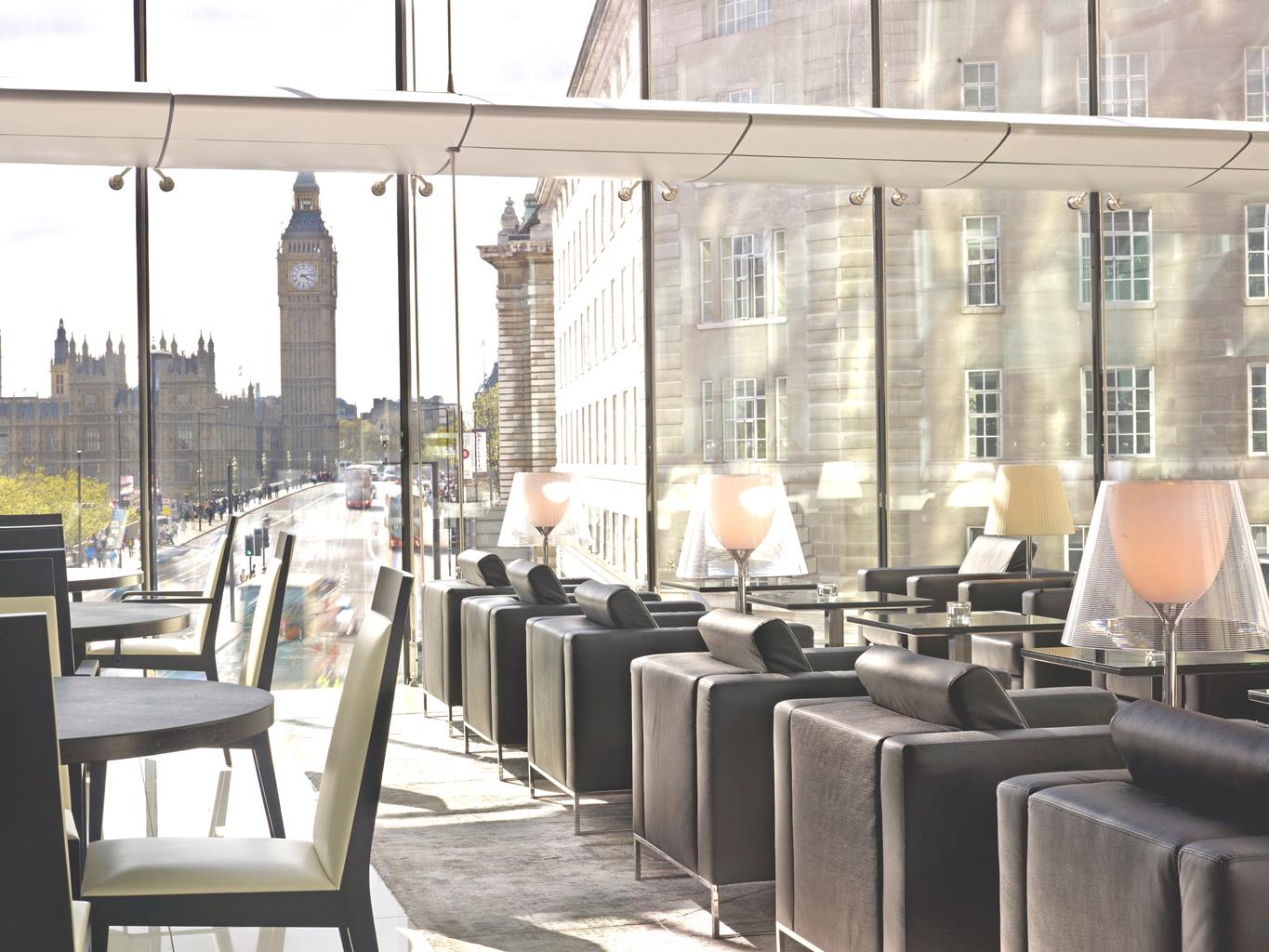
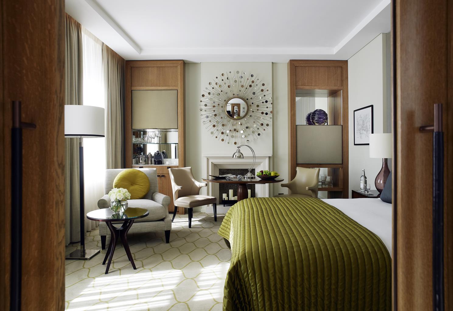
Corinthia Hotel London
Steeped in history, this elegant hotel first opened in 1885. The team are welcoming and friendly…

South Bank
2.75 miles (4.4kms)
This is a well-trodden route and a favourite for many people as it exudes a sense of space in an otherwise highly-populated city. Long before the Romans arrived, the river was used as a highway by seafaring traders. The Italians, delighted by its potential, built the first timber bridge in AD 50. By the Middle Ages the river had become so polluted that it constituted a serious hygiene problem – it's no surprise that conditions provided the breeding ground for the Black Death, which arrived in 1348 carried by rats on ships from Europe. With such a colourful history, no wonder it's endearingly called Old Father Thames.
Westminster may have been the bridge that opened up the South Bank but it was far from being a smooth operation. Initially built from stone in the 1740s, its opening was delayed by sabotage from ferrymen and the death of its sponsor. The Gothic patterns seen on the decorative wrought-iron bridge today are the work of Charles Barry, the Parliament architect, when rebuilding commenced in 1854. In contrast, Hungerford, the only combined rail and foot crossing, was built as a suspension bridge and bought in 1859 to extend the railway line to Charing Cross station. Its legacy lives on in the West Country, for the Clifton Bridge in Bristol was constructed from the recycled, original Hungerford Bridge.
When work began to replace the original Waterloo Bridge in 1939, World War II was looming on the horizon. The new bridge eventually opened six years later, having been built mainly by women. Its architect, Sir Giles Gilbert Scott, was also the designer behind the popular red telephone kiosk and Bankside power station, now the impressive Tate Modern. Another building with power station roots is the Oxo Wharf, which was acquired in the 1920s by the Meat Extract Company that made the Oxo cubes still available from supermarkets today. The art deco Oxo Tower has 10ft (3m) windows, which, at night, are illuminated in such a way as to spell out the distinctive 'noughts and crosses' in red neon lights to all four corners of London.
Blackfriars, the final bridge along this stretch known as the South Bank, opened in 1769 and was originally named after the Tory Prime Minister, William Pitt – it didn't take long to change the name, though. The present construction has five cast-iron arches. The remains of the rail bridge that once ran parallel look almost surreal, like the posts of a cochineal-tinted wedding cake rising out of the water – well, I did say it was surreal.
Leave Westminster tube station by Exit 1 to follow signs to Westminster Pier. Walk up the steps to your right and cross Westminster Bridge. Turn left along the riverfront. Ahead are the 32 transparent pods of the 2,100-ton London Eye, a huge modern Ferris wheel. Just past Jubilee Gardens, on the right, is the next bridge, Hungerford, sandwiched between two newer pedestrian bridges called the Golden Jubilee Bridges.
Continue ahead past the Royal Festival Hall and look to the opposite bank of the Thames for Cleopatra's Needle. After the National Film Theatre and its outdoor cafe is Waterloo Bridge.
The path bends to the right, past the Royal National Theatre and the Hayward Gallery, before reaching the craft shops and restaurants of Gabriel's Wharf. Here turn right and walk through the central path away from the waterfront. Turn left at the end into Upper Ground and 100yds (91m) further on take another left turn into Barge House Street.
Ahead, the brown brickwork of the Oxo Wharf somewhat shrouds the entrance to the Oxo Tower. Enter the glass doors to your left and catch the escalator to the eighth floor for a view of the skyline, or continue along the ground floor to the riverside exit.
Cross Blackfriars Bridge and turn left to follow the Thames Path along the wide pavement adjacent to the river. The first boat you will pass on your left is the HMS President, and further on is the 18th-century Somerset House, a neoclassical building and one of London's major arts and cultural centres.
A further 200yds (183m) ahead the path passes Cleopatra's Needle before reaching Embankment tube. Northumberland Avenue is the next road to appear on your right. About 200yds (183m) further on is Horse Guards Avenue, which is sandwiched between the formidable buildings of the Old War Office and the Ministry of Defence. You are now almost parallel with the London Eye, on the opposite bank of the River Thames. When you reach Westminster Bridge turn right into Bridge Street, to Westminster tube and the start.
Paved streets
Riverside walk
On lead
AA Street by Street London
North side of Blackfriars Bridge; south side by London Eye
Read our tips to look after yourself and the environment when following this walk.
Greater London is one of the world’s largest urban areas; 33 boroughs stretching north to Enfield, south to Croydon, east to Havering, west to Hillingdon and with central London at the heart of it all.
Greater London was officially created in 1965, but the boroughs themselves all have their own histories going back much further. Greenwich is home to the Prime Meridian, which all clocks on earth take their time from, while Hounslow contains Heathrow Airport, one of the busiest airports in the world. Greater London contains a multitude of parks and green spaces, from the six Royal Parks (including Richmond Park, Green Park, Hyde Park and Regent’s Park) and other huge open spaces like Hampstead Heath and Clapham Common; to smaller community spaces like Clissold Park in Stoke Newington and Burgess Park in Southwark.
The centre of London has its quiet spaces too, like Coram’s Field by Great Ormond Street, and Camley Street Natural Park, a stone’s throw from King’s Cross and St Pancras. One of the city’s most impressive features is the London Underground. Beginning in 1863 as the Metropolitan Railway, it took commuters into The City from the suburbs of Middlesex. It was the first underground railway in the world, and now consists of 11 lines, 270 stations, and 250 miles (402km) of track. It’s estimated that nearly five million journeys are taken every day, and there are nearly one and a half billion riders each year. At peak times, there are more than 543 trains whizzing around the Capital.
Discover more than 15,000 professionally rated places to stay, eat and visit from across the UK and Ireland.
Choose a place to stay safe in the knowledge that it has been expertly assessed by trained assessors.
Search by location or the type of place you're visiting to find your next ideal holiday experience.
Read our articles, city guides and recommended things to do for inspiration. We're here to help you explore the UK.