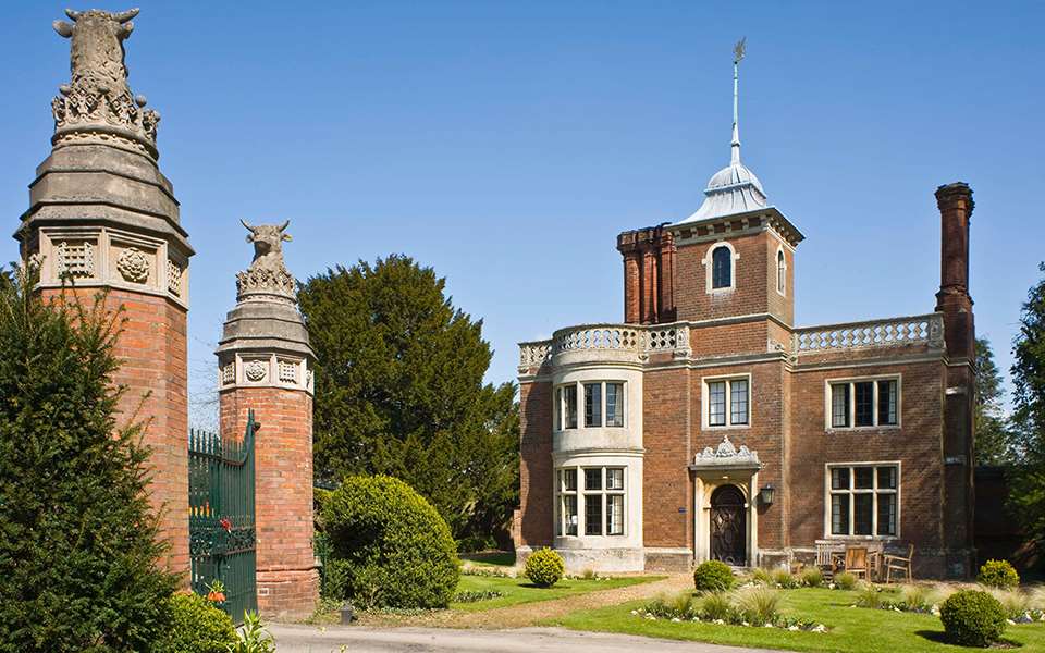


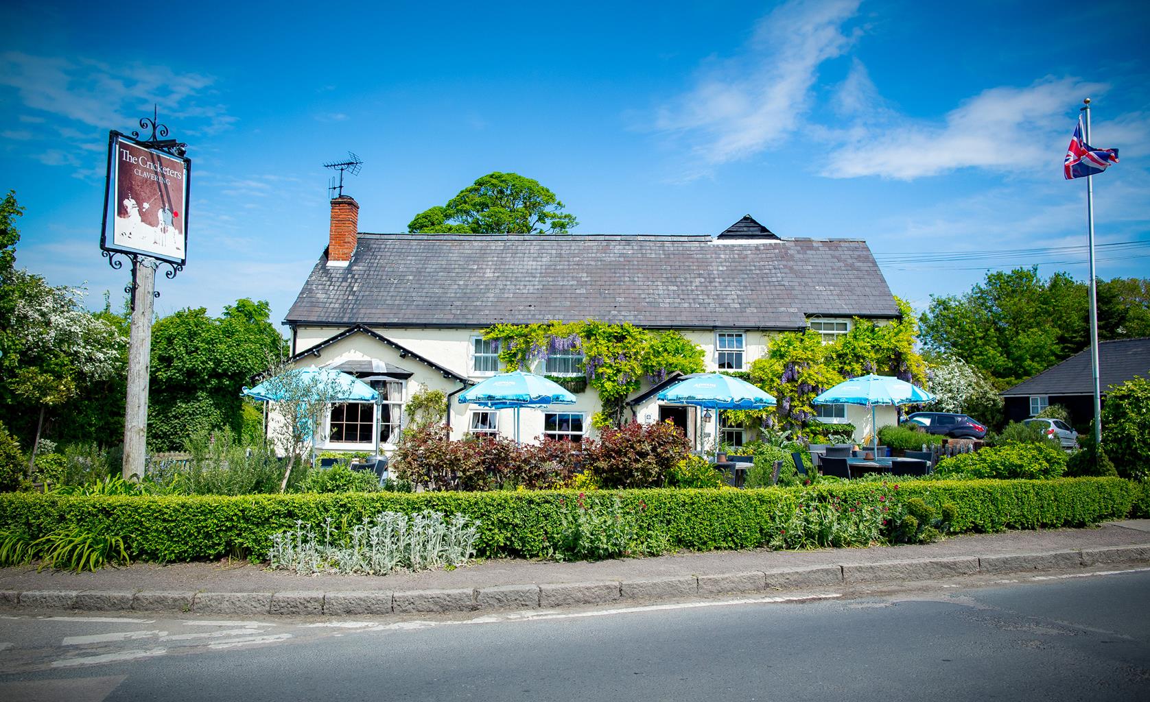
The Cricketers
The Cricketers is an English country Inn in rural North Essex, close to the historic market town…

Barley
6.75 miles (10.9kms)
The village of Barley was mentioned in the Domesday Book as Berlei, which is thought to have meant a Saxon Lord’s meadow or woodland clearing rather than a crop.One of its oldest buildings is the Town House opposite the church, and although it is now the village hall in a previous life it was a workhouse and a school. In 1996 it became the first village hall in the country to be licensed for civil marriages. Daniel Defoe mentioned the building in 1726 in his book Tours of Britain. He wrote about the large room upstairs ‘for entertainment and merriment’ and a small room for food preparation that had 'a spit, large cauldron and dripping pan.’
After Barkway, towards the end of the walk, you will pass beside Newsells Park Stud, which bred the 1959 Derby winner, Parthia. Set within 1,200 acres (486ha) and home to more than 70,000 trees it was valued at £6 in the 11th century – a staggeringly high amount then – when it was owned by William the Conqueror’s steward. In the Middle Ages it belonged to the wealthy de Scales family and used by Lord de Scales as a base between his homes in Norfolk and London. He was a passionate man and in 1422 he crossed the Channel to fight Joan of Arc in Normandy and commanded a corps of 728 archers. The estate later passed to the Duke of Norfolk and then the Earl of Oxford. The de Trafford family established the stud in 1926 and today it has two resident stallions, Mount Nelson and Equiano.
The obelisk at Newsells Park was erected by Lord Strathnairn in memory of his favourite horse, which he rode during the Indian Mutiny. A keen horseman, he sacked most of the gardeners and increased the number of grooms when he inherited the estate, but one morning he was so annoyed at the sad state of the gardens that he told the head gardener he had ‘had better men than him shot before breakfast’. The gardener knocked him to the ground. Strathnairn was so impressed that from then on he made sure the gardener had some extra help.
Facing the church turn right and then left along School Lane and join a footpath in between houses. At a path junction turn right, cross a driveway and keep ahead to a lane. Turn left and at the T junction, slip through the hedge gap ahead to join a hedge-lined footpath between fields.
Cross a track and continue ahead to walk through a short section of woodland. Cross an arable field and head towards a wood. Bear right to enter the woodland by a fingerpost and keep ahead through the wood. The path then crosses a field followed by a track.
A few paces from the track take the path to the left through crops to reach a fingerpost at a path crossing. Cross the footbridge and continue along the next cross-field path towards whitewashed farm buildings.
About 200yds (182m) before the farm turn right along a cross field path. This is the Hertfordshire Way which runs parallel with a hedge on the left. Cross a footbridge and follow the enclosed path to a lane. Turn right and a few paces further, go through a kissing gate on the left, following Hertfordshire Way signs. Cross a paddock, go through two kissing gates in quick succession and bear left across the next field towards Earls Wood. Keep ahead at a fingerpost at the edge of fencing and go through a kissing gate. Keep the woodland to your right and where the wood ends, follow a track and pass beside a barrier. Turn right along the driveway and pass to the right of Oak Hall. Go through a gate and follow a track to Burrs Lane.
Turn right into High Street, Barkway, walk past the duck pond and war memorial and keep along the Cambridge Road (B1368) for 50 yds (46m).
Turn left along a bridleway that runs alongside the village hall and curves right along the field-edge. Go through a metal gate and continue forward with a paddock on your right. Ahead is the obelisk at Newsells Park. The path descends to a metal gate. Go through it, turn right and then left and go through a wooden gate to enter a plantation. Follow the path as it veers left and look out for a right fork leading to a wooden gate. Pass beside this and keep along the bridleway which becomes an enclosed path between fencing and descends, via steps, to a lane.
Turn right along the lane to a memorial to those killed in the Great War. Turn left here along the byway to a T-junction.
Turn right on a gradually ascending track that later passes houses. Keep straight on to join the pavement beside the B1368 and pass the old village lock-up and war memorial and the Fox and Hounds pub into Church End where the walk began.
Cross field and woodland track, country lanes and short section along Cambridge Road
Extensive views and rolling countryside
Keep on lead for much of the route, especially near farms
OS Explorer 194 Hertford & Bishop's Stortford
Near the church in Church End, Barley
None on route
Read our tips to look after yourself and the environment when following this walk.
Discover more than 15,000 professionally rated places to stay, eat and visit from across the UK and Ireland.
Choose a place to stay safe in the knowledge that it has been expertly assessed by trained assessors.
Search by location or the type of place you're visiting to find your next ideal holiday experience.
Read our articles, city guides and recommended things to do for inspiration. We're here to help you explore the UK.