

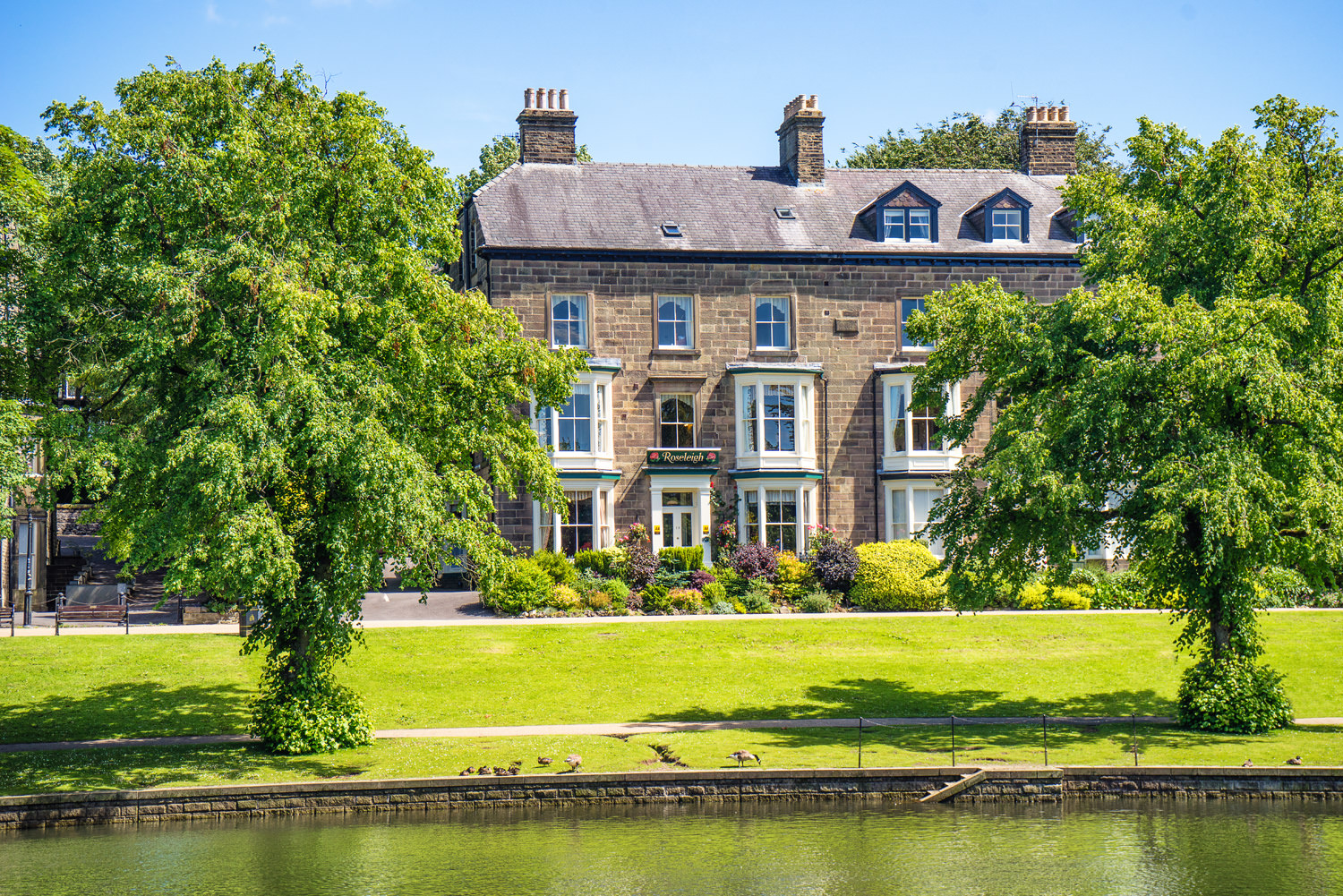
Roseleigh Guest House
This elegant property has a prime location overlooking Pavilion Gardens, and the quality…

Once an industrial wasteland, Buxton Country Park now offers woodland, a show cavern and views across the town.
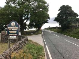
Buxton
2 miles (3.2kms)
Buxton Country Park is spread across the wooded hillside and open slopes of Grin Low, south of the town centre. It’s a lovely place where recreation and conservation co-exist quite happily, but less than 200 years ago this land was entirely despoiled by industry. Limestone hewn from the hillside quarry was burned to produce lime, which was used by farmers as fertiliser and the building industry as mortar. An estimated one million tonnes of lime waste was dumped on the hillside, with some workers even carving out primitive dwellings in the detritus.
In the 1970s the site was turned into a country park by Derbyshire County Council and its evolution has continued ever since. Buxton Civic Association, which manages Grin Woods, has produced an excellent booklet guide called Ring of Trees which describes a 10-mile (16.1km) circular walk around Buxton, visiting the many individual woodlands which surround the town centre. Grin Woods is one of the largest, planted in the 1820s by the then landowner, the 6th Duke of Devonshire, after complaints that the quarry and its wasteland was becoming an eyesore. Now matured, the deciduous woodland includes beech, ash, hazel, elm and yew, which provides a habitat for all manner of birds, mammals, insects and fungi. The lime-rich soils of the open grassland above are also home to rare flora like orchids.
The walk begins by skirting the old quarry – now a caravan park and campsite – then drops down through the woodland. There are numerous paths, so if you happen to be distracted by a woodpecker or squirrel and lose your way then simply aim downhill for the track along the bottom edge. Here you’ll have the option of a visit to Poole’s Cavern. You can join one of the regular, daily guided tours to the underground show caves, each illuminated so you can admire the impressive stalactites and stalagmites. There’s also a free visitor display and cafe if you want to postpone a subterranean walk for another day.
The final highlight of the walk is the 1,433ft (437m) open summit of Grin Low, topped by a folly called Solomon’s Temple. It was built in 1896 and named after local farmer and landowner Solomon Mycock, who was responsible for an earlier structure on this spot. Its purpose was purely to enable the public to appreciate the view, and over a century later it still performs this function admirably.
Leave the far end of the car park on a rising path by a public footpath sign. Near the top turn right for a fenced path above the car park. At the very far end go through a gate and aim half right across the grassy hillside to the road.
Go across the road, and with the fence of the old quarry on your right, continue towards the woods on the far side and down to a gate at the very end into the trees. Go through the gate and turn right.
Descend some steps into the woods, fork right, then right again after some more steps. Keep to the woodland path along the top of the slope, up some further steps, then gently downhill, ignoring small paths off left and right. When you come to a signposted junction turn left, signed ‘Poole’s Cavern’, then immediately fork right for an occasionally stepped, twisting path down through the middle of the woods. At the bottom turn right onto a wide track.
To visit Poole’s Cavern, or its cafe, go left down the steps to the car park and visitor centre virtually in sight below. Otherwise continue along this broad, straight track, signed ‘Solomon’s Temple’, which rises steadily through the woodland. At a fork near the top go straight on until you reach a stile in the wall on the woodland’s upper edge.
Turn left and walk out across the open, bumpy hilltop to Solomon’s Temple. There are paths of sorts, but it’s all open and accessible and most people make their own way to the hilltop landmark.
After taking in the views, return to the stile on the edge of the woods. Instead of going back over turn left for the path along the outer edge of the wall. Go up the steps at the end, through a gate, then left on the path back down to the car park.
Grassy tracks and woodland paths, occasionally muddy, some steps
Open grassy hillside, thickly wooded slopes
Good off-lead route
OS Explorer OL24 White Peak
Grin Low car park (honesty box), check closing times
At car park
Read our tips to look after yourself and the environment when following this walk.
Discover more than 15,000 professionally rated places to stay, eat and visit from across the UK and Ireland.
Choose a place to stay safe in the knowledge that it has been expertly assessed by trained assessors.
Search by location or the type of place you're visiting to find your next ideal holiday experience.
Read our articles, city guides and recommended things to do for inspiration. We're here to help you explore the UK.