Around Ouse Valley Park
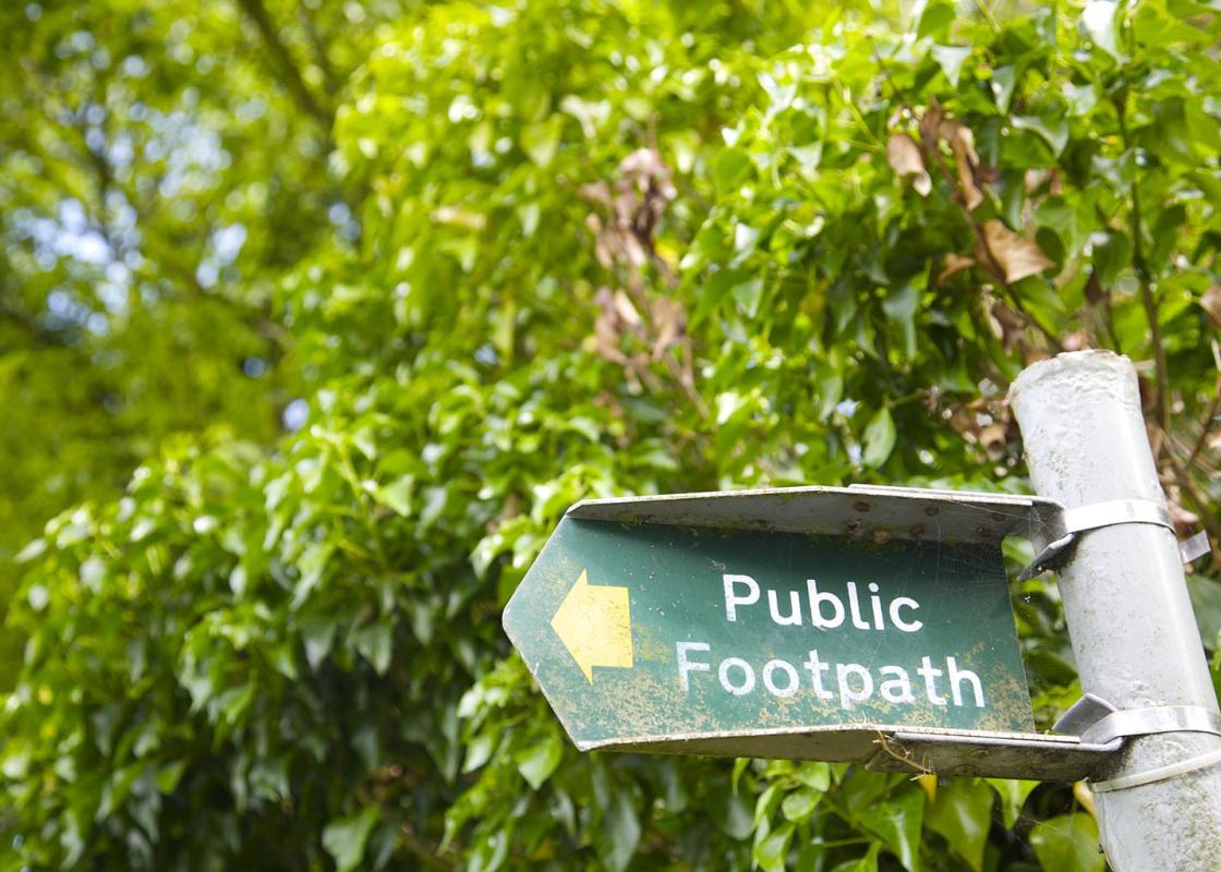
With The Galleon at your back turn left, cross the bridge, go past the small car park and take the waymarked path onto a paved track heading to the right, across open fields, with allotments to your right. As you approach Manor Farm house, veer right and look for a small blue-green gate. Go through it and follow a tree-lined path. The path continues ahead, leaving the trees, and joins a tributary of the Great Ouse (left). Continue ahead at the double gates, signed 'Plant Crossing'.
With the Wolverton Viaduct facing you, turn left across the wooden footbridge following the Ouse Valley/Iron Trunk Aqueduct signs. Continue straight ahead with the River Great Ouse to your right and keep following the path, passing a white footbridge that heads north. The 120-acre (49ha) site area (cordoned off) to your left is former quarry workings, home to an innovative proposal to recreate the lost environment of the area’s 'Floodplain Forest’. It is the first project of its kind in the UK, where planning permission has been granted for mineral extraction specifically to create a new area of floodplain forest with new planting. On the other side of the River Great Ouse, to your right, is Cosgrove Park.

Been on this walk?
Send us photos or a comment about this route. Or recommend a route of your own.

Walking in Safety
Read our tips to look after yourself and the environment when following this walk.

Get an AA guide
Explore our range of ‘50 Walks in’ guides - they’re the ideal companion for a ramble.
Been on this walk?
Send us photos or a comment about this route. Or recommend a route of your own.
Walking in Safety
Read our tips to look after yourself and the environment when following this walk.
Get an AA guide
Explore our range of ‘50 Walks in’ guides - they’re the ideal companion for a ramble.
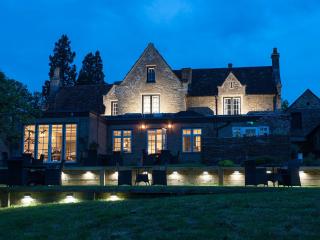
Nearby places to stay
View all (8)