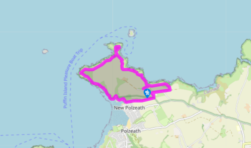
Around Pentire Point and The Rumps
Recommended by

"A breezy walk round the National Trust headland of The Rumps."
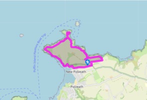
Walk directions
From the top corner of the car park take the footpath to the right of the National Trust map and information board. Soon cross a field and go through a gate to join the coastal footpath, signed 'Rumps'. Turn left along the Coast Path.
Go through a gate (dogs on lead here). Go up steps and continue steeply uphill and then downhill, and through another gate. Go through a gate and pass a side path to Pentire Farm. Reach a junction above The Rumps.
View all directions
Additional information
Terrain
- Clearly identifiable and good underfoot; may be muddy after rain and in winter
Landscape
- A rugged flat-topped headland of very high cliffs backed by typical coastal heathland and close-cropped grass
Dog friendliness
- Lead requiered in areas where livestock might be grazed
Parking
- National Trust car parks at Pentireglaze
Toilets en route
- Pentireglaze car park
About the walk
In Cornwall you are spoiled for choice when it comes to mighty headlands above the glittering sea. This walk takes you onto one of the mightiest, at Pentire on the northern arm of Padstow Bay, the great estuary of the River Camel. The headland is ringed by towering black cliffs that rise to over...
Read more

Been on this walk?
Send us photos or a comment about this route. Or recommend a route of your own.

Walking in Safety
Read our tips to look after yourself and the environment when following this walk.

Get an AA guide
Explore our range of ‘50 Walks in’ guides - they’re the ideal companion for a ramble.
Been on this walk?
Send us photos or a comment about this route. Or recommend a route of your own.
Walking in Safety
Read our tips to look after yourself and the environment when following this walk.
Get an AA guide
Explore our range of ‘50 Walks in’ guides - they’re the ideal companion for a ramble.
About the area
Cornwall has just about everything – wild moorland landscapes, glorious river valley scenery, picturesque villages and miles of breathtaking coastline. Known for its popular surfing spots, the region provides ample opportunities for water sport enthusiasts, and for those who prefer to stay on land, visitor attractions like the Eden Project and the Lost Gardens of Heligan offer a lovely day out.
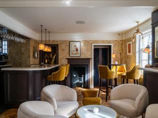
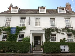
Nearby places to stay
View all (8)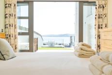


Nearby places to stay
Atlantic View Coach House
Awaiting description...
Atlantic View House
Awaiting description...
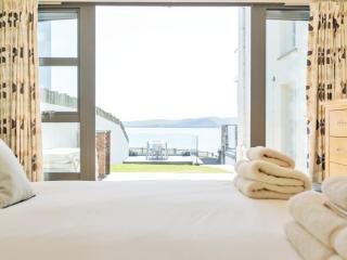
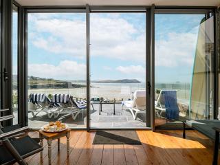
Atlantic View Holidays
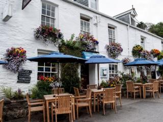
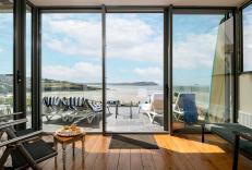
Atlantic View Holidays offers self-catering accommodation in two houses in New Polzeath, between Port Isaac and Rock, in north Cornwall. A balcony and a large raised terrace facing the ...
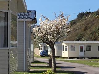
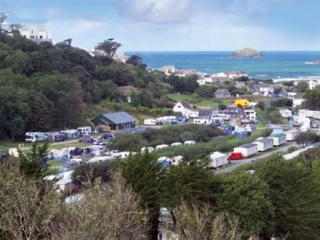
Polzeath Beach Holiday Park
Polzeath Beach Holiday Park comprises a number of luxury static caravans and a two-bedroom lodge. The Blue Flag beach, one of only seven in Cornwall, is a vast expanse of Atlantic Ocean...
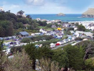
Southwinds Caravan & Camping Park
A peaceful site with beautiful sea and panoramic rural views, within walking distance of a golf complex, and just three quarters of a mile from beach and village. There are four spaciou...
Valley Caravan Park Apartments
A short stroll from the sand in surfers’ paradise Polzeath, Valley Caravan Park Apartments make a great base for exploring the North Cornwall coast from the fine restaurants and charmin...
Valley Caravan Park
Run by the same Cornish family since 1948, Valley Caravan Park is just 200 yards from the beach in the surfers’ paradise of Polzeath. The park is kept as natural as possible to encourag...
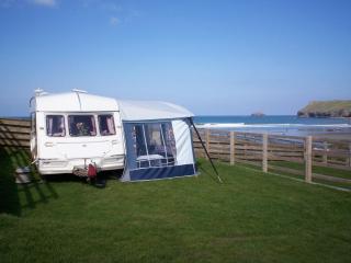
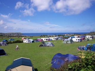
Tristram Caravan & Camping Park
An ideal family site, positioned on a gently sloping cliff with grassy pitches and glorious sea views, which are best enjoyed from the terraced pitches, or over lunch or dinner at the e...
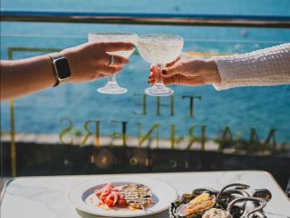
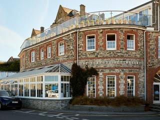
Places to eat nearby View all