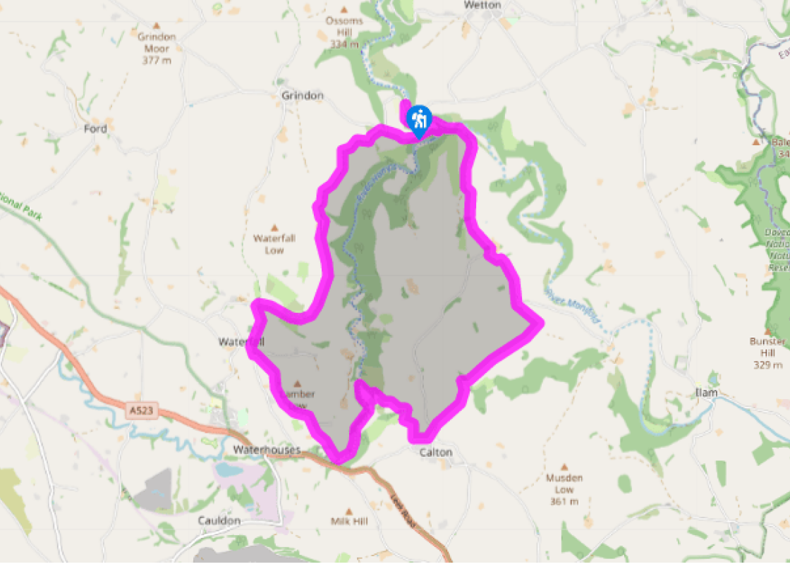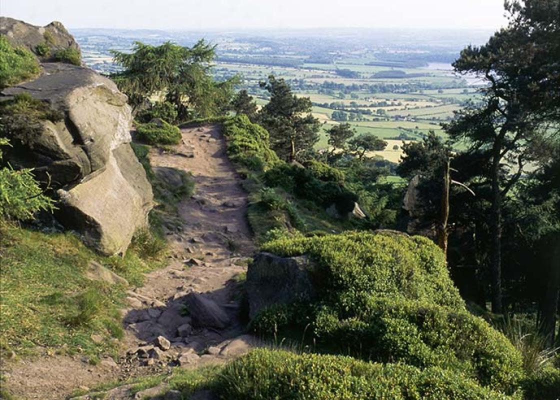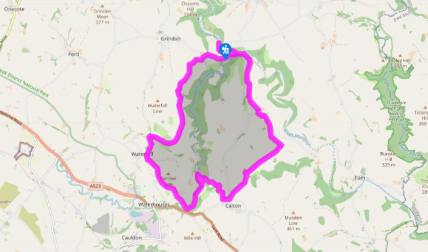
Beeston Tor
From the car park cross the road for the right of two parallel tracks. After 650yds (594m) turn right into Weag’s Barn nature reserve for a waymarked bridleway up the slope. At the top keep left and with the wall on your right continue until you meet the corner of a lane. Go up the lane for 50yds (46m) then left on to another bridleway.
Drop down and cross a shallow valley, veering right to pass to the right of a large barn. Continue to the far top corner of the field, then go left beside a wall. Where this finally ends go half left to a gate and down to the valley bottom. Now swing left on a waymarked route around Saucefields Farm and along its drive into Waterfall.

Been on this walk?
Send us photos or a comment about this route. Or recommend a route of your own.

Walking in Safety
Read our tips to look after yourself and the environment when following this walk.

Get an AA guide
Explore our range of ‘50 Walks in’ guides - they’re the ideal companion for a ramble.
Been on this walk?
Send us photos or a comment about this route. Or recommend a route of your own.
Walking in Safety
Read our tips to look after yourself and the environment when following this walk.
Get an AA guide
Explore our range of ‘50 Walks in’ guides - they’re the ideal companion for a ramble.
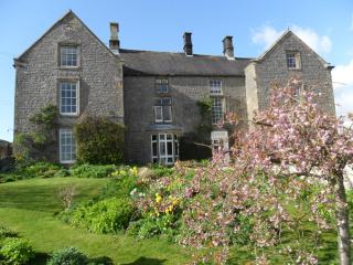
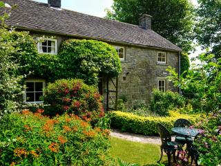
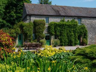
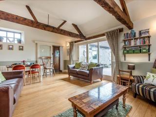
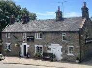
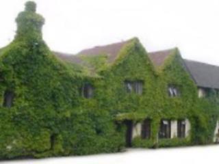
Nearby places to stay
View all (8)


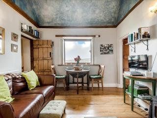
- Total units: 2
- Private garden
- Lawn area
- Garden furniture