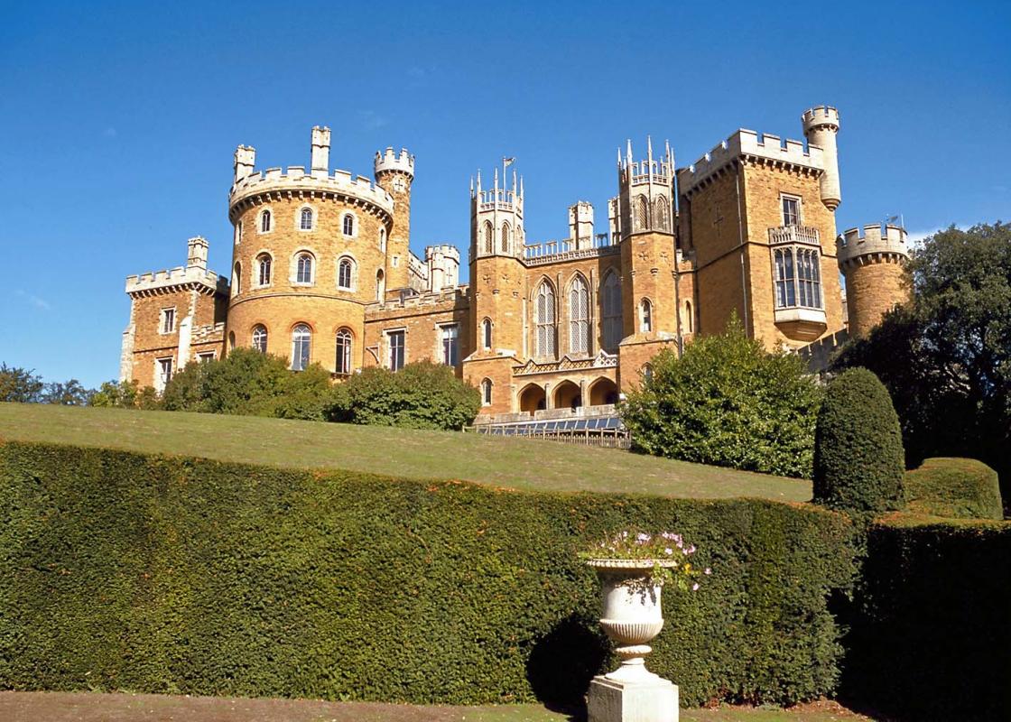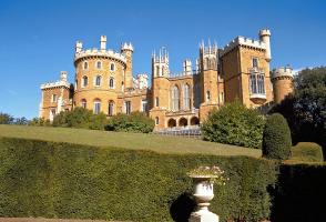
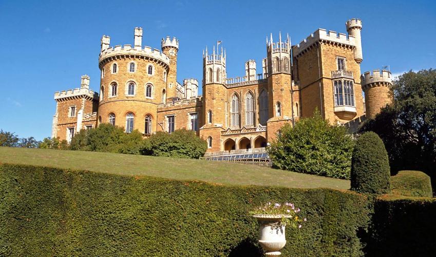
Belvoir Castle
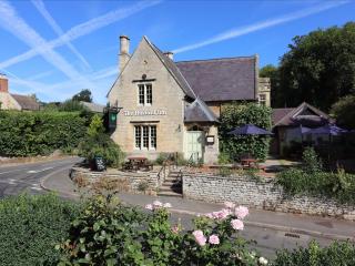
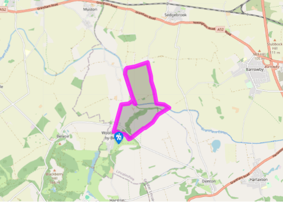
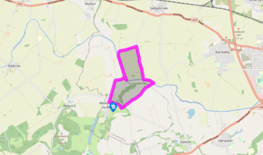
Walk northwards out of the village of Woolsthorpe by Belvoir on the pavement of Sedgebrook Road, the continuation of Main Street, towards Bottesford. Turn right into the wide-verged lane for the Rutland Arms public house (signposted) and cross over the canal bridge at Woolsthorpe Wharf.
Turn left and follow the straight, grassy bank along the Grantham Canal until Stenwith Bridge (No 60). Climb the steps to your right, just before reaching the bridge, and turn right on to the road. Follow this over the old railway bridge and out along a lovely wide lane of oak trees. After 700yds (640m) it bends left, and here turn right.

Been on this walk?
Send us photos or a comment about this route. Or recommend a route of your own.

Walking in Safety
Read our tips to look after yourself and the environment when following this walk.

Get an AA guide
Explore our range of ‘50 Walks in’ guides - they’re the ideal companion for a ramble.
Been on this walk?
Send us photos or a comment about this route. Or recommend a route of your own.
Walking in Safety
Read our tips to look after yourself and the environment when following this walk.
Get an AA guide
Explore our range of ‘50 Walks in’ guides - they’re the ideal companion for a ramble.
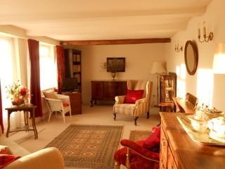
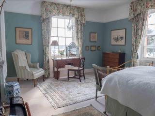
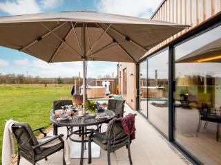
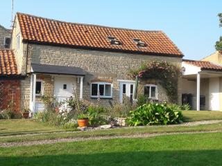
Nearby places to stay
View all (8)