"A popular stroll through one of Dartmoor’s prettiest towns and along the banks of the Teign."
Walk directions
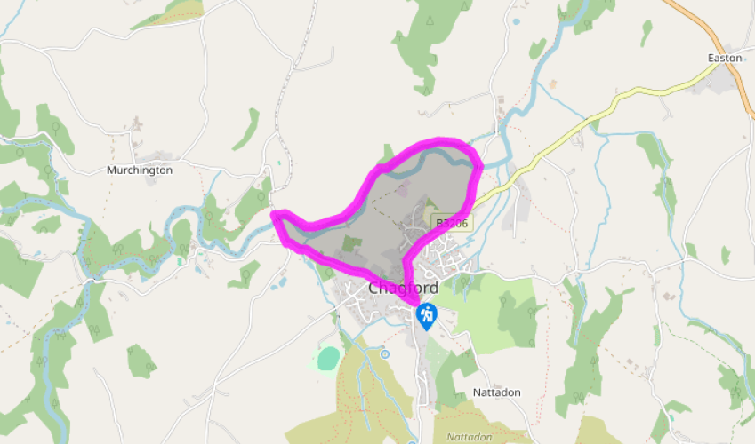
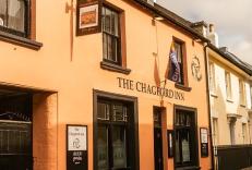
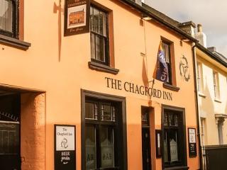
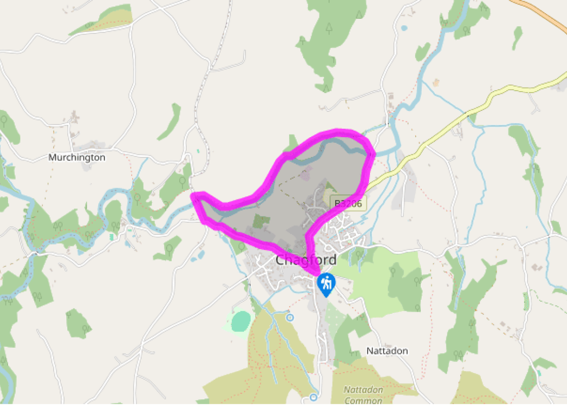
The walk starts from the west end of the 15th-century Church of St Michael and All Angels, underneath the clock, at the junction of four paths. With your back to the church, bear half right and cross the graveyard, noting The Globe Inn and early 16th-century Three Crowns on the left. Pass through a gate onto the High Street.
Turn right and walk through The Square. The Pepperpot (an octagonal market house) dates from 1862, and was built by George Hayter-Hames, a local benefactor who sponsored various town improvements.
Pass Webbers and then Bowdens stores – extraordinary emporia crammed with every household item you can imagine (well worth an exploration after your walk). Webbers began life in 1898, while Bowdens began in 1862 as the Vulcan Ironworks. Head down Mill Street. Meet a fork in the lane and keep right. The lane descends more steeply through a cutting to meet a junction at Factory Cross.
Bear right. Cross the Teign via Chagford Bridge, dating from before 1224.
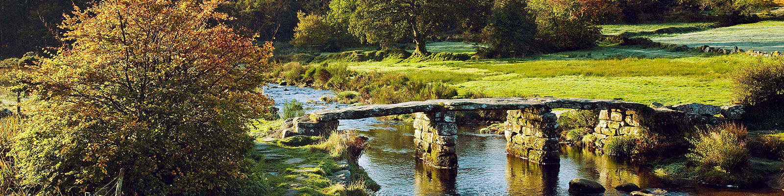
Once over the bridge turn right through a gate on the route of the Two Moors Way/Devon Coast to Coast. Go through a kissing gate and pass huge oaks protected by granite collars. Go through a gate and continue through rough grass and bracken, alongside the river – note the converted mill opposite. A succession of fields and gates follows, to reach the weir.
At this point the path swings away from the river and follows a leat that feeds Rushford Mill, and also supplies Chagford’s open-air swimming pool (which celebrated its 80th birthday in 2014). Pass through gates and fields to a footpath junction, and keep ahead again to cross the leat. Keep ahead across the field, with a hedge to your right. Pass through the hedge, and bear half left across the next field to reach the lane by Rushford Bridge.
Turn right across the river and follow the lane, which climbs steadily to a T-junction at Crossways.
Turn right and follow the road back into town, past attractive houses and cottages. Where you see The Old Forge on the left, bear left. Turn left again before Blacks Delicatessen into the churchyard, and then keep ahead to return to the start.
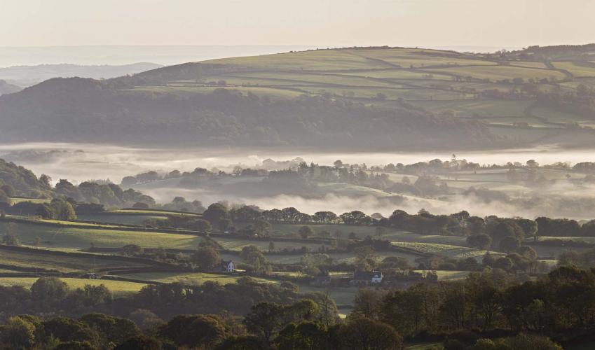
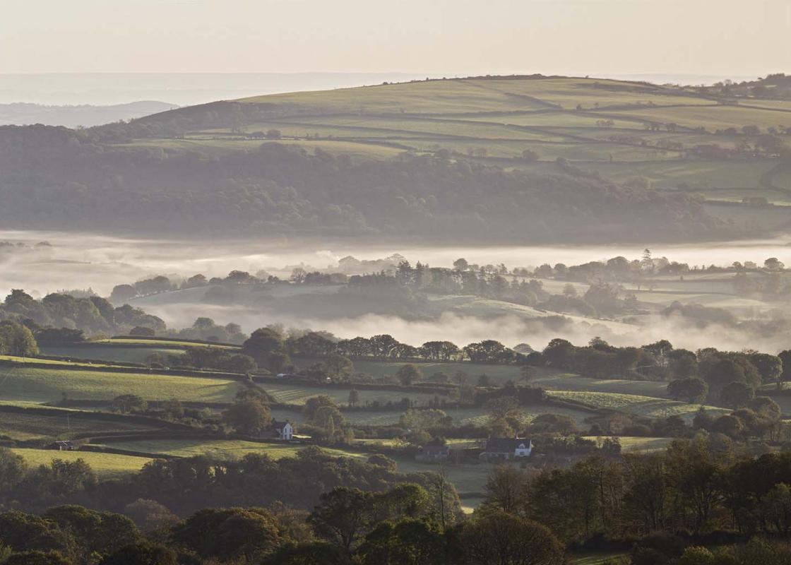
The ancient town of Chagford, situated on the northeast edge of the moor above the River Teign and in the shadow of Meldon and Nattadon commons, is justifiably one of Dartmoor’s most attractive – and hence most visited – spots. A varied history As early as the 12th century Chagford developed as a... market centre for the surrounding moorland, and in 1305 its importance was verified when it became one of Dartmoor’s stannary towns. ‘Stannary’ was the name given to centres of tin assaying and taxation, and Chagford was confirmed as such by Edward I – it remained an important centre until the mid-17th century (Dartmoor’s other stannary towns were Asburton, Plympton and Tavistock). As tin returns declined, wool grew in economic importance locally, and Chagford mills spun yarns for the prosperous towns of East Devon – you'll pass two on this walk. In late Victorian times the town developed as a moorland holiday resort, with visitors arriving by horse-drawn coaches from the railway at Moretonhampstead. The town’s links with the tin industry are remembered today by the Tinners’ Fair, held each May, and by one of the roof bosses in the church which shows the’ tinners’ rabbits’ – a well-known local symbol showing three rabbits in a circle, said to represent the many warrens that were developed on the moor to rear rabbits as food for the mining community. Recent research has revealed the existence of this symbol across the world, and on the Silk Route as far as China.
Devon sums up all that is best about the British landscape, with its magnificent coastlines, two historic cities, the world-famous Dartmoor National Park and south Devon’s glorious English Riviera. A fashionable and much-loved holiday destination, hiking and cycling in the National Parks is extremely popular among visitors, with a great choice of off-road routes.
"A popular stroll through one of Dartmoor’s prettiest towns and along the banks of the Teign."
Walk details
1hr 15min
Difficulty:
Easy
Gradient:
Gentle
Distance:
2.25 miles (3.6kms)
Ascent:
98ft (30m)
Walk directions
The walk starts from the west end of the 15th-century Church of St Michael and All Angels, underneath the clock, at the junction of four paths. With your back to the church, bear half right and cross the graveyard, noting The Globe Inn and early 16th-century Three Crowns on the left. Pass through a gate onto the High Street.
1 of 8
Turn right and walk through The Square. The Pepperpot (an octagonal market house) dates from 1862, and was built by George Hayter-Hames, a local benefactor who sponsored various town improvements.
2 of 8
Pass Webbers and then Bowdens stores – extraordinary emporia crammed with every household item you can imagine (well worth an exploration after your walk). Webbers began life in 1898, while Bowdens began in 1862 as the Vulcan Ironworks. Head down Mill Street. Meet a fork in the lane and keep right. The lane descends more steeply through a cutting to meet a junction at Factory Cross.
3 of 8
Bear right. Cross the Teign via Chagford Bridge, dating from before 1224.
4 of 8
Once over the bridge turn right through a gate on the route of the Two Moors Way/Devon Coast to Coast. Go through a kissing gate and pass huge oaks protected by granite collars. Go through a gate and continue through rough grass and bracken, alongside the river – note the converted mill opposite. A succession of fields and gates follows, to reach the weir.
5 of 8
At this point the path swings away from the river and follows a leat that feeds Rushford Mill, and also supplies Chagford’s open-air swimming pool (which celebrated its 80th birthday in 2014). Pass through gates and fields to a footpath junction, and keep ahead again to cross the leat. Keep ahead across the field, with a hedge to your right. Pass through the hedge, and bear half left across the next field to reach the lane by Rushford Bridge.
6 of 8
Turn right across the river and follow the lane, which climbs steadily to a T-junction at Crossways.
7 of 8
Turn right and follow the road back into town, past attractive houses and cottages. Where you see The Old Forge on the left, bear left. Turn left again before Blacks Delicatessen into the churchyard, and then keep ahead to return to the start.
The ancient town of Chagford, situated on the northeast edge of the moor above the River Teign and in the shadow of Meldon and Nattadon commons, is justifiably one of Dartmoor’s most attractive – and hence most visited – spots. A varied history As early as the 12th century Chagford developed as a... market centre for the surrounding moorland, and in 1305 its importance was verified when it became one of Dartmoor’s stannary towns. ‘Stannary’ was the name given to centres of tin assaying and taxation, and Chagford was confirmed as such by Edward I – it remained an important centre until the mid-17th century (Dartmoor’s other stannary towns were Asburton, Plympton and Tavistock). As tin returns declined, wool grew in economic importance locally, and Chagford mills spun yarns for the prosperous towns of East Devon – you'll pass two on this walk. In late Victorian times the town developed as a moorland holiday resort, with visitors arriving by horse-drawn coaches from the railway at Moretonhampstead. The town’s links with the tin industry are remembered today by the Tinners’ Fair, held each May, and by one of the roof bosses in the church which shows the’ tinners’ rabbits’ – a well-known local symbol showing three rabbits in a circle, said to represent the many warrens that were developed on the moor to rear rabbits as food for the mining community. Recent research has revealed the existence of this symbol across the world, and on the Silk Route as far as China.
Devon sums up all that is best about the British landscape, with its magnificent coastlines, two historic cities, the world-famous Dartmoor National Park and south Devon’s glorious English Riviera. A fashionable and much-loved holiday destination, hiking and cycling in the National Parks is extremely popular among visitors, with a great choice of off-road routes.