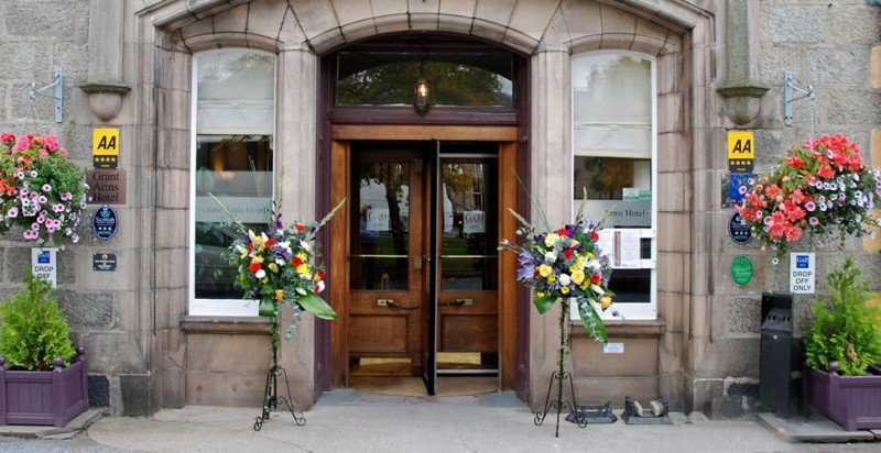
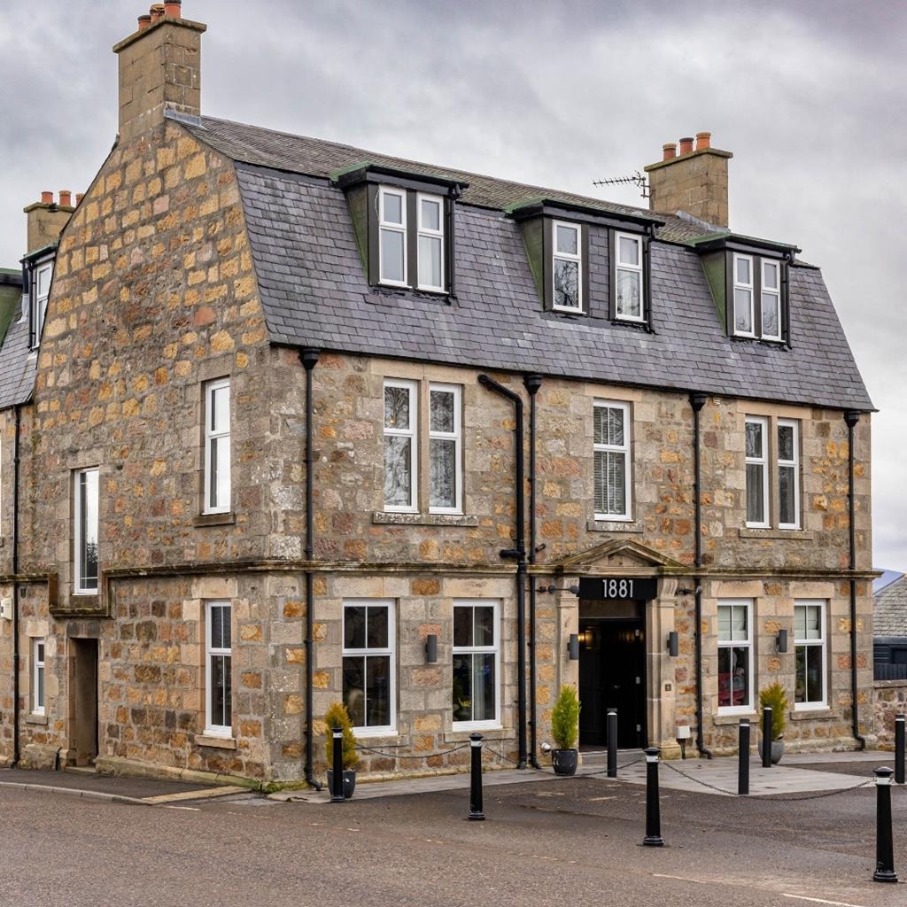
Hotel 1881
Hotel 1881 is a small boutique-style property located in the heart of Archiestown near Aberlour…

A walk through a green valley and bare heather moor in the smugglers' country of Glenlivet.
Glenlivet
6.25 miles (10.1kms)
Long before the coming of licensed distilleries, whisky was part of the economy of the Highlands. After the hard work of the barley harvest came the quieter occupation of mashing and distilling. The draff (dregs) from the mash-barrel went to feed the cows, while the spirit itself warmed the crofter through the snows of winter.
As rents came to be paid in money rather than in kind, whisky was an easily transported product for cash. It was also convenient to tax, but this simply meant that the Highlanders moved their operation into the hills. The barley fields of Strathspey, the clear mountain water of the Cairngorms and the convenient smuggling routes to Aberdeen and Inverness made Glenlivet a famous whisky region. Even as his redcoats were hunting the smugglers through the Ladder Hills, King George IV was demanding the illicit Glenlivet by name.
The old word 'Scotch' is only applied to whisky – the people are 'Scottish' and the language is 'Scots'. And whiskey with an 'e' comes from Ireland or the United States. Barley is the start-point. The grain is allowed to germinate in the warm, damp environment of the malting floor, which converts some of its starch to sugar. The malt is heated, under the pagoda-like copper roof of the malting kiln, then boiled and fermented into the 'mash', a kind of sweet insipid beer. The mash is passed three times through the onionshaped copper stills and stored in barrels for at least eight years. That's the technical process; the added mystery happens almost by accident. The killing of the malt, traditionally done over a peat fire, adds a smoky aroma, but it's the second-hand sherry barrels used for storage that add the golden colour, much of the flavour and the bite of the oakwood.
Blended whiskies, such as Bells, Teachers and Famous Grouse, are made of cheaper corn spirit with malt whisky mixed in. More serious are the 'single malts', each a product of a named distillery. From Glenlivet comes the Glenlivet itself, and also Tomnavoulin, Tomintoul, Cragganmore and Glenfarclas. These are Speyside malts – smooth and subtle. From the islands of the west come wilder whiskies like Lagavoulin and Talisker, with overtones of peat, seaweed and even old fish crates. An educational tasting session could start in the hotels and whisky shops of Tomintoul.
At Tombae church, turn left to walk for 330yds (302m) to a stile on the right – marked 'Bochel Circuit'. A track leads down into birchwoods. Bear right at a waymarker and follow the main track to reach a bridge and cross over the River Livet. After 60yds (55m), turn right to another bridge, this time over the Crombie Water. Turn half left, up to a small gate beside a field gate. The walk now follows the top of the low wooded bank above the Crombie Water to reach a footbridge.
Across the footbridge, a small path runs across a meadow into a wood, slanting up to the right to a green track. Turn right and follow this gently up through the wood, then bend left on to heather moorland. Below the abrupt hill of The Bochel the way becomes a peaty path. Keep ahead, with a waymarker and some old posts. At the top of the first rise is a stile with a gate alongside. The path, with a waymarker, leads to a gate in another fence. Don't go through, but turn right, with the fence on your left, to a stile with a signpost.
For an easier alternative, follow the sign for Walk 10, ahead. Just before a house, turn right at a waymarker post and follow a track, with a fence on its left, towards Bochel farm. But the main route goes over The Bochel itself. Across the stile, turn uphill on a small sheep path to the summit cairn. Turn left (southeast) to descend towards the white Braeval distillery below the Ladder Hills. As the slope steepens, you'll see the roofs of Bochel farm below. Head down the left-hand edge of the nearer pine wood to join the rough track leading towards the farm.
At once a gate on the right leads to a faint path into the plantation. This soon becomes an earth track running just above the bottom edge of the wood. It becomes more well-used and then runs out to a road.
Turn right, over a bridge to a waymarked gate on the right. A track rises to open fields above the river. At its highest point, a waymarker points down to the right. Go down to a fence, with a waymarked stile on the left, then through heather with a fence on your left. At the fence corner, turn downhill to a stile at the valley floor. Cross this and turn left, ignoring a broken stile on the left, to reach the footbridge, Point 2. Retrace the first part of the walk back to Tombae.
Waymarked, muddy and indistinct in places, many stiles
Birchwoods, heather, rolling hills
Keep on lead except in plantation
OS Explorer 420 Correen Hills & Glenlivet
Track opposite church at Tombae runs up to quarry car park
None on route or near by
<p>Grouse shooting August/September – consult Glenlivet Ranger service at Tomintoul</p>
Read our tips to look after yourself and the environment when following this walk.
The largely undiscovered Moray coast offers miles of red sandstone cliffs that spill down to fine sandy beaches split by dramatic rocky headlands, and a chain of small towns, sleepy villages and fishing ports. The gentle breezes and warm sunshine of lazy summer days give the place a restful, relaxing air, and the evenings are a magical time too, with this part of Scotland renowned for its superb sunsets.
Elgin, the commercial and administrative centre for Moray for over eight centuries, stands on a meandering loop of the River Lossie in a richly fertile agricultural district known as the Garden of Moray. Although the townscape has been reworked and rebuilt over the years, it retains a medieval street plan with narrow alleyways leading off the broad main street, a cobbled market place, and some fine old 18th and 19th century buildings. Elgin has long been a favoured tourist centre for exploring the north-west corner of Grampian and offers a host of attractions.
Discover more than 15,000 professionally rated places to stay, eat and visit from across the UK and Ireland.
Choose a place to stay safe in the knowledge that it has been expertly assessed by trained assessors.
Search by location or the type of place you're visiting to find your next ideal holiday experience.
Read our articles, city guides and recommended things to do for inspiration. We're here to help you explore the UK.