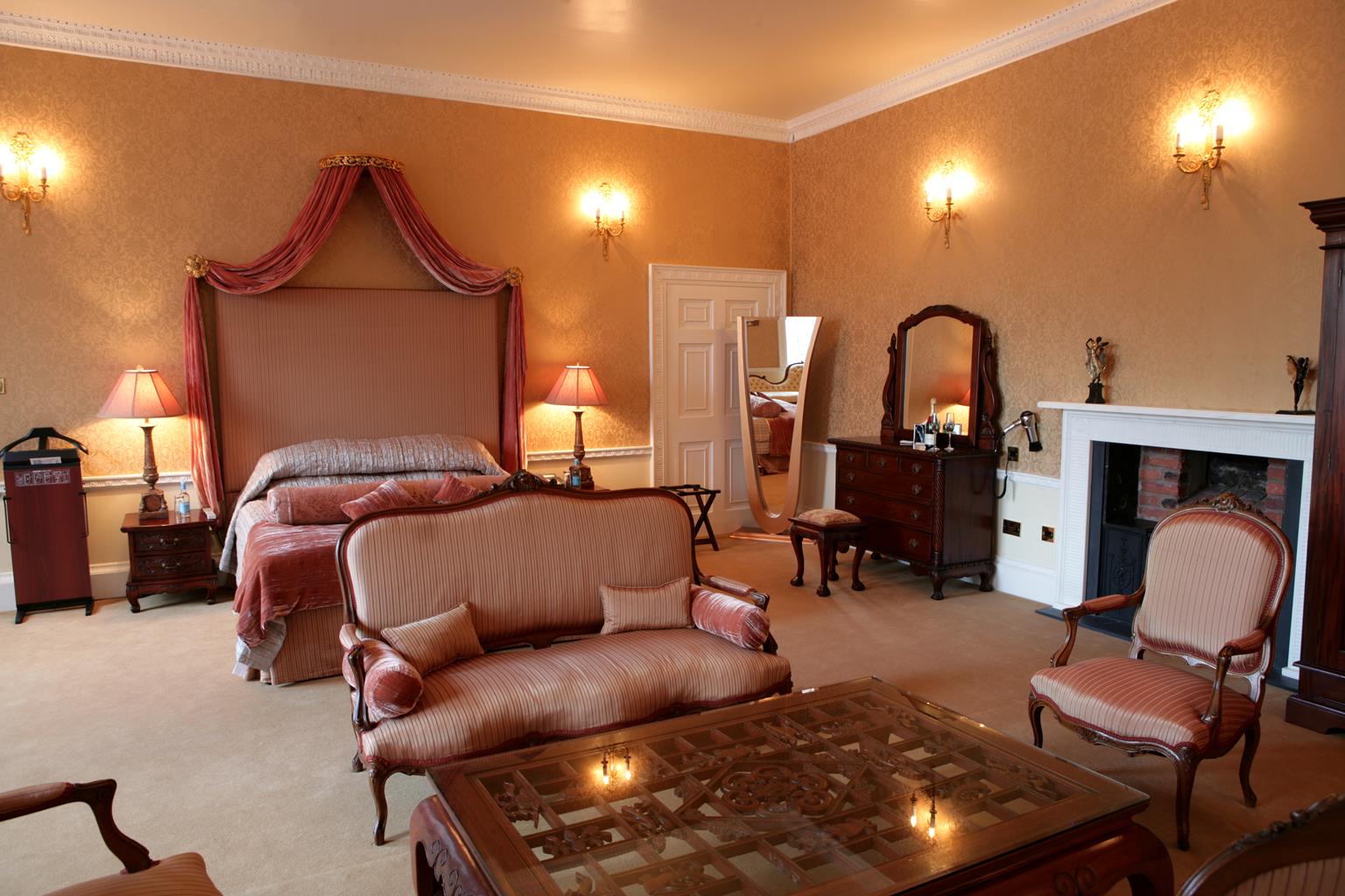
This late 18th century cottage is situated in the pleasant village of Lambley. Modernised to a…
Deep in the Dumbles

The hidden dells of Lambley's Dumbles make Nottingham seem far away.
6.75 miles (10.9kms)
About the walk
Dumble is a local term for a small wooded dell through which streams have carved out twisting and steep-sided gullies. The main one is simply called Lambley Dumble, and is visited at the end of this walk. From a distance the snaking line of trees and bushes looks like a narrow copse or old field boundary, but often they disguise deep channels filled with gurgling brooks. Lambley is tucked away at the bottom of a small valley surrounded by a rolling patchwork quilt of fields and clumps of woodland. Lambley derives from 'Lambs' Lea' – an enclosure for the grazing of sheep – although much of the surrounding land is now given over to arable production.
Altogether the rural scene laid out before you is one of such total peace and tranquillity that it might come as a bit of a shock to discover that the bustling city of Nottingham is only 8 miles (12.9km) away.
Cowslip Sunday
Lambley was once well known in this part of Nottinghamshire because of its wild flowers, and to this day its symbol remains the cowslip. The first Sunday of May was traditionally known as Cowslip Sunday, when crowds would come to the dumbles around Lambley to gather cowslips for wine making. (Incidentally, did you know that many wild and garden flowers – including dandelion, elderflower, marigold, wallflower and rose petals – are still used in country wine making?) Over the years, the Cowslip Sunday gathering grew to become a huge annual event, often attracting thousands of people from the working-class areas of Nottingham. Stalls of food and drink were set up in the main street, and the festivities lasted all day.
Sadly, and rather inevitably, the cowslips themselves didn't last too long, for although the roots may not be disturbed the actual picking of the flowers prevents seeds ripening and scattering, and so the colony does not renew itself. Although they are now protected by law – it is illegal to pick them – the tubular yellow flowers of the cowslip are becoming scarcer still, since the demise of Cowslip Sunday in the mid-1900s was also a result of the increased ploughing of the old pasture where they used to thrive.
Hope springs eternal, as they say, and to the north of Lambley Dumble, just beyond the playing field, is an example of how the countryside can be changed for the better. With the help of the Woodland Trust, Bonney Doles was planted in a day by local people in December 1998. Apart from the new woods, a large area of traditional meadow has been retained, and it is hoped that, by careful annual mowing, cowslips and other wild flowers will be encouraged to recolonise the area.
Walk directions
From the school and village hall, walk down Main Street into the centre of the village. In 220yds (210m) go right for a public footpath opposite Chapel Lane and around the edge of a fenced field. Turn left at the end and go over successive stiles (at the second take the left-hand choice of two) for a path behind houses. Turn left at the end to drop down, cross the road, and enter Reed Pond Nature Reserve.
Veer left to reach the gate in the far left corner. Turn right and out along the bottom of several large fields, cutting across the lower part of the second. Continue around a house and the edge of a copse and when you reach a large sloping field ahead of you, turn left.
Follow the wide track uphill to the left of the hedge. In the far corner of the second field, with a grassy airstrip along its middle, turn left (not the footpath straight on) and walk along the field-edge.
Just before it ends go right and, following the direction of the footpath post (not the bridleway), aim half left across the next field then bear left across pasture. Drop down the hillside, aiming for the road in the far bottom left corner.
Turn right and walk along the roadside verge past Woodbarn Farm to the sharp right-hand bend. Go left across the top of successive fields to reach the wooded track on the far side. Turn left here and at a junction go left again for a wide track which leads all the way back to Lingwood Lane.
Turn right, cross a field (aiming half left), then follow the waymarkers down through three fields into the woodland at the bottom. Go straight on via a footbridge, left into a field on the far side, then almost immediately right and walk up through a field to the top. Climb the steps and turn left on to the road for 100yds (91m), then go right beside a bungalow to drop down diagonally right across ridged fields to the football pitch.
At the far corner join a path past Bonney Doles wood. Go over a footbridge, turn left, and follow the field-edge to cross a footbridge near but not in the corner. Turn right and go diagonally left across two fields to the top of the hill.
Turn left on to a hedged track. Continue on this past some buildings then out along open field edges, following the right-hand side of the final one down to a metal gate on the far side. Cross the road for the footpath opposite, behind houses, and just before a gate turn left to rejoin the outward route back to the start.
Additional information
Undulating field paths and bridleways, many stiles
Rolling farmland, pockets of woodland and villages
Good on enclosed tracks, but on lead in livestock fields
OS Explorer 260 Nottingham
Recreation ground car park behind school/village hall at Catfoot Lane
None on route
WALKING IN SAFETY
Read our tips to look after yourself and the environment when following this walk.
Find out more
Also in the area
About the area
Discover Nottinghamshire
Most people associate Nottinghamshire in the East Midlands with the legend of Robin Hood, though the former royal hunting ground of Sherwood Forest has been somewhat tamed since Robin’s outlaw days. Traditionally, the county’s primary industry, alongside agriculture, was coal mining but it is also an oil producing area, and during World War II produced the only oil out of reach of the German U-Boats.
The county is divided between the old coalfields north of the city of Nottingham, the commuter belt of the Wolds to the south, Sherwood Forest and the great country estates known as the ‘Dukeries’. Towns of note are the river port and market town of Newark, which hosts major antiques fairs six times a year, and Southwell, known for the medieval minster with exquisite carvings of Sherwood Forest.
D H Lawrence was a Nottinghamshire man, born in Eastwood, the son of a miner and former schoolteacher. He grew up in poverty, and his book Sons and Lovers reflects the experiences of his early years. Other Nottinghamshire notables include Thomas Cranmer, the first Protestant Archbishop; Jesse Boot, founder of the Boots pharmaceutical company; Henry Ireton, the man who singed Charles I’s death warrant; and Olympic skaters Torvill and Dean.
Nearby stays
Restaurants and Pubs
Nearby experiences
Recommended things to do
Why choose Rated Trips?
Your trusted guide to rated places across the UK
The best coverage
Discover more than 15,000 professionally rated places to stay, eat and visit from across the UK and Ireland.
Quality assured
Choose a place to stay safe in the knowledge that it has been expertly assessed by trained assessors.
Plan your next trip
Search by location or the type of place you're visiting to find your next ideal holiday experience.
Travel inspiration
Read our articles, city guides and recommended things to do for inspiration. We're here to help you explore the UK.


