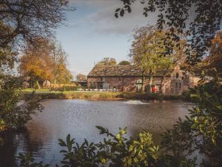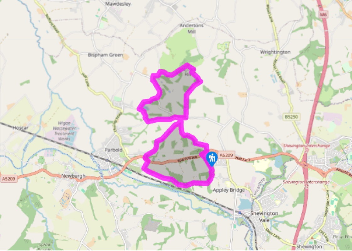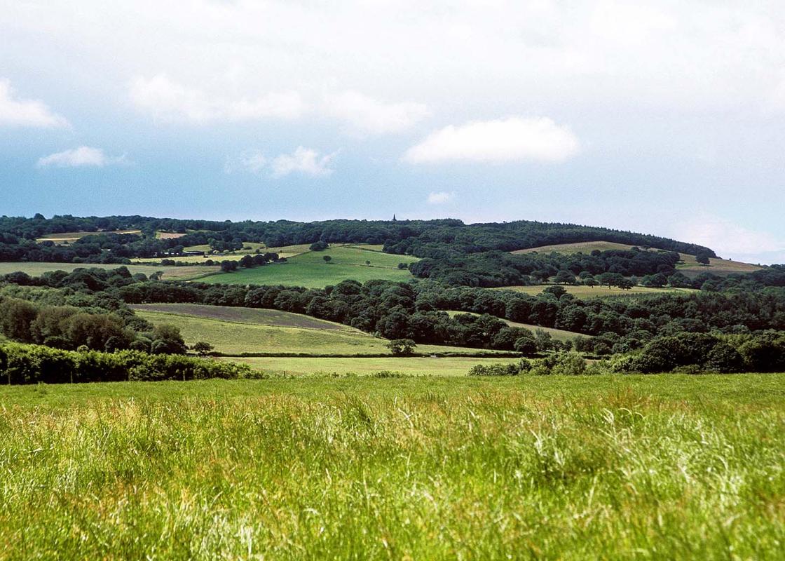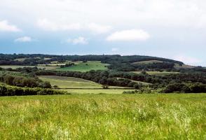
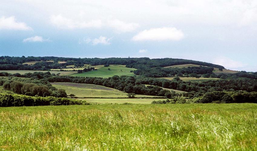
Douglas Valley delights
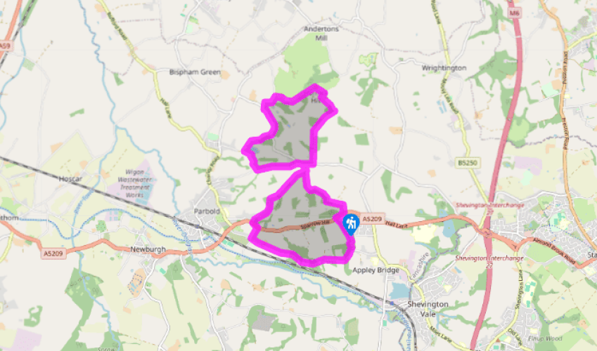
Leave the eastern end of the lay-by along a field-edge track. At the top corner, turn left beside the wall towards trees. Wind with Sprodley Brook to continue at the perimeter of the wood. Where the path later crosses the stream, head away, passing left of a field-pond. Bear right along a track to meet a lane.
You can short-cut the walk by going left. Otherwise keep ahead to High Moor Lane. Turn right, but immediately past High Moor Restaurant, leave left along a drive. After 600yds (549m), at a bend, bear right through a gate along a contained path. Reaching a junction by a wood, walk left, continuing beyond at the field-edge. Carry on past another wood, swinging right around its corner. Turn left in the next corner to a gate/stile onto the wooded heath crowning Harrock Hill. Bear left to find the windmill.

Been on this walk?
Send us photos or a comment about this route. Or recommend a route of your own.

Walking in Safety
Read our tips to look after yourself and the environment when following this walk.

Get an AA guide
Explore our range of ‘50 Walks in’ guides - they’re the ideal companion for a ramble.
Been on this walk?
Send us photos or a comment about this route. Or recommend a route of your own.
Walking in Safety
Read our tips to look after yourself and the environment when following this walk.
Get an AA guide
Explore our range of ‘50 Walks in’ guides - they’re the ideal companion for a ramble.

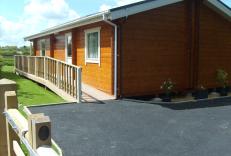
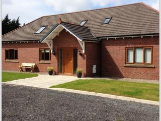
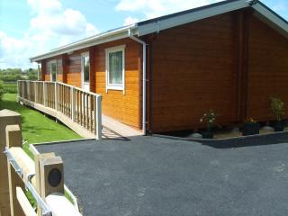
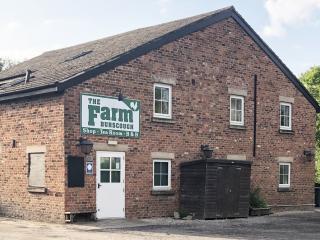
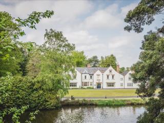
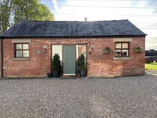
Nearby places to stay
View all (8)

- Washing machine
- Sky or freeview
- En suite
- Linens provided