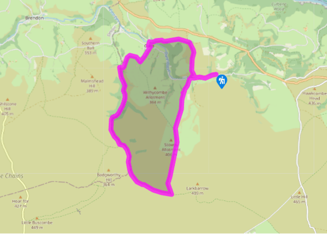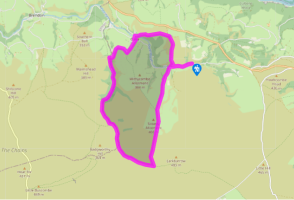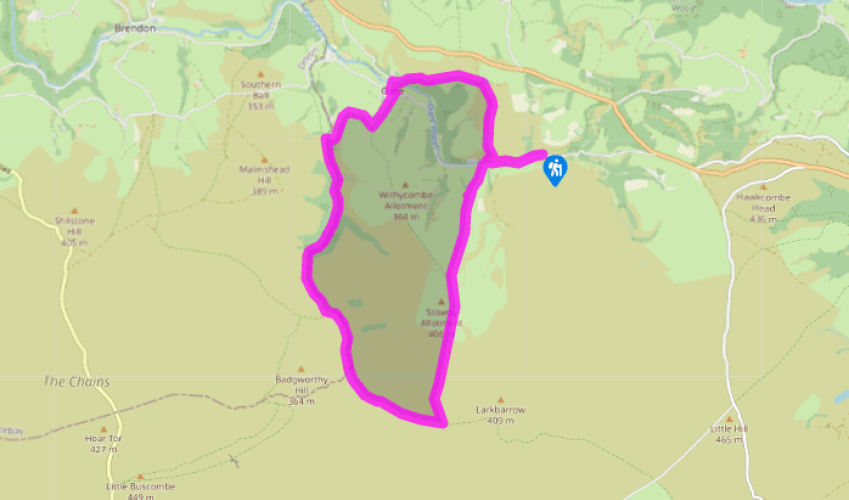
Down the Doone Valley
Cross Robber's Bridge and follow the road to Oareford. Turn left up the bridleway track signed 'Larkbarrow'. After a mile (1.6km), the now faint track runs straight up across two grassy fields to a signposted gate where a bridleway from Oare church joins the route. Keep ahead up this third field over its rounded crest, and bear slightly left to a gate at its back left corner.
Go through a gate on the left, and then a narrow gate on the right to rougher moorland. Take a faint path ahead for 140yds (128m). Here bear slightly right on a smaller path to go through a shallow col or gap. Now a wider path arrives from the right. Bear left on it to large and small wooden gates.

Been on this walk?
Send us photos or a comment about this route. Or recommend a route of your own.

Walking in Safety
Read our tips to look after yourself and the environment when following this walk.

Get an AA guide
Explore our range of ‘50 Walks in’ guides - they’re the ideal companion for a ramble.
Been on this walk?
Send us photos or a comment about this route. Or recommend a route of your own.
Walking in Safety
Read our tips to look after yourself and the environment when following this walk.
Get an AA guide
Explore our range of ‘50 Walks in’ guides - they’re the ideal companion for a ramble.

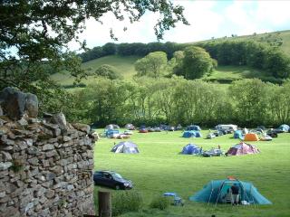
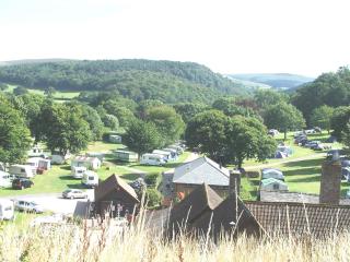
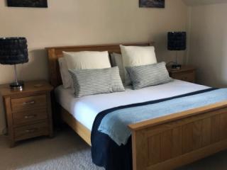
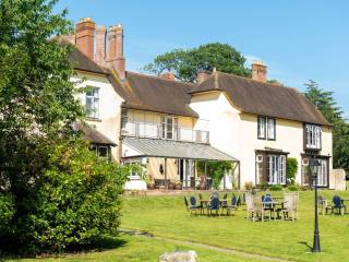
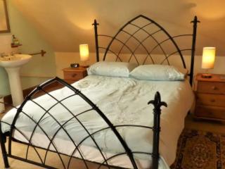
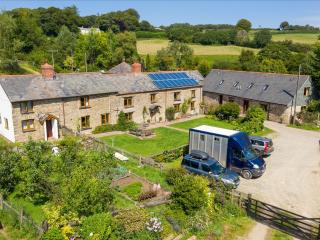
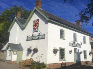
Nearby places to stay
View all (8)

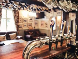
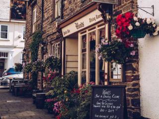
- Launderette
- Ice pack facility
- BBQ
- Shop onsite