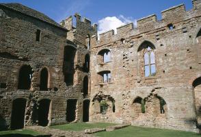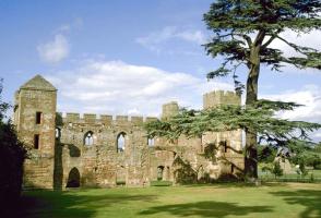
Elizabethan Wilderhope
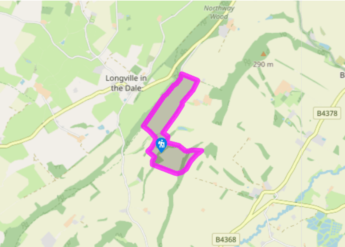
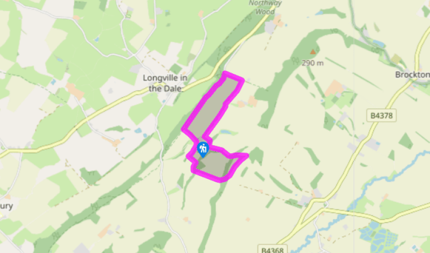
Go through a gate next to an old pump at the top of the car park. Go up a field to the top corner, then follow a hedge uphill to the crest of Wenlock Edge. Turn right at the top along the outer edge of Longville Coppice for about 50yds (46m). Turn left over a stile (National Trust signs for Longville Coppice Walk) and go down a stony path (slippery when wet). This soon bears right and climbs gently. Ignore a crossing path and continue along this undulating track, carved across the steep scarp slope.
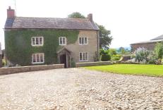
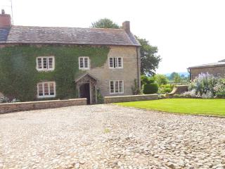
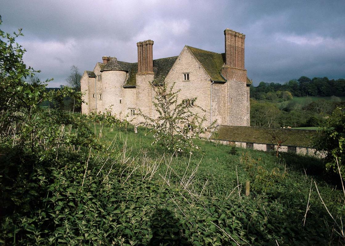
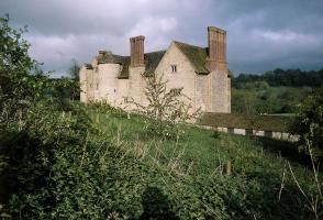
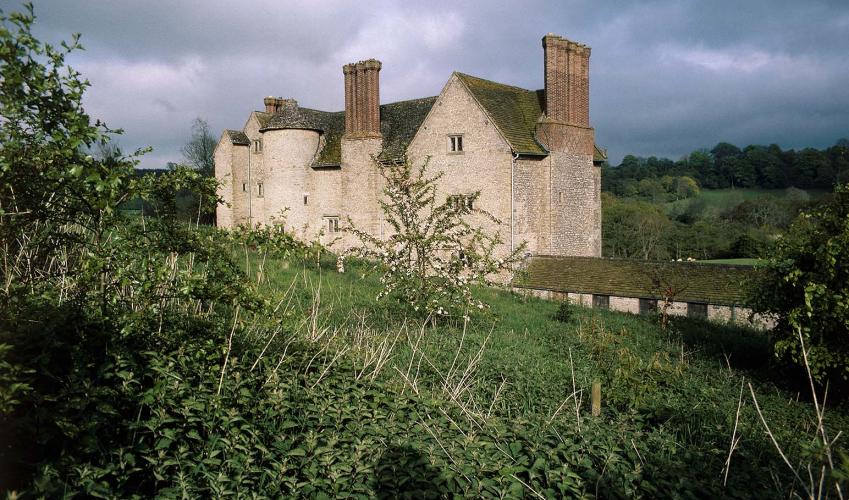
Go past a barrier at the far end of the coppice on to a sunken track, Pilgrims Lane. Climb this steeply to a junction and turn right on a lane. At the end of the tarmac, shortly before you reach Pilgrim Cottage, turn right on an obvious stony track. Pass the entrance to The Fegg Farm and a small caravan site. Ignore a stile on the left, where a path runs down towards a lake, and continue along the track with the tall chimneys of Wilderhope Manor appearing ahead.

Been on this walk?
Send us photos or a comment about this route. Or recommend a route of your own.

Walking in Safety
Read our tips to look after yourself and the environment when following this walk.

Get an AA guide
Explore our range of ‘50 Walks in’ guides - they’re the ideal companion for a ramble.
Been on this walk?
Send us photos or a comment about this route. Or recommend a route of your own.
Walking in Safety
Read our tips to look after yourself and the environment when following this walk.
Get an AA guide
Explore our range of ‘50 Walks in’ guides - they’re the ideal companion for a ramble.
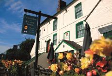
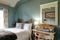
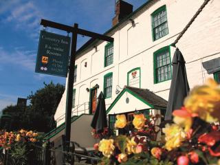
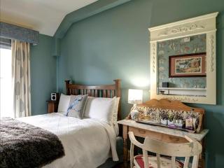
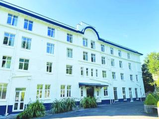
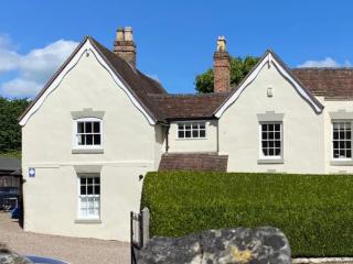
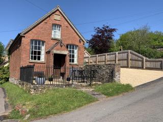
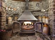
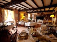
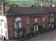
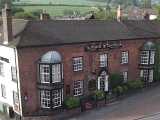
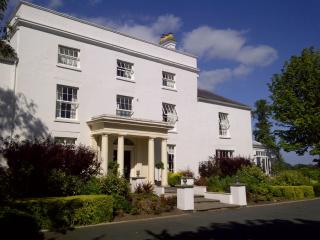
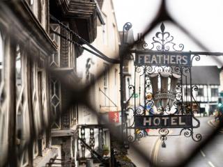
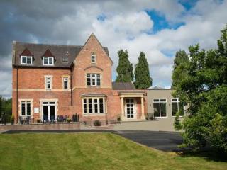
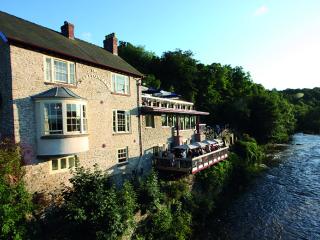
Nearby places to stay
View all (8)