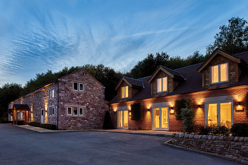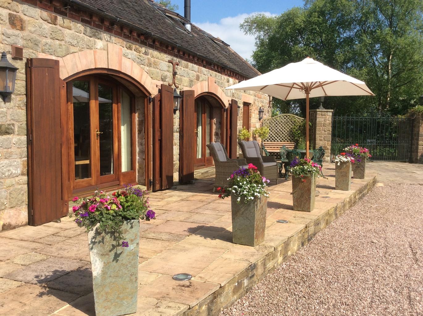

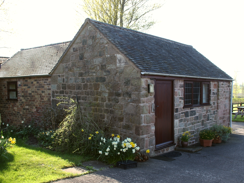
Cordwainer Cottage
You get the best of both worlds in the location of this stone built single storey self catering…

A short, pleasant walk exploring a Staffordshire village with an ancient and colourful tradition.
Endon
3.5 miles (5.7kms)
The name Endon means 'place where lambs are reared', but today the village is best known, not for its mutton, but for its water. The area around Endon, and in fact most of Derbyshire and northern Staffordshire, features an abundance of natural springs. These springs owe their existence to the local geology. The primarily limestone landscape of the Staffordshire moorlands and the rest of the Peak District is intermittently overlaid by a layer of gritstone. As the latter is a non-porous rock, when the water table rises higher than the limestone, water is forced out at the points on the surface where the two rock layers meet. This constant supply of fresh water was doubtless what prompted ancient peoples to settle in the area.
These early settlers began blessing this water supply by adorning local wells with flowers, a ritual known today as well dressing. Its origins are shrouded in mystery: many sources attribute the practice to the period of the Black Death (1348–49) when it's thought that a third of the country's population died of the virus. Some villages remained untouched and, probably quite rightly, attributed this to the clean water supply drawn from their wells. (The plague was borne by rats and their fleas, so dirty water and poor sanitation contributed to the spread of the disease.) However, it's possible that the custom goes back further, perhaps to Celtic times, and the fact that many well dressings have a 'well queen' suggests echoes of ancient fertility rites and rituals.
Today, well dressing is an annual tradition unique to the central and southern Peak, with a succession of villages dressing their wells between the end of May and early September. Endon's ceremony, which was revived in 1845, traditionally takes place on the Spring Bank Holiday, when two wells are dressed in an elaborate ceremony.
The well dressing itself is usually as intricate as it is elaborate. It is achieved by making a picture, often of a religious theme, out of flowers and petals. The picture is created within a wooden frame filled with soft, wet clay. An outline of the drawing is made using bark, twigs and berries before the spaces are filled in with coloured petals. The picture is made from the bottom upwards so that the petals overlap and rainwater drains off. The finished image is often so ornate it really has to be seen to be believed. Because of the nature of the materials, dressings have to be made in the two or three days just before the ceremony, and they usually only last a week or so. In addition, a well dressing queen is crowned and, on the Bank Holiday Monday, a fair is held in the village, complete with parade, morris dancing and a tossing the sheaf competition.
From St Luke's Church follow the lane uphill. At the top go right, through the gate for Endon Bank Farm, and after a second gate join a wide track ahead/left. Follow the track round to the left and, 50yds (46m) after a barn on the right, go through a slot in the wall. Cut off the corner of the field to reach a stile, and maintain this direction to reach a double stile on the far side.
Continue in the same direction, keeping a hedge just to your left. Cross the stile at the far side of the field and proceed to another old stile straight ahead. Keep straight on uphill until you reach a well-hidden slot in the top left corner of the wall. Continue up the slope, this time with the hedge to your right.
At the top right corner of this field, go straight across the stile and continue along the rough track to a road. Go straight over and across three stiles, following a hedge on the left. Cross yet more stiles, aiming for the far left corner of the field by Wood Bluestone Cottage.
Turn left down the road and, at the junction with the B5051, go right, then first left along a signed footpath, over a residential road and up a wide, fenced track. Stay on this as it curves left to the top of the hill and then continues down and along the edge of Tinster Wood. As soon as the track enters the wood proper, head sharp left down a narrow path, somewhat indistinct in places, following it to the bottom left-hand corner.
Go through a slot in the wall to your left. Continue straight across a field, keeping the wall to your right, through a pair of wall slots. Cross the small footbridge beneath a tree before crossing a field. At a kissing gate go left up a walled track and left along the road. After 100yds (91m) go right, following the footpath sign beside woodland.
At the bottom of this field go through a gate to a surfaced road, following it round to the left. When you reach a proper residential road, go hard left along a rougher track to a surfaced road. Head right and, shortly after, turn left along the A53. Just before you get to The Plough on the left, head left up the road signed to St Luke's Church.
Easy meadow paths and some roads, many stiles
Hillside meadow, forest and farmland
Must be kept on lead at all times
OS Explorer 258 Stoke-on-Trent
St Luke's Church car park (Saturdays only) otherwise roadside
None on route
Read our tips to look after yourself and the environment when following this walk.
It was Staffordshire that bore the brunt of the largest non-nuclear explosion of World War II, when a munitions dump at RAF Fauld went up in 1944. It was also the county’s regiment that once boasted within its ranks the most decorated NCO of World War I, in the person of William Coltman (1891-1974). Going back a little further, George Handel penned his world-famous masterpiece The Messiah on Staffordshire soil. During another chapter of Staffordshire history, the county was home to the first canals and the first factory in Britain, and it had front-row seats for the drama surrounding one of the most notorious murder trials of the 19th century, that of Doctor William Palmer.
In outline, Staffordshire looks not unlike the profile of a man giving Leicestershire a big kiss. The man’s forehead is arguably the best region for hillwalking, as it comprises a significant chunk of the Peak District. This area is characterised by lofty moors, deep dales and tremendous views of both. Further south are the six sprawling towns that make up Stoke-on-Trent, which historically have had such an impact on Staffordshire’s fortunes, not to mention its culture and countryside. This is pottery country, formerly at the forefront of the Industrial Revolution and the driving force behind a network of canals that still criss-cross the county.
Discover more than 15,000 professionally rated places to stay, eat and visit from across the UK and Ireland.
Choose a place to stay safe in the knowledge that it has been expertly assessed by trained assessors.
Search by location or the type of place you're visiting to find your next ideal holiday experience.
Read our articles, city guides and recommended things to do for inspiration. We're here to help you explore the UK.