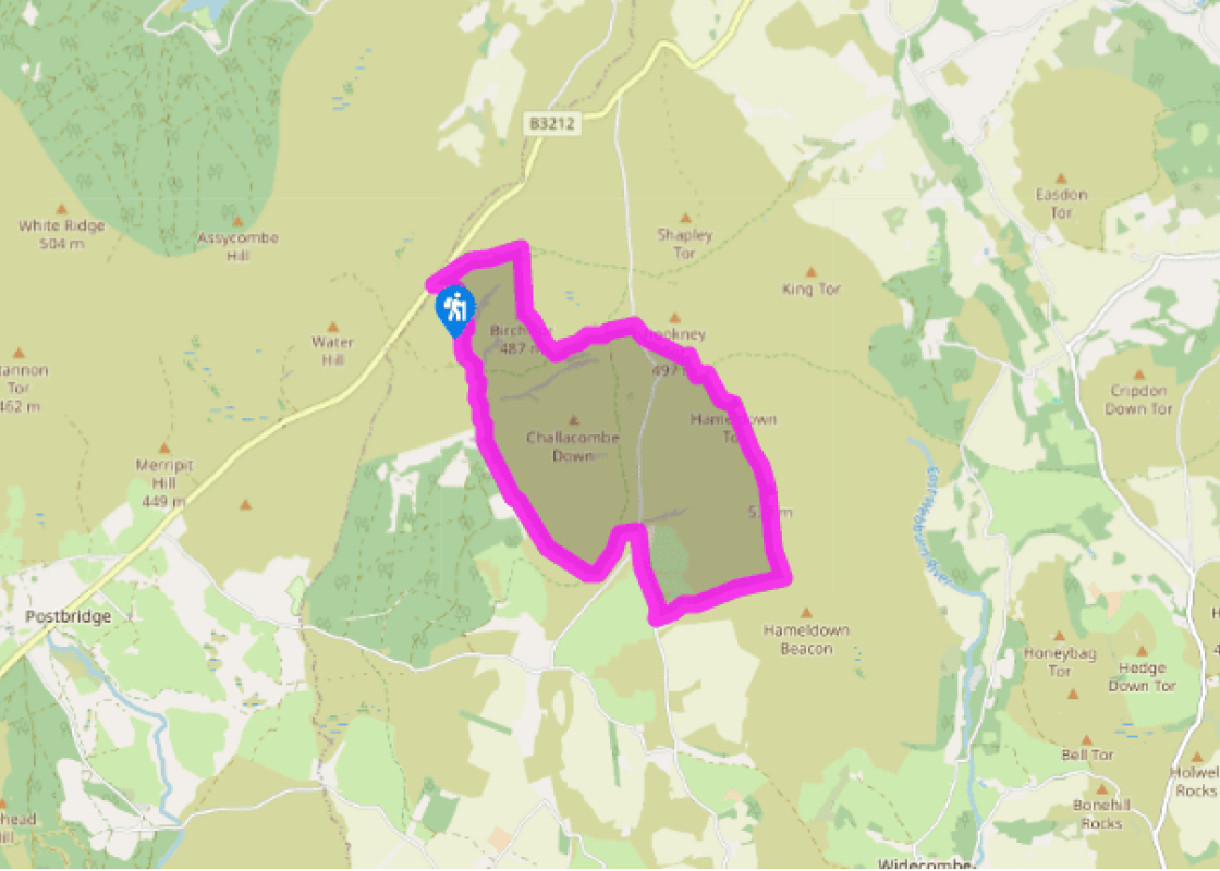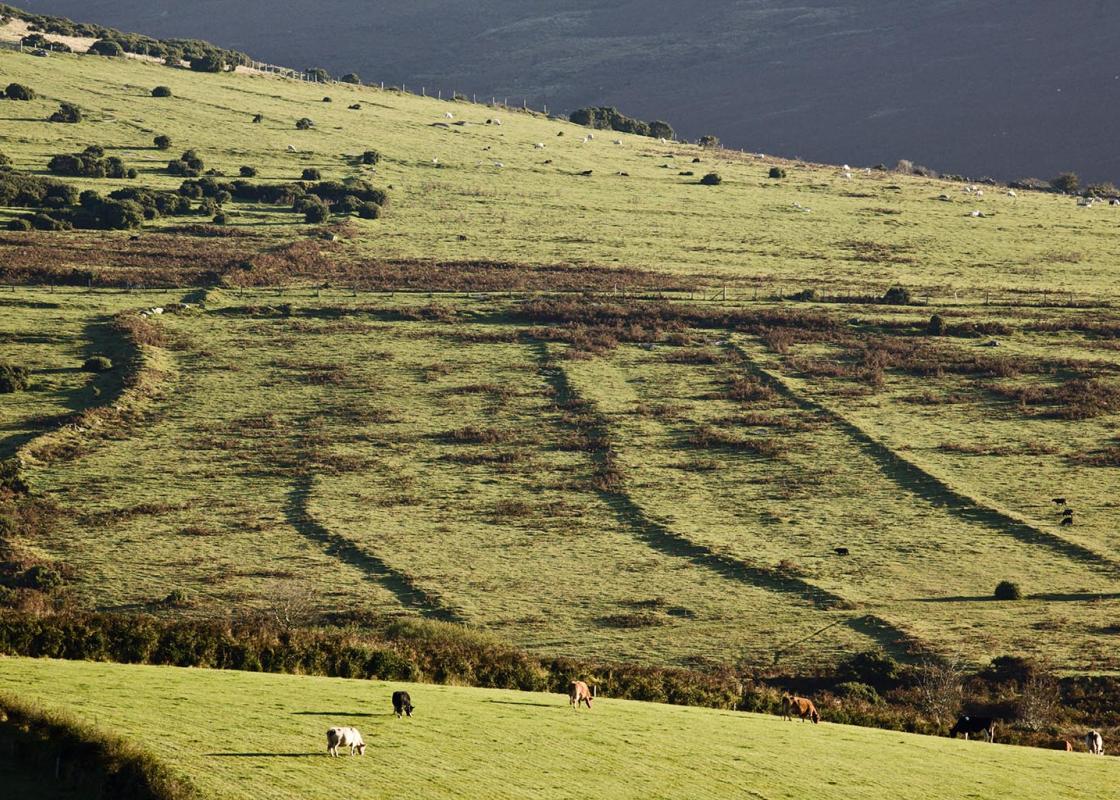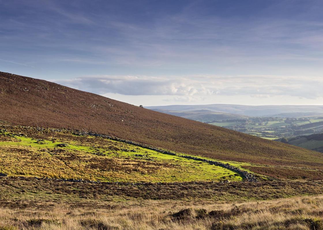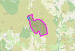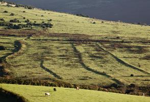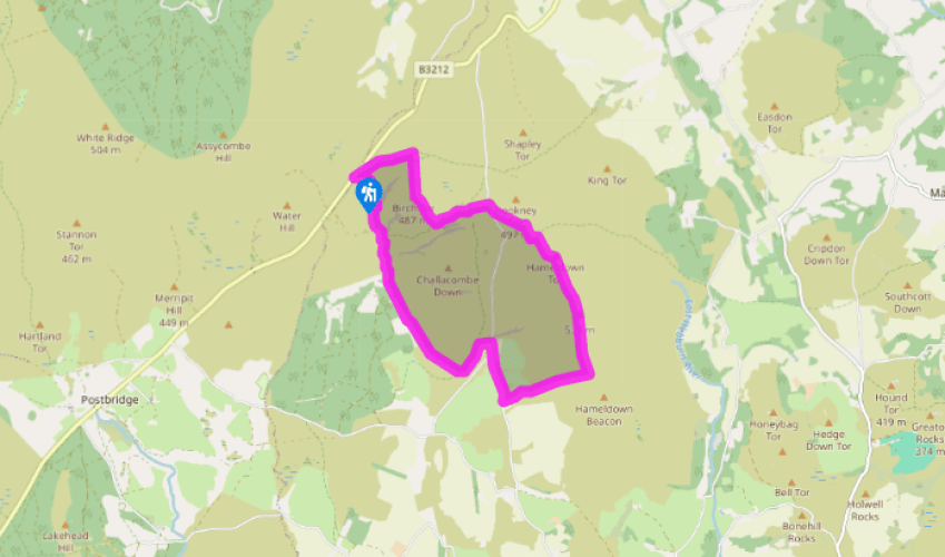
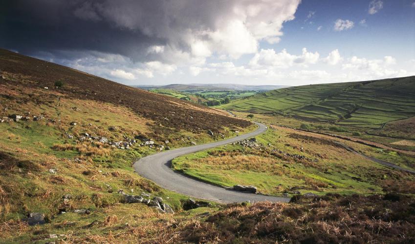
From Grimspound to the Golden Dagger tin mine
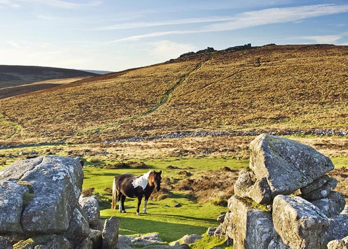
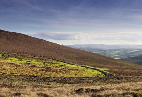
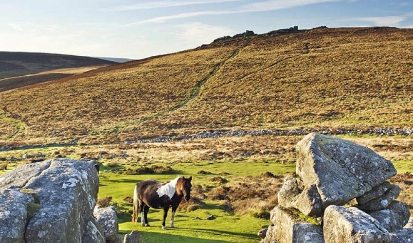
Walk to Bennett’s Cross; at the cross bear right on a narrow path which bears left uphill. At the hilltop turn right by a cairn and follow a narrow twisting path to reach Birch Tor.
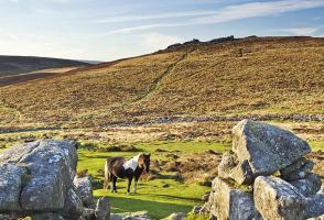
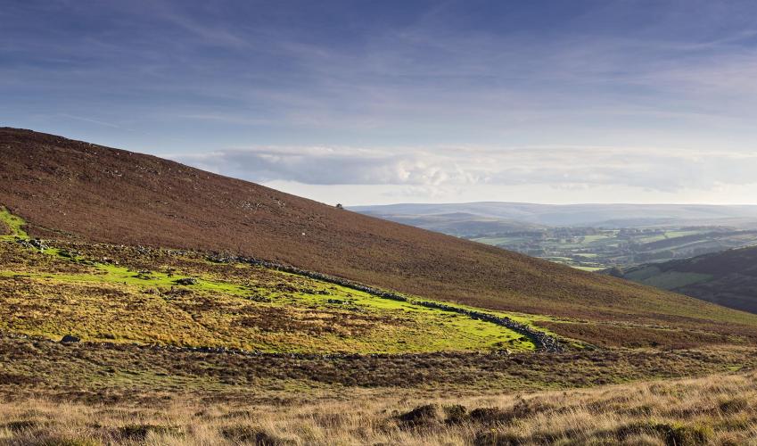
A small path leads from the furthest outcrop downhill to meet a stony path at a crossroads. Turn left towards Headland Warren Farm in the valley ahead. Follow a granite wall (right) to a signpost.

Been on this walk?
Send us photos or a comment about this route. Or recommend a route of your own.

Walking in Safety
Read our tips to look after yourself and the environment when following this walk.

Get an AA guide
Explore our range of ‘50 Walks in’ guides - they’re the ideal companion for a ramble.
Been on this walk?
Send us photos or a comment about this route. Or recommend a route of your own.
Walking in Safety
Read our tips to look after yourself and the environment when following this walk.
Get an AA guide
Explore our range of ‘50 Walks in’ guides - they’re the ideal companion for a ramble.
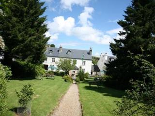
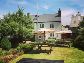
Nearby places to stay
View all (8)