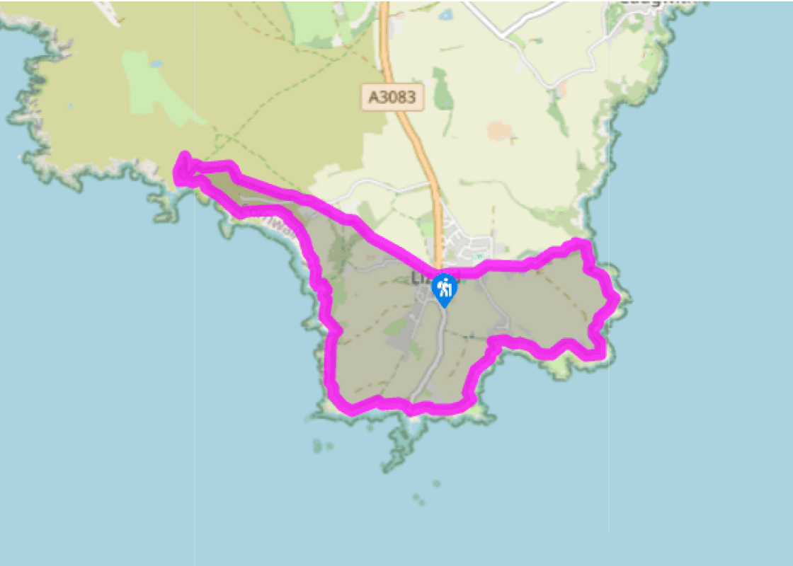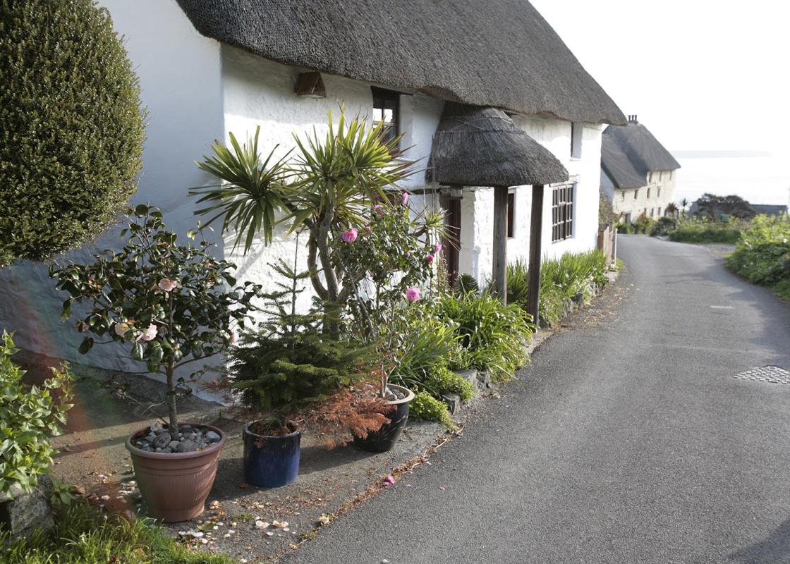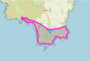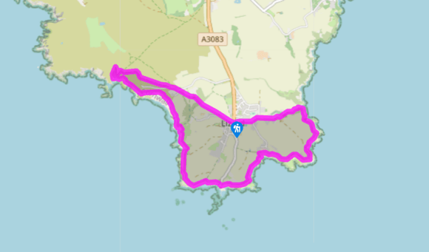
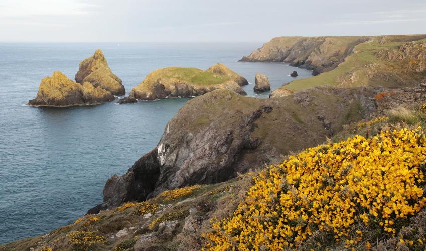
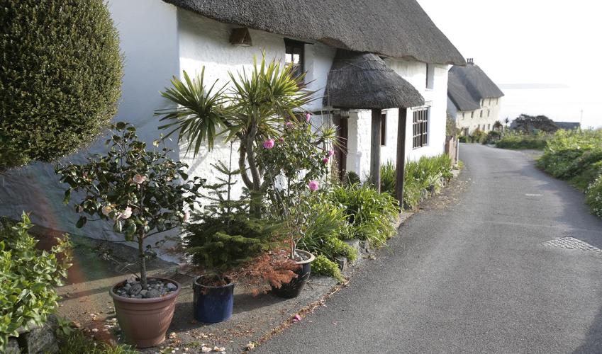
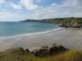
From Lizard Village to Lizard Point
Recommended by

"Spectacular sea cliff walk"
Walk directions
Turn right, when facing the public toilets at the bottom end of the car park, and go along a surfaced lane signed ‘To Caerthillian and Kynance Coves’. In 80yds (70m) bear right at a junction and go along a track, signed ‘Public Footpath Kynance Cove’. After 30yds (28m), at a public footpath sign, bear off left behind a chalet and go up some steps, then follow a path along the top of a broad stone wall (known as a ‘hedge’ in Cornwall).
Descend steps, keep right at a junction and then go through a privet grove. Negotiate two more sets of steps, then bear slightly right across a field. Go over a step stile to reach a road.
View all directions
Additional information
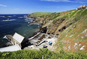
Terrain
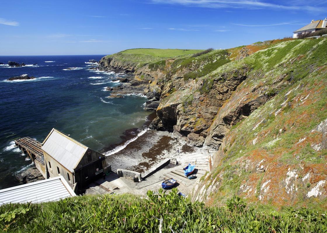
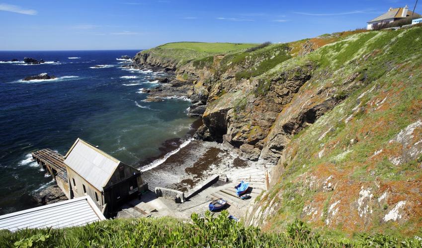
- Coastal footpaths, inland tracks and lanes - take note of path diversion notices at any erosion repair areas; several stiles
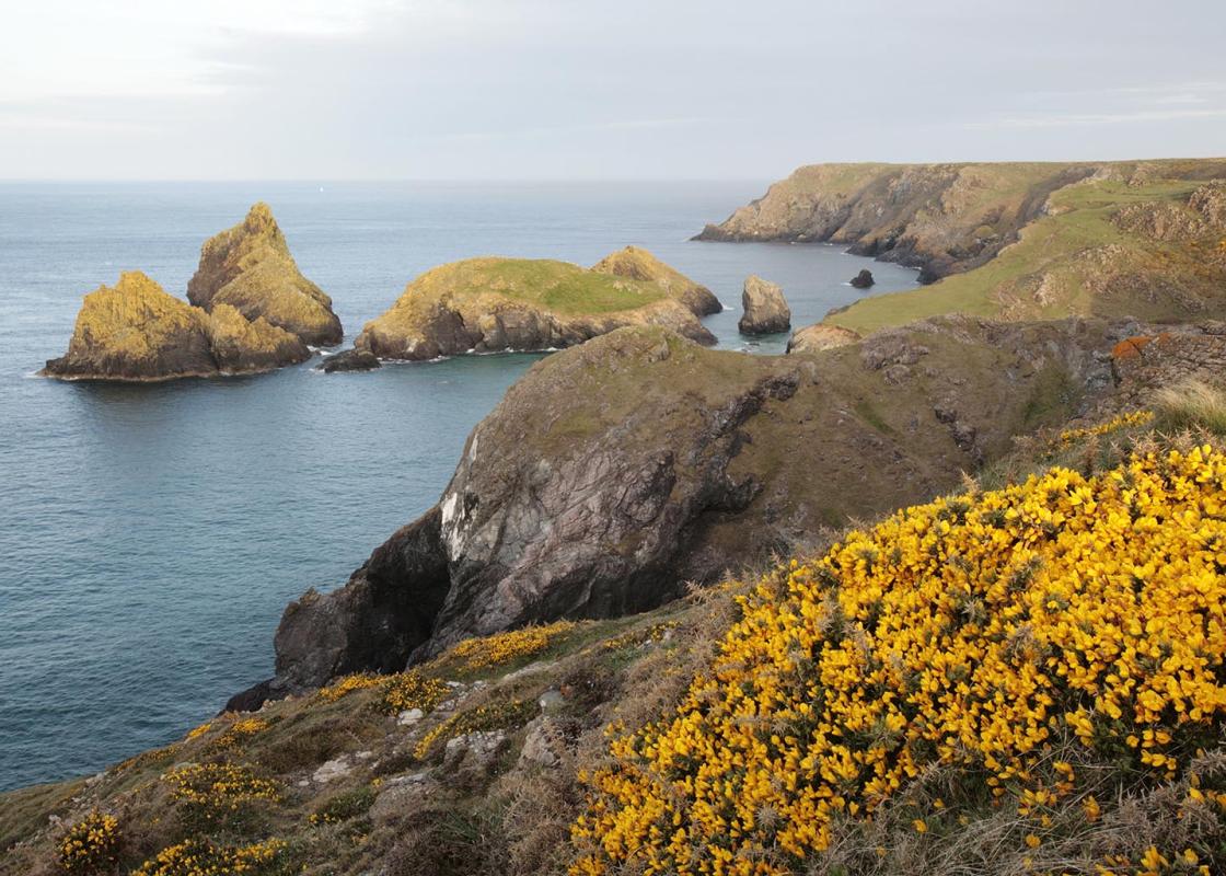
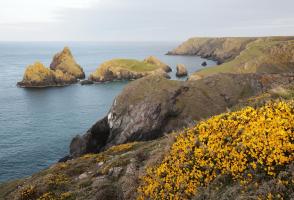
Landscape
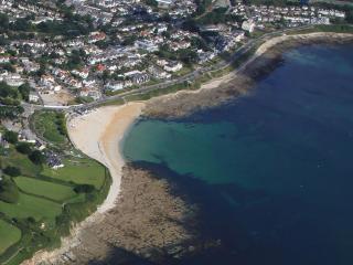
- Spectacular sea cliffs backed by open heathland
Dog friendliness
- Dogs on lead through grazed areas
Parking
- Large car park at centre of Lizard village, donation box, can be busy in summer
Toilets en route
- By car park at Lizard village and at Kynance Cove
About the walk
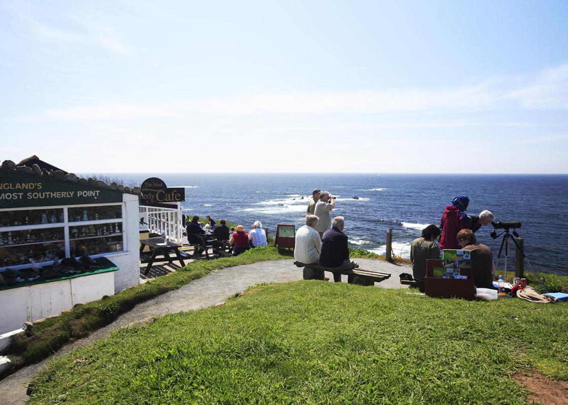
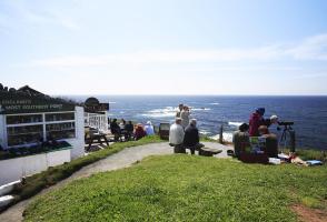
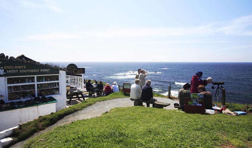
On the high ground of Lizard Point stands one of the most strategically important lighthouses in Britain. A coal-fired Lizard Lighthouse was built in 1619, but was short-lived, and it was not until 1752 that a more substantial lighthouse was built. It was first powered by coal and then, from 1812,...
Read more

Been on this walk?
Send us photos or a comment about this route. Or recommend a route of your own.

Walking in Safety
Read our tips to look after yourself and the environment when following this walk.

Get an AA guide
Explore our range of ‘50 Walks in’ guides - they’re the ideal companion for a ramble.
Been on this walk?
Send us photos or a comment about this route. Or recommend a route of your own.
Walking in Safety
Read our tips to look after yourself and the environment when following this walk.
Get an AA guide
Explore our range of ‘50 Walks in’ guides - they’re the ideal companion for a ramble.
About the area
Cornwall has just about everything – wild moorland landscapes, glorious river valley scenery, picturesque villages and miles of breathtaking coastline. Known for its popular surfing spots, the region provides ample opportunities for water sport enthusiasts, and for those who prefer to stay on land, visitor attractions like the Eden Project and the Lost Gardens of Heligan offer a lovely day out.
Nearby places to stay
View all (8)


Self-Catering
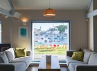
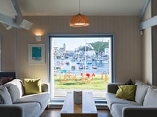
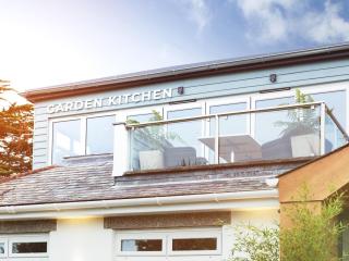
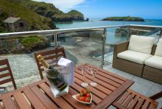
Mullion Harbour and Harbour View Apartments
- Total units: 8
- Private garden
- Lawn area
- Garden furniture
Nearby places to stay
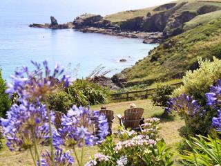
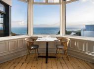
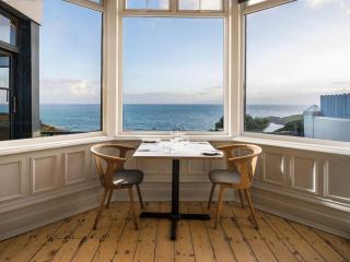
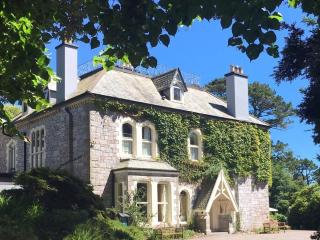
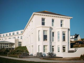
Housel Bay
The long-established hotel at Housel Bay has much to offer, not least being the simply stunning views across the Western Approaches, seen from the lounge and many of the bedrooms. Accom...
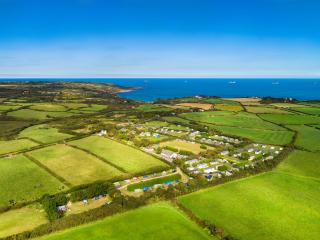
Silver Sands Holiday Park
Silver Sands Holiday Park is a relaxed and peaceful park in a remote location, with individually screened pitches providing sheltered sun traps. There is a very engaging atmosphere with...
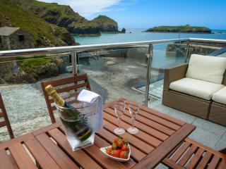
Mullion Harbour and Harbour View Apartments
With uninterrupted views of the picturesque Mullion Harbour, these fabulous apartments, three with private balconies and hot tubs, sit in an enviable position right on the edge of the q...
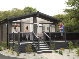
Mullion Cove Park
Mullion Cove Park is a stunning Cornwall retreat. Lodges are equipped with all the home-from-home features you could ask for, with fully equipped kitchens, complimentary WiFi and a rang...
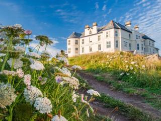
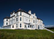
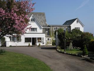
Mullion Cove Hotel & Spa
Mullion Cove Hotel was built at the turn of the last century and is set high above the working harbour of Mullion, giving it spectacular views of the rugged coastline; seaward facing ro...
Polurrian on the Lizard
Polurrian on the Lizard boasts a stunning cliff-top position with spectacular views across Mount's Bay. Elegant public areas offer a contemporary, stylish and relaxing environment. With...
Little Trevothan Camping and Caravan Park
Little Trevothan Camping and Caravan Park is a secluded site, with excellent facilities, near the unspoilt fishing village of Coverack on the Lizard Peninsula, with a large recreation a...
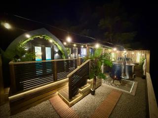
The Secret Garden Glamping
Awaiting description....
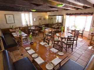
Places to eat nearby View all