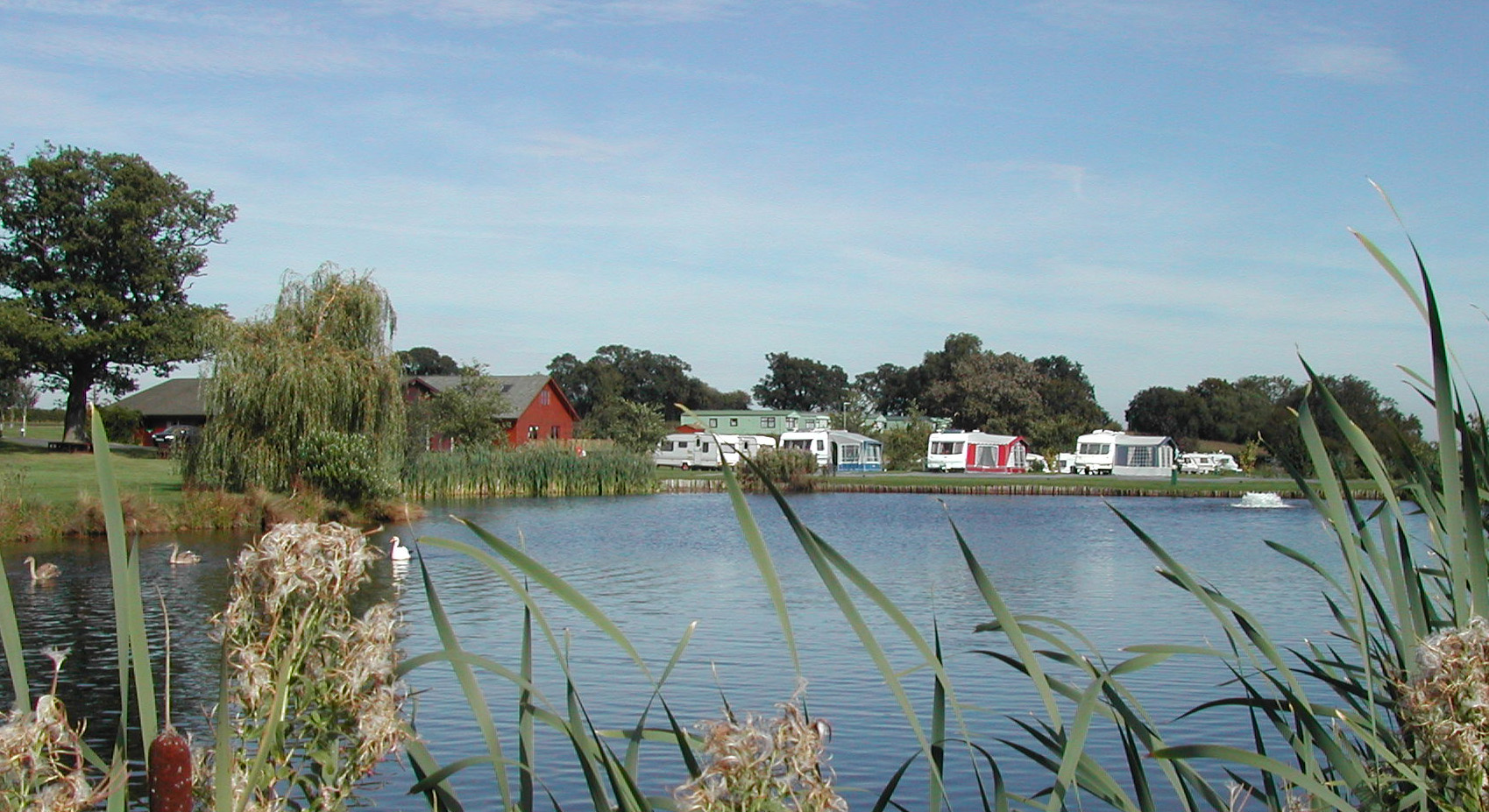

The Griffin Inn
Griffin Inn is at the heart of the of village of Llanbedr Dyffryn Clwyd, near Offa’s Dyke Path…

Moel Famau
7.5 miles (12.1kms)
If you’re driving into Wales from the northwest, the chances are that the first hills you’ll see are the Clwydians, dark rolling ridges that rise up from the sea at Prestatyn and decline 20 miles (32km) or so south in the fields of the Alun Valley. Although the hills are empty these days, at one time they were highly populated. Climb to the tops and you’ll see Iron and Bronze Age forts scattered about the hilltops, some of them among the best preserved in Wales.
One of the best places to start a walk in the Clwydians is Loggerheads. The path from the vistor centre follows the shallow, swift-flowing Afon Alun through a narrow limestone valley filled with wych elm and oak. In July you’ll see limestone flora, including field scabious, wild thyme and bloody cranesbill, while above there are spotted woodpeckers, tawny owls and nuthatches.
The climb out of the valley includes a short traverse of farmland before clambering through heather fields to Moel Famau, which means ‘mother mountain’ and at 1,818ft (554m) is the highest of the range. The monument on the summit was built in 1810 to celebrate the jubilee of King George III. Its Egyptian-styled obelisk was wrecked by a violent gale some 50 years later, and the place lay in ruins until 1970 when it was tidied up. Below and to the west there’s the much older site of Moel y Gaer, one of those fascinating hill-forts with concentric earthwork rings sculpted into a grassy knoll. Casting your eyes beyond the rings and across the green fields and chequered hedgerows of the Vale of Clwyd, it’s interesting to pick out the familiar skyline summits of Snowdonia. Tryfan’s jagged crest is easy to spot, but somehow you cannot quite see Snowdon and that’s because Moel Siabod, prima donna that it feels it is, has elbowed its way to the front, to hide the real star of the show, Snowdon, and confuse the issue. Fortunately there are topographs to help you out. The ridge walking from the summit is delightful. Otherwise, a wide path takes you down to the forest, where it continues down a grassy ride. While the spruce trees are not an attractive habitat for a wide range of species you might easily spot a song thrush, colourful chaffinches or coal tits; or maybe, just maybe, a sparrowhawk.
Go past the front of the Loggerheads Country Park Visitor Centre, café and other buildings, cross the bridge over the Alun and turn left along the surfaced path through the valley. Keep to the main, near-level path, marked the Leete Path, and head towards Devil’s Gorge.
Pass the ALYN kennels and cattery, cross a lane, then look out for a small path on the left, signed to Moel Famau. This leads to a footbridge. Across this the path heads west through a gate, then staggers to the right across a farm lane and climbs past a farmhouse and small field. Enclosed by thickets, it climbs to the right of another house to reach a T-junction of country lanes. Go straight ahead and follow the lane uphill, then turn right to follow the track that passes Ffrith farm before swinging left to climb round the pastured slopes of Ffrith Mountain. Take the upper left fork in the tracks signed Moel Famau.
The route skirts a spruce plantation and climbs to a crossroads of tracks, marked by a tall waymarker post. Turn left here and follow a wide path over undulating heather slopes towards the tower on the top of Moel Famau.
From the summit, head southeast and go through a gate at the end of a low wall to follow a wide track, highlighted by purple/blue waymarking arrows, southeast towards the forest’s edge. The track continues its descent through the trees. Go straight on at a crossroads of paths by a huge black grouse sculpture, then take the right fork path by the stream to the forest car park to meet the Moel Famau roadside car park and picnic area.
Now follow the lighter blue waymarkers of the Moel Famau Loop on a rising forest track running parallel to the road below. Continue uphill at the hairpin, and take two successive right fork tracks, following Loggerheads waymarkers.
As the track veers left, leave it for a narrow path on the right, signed ‘Loggerheads’. This soon descends to the edge of the forest, where it doubles back right over a stile into fields. Follow the field edge before crossing another stile and turning left onto a stony farm track. Follow this to a lane, turn right, then left at a junction. This leads back to the car park at Loggerheads.
Well-defined paths and forestry tracks, many stiles
Heather moor, forest and farmland
Dogs could run free in forest and on heather ridges
OS Explorer 265 Clwydian Range
Pay car park by Loggerheads Country Park Visitor Centre
At Visitor Centre
Route can be shortened by taking regular Moel Famau shuttle bus, which runs daily from late July to early September, from the forestry car park and Bwlch Pen Barra to Loggerheads
Read our tips to look after yourself and the environment when following this walk.
Wales’s most northeasterly county contains little in the way of big blockbuster attractions, but that doesn’t mean there’s nothing to see or do. Bounded by the Dee Estuary to the north and the Clwydian mountain range to the west, with the bright lights of Chester just over the border to the east, Flintshire has been described as both ‘the Gateway to Wales’ and ‘Wales in miniature’.
Much of the county’s greatest delights can be found in its landscapes. The purple-heathered Clwydian Range is an Area of Outstanding Natural Beauty. Talacre Beach sports a picturesque lighthouse and miles of world-famous sand dunes. And the Dee Estuary is a Site of Special Scientific Interest (SSSI) and a great place to spot wading birds.
St Winefride’s Well in Holywell is one of the Seven Wonders of Wales, and the site of a famous Welsh legend – the well is said to have sprung up from the spot where Winifred was beheaded by Caradoc after refusing to marry him (A Morbid Taste for Bones, the first Cadfael novel, takes its plot from Winifred’s legend). It’s still a site of pilgrimage for some. Other Flintshire towns include former country town Flint, and the market town of Mold.
Discover more than 15,000 professionally rated places to stay, eat and visit from across the UK and Ireland.
Choose a place to stay safe in the knowledge that it has been expertly assessed by trained assessors.
Search by location or the type of place you're visiting to find your next ideal holiday experience.
Read our articles, city guides and recommended things to do for inspiration. We're here to help you explore the UK.