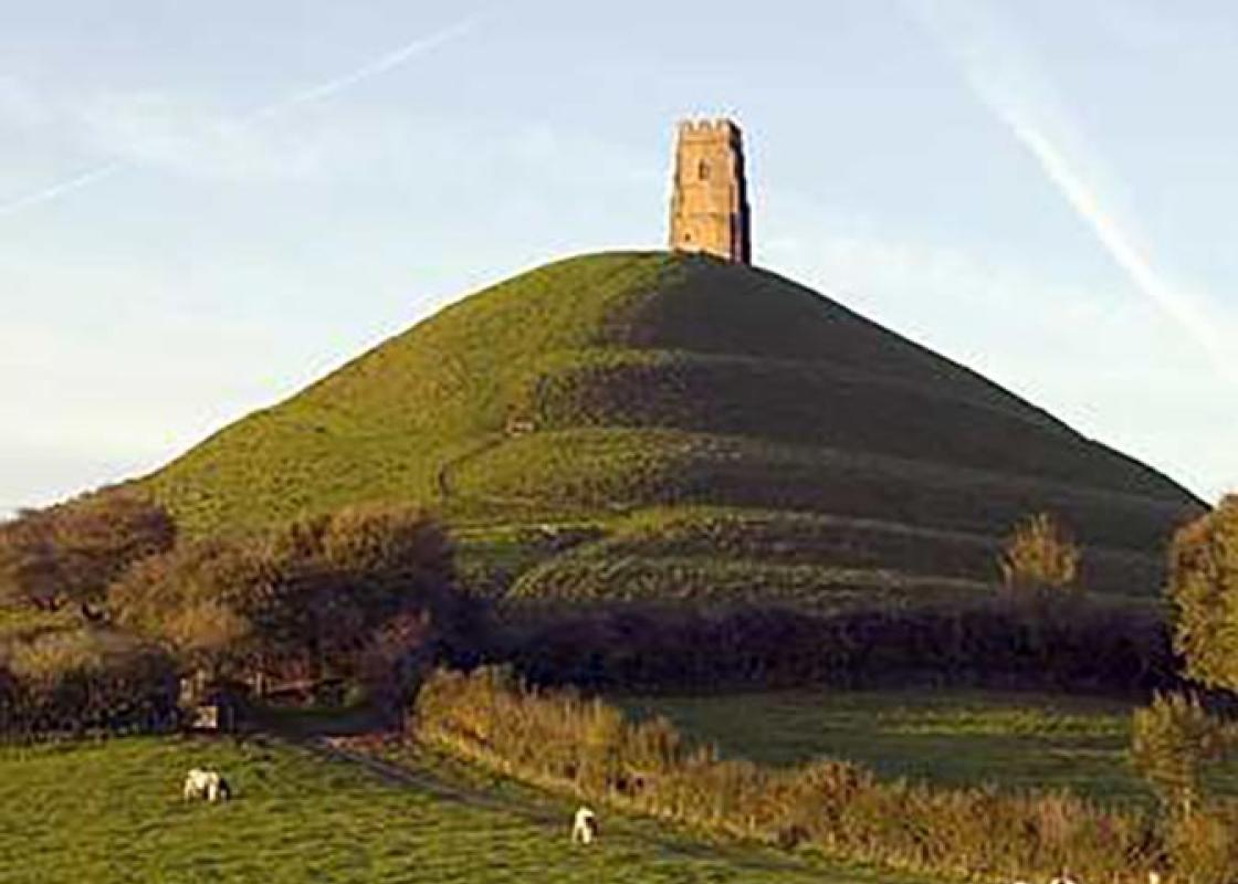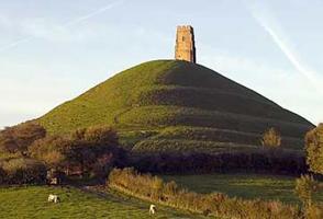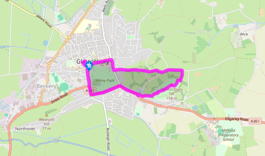
Glastonbury Tor and town
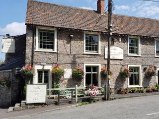
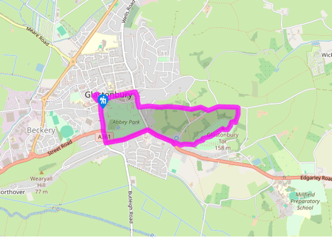
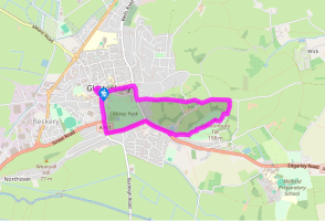
From the Market Cross head down Magdalene Street, past the entrance to the Glastonbury Abbey grounds. Cross a roundabout (with, on the right, the road to Street logically named ‘Street Road’ – it couldn’t really have been ‘Street Street’), keep ahead into Fishers Hill, then follow the main road left into Bere Lane. Follow this to its end, passing the Rural Life Museum in Abbey Barn – once a grange barn of Glastonbury Abbey.
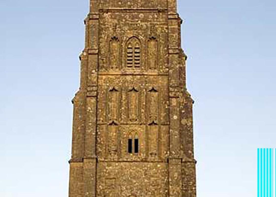
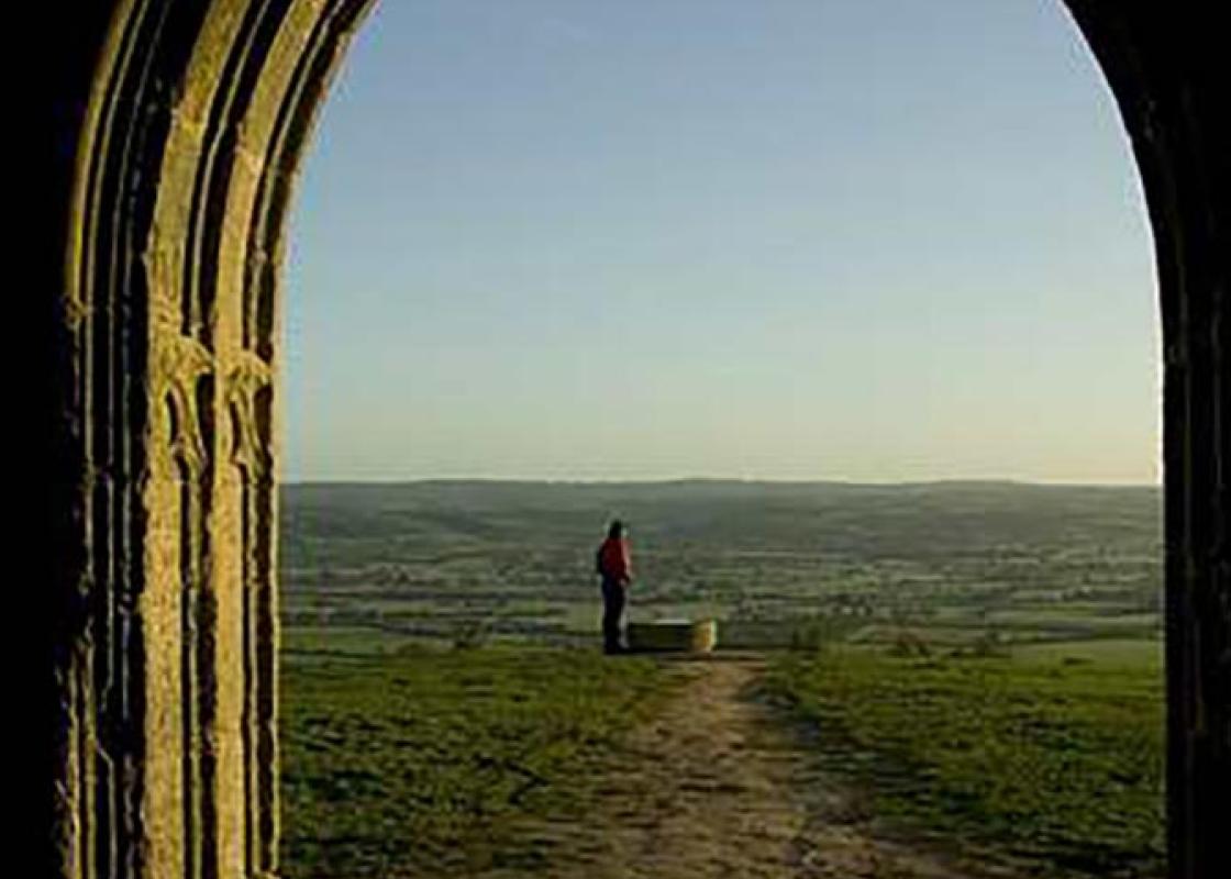
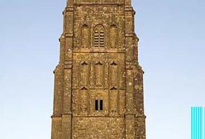
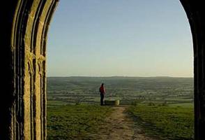
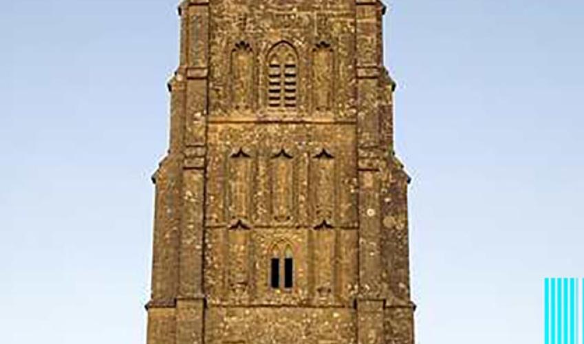
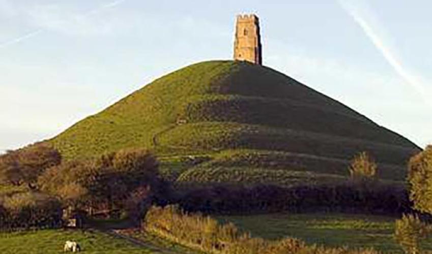
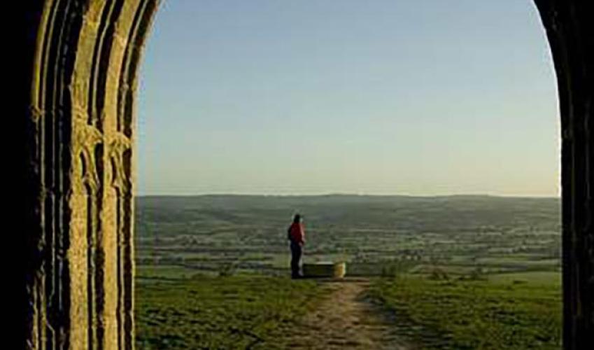
Just past the Abbey Barn turn right at the mini-roundabout onto a raised pavement – signed 'The Tor'. After 0.25 miles (400m) you reach the Chalice Well and Gardens: its sinister blood-red waters once supplied the abbey, and later the Pump House. It has been developed as a ‘visitor attraction’ (with an entry fee). Turn left into Well House Lane and at once right, up a steep lane that leads onto Glastonbury Tor. A concrete path with steps leads upwards to the summit tower.

Been on this walk?
Send us photos or a comment about this route. Or recommend a route of your own.

Walking in Safety
Read our tips to look after yourself and the environment when following this walk.

Get an AA guide
Explore our range of ‘50 Walks in’ guides - they’re the ideal companion for a ramble.
Been on this walk?
Send us photos or a comment about this route. Or recommend a route of your own.
Walking in Safety
Read our tips to look after yourself and the environment when following this walk.
Get an AA guide
Explore our range of ‘50 Walks in’ guides - they’re the ideal companion for a ramble.

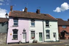
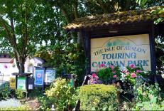
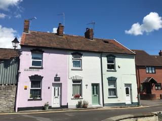
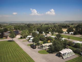
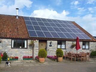
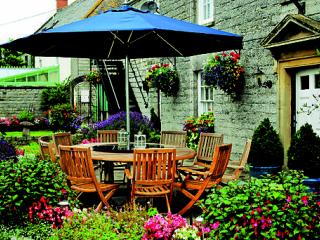
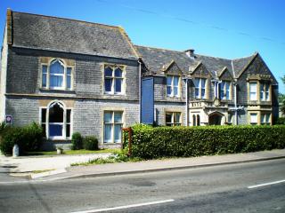
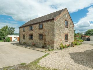
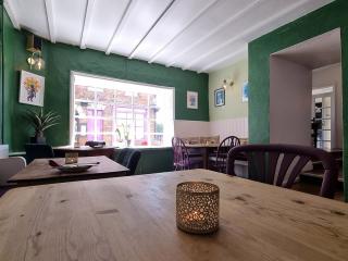
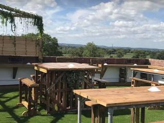
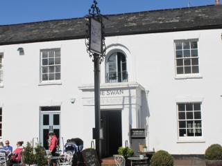
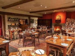
Nearby places to stay
View all (8)