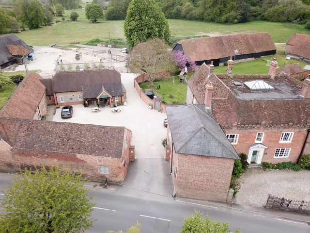

YHA Streatley-on-Thames
A comfortable Victorian house five minutes' walk from the River Thames, YHA Streatley-on-Thames…

Goring
5 miles (8kms)
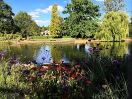
The Thames is historically the most important river in Britain, used as a highway since early times. To stroll along its banks is the only way to appreciate its unique beauty and character. The 184-mile (294km) Thames Path, officially opened in July 1996 by the Countryside Commission (now the Countryside Agency), is the only long distance national trail in the country to follow a river for its entire length. More than 13 million people live within its catchment area and with numerous access points, frequent public transport services, a high standard of waymarking and many points of interest, the Countryside Agency believes its long-term popularity is assured.
Despite problems over access in several places, the Thames Path has come a long way since the 1920s when the concept of providing public access along the length of the river was first mooted. Over the years, increasing public demand for recreation and access to the countryside led to the eventual designation of the route in 1989.
The user-friendly terrain and level, easy-going surface enable walkers to tackle the route at any time of year, though stretches of the river bank can become wet and muddy after prolonged rain. More than 95 per cent of the trail currently follows the intended route, running beside the river, which begins life as a trickling stream in a Gloucestershire field near Cirencester. The route ends at the Thames Barrier in London, passing many distinguished buildings and famous monuments along the way that reflect Britain’s history and tradition.
Between Wallingford and Reading, the Thames is most closely associated with the ‘Goring Gap’ where, during the Ice Age, the river carved a new passage through the chalk hills, cutting between the Berkshire Downs and the Chilterns. Ferry Lane marks the point where the Ridgeway and the Icknield Way once crossed the river at a ford. Both paths originally formed a prehistoric trade route between Dorset and East Anglia. The ford was important to the Romans and resulted in a raised causeway here. Settlements were established
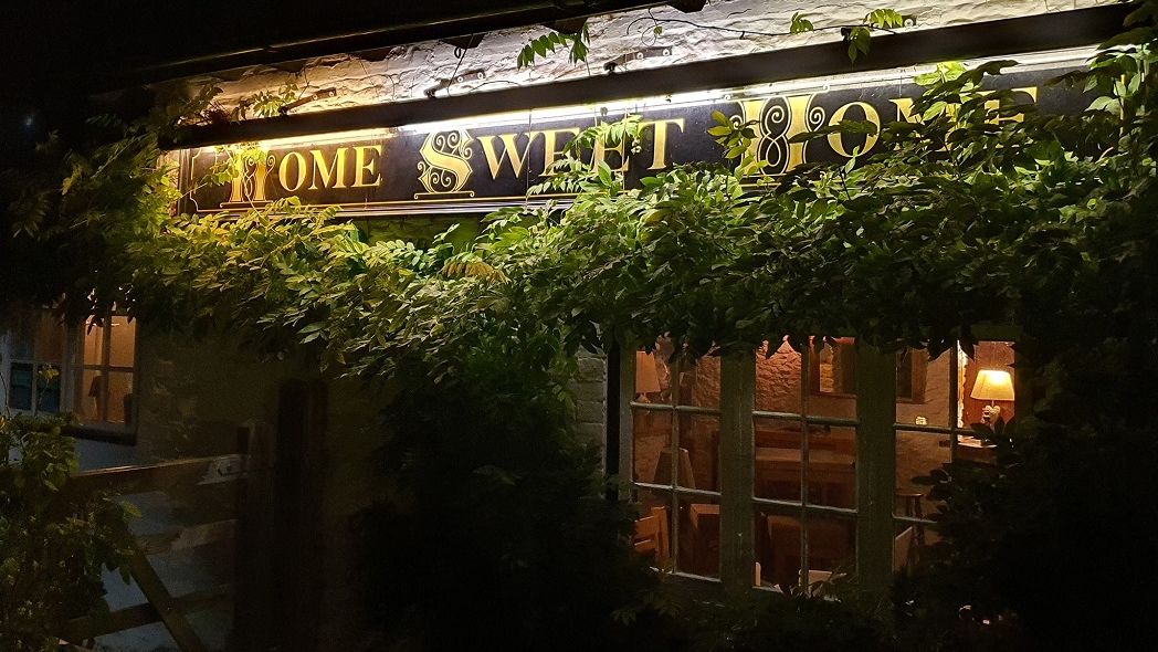
Both Streatley and Pangbourne boast venerable riverside hotels called The Swan. They celebrate the royal birds of the river, the mute swans, which are counted annually during July in an ancient ceremony known as Swan Upping. It is an assertion of royal ownership dating back to the 12th century, when swan meat was considered the basis of the finest dining.
From the station car park, walk down the road past the station entrance and alongside the railway. Turn left over the railway bridge and continue along the High Street, passing the Miller of Mansfield pub. Pass the village hall (dated 1925), on your left, then turn left down some steps and continue towards the river, signed Thames Path. Join the tow path by the old mill. Follow the river downstream.
Cross a little bridge, and further on pass the grassy end of Ferry Lane over on the left. Continue down-stream with the river on your right. Follow the trail, first by the water’s edge, passing boathouses in various states of repair. Go through a gate and follow the path as it skirts meadows and fields. Go through another gate into Little Meadow, a wild flower reserve.
Go through a gate by a concrete pill box, a reminder of the dark days of 1940 when Britain faced a very real threat of invasion. Follow the trail beneath Brunel’s original Paddington-to-Bristol railway line. Pass through several galvanised gates, with Gatehampton Manor and farm over to the left, and walk along to Ferry Cottage. There used to be a public ferry here, one of many services along the entire length of the Thames, but most of them were discontinued during World War II.
At this point turn left, away from the river bank, over a small bridge. On reaching a T-junction, turn right and follow the path parallel to the Thames, cutting between the trees of Hartslock Wood. Look for another pill box down to your right, partly concealed by woodland, and keep ahead. The river is glimpsed between the trees as you climb above it, and the path rises steadily.
After 0.75 miles (1.2km) emerge from the woodland and continue between fields. Descend a steep slope then climb a long flight of wooden steps. Keep ahead on a drive for a long 0.5 miles (800m), passing Elm Cottage and Coombe Lodge.
Turn right at the road, following it down into Whitchurch village. Pass Manor Road, The Greyhound pub before reaching the toll house.
Cross the Thames to the Berkshire bank, then turn right by the Boathouse Surgery and follow the waymarked footpath all the way through to the main road. Opposite is Pangbourne railway station. Either catch the train back to Goring or retrace your steps along the Thames path, back to Goring station car park.
Tow path, field and woodland paths, village roads
Thames Valley meadows and beechwoods
Under control on Thames Path; on lead in villages
OS Explorer 171 Chiltern Hills West
Station car park in Goring (or either train station)
At Wheel Orchard car park, Goring or Station Road car park in Pangbourne
Read our tips to look after yourself and the environment when following this walk.
Located at the heart of England, Oxfordshire enjoys a rich heritage and surprisingly varied scenery. Its landscape encompasses open chalk downland and glorious beechwoods, picturesque rivers and attractive villages set in peaceful farmland. The countryside in the northwest of Oxfordshire seems isolated by comparison, more redolent of the north of England, with its broad views, undulating landscape and dry-stone walls. The sleepy backwaters of Abingdon, Wallingford, Wantage, Watlington and Witney reveal how Oxfordshire’s old towns evolved over the centuries, while Oxford’s imposing streets reflect the beauty and elegance of ‘that sweet city with her dreaming spires.’ Fans of the fictional sleuth Inspector Morse will recognise many Oxford landmarks described in the books and used in the television series.
The county demonstrates how the strong influence of humans has shaped this part of England over the centuries. The Romans built villas in the pretty river valleys that thread their way through Oxfordshire, the Saxons constructed royal palaces here, and the Normans left an impressive legacy of castles and churches. The philanthropic wool merchants made their mark too, and many of their fine buildings serve as a long-lasting testimony to what they did for the good of the local community.
Discover more than 15,000 professionally rated places to stay, eat and visit from across the UK and Ireland.
Choose a place to stay safe in the knowledge that it has been expertly assessed by trained assessors.
Search by location or the type of place you're visiting to find your next ideal holiday experience.
Read our articles, city guides and recommended things to do for inspiration. We're here to help you explore the UK.