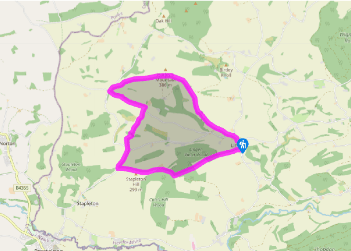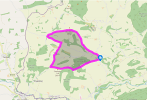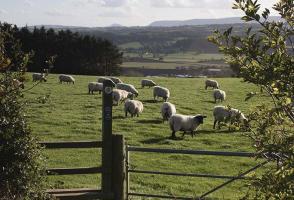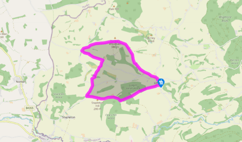
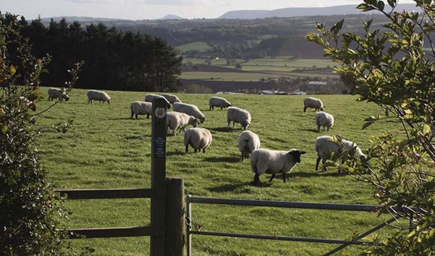
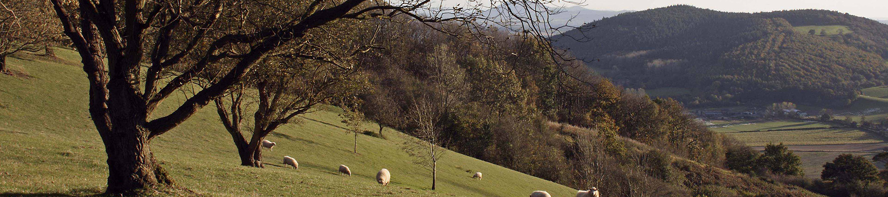
Harley's Mountain
With the church tower behind you, walk forward and cross over to take the minor road signposted ‘Willey’. When you reach the first bend, follow the fingerpost directly ahead. Walk up the left-hand edge of one paddock, followed by the right-hand edge of next and move right to find a stile, with a barn on your left and a muddy track in trees on your right.
Five paces to the right climb another stile and follow the left-hand field-edge marked by square fencing. With trees and power lines half-left, follow a waymarker up and slightly right. In the corner, go through a narrow metal gate (waymarked) to the side of a track. On reaching a brick-built cottage skirt right of this, and around the buildings of Mynde Farm (loose dogs may be present). Find a gate on the right behind a low building.

Been on this walk?
Send us photos or a comment about this route. Or recommend a route of your own.

Walking in Safety
Read our tips to look after yourself and the environment when following this walk.

Get an AA guide
Explore our range of ‘50 Walks in’ guides - they’re the ideal companion for a ramble.
Been on this walk?
Send us photos or a comment about this route. Or recommend a route of your own.
Walking in Safety
Read our tips to look after yourself and the environment when following this walk.
Get an AA guide
Explore our range of ‘50 Walks in’ guides - they’re the ideal companion for a ramble.
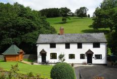
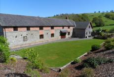
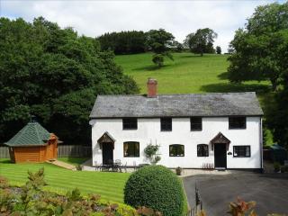
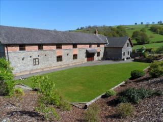
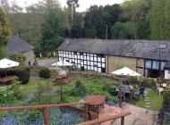
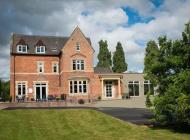
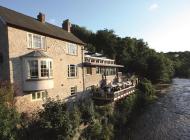
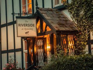
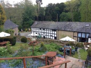
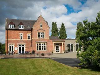
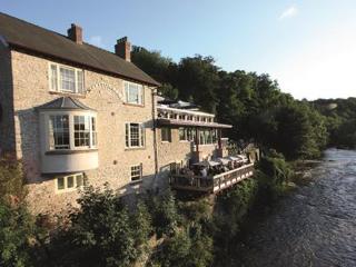
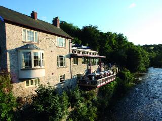
Nearby places to stay
View all (8)