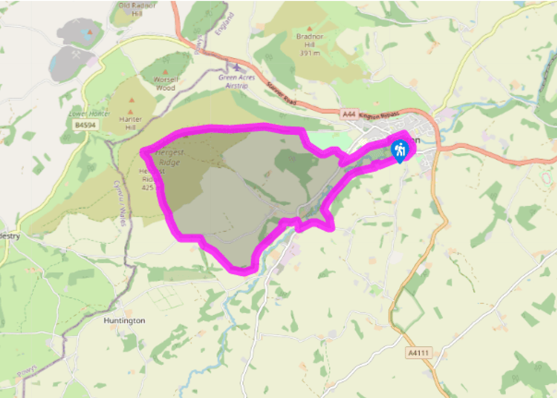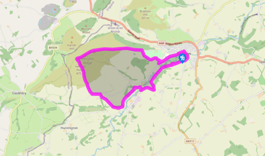
Hergest Ridge
Walk down the High Street and turn right into Bridge Street. Cross the River Arrow and turn right into Kingswood Road. Take the driveway to Newburn Farm.
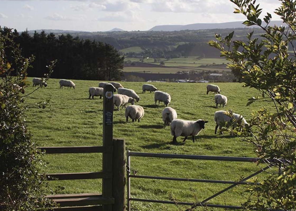
Go round three sides, then take a gate beyond a corrugated shed and stables into a field. After an area planted with trees (including cherry and ash), when you see a footbridge, move up and left to take a stile to a right-hand field-edge, under huge oak limbs. Walk for over 0.5 miles (800m) through meadows, curving left to a stile and steps, between two houses, down to a road.

Been on this walk?
Send us photos or a comment about this route. Or recommend a route of your own.

Walking in Safety
Read our tips to look after yourself and the environment when following this walk.

Get an AA guide
Explore our range of ‘50 Walks in’ guides - they’re the ideal companion for a ramble.
Been on this walk?
Send us photos or a comment about this route. Or recommend a route of your own.
Walking in Safety
Read our tips to look after yourself and the environment when following this walk.
Get an AA guide
Explore our range of ‘50 Walks in’ guides - they’re the ideal companion for a ramble.
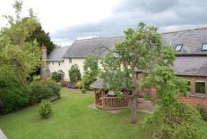
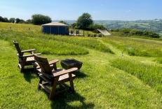
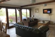
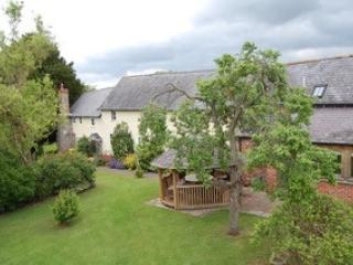
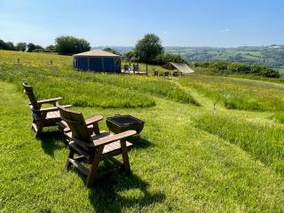
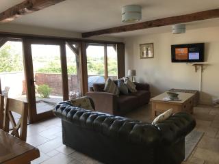
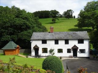
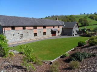
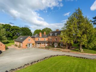
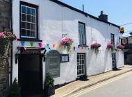
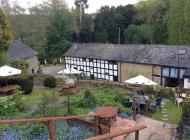
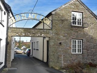
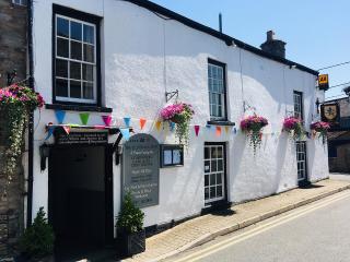
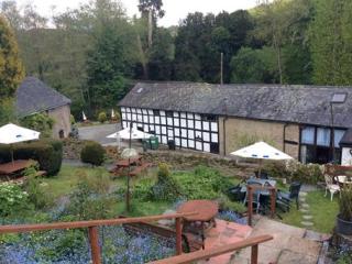
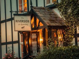
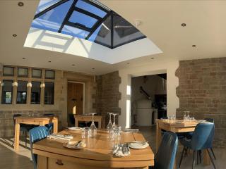
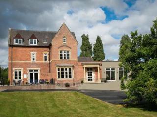
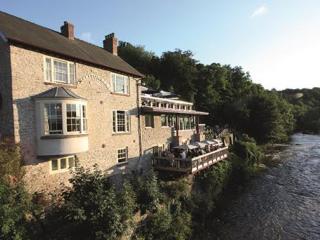
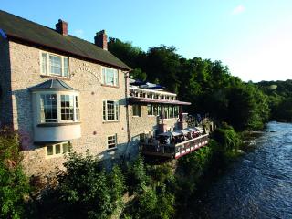
Nearby places to stay
View all (8)