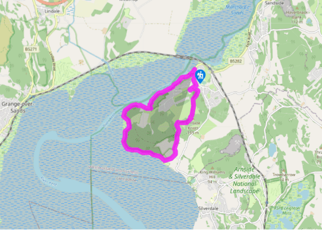
High Arnside Knott
Recommended by

"This tree-clad knoll offers astonishing views and a special ambience."
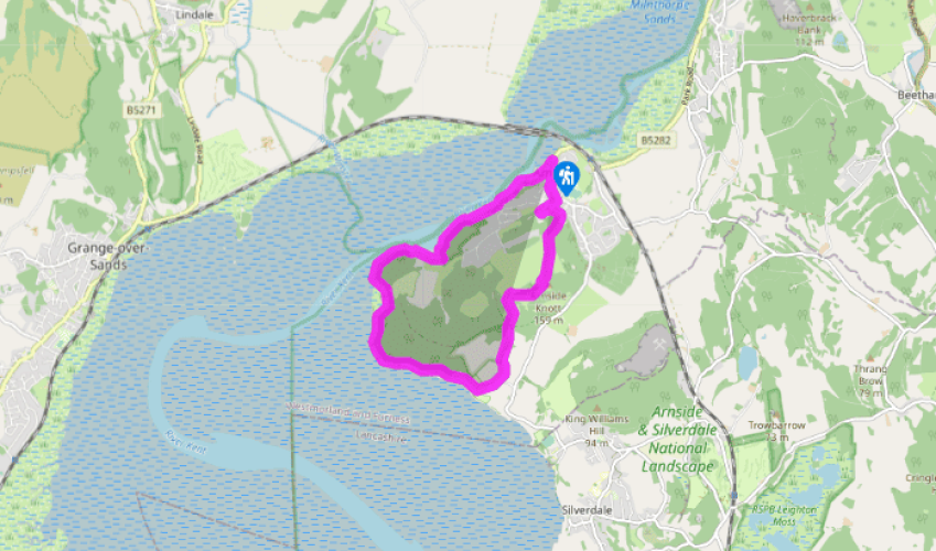
Walk directions
Walk along the promenade. At the end of the surfaced road, by the entrance to Ashmeadow House, a walkway to the right continues above the sands. Continue along the path until it joins the foreshore. Continuing beneath Grubbins Wood, the path crosses mud, pebbles and a polished limestone outcrop before it rounds a little headland to join a track. Depending on the tide, it may seem attractive to walk along the sands on the foreshore. This isn’t recommended as quicksands are prevalent here and are undetectable until you sink.
Turn right to New Barns Caravan Park; before the buildings, bear right past a barrier, initially following a clear track and then along the foreshore. Round Frith Wood, following the path beneath the trees, high on the pebble beach. Keep on to rocky Blackstone Point. You may have to wait to round it if the tide is high.
View all directions
Additional information
Terrain
- Foreshore (tide permitting), paths, some surfaced road, 1 stile
Landscape
- Estuary and foreshore, mixed woods, limestone knoll
Dog friendliness
- Generally a good walk for energetic dogs
Parking
- Along Promenade or in Arnside Beach car park near the viaduct
Toilets en route
- On Lower Promenade
About the walk
Rising from the Kent estuary to form a defiant outpost of resilient limestone, the heights of Arnside Knott are part of the Arnside-Silverdale Area of Outstanding Natural Beauty. Bedecked with magnificent oak and mixed woods, rocky scree, hummocky grass, scattered bushes and the airy delights of...
Read more

Been on this walk?
Send us photos or a comment about this route. Or recommend a route of your own.

Walking in Safety
Read our tips to look after yourself and the environment when following this walk.

Get an AA guide
Explore our range of ‘50 Walks in’ guides - they’re the ideal companion for a ramble.
Been on this walk?
Send us photos or a comment about this route. Or recommend a route of your own.
Walking in Safety
Read our tips to look after yourself and the environment when following this walk.
Get an AA guide
Explore our range of ‘50 Walks in’ guides - they’re the ideal companion for a ramble.
About the area
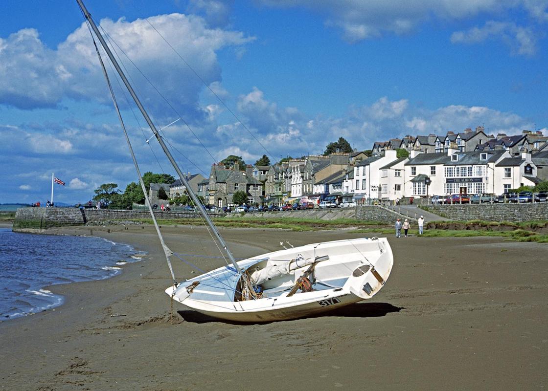
Cumbria's rugged yet beautiful landscape is best known for the Lake District National Park that sits within its boundaries. It’s famous for Lake Windermere, England’s largest lake, and Derwent Water, ‘Queen of the English Lakes', but other lesser-known areas in the south, such as the Lune Valley and the coastal towns, are secret gems of wide cobbled streets and rolling hills.
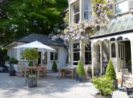
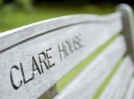
Nearby places to stay
View all (8)


Nearby places to stay
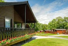
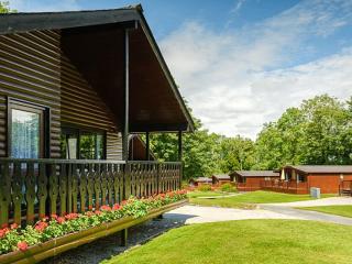
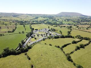
Hollins Farm Holiday Park
Hollins Farm is a Holgates Holiday Park; one of a collection of family-owned and operated parks spanning across the South Lakes, North Lancashire and Ribble Valley. Here you can bring y...
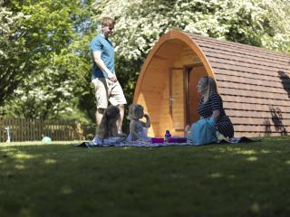
Woodlands Pine Lodges
Swiss or Nordic style? This is your choice at Woodlands Pine Lodges, with the Swiss featuring a washing machine and dryer, while the Nordic have a larger sauna. Although self-catering i...
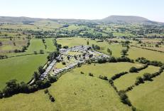
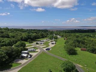
Far Arnside Caravan Park
Holgates Holiday Parks is a collection of family owned and operated parks spanning across the South Lakes, North Lancashire and Ribble Valley. Ideally situated among outstanding natural...
Silverdale Holiday Park
Situated in the Arnside and Silverdale National Landscape in over 100 acres of mature woodland and countryside, Silverdale Holiday Park overlooks Morecambe Bay and Arnside Knott. On off...
Beetham Holiday Park
Beetham enjoys easy access to the Lake District, Yorkshire Dales, Forest of Bowland, the coast and other parts of Cumbria, Lancashire and North Yorkshire. The tranquillity and relaxing ...
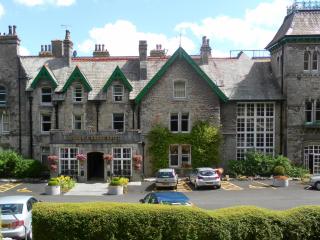
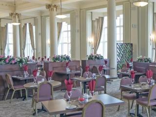
The Cumbria Grand Hotel
Set within extensive grounds, the Cumbria is an ever-improving, grand hotel with fine views over Morecambe Bay. Public areas are pure nostalgia, and include comfortable lounges, a magni...
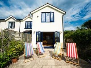
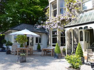
Beach Rise
Beach Rise is in a truly remarkable location, enjoying uninterrupted views across Morecambe Bay from the back garden and some rooms. Go through the back gate and you're right on the bea...
Beach Rise
Beach Rise is in a truly remarkable location, enjoying uninterrupted views across Morecambe Bay from the back garden and some rooms. Go through the back gate and you're right on the bea...
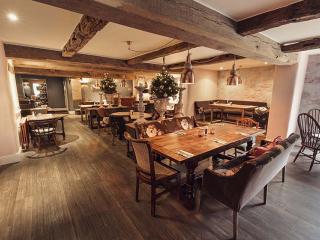
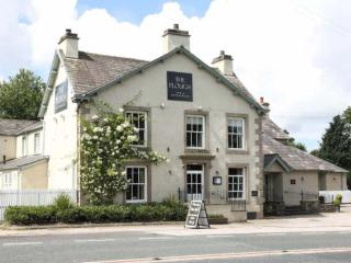
Places to eat nearby View all