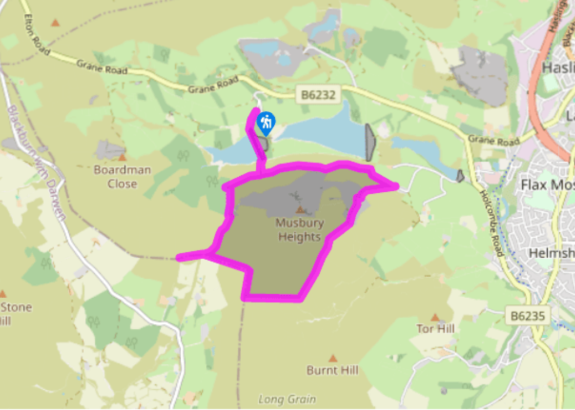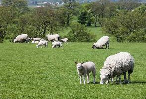
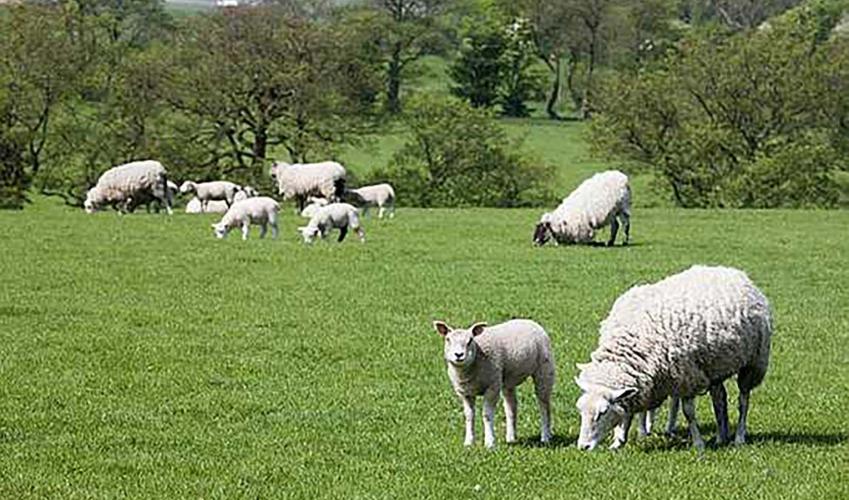
High on Hog Low Pike
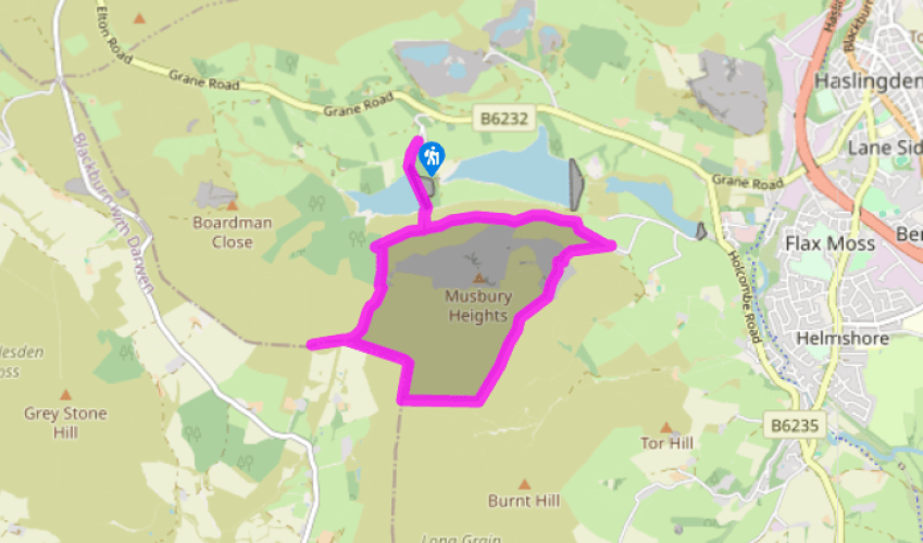
Follow the ongoing drive down to cross the Calf Hey dam. Leave beyond the spillway over a stile on the left and climb to a lone sycamore above.
Follow a path right for 50yds (46m), then branch left on a narrow path signed to Edgworth. It rises gently across the hillside before passing over a stile into wood. Reaching a crossing path by a post, keep ahead, the way steepening above Hog Low Clough. Stepped towards the top, it breaks from the trees to a junction at the edge of open moor.

Been on this walk?
Send us photos or a comment about this route. Or recommend a route of your own.

Walking in Safety
Read our tips to look after yourself and the environment when following this walk.

Get an AA guide
Explore our range of ‘50 Walks in’ guides - they’re the ideal companion for a ramble.
Been on this walk?
Send us photos or a comment about this route. Or recommend a route of your own.
Walking in Safety
Read our tips to look after yourself and the environment when following this walk.
Get an AA guide
Explore our range of ‘50 Walks in’ guides - they’re the ideal companion for a ramble.

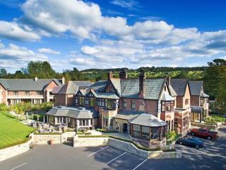
Nearby places to stay
View all (8)