Hilaire Belloc's Shipley
Recommended by

"A walk around the village of a writer with a love for the Sussex countryside."
Walk directions
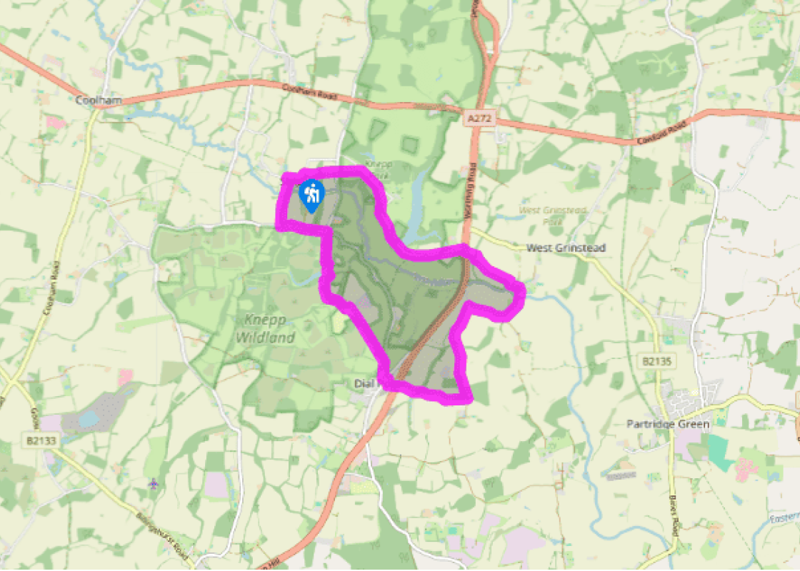
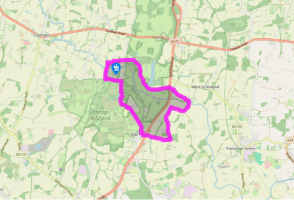
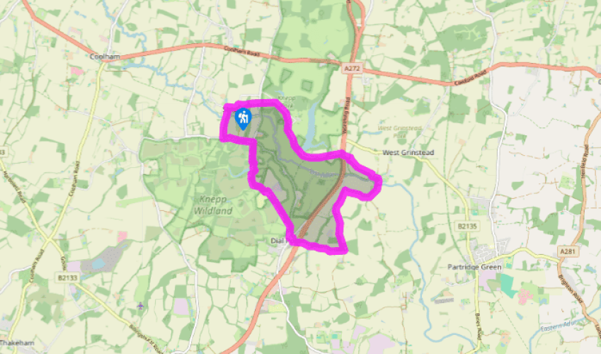
From the car park turn right and follow the road, Red Lane, round the left bend. After 100yds (91m) bear right through a defunct kissing gate and follow the right-hand boundary of the field. Look for a gate into Church Wood. Follow the path through the trees, ignoring the permissive footpath turns. Go through a gate and continue along the edge of the field to the road.
Cross over and follow a path through trees to a gate and enter parkland. Walk ahead across a field to reach a footpath fingerpost. Bear right and follow the drive towards Knepp Castle. On reaching a left turning, swing right and head across the pasture. On reaching a drive, turn right and pass New Lodge. Follow the drive as it runs alongside Knepp Millpond. The remains of the original Knepp Castle, designed by John Nash in 1809, can be seen across the fields.
View all directions
Additional information
Terrain
- Field and woodland paths, country roads, several stiles
Landscape
- Undulating farmland and parkland
Dog friendliness
- Off lead on drives and farm tracks; under control through Knepp Estate Deer Park and near A24
Parking
- Small free car park at Shipley
Toilets en route
- None on route
About the walk
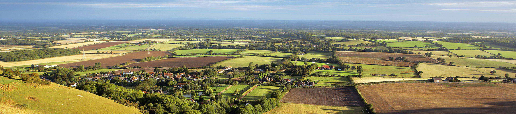
It has been said that Hilaire Belloc is to Sussex what Wordsworth is to the Lake District. He was certainly passionate about the county, and this delightful walk suggests more than a hint of the great man’s spirit. Belloc was a poet, writer, historian and politician – and exploring the picturesque...
Read more

Been on this walk?
Send us photos or a comment about this route. Or recommend a route of your own.

Walking in Safety
Read our tips to look after yourself and the environment when following this walk.

Get an AA guide
Explore our range of ‘50 Walks in’ guides - they’re the ideal companion for a ramble.
Been on this walk?
Send us photos or a comment about this route. Or recommend a route of your own.
Walking in Safety
Read our tips to look after yourself and the environment when following this walk.
Get an AA guide
Explore our range of ‘50 Walks in’ guides - they’re the ideal companion for a ramble.
About the area
Divided from East Sussex back in 1888, West Sussex has a variety of landscapes and coastal scenery, but it is the spacious and open South Downs with which the county is most closely associated. There are plenty of walking routes in the South Downs National Park, cycling routes by the sea or visitors can explore the pretty town of Arundel with its historic castle and buildings.
Nearby places to stay
View all (8)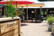
Caravan & Camping
Sumners Ponds Fishery & Campsite

- Launderette
- Ice pack facility
- Cafe/Restaurant
- Picnic Area


Nearby places to stay
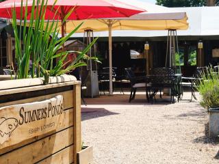
Sumners Ponds Fishery & Campsite
Dedication to provide high quality camping continues at this working farm set in attractive surroundings on the edge of the quiet village of Barns Green. There are two touring areas – o...
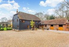
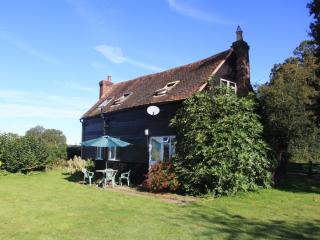
Walnut Escapes
Walnut Barn and Walnut Cottage are distinctive character properties in a tranquil, secure, rural location on the outskirts of Horsham. They're extremely well appointed and furnished to ...
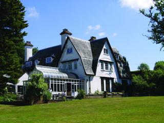
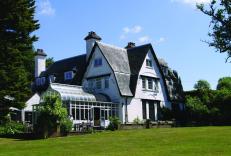
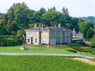
Abingworth Hall
Set in lovely gardens in a peaceful South Downs village, Abingworth Hall offers country house charm with its wood-panelled walls, beamed ceilings and wood-burning stove. Bedrooms come w...
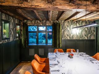
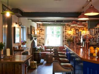
Restaurant Interlude
Restaurant Interlude boasts 10 unique and individually designed luxurious bedrooms in a beautifully restored, Grade II listed property set on a Grade I listed country estate. Enjoy unmi...
Black Cottage
Awaiting description...
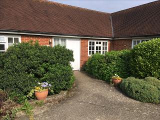
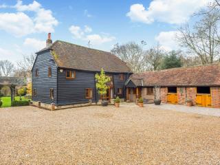
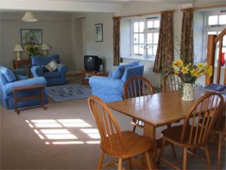
Newells Farm Holiday Cottages
Three comfortable holiday cottages on a 650-acre arable and woodland farm. Adjoining properties, Old Dairy and Little Barn, each sleeping six guests (plus there’s a cot), are located in...
Old Dairy Cottage
Awaiting description...
Little Barn Cottage
Awaiting description...
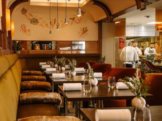
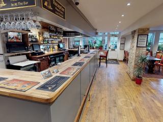
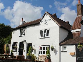
Places to eat nearby View all