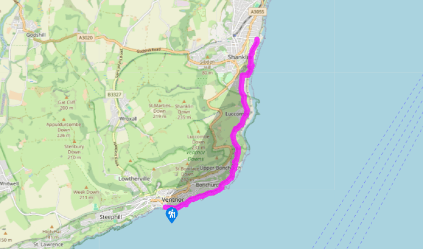
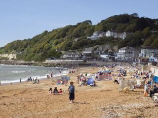
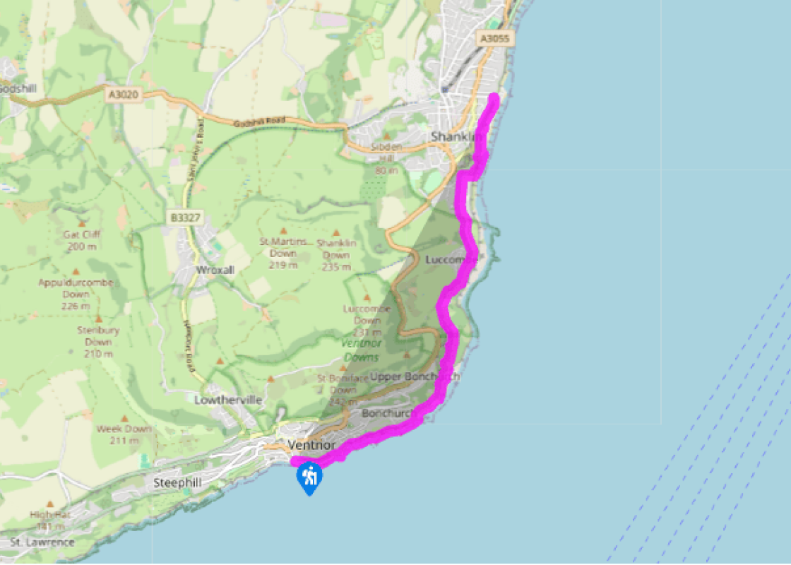
Walk along the seafront at Ventnor, passing the fisheries. Continue ahead through a car park, and go past the barrier gate at the end, onto the sea wall. Follow this past the holiday chalets on Wheelers Bay, and continue for about 1 mile around the point to Bonchurch Bay, a small waterside village.
Once past the Bonchurch Pottery, turn left, inland. Climb steps and a steeply sloping path up through trees to reach the Old Church of St Boniface. Turn right here, and stay on the path to the right of the gate. Descend steps and turn left along a gravel road. At the top keep straight ahead.
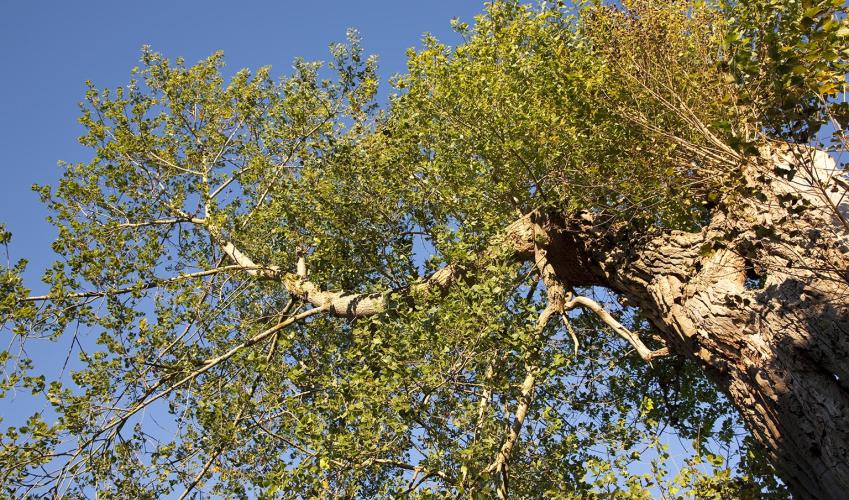
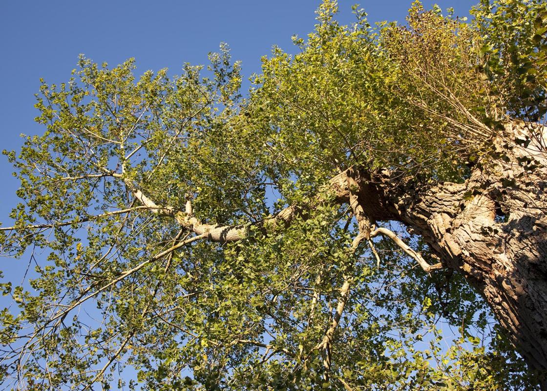
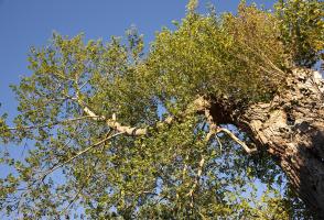
Go through a gate and keep left on the main path, which now enters the Landslip, a lush area of dense foliage caused by unstable ground slowly but inexorably making its way towards the sea. The route through here is steep, uneven and muddy, with erosion making it one of the most challenging sections of the entire coastal route – though steps, rails and duckboards all help. Follow the path up steps, and ignore the footpath off to the left (V65d). Keep ahead on the undulating route, parallel to the coast, passing a turning to the Devil’s Chimney. Continue, to pass a rustic stone wishing seat on the left. After another very step climb, turn left at the junction with the V65 footpath and start to descend. Go down steps and along a wall to a gate.
Turn left along a drive, and where it curves left, keep ahead on the easy track, past the entrance to Luccombe Chine House. Stay on this track to emerge by a wooden house. Go ahead through a gate and onto a drive. Continue on this gently undulating path to emerge at a lane, by a National Trust sign.
Bear left, and then keep ahead along the road. This meets houses and begins to descend. Turn right into Popham Road, and then go through gardens down steep steps towards the beach. Turn left, walking on the sea wall above the beach (following the coastal path sign) for approximately 200m, until you reach the main esplanade at Shanklin Chine. Continue along the pavement of the esplanade, passing in front of numerous beach huts, shops and hotels and the low building of the Shanklin Sandown Rowing Club. Pass a tall, white tower structure on your left, rising up the height of the cliff. This is a lift which carries passengers up and down the 45m-cliffs which run along much of the esplanade. The current structure, built in the late 1950s, replaces one originally put in place in 1891 to service the growing number of tourists. The walk ends at the junction of Hope Road and Delphi Road.
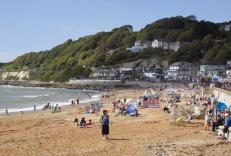
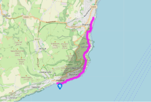
The route follows the Coastal Path (69 miles/111km), which is well signed on the ground with blue signs and a seagull symbol. Constant erosion of the island’s coastline means the path may be rerouted at any point, but this is usually clearly marked. Note that access for dogs to most of the island’s... beaches is restricted in summer. For information about bus links and timetables, see www.islandbuses.info Bonchurch is a much older settlement than neighbouring Ventnor, epitomised by the Old Church of St Boniface, which proudly announces that it was rebuilt in 1070. This a delightful old building, appearing in the Domesday Book as ‘Bonecerce’. There is a strong Norman influence, and inside look out for a medieval painting on the north wall. Charles Dickens rented a house close by, called Winterbourne, and wrote section of David Copperfield here. It’s worth walking up to explore the village, with its pretty duck pond. The coastal path leads on to Shanklin, on the southern sweep of Sandown Bay. Shanklin Old Village is the original settlement, with quaint thatched houses and the smugglers’ pub, the Chine Inn, set around a steep valley, or chine. Poet John Keats stayed here in 1817, on the High Street, and wrote fondly of the chine, describing it as ‘a very great lion’. The path continues along the bottom of the cliff, and past the lift to the clifftop, first installed in 1891, when the town which now sprawls up behind was at its height as a holiday resort. In World War II, Shanklin became a key location on the route of PLUTO, the underground pipeline built to keep the Allies supplied with fuel during the invasion and recapture of France. A control station was concealed in a bombed-out hotel up the coast at Sandown, linked to an underground pipeline laid all the way across the island from Thorness, and after D-Day in 1944, a vital under-sea pipeline was laid from here straight to Cherbourg.
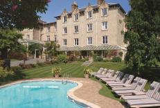
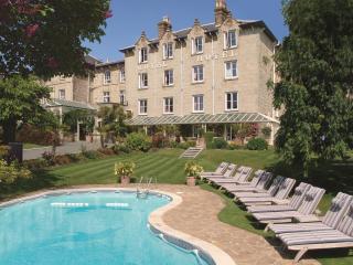
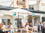
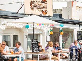
Small and intimate – at just 23 miles by 13 miles, the Isle of Wight is a popular holiday destination; with its mild climate, long hours of sunshine and colourful architecture, it has something of a continental flavour. Visitors can walk along the island’s varied coastline using the well-established Coast Path or step back in time to explore the island’s history at some of the forts and castles.
Walk along the seafront at Ventnor, passing the fisheries. Continue ahead through a car park, and go past the barrier gate at the end, onto the sea wall. Follow this past the holiday chalets on Wheelers Bay, and continue for about 1 mile around the point to Bonchurch Bay, a small waterside village.
1 of 5
Once past the Bonchurch Pottery, turn left, inland. Climb steps and a steeply sloping path up through trees to reach the Old Church of St Boniface. Turn right here, and stay on the path to the right of the gate. Descend steps and turn left along a gravel road. At the top keep straight ahead.
2 of 5
Go through a gate and keep left on the main path, which now enters the Landslip, a lush area of dense foliage caused by unstable ground slowly but inexorably making its way towards the sea. The route through here is steep, uneven and muddy, with erosion making it one of the most challenging sections of the entire coastal route – though steps, rails and duckboards all help. Follow the path up steps, and ignore the footpath off to the left (V65d). Keep ahead on the undulating route, parallel to the coast, passing a turning to the Devil’s Chimney. Continue, to pass a rustic stone wishing seat on the left. After another very step climb, turn left at the junction with the V65 footpath and start to descend. Go down steps and along a wall to a gate.
3 of 5
Turn left along a drive, and where it curves left, keep ahead on the easy track, past the entrance to Luccombe Chine House. Stay on this track to emerge by a wooden house. Go ahead through a gate and onto a drive. Continue on this gently undulating path to emerge at a lane, by a National Trust sign.
4 of 5
Bear left, and then keep ahead along the road. This meets houses and begins to descend. Turn right into Popham Road, and then go through gardens down steep steps towards the beach. Turn left, walking on the sea wall above the beach (following the coastal path sign) for approximately 200m, until you reach the main esplanade at Shanklin Chine. Continue along the pavement of the esplanade, passing in front of numerous beach huts, shops and hotels and the low building of the Shanklin Sandown Rowing Club. Pass a tall, white tower structure on your left, rising up the height of the cliff. This is a lift which carries passengers up and down the 45m-cliffs which run along much of the esplanade. The current structure, built in the late 1950s, replaces one originally put in place in 1891 to service the growing number of tourists. The walk ends at the junction of Hope Road and Delphi Road.
The route follows the Coastal Path (69 miles/111km), which is well signed on the ground with blue signs and a seagull symbol. Constant erosion of the island’s coastline means the path may be rerouted at any point, but this is usually clearly marked. Note that access for dogs to most of the island’s... beaches is restricted in summer. For information about bus links and timetables, see www.islandbuses.info Bonchurch is a much older settlement than neighbouring Ventnor, epitomised by the Old Church of St Boniface, which proudly announces that it was rebuilt in 1070. This a delightful old building, appearing in the Domesday Book as ‘Bonecerce’. There is a strong Norman influence, and inside look out for a medieval painting on the north wall. Charles Dickens rented a house close by, called Winterbourne, and wrote section of David Copperfield here. It’s worth walking up to explore the village, with its pretty duck pond. The coastal path leads on to Shanklin, on the southern sweep of Sandown Bay. Shanklin Old Village is the original settlement, with quaint thatched houses and the smugglers’ pub, the Chine Inn, set around a steep valley, or chine. Poet John Keats stayed here in 1817, on the High Street, and wrote fondly of the chine, describing it as ‘a very great lion’. The path continues along the bottom of the cliff, and past the lift to the clifftop, first installed in 1891, when the town which now sprawls up behind was at its height as a holiday resort. In World War II, Shanklin became a key location on the route of PLUTO, the underground pipeline built to keep the Allies supplied with fuel during the invasion and recapture of France. A control station was concealed in a bombed-out hotel up the coast at Sandown, linked to an underground pipeline laid all the way across the island from Thorness, and after D-Day in 1944, a vital under-sea pipeline was laid from here straight to Cherbourg.
Small and intimate – at just 23 miles by 13 miles, the Isle of Wight is a popular holiday destination; with its mild climate, long hours of sunshine and colourful architecture, it has something of a continental flavour. Visitors can walk along the island’s varied coastline using the well-established Coast Path or step back in time to explore the island’s history at some of the forts and castles.