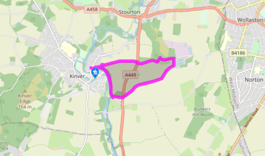
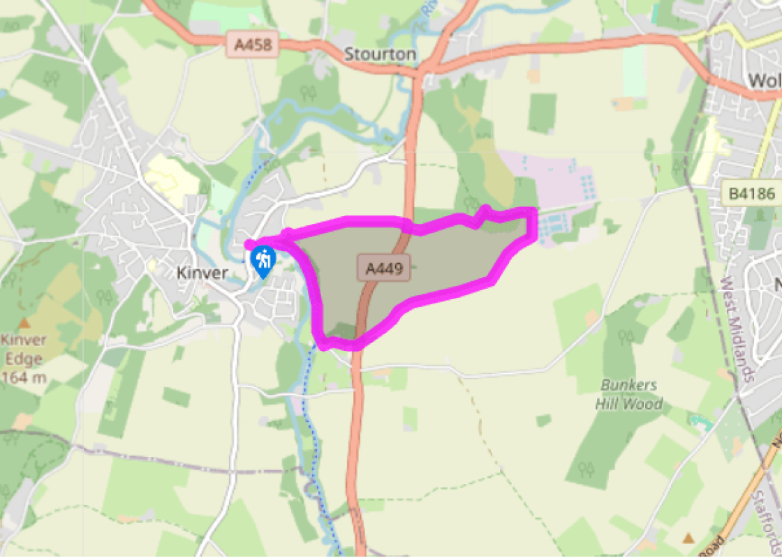
Additional information
Terrain
- Grass tracks, field paths, roads and dirt trails, many stiles
Landscape
- Field, meadow, woodland and canalside
Dog friendliness
- Keep on lead in all fields
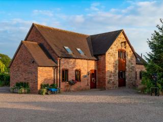
Parking
- Small car park at Kinver Lock; otherwise off Kinver High Street
Toilets en route
- None on route
About the walk
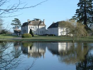
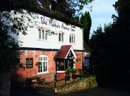
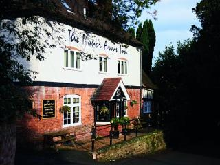
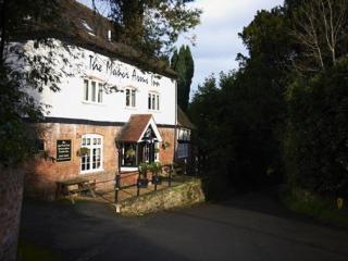
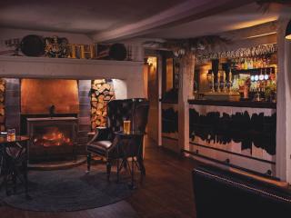
Given the part canals have played in the Staffordshire landscape over the past 250 years, it seems appropriate that the final walk in the book should include at least a short section of artificial waterway, even if it isn’t the walk’s highlight. It seems fitting too, that the Staffordshire and... Worcestershire Canal was designed and built under the apparently omnipotent eye of James Brindley, whose name is associated with so many of the walks in this volume, and who perhaps did more than any other single person to shape the landscape and fortune of the county. The Staffordshire and Worcester Canal was one of Brindley’s earliest projects; it was officially opened in 1772. Essentially, it was part of his so-called ‘Grand Cross’, a visionary scheme to connect all of the major ports (Bristol, Hull and Liverpool) by linking the Severn, the Trent and the Mersey. The canal begins at the River Severn before rising slowly to Aldersley Junction, near Wolverhampton, where it connects with the Shropshire Union Canal. It then continues as far as the Trent and Mersey Canal at Great Haywood near Shugborough. Its highlight has to be the three-tier lock at The Bratch, near Wombourne. Despite James Brindley’s best efforts, the highlight of this walk has to be the Manor House of Whittington, a timber-beamed house built in 1310 that now serves a very reasonable pint – and also has a handy selection of spirits. It was originally owned by Sir William de Whittington, then lord of Kinver, and grandfather of Dick Whittington, who became Lord Mayor of London. The house was later inherited by ancestors of Lady Jane Grey, who spent some of her childhood here, before her life was plunged into turmoil. She was fourth in line to the throne in Henry VIII’s will, but thanks to the scheming of her Protestant father-in-law, a royal advisor, she was crowned Queen ahead of Henry’s daughter Mary, who was Catholic. She ruled for just nine days, before Mary, with strong popular support, seized the throne and had her imprisoned in the Tower of London. Less than a year later, aged just 16, she was beheaded. During the reign of Mary’s successor, Queen Elizabeth I, Jane was celebrated as a Protestant martyr. Today, her ghost is said to still haunt the inn staircase. Meanwhile, the apparition of Dick Whittington has been spotted, in a black coach galloping soundlessly south towards Kidderminster.
Read more