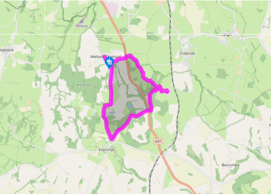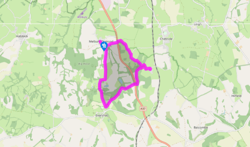
Melbury Loop
Recommended by

Walk directions
Walk down the street, cross the ford, and follow the road up past Townsend Dairy House. Across a cattle grid, take the straight estate road for almost a mile (1.6km) to Melbury House.
Before the house, at a cattle grid, turn right along the road around the outbuildings. It bends left over a cattle grid, then runs for another 0.75 miles (1.2km) through the park, up and over a hill. Cross a stile by a lion gateway.
View all directions
Additional information
Terrain
- Village lanes, estate tracks, farmland paths
Landscape
- Hills, valleys and parkland
Dog friendliness
- Keep dogs on leads in the park of Melbury House; some lifting over stiles may be necessary and there may be temporary electric fences
Parking
- By church, Melbury Osmond, signed off A37
Toilets en route
- None on route
About the walk
Melbury comes from two Old English words: ‘maele’, meaning multicoloured, and ‘burh’, meaning a fortified settlement. The three settlements may well be pre-Norman: Melbury Osmond is listed in the Domesday Book (1086). This first Melbury is a typical Dorset village. In Thomas Hardy’s The Woodlanders...
Read more

Been on this walk?
Send us photos or a comment about this route. Or recommend a route of your own.

Walking in Safety
Read our tips to look after yourself and the environment when following this walk.

Get an AA guide
Explore our range of ‘50 Walks in’ guides - they’re the ideal companion for a ramble.
Been on this walk?
Send us photos or a comment about this route. Or recommend a route of your own.
Walking in Safety
Read our tips to look after yourself and the environment when following this walk.
Get an AA guide
Explore our range of ‘50 Walks in’ guides - they’re the ideal companion for a ramble.
About the area
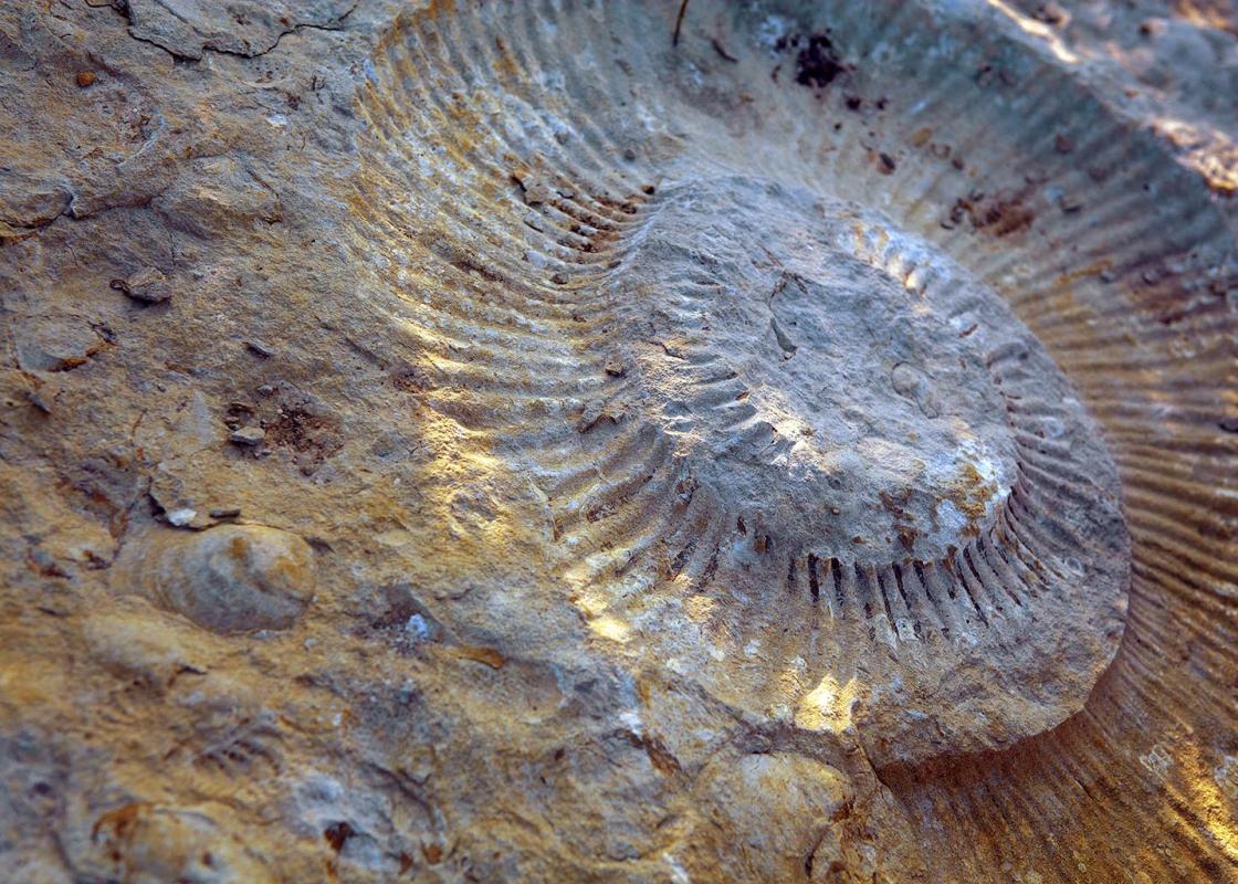
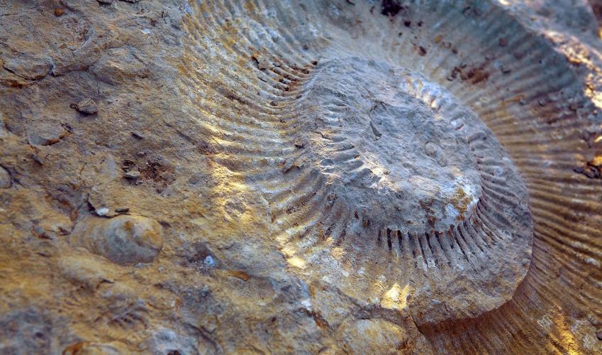
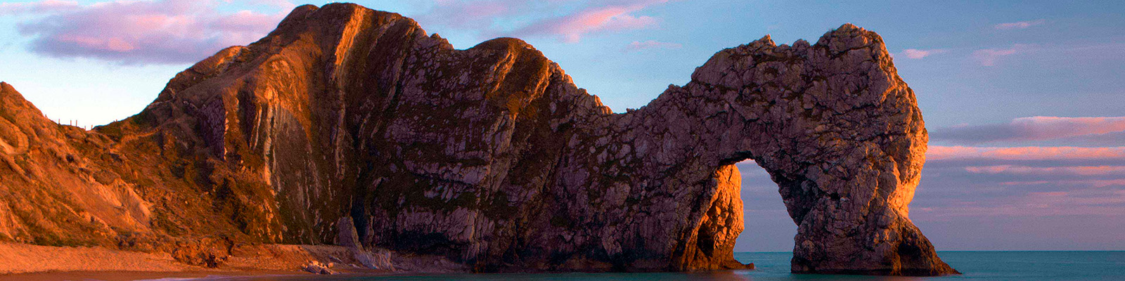
Dorset is made up of rugged coastlines, high chalk downlands and a chain of picturesque villages and seaside towns that make up Britain’s Jurassic Coast, a UNESCO World Heritage Site and Area of Outstanding Natural Beauty, noted for its layers of shale and numerous fossils embedded in the rock. Hidden gems of Dorset can be found down winding, country lanes that lead to snug villages hidden from view.
Nearby places to stay
View all (8)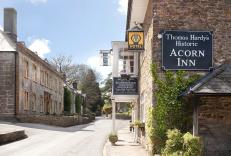


Nearby places to stay

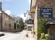
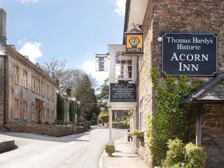
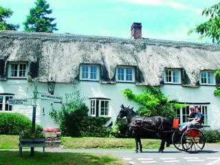
The Acorn Inn
The Acorn Inn, run by the enthusiastic and experienced management team of Natalie and Richard, is a traditional village pub full of life, laughter and good company, with an award-winnin...

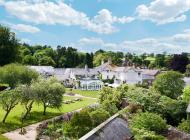
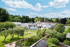
Summer Lodge Country House Hotel, Restaurant & Spa
This picturesque hotel is situated in the heart of Dorset and is the ideal retreat; it's worth arriving in time for the excellent afternoon tea. Bedrooms are appointed to a very high st...
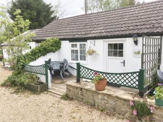
Otters Holt Lodge
Awaiting description...
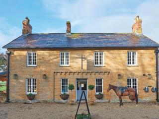
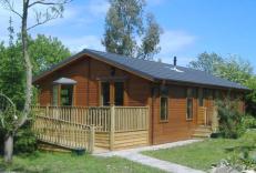
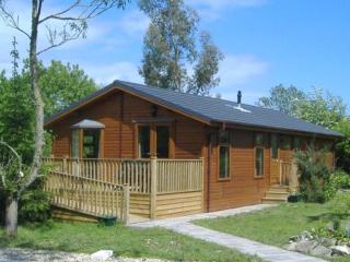
White Horse Farm
Located in the rural Dorset in the hamlet of Middlemarsh, near Sherborne, White Horse Farm comprises 4 barn cottages and a 3 bed roomed 4-star lodge cabin. They feature WiFi, BBQ, are d...
Toad Hall Cottage
Awaiting description...
Badger's Cottage
Awaiting description...
Ratty's Cottage
Awaiting description...
Moley's Cottage
Awaiting description...
Places to eat nearby View all