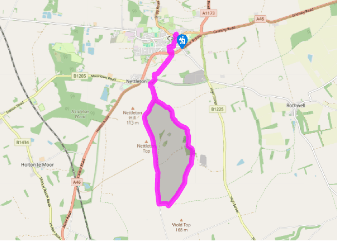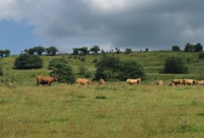
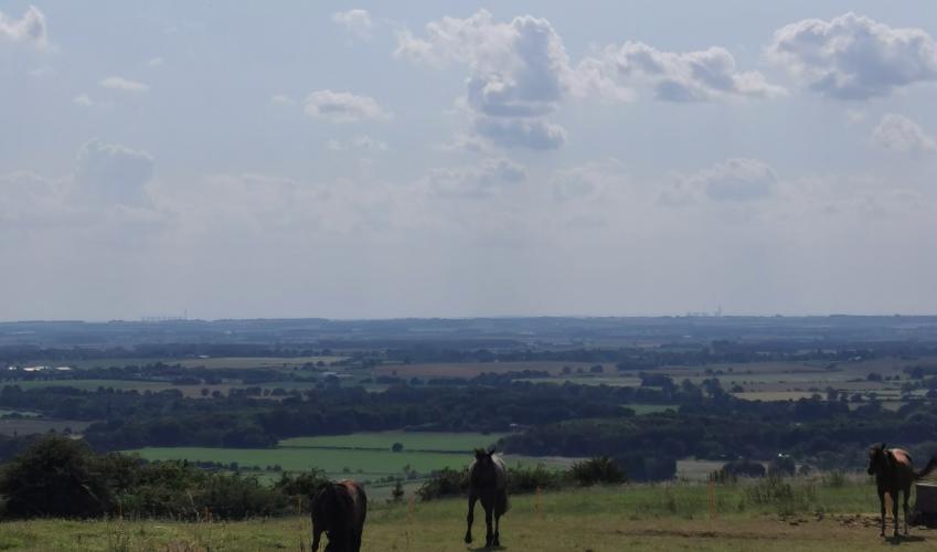
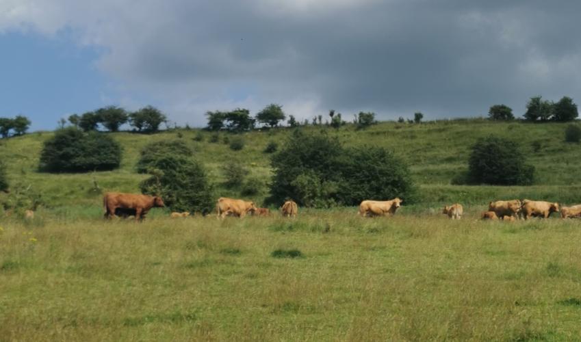
North Wold's geology
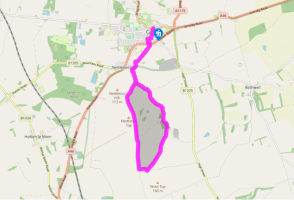
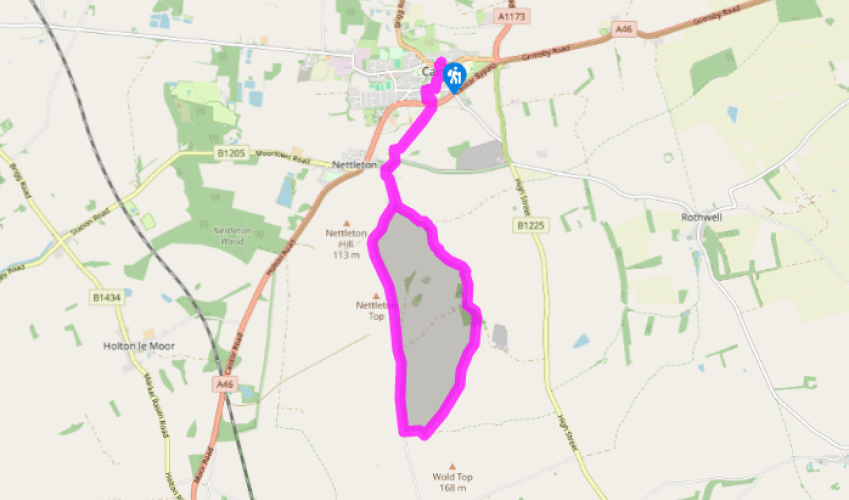
Walk down the ramp from the car park and cross the road to the Market Place, then continue straight ahead down Plough Hill. At the end continue, swinging right along Nettleton Road. When it becomes Richards Row, look for a footpath along a passageway between houses on the opposite side of the road. Now thread your way left through a small estate, all the time following the Viking helmet waymarks for the Viking Way.
Cross over Caistor bypass and go directly ahead through fields towards Nettleton, veering diagonally left in the last to skirt a modern bungalow. Turn right into the lane below, and walk to the junction in the middle of the village. Go left on Normanby Road. In a little over 0.25 miles (400m), leave the lane for a private drive on the left, indicated 'public bridleway', by a house called Hazeldene.

Been on this walk?
Send us photos or a comment about this route. Or recommend a route of your own.

Walking in Safety
Read our tips to look after yourself and the environment when following this walk.

Get an AA guide
Explore our range of ‘50 Walks in’ guides - they’re the ideal companion for a ramble.
Been on this walk?
Send us photos or a comment about this route. Or recommend a route of your own.
Walking in Safety
Read our tips to look after yourself and the environment when following this walk.
Get an AA guide
Explore our range of ‘50 Walks in’ guides - they’re the ideal companion for a ramble.
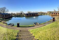
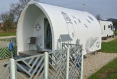
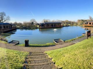
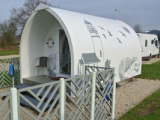
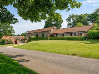
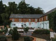
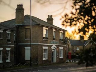
Nearby places to stay
View all (8)