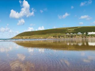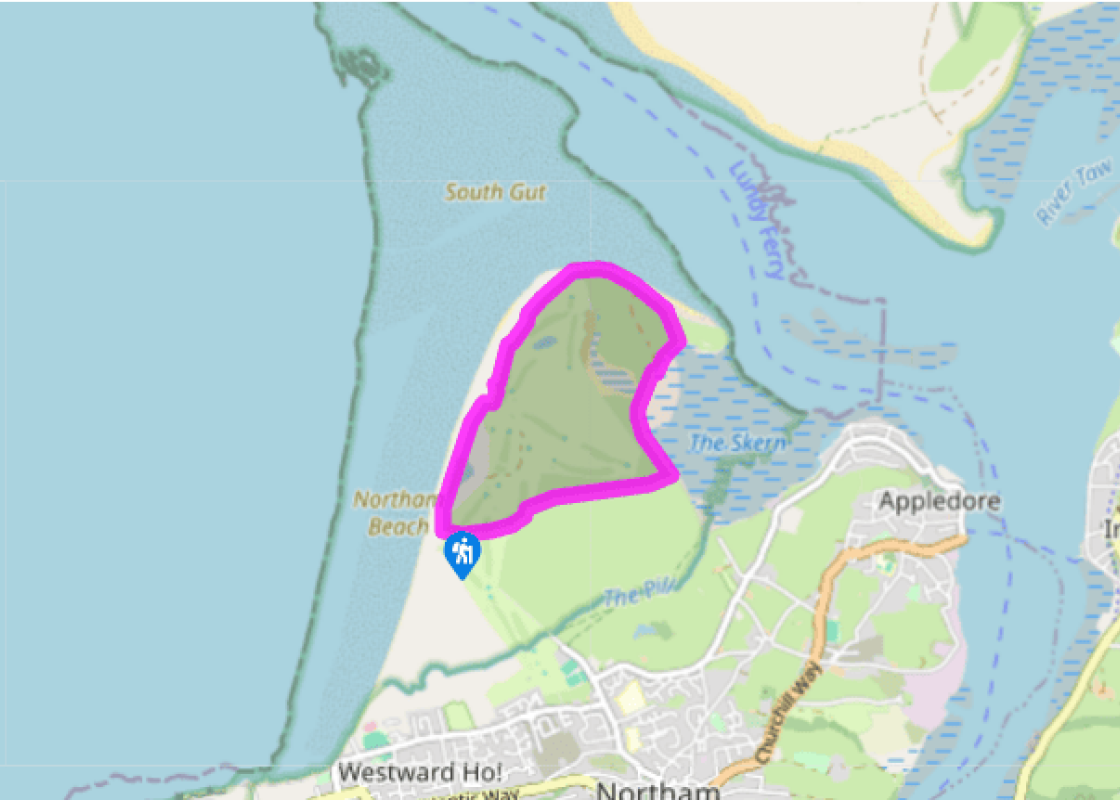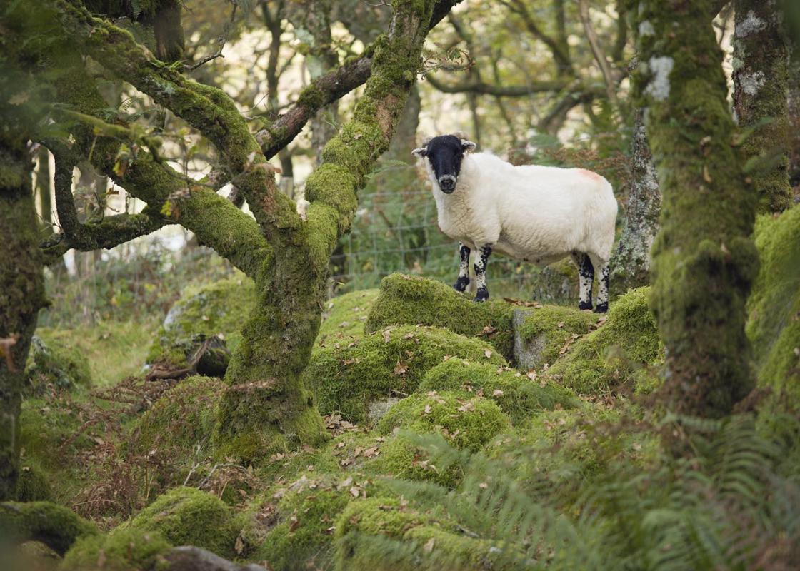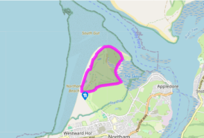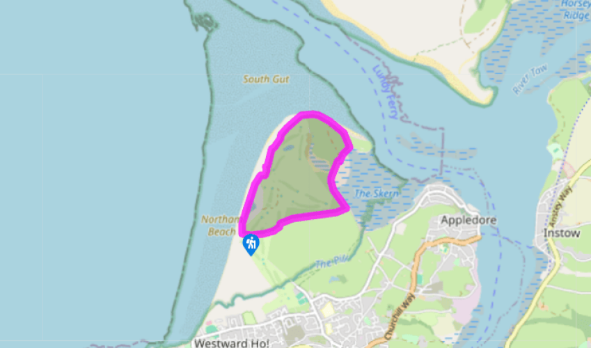
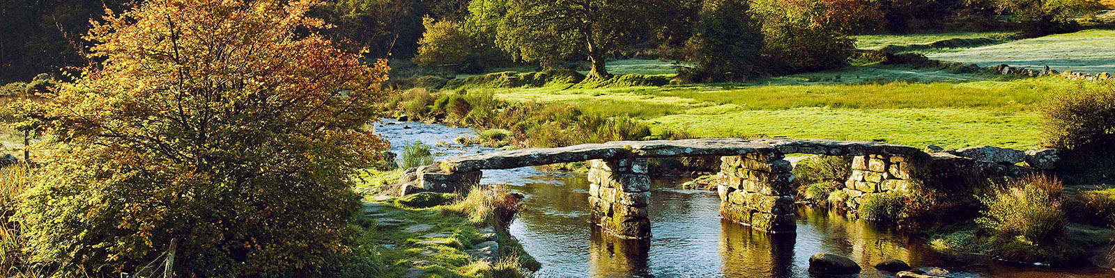
Northam Burrows Country Park
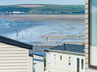
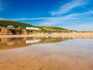
From the car park there’s a choice of two routes. At low tide cross the walkway over the pebble ridge by the information board, and turn right along the 2-mile (3.2km) long Westward Ho! beach, passing low dunes, with views towards Lundy (left). Past low sandy cliffs the ridge bears right; look for a gap in the dunes, beyond which you may spot a Coast Path post by the 6th hole on the Royal North Devon golf course. Alternatively, follow Coast Path signs along the track past Sandymere (a seasonal pool), then between the dunes and Burrows Centre, to reach the post. (The centre is open from Easter weekend to the end of October.)
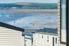
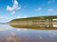
Pass through the dunes to reach the post, and turn left along the edge of the golf course, following yellow arrows past the 7th and 8th holes of the golf course and along the Taw–Torridge estuary, with views to Braunton Burrows. Cross a level grassy area, with views ahead to Appledore and Instow on the opposite bank of the Torridge.

Been on this walk?
Send us photos or a comment about this route. Or recommend a route of your own.

Walking in Safety
Read our tips to look after yourself and the environment when following this walk.

Get an AA guide
Explore our range of ‘50 Walks in’ guides - they’re the ideal companion for a ramble.
Been on this walk?
Send us photos or a comment about this route. Or recommend a route of your own.
Walking in Safety
Read our tips to look after yourself and the environment when following this walk.
Get an AA guide
Explore our range of ‘50 Walks in’ guides - they’re the ideal companion for a ramble.
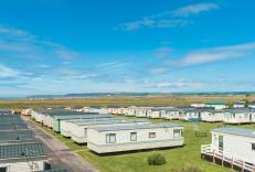
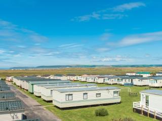
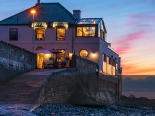
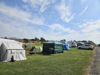
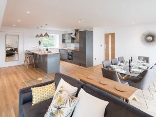
Nearby places to stay
View all (8)