
Pennine ways on Kinder Scout
Recommended by

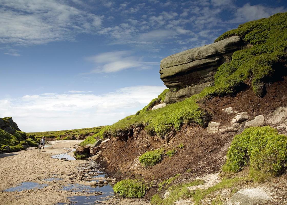
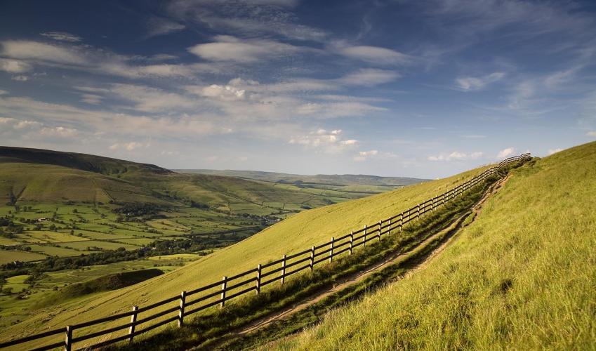
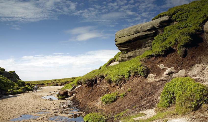
"Scramble to the top of gritstone outcrops on th edge of Kinder"
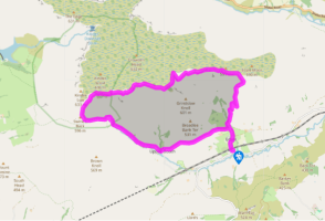
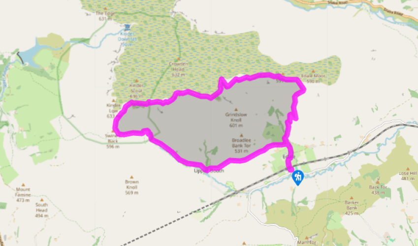
Walk directions
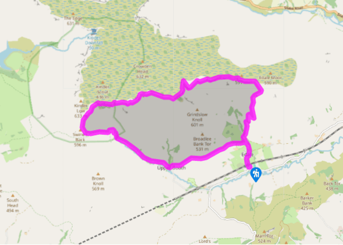
Exit the car park beside the public toilets and turn right on to the village road. Go under the railway bridge and through Edale, past The Old Nags Head pub. Eventually fork right at the gate to ‘The Gathering’ then across a footbridge over Grinds Brook.
Leave the main Grindsbrook Clough path by the side of a small barn, forking right to climb up the lower hillside to a gate on the edge of open country. Follow the path, which now zigzags above the valley then climbs above The Nab. Stick with the pitched path until it fades just below the rocks of Ringing Roger then fork right on to a faint rocky path to head more directly on to the ridgeline and summit of Ringing Roger.
View all directions
Additional information
Terrain
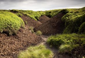
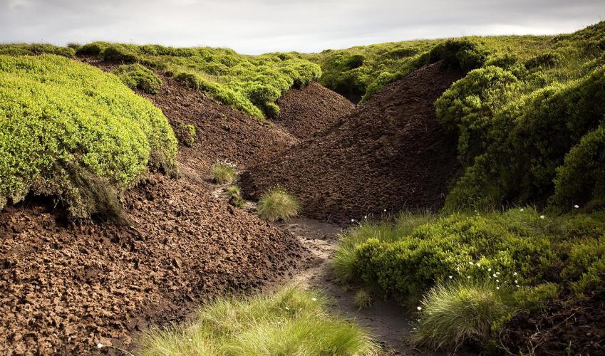
- Field paths and moorland tracks (mostly slabbed, but some peaty sections)
Landscape
- Rock and peat paths, some steep ascents and descents, occasional scrambly sections
Dog friendliness
- Walk is on farmland and access land, dogs should be kept on leads
Parking
- Edale pay car park
Toilets en route
- Edale car park and at Moorland centre
About the walk
In depression-torn 1930s England, Tom Stephenson, then secretary of the Ramblers’ Association, told the readers of the Daily Herald of his dream to create a long, green trail across the roof of England. This dream would bring Edale to the world’s attention. It took 30 years, a mass trespass and...
Read more

Been on this walk?
Send us photos or a comment about this route. Or recommend a route of your own.

Walking in Safety
Read our tips to look after yourself and the environment when following this walk.

Get an AA guide
Explore our range of ‘50 Walks in’ guides - they’re the ideal companion for a ramble.
Been on this walk?
Send us photos or a comment about this route. Or recommend a route of your own.
Walking in Safety
Read our tips to look after yourself and the environment when following this walk.
Get an AA guide
Explore our range of ‘50 Walks in’ guides - they’re the ideal companion for a ramble.
About the area
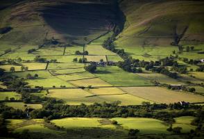
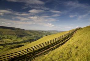
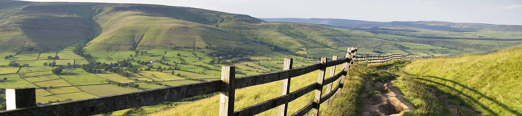
The natural features of this central English county range from the modest heights of the Peak District National Park, where Kinder Scout stands at 2,088 ft (636 m), to the depths of its remarkable underground caverns, floodlit to reveal exquisite Blue John stone. Walkers and cyclists will enjoy the High Peak Trail which extends from the Derwent Valley to the limestone plateau near Buxton, and for many, the spectacular scenery is what draws them to the area.
Nearby places to stay
View all (8)


Nearby places to stay
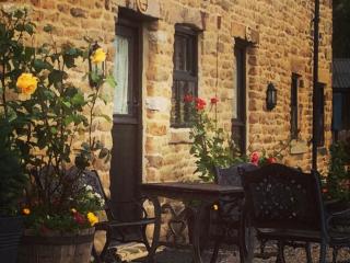
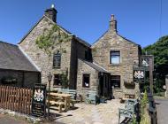
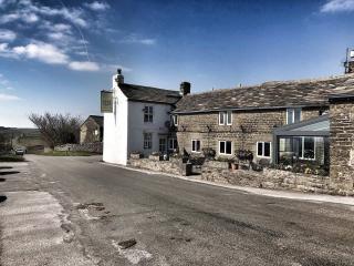
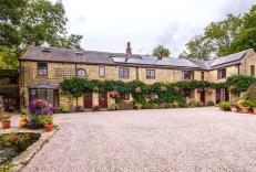
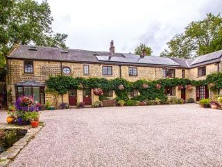
Riding House Farm Cottages
Riding House Farm offers Shepherd's Cottage and Milkmaid's Cottage. This working farm is 140 acres, and guests can see lambs in spring, visit the calf house and feed the hens. There is ...
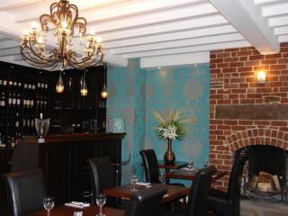
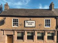
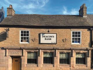
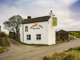
Ye Olde Nags Head
In the village centre, this 17th-century coaching inn has furnished its bedrooms, some with four-posters, all with antiques. Days out in the High Peak, especially for walkers and cyclis...
Underleigh House
Comfort, charm and a traditional atmosphere all contribute to a relaxing break in Underleigh House, an award-winning and quintessentially English B&B. In a fantastic Peak District locat...
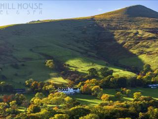
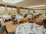
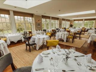
Losehill House Hotel
Situated down a quiet leafy lane, this hotel occupies a secluded spot in the Peak District National Park. Bedrooms are comfortable and beautifully appointed. The outdoor hot tub, with s...
The Acorn
Awaiting description...
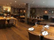
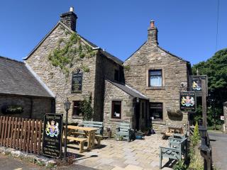
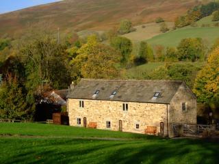
The Barn at Mead Farm
The Barn is set in the heart of the beautiful Peak District countryside and has been lovingly rebuilt in the original stone to reflect its history yet incorporating all modern comforts....

The Oaks
Awaiting description...
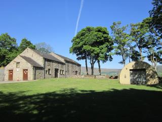
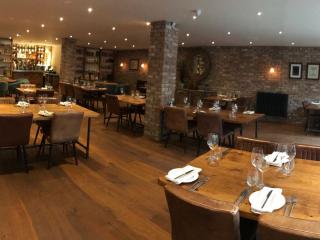
Pindale Farm Outdoor Centre
Set around a 13th-century farmhouse and a former lead mine pump house (now converted to a self-contained bunkhouse accommodating up to 60 people), this simple, off-the-beaten-track site...
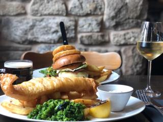
Places to eat nearby View all