Additional information
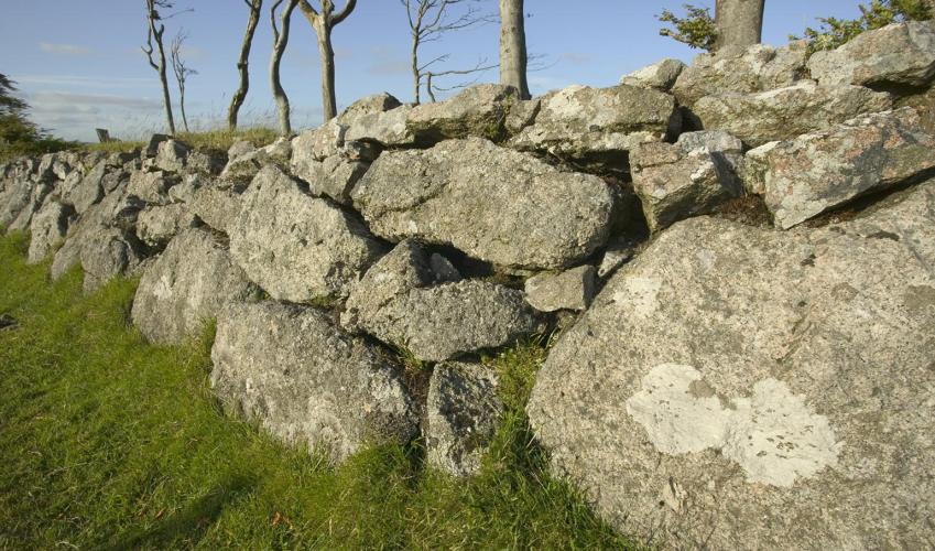
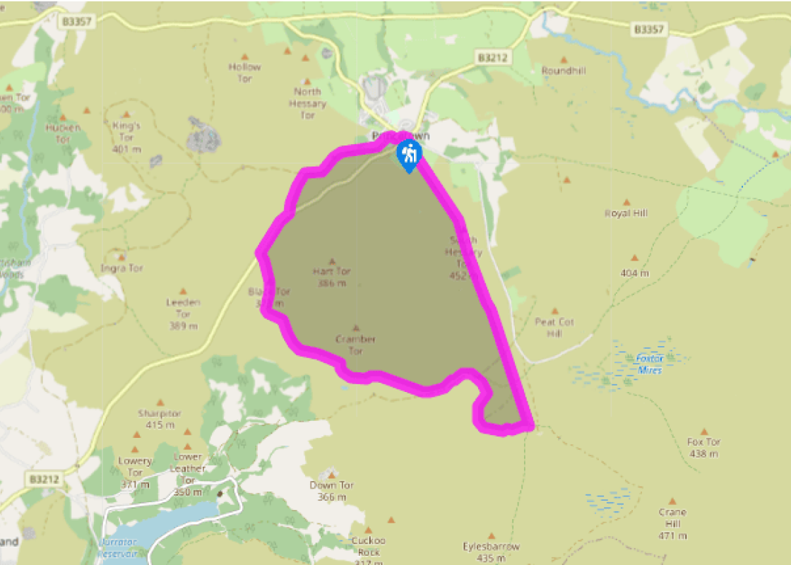
Terrain
- Tracks, leat-side paths and rough moorland
Landscape
- Open moorland
Dog friendliness
- Keep on lead around livestock and birds
Parking
- Car park behind National Park Visitor Centre
Toilets en route
- By car park (fee)
About the walk
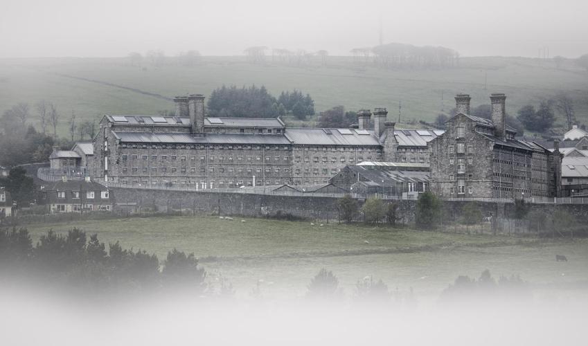
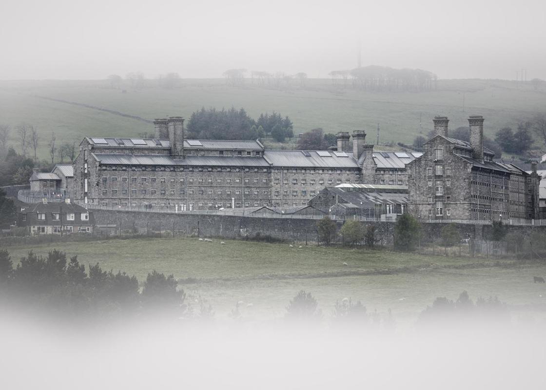
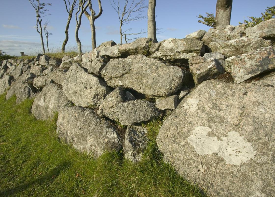
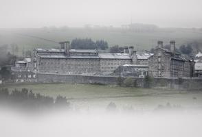
Princetown, 1,395ft (425m) above sea level, was founded by Sir Thomas Tyrwhitt in the late 18th century, and named in honour of the Prince Regent, to whom he was both a friend and private secretary. Tyrwhitt persuaded the government to build a prison here for French prisoners from the Napoleonic... wars. Building work started in 1806, and the first prisoners were in situ by 1809, joined by Americans in 1813. At one time 7,000 men were held. Closed in 1813, the prison reopened in 1850 as a civilian establishment, which it remains to this day – a monumental building, best seen from the Two Bridges to Tavistock road, to the north of the town. There is mention of the ancient landmark of Nun’s Cross (or Siward’s Cross) as early as 1280, in documents concerning ownership of Buckland Abbey lands. Over 7ft (2.1m) high, it stands on the route of the Abbot’s Way – between Buckfast Abbey and Tavistock. The word ‘Siward’ engraved on its eastern face may refer to the Earl of Northumberland who owned much land in this part of the country in Saxon times, or may indicate some connection to a family named Siward who lived nearby. ‘Bocland’ on the other face may be a reference to Buckland Abbey. The word ‘Nun’s’ comes from the Celtic nans, meaning combe or valley. The Devonport Leat is an amazing feat of engineering, carried out between 1793 and 1801 to improve water supplies to Devonport, now part of Plymouth, which at that time was being developed as a naval base. Originally 26.5 miles (43km) long, it carried 2 million gallons (9 million litres) of water a day. Lined with granite slabs and conveying crystal-clear, fast flowing water, today it provides an extremely attractive, level walking route through some otherwise fairly inhospitable terrain. The final part of the walk, back to Princetown, follows the abandoned railway track that Tyrwhitt planned to link Princetown with Plymouth. The line, the first iron railway in the county, opened in 1823. More of a tramway than a railway, the horse-drawn wagons carried coal and lime up from Plymouth, and took stone back. Sixty years later it re-opened as a steam railway but eventually closed in 1956.
Read more
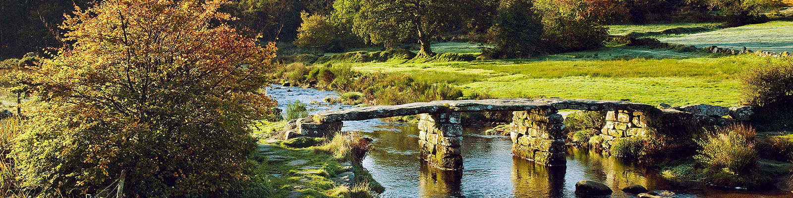
Devon
Devon sums up all that is best about the British landscape, with its magnificent coastlines, two historic cities, the world-famous Dartmoor National Park and south Devon’s glorious English Riviera. A fashionable and much-loved holiday destination, hiking and cycling in the National Parks is extremely popular among visitors, with a great choice of off-road routes.