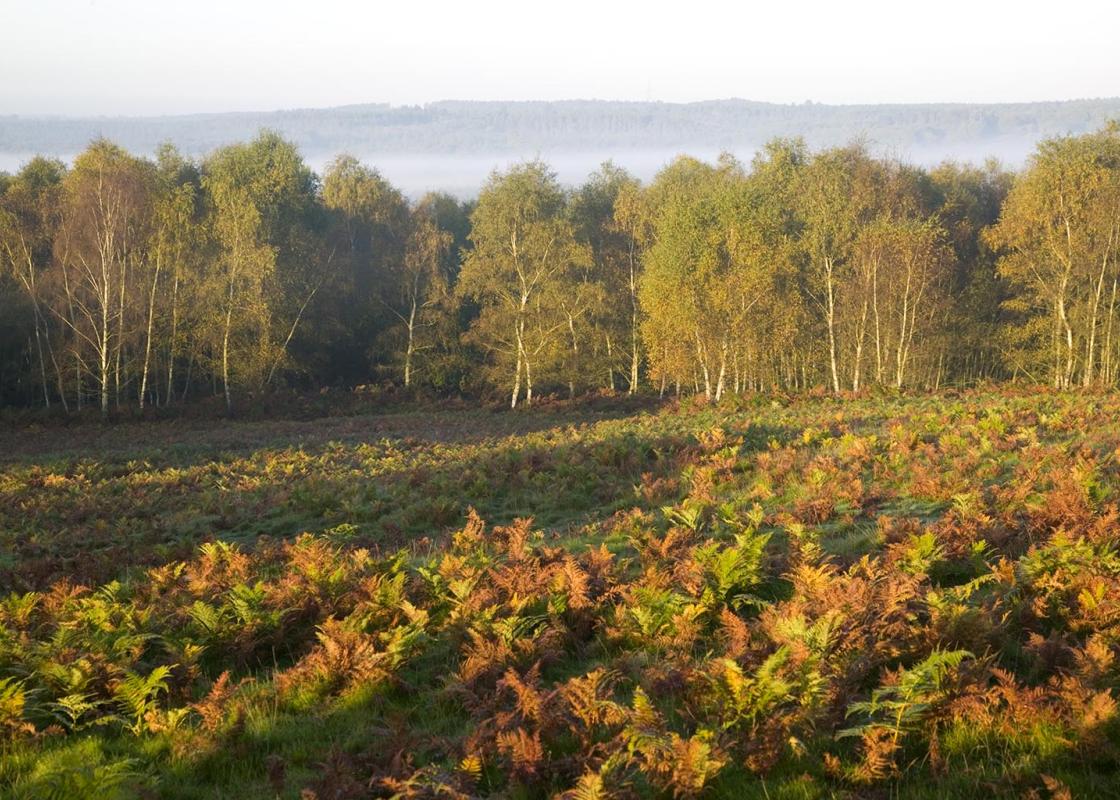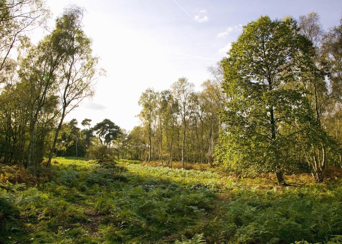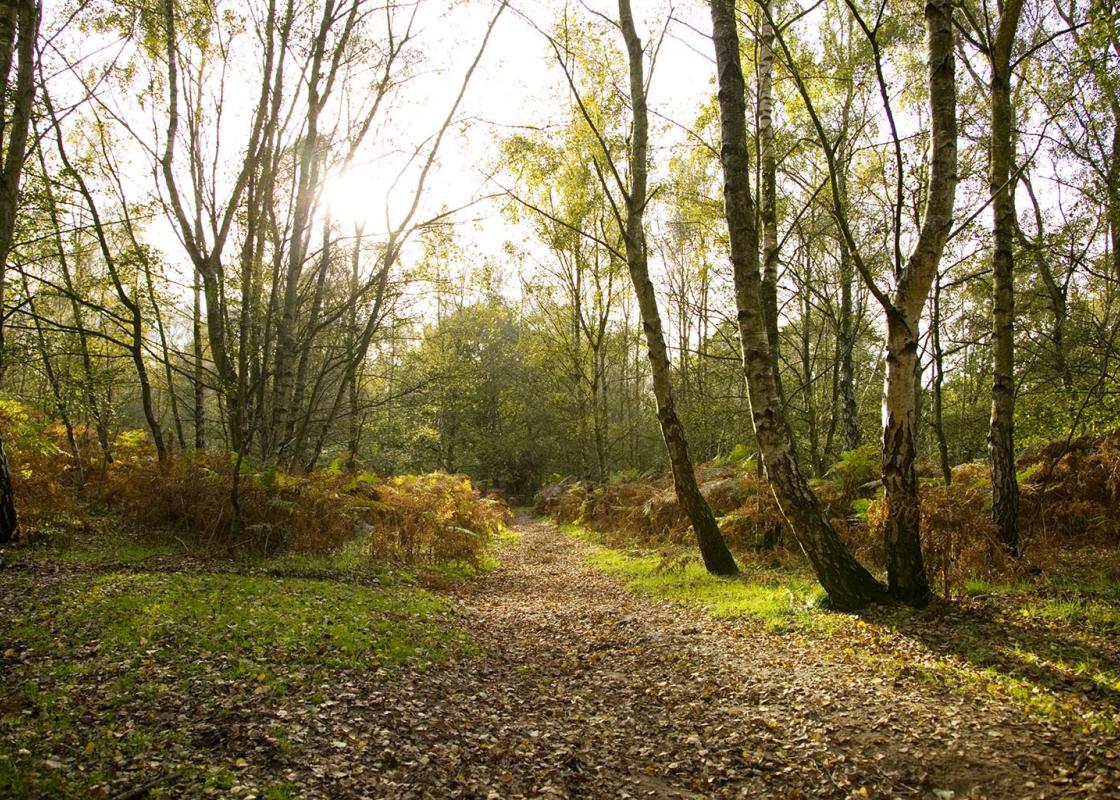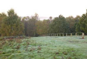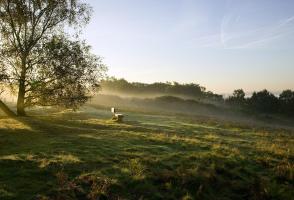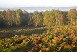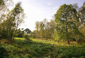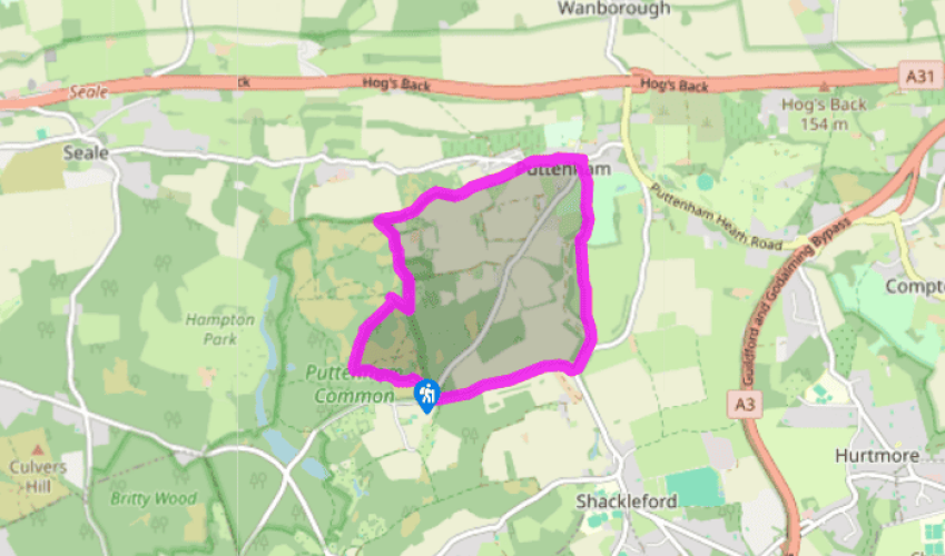
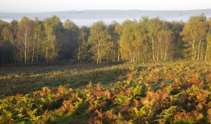
Puttenham Common and Puttenham
Recommended by

"A varied walk in the shadow of the Hog's Back, taking in a section of the North Down's Way"
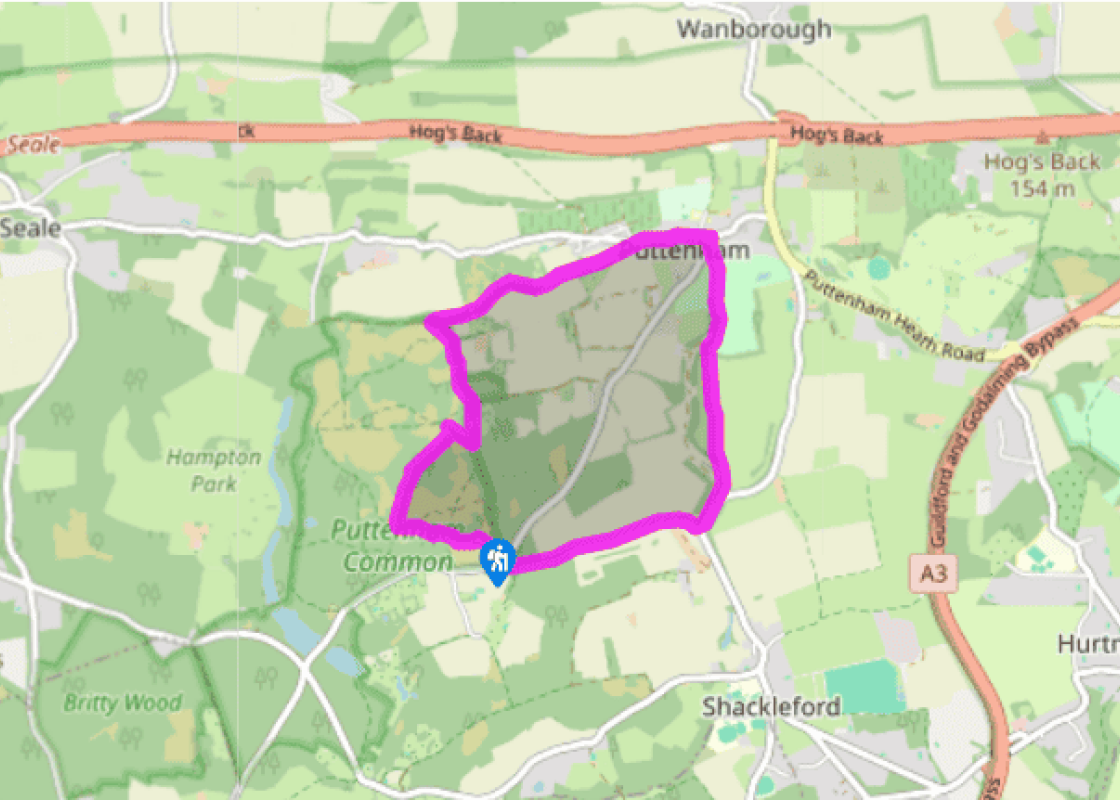
Walk directions
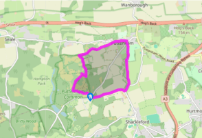
Facing the view from the car park, take the right-hand path, beside a litter bin, to drop down into the trees on a series of wide steps. At the bottom, take the first right and then left at the cross-tracks a few paces further on. Dodge in and out of the trees with a wide open area to your right.
At a five-way junction, just within the trees, turn right up a rough avenue of oak trees. At the next cross-tracks continue ahead, and the sandy track becomes grassy. At the next junction, fork left down an overgrown path. The path descends, and then turns left; and, at a bridleway marker, turn right up a sunken path to emerge opposite a four-way fingerpost beneath telephone lines. Turn left and at the first telegraph pole turn right. Pass a wooden barrier and, on reaching a gravel driveway, turn left. Pass two houses and rise up a slope beneath telephone lines, and follow them ahead. When the lines turn right, continue ahead passing Lascombe House on the right. Go onto the common, straight ahead to meet the North Downs Way.
View all directions
Additional information
Terrain
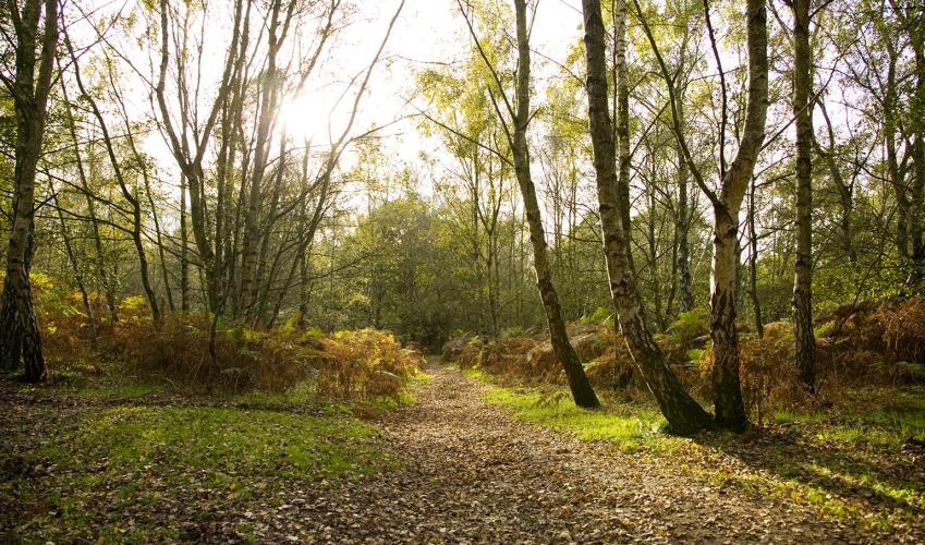
- Woodland tracks and field-edge paths, 4 stiles
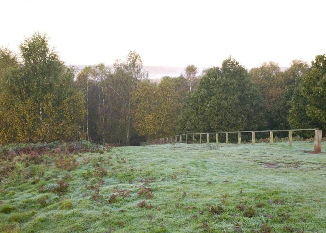
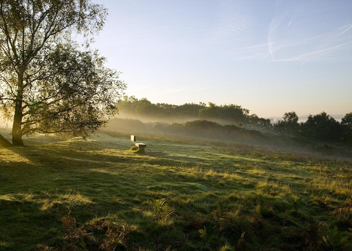
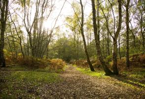
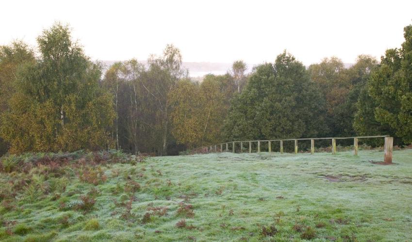
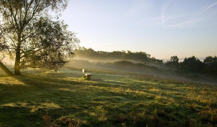
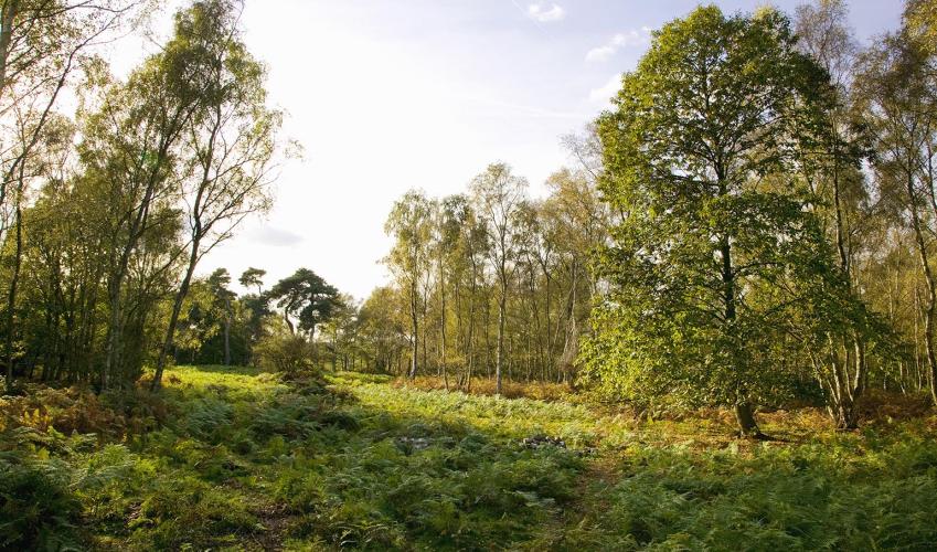
Landscape
- Wooded heath and farmland
Dog friendliness
- Can run free on Puttenham Common, lead required in village and over farmland
Parking
- Puttenham Common top car park, on Suffield Lane
Toilets en route
- None on route
About the walk
The railway line no longer runs to Hayfield, high in the Derbyshire Peak District, the little station where people gathered for the mass trespass on Kinder Scout in 1932. The 1930s saw an explosion of interest in walking, and the Kinder Scout trespass was a landmark along the way to the legislation...
Read more

Been on this walk?
Send us photos or a comment about this route. Or recommend a route of your own.

Walking in Safety
Read our tips to look after yourself and the environment when following this walk.

Get an AA guide
Explore our range of ‘50 Walks in’ guides - they’re the ideal companion for a ramble.
Been on this walk?
Send us photos or a comment about this route. Or recommend a route of your own.
Walking in Safety
Read our tips to look after yourself and the environment when following this walk.
Get an AA guide
Explore our range of ‘50 Walks in’ guides - they’re the ideal companion for a ramble.
About the area
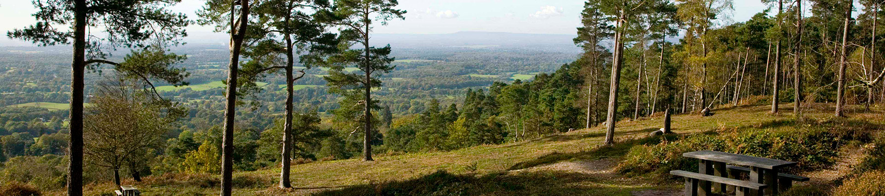
Surrey is one of England’s most wooded counties, with over a quarter of the landscape designated as an official AONB and plenty of history evident in the countryside. You’ll find sandy tracks, cottage gardens and welcoming village inns, and on the fringe of Greater London you can picnic in Chaldon’s hay meadows, explore the downs at Epsom, or drift idly beside the River Thames.
Nearby places to stay
View all (8)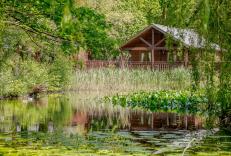


Nearby places to stay
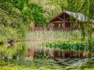
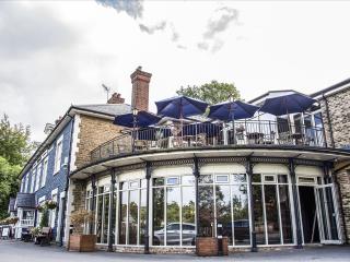
Tilford Woods Lodge Retreat
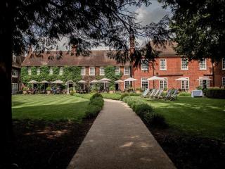
Retreat to the woods when you stay in one of the log cabin style lodges at Tilford Woods. All accommodation features full self-catering facilities, with top of the range log cabins even...

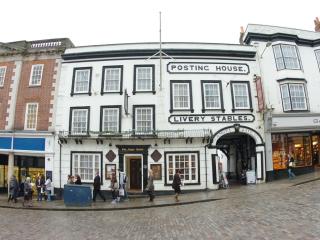
King’s Arms & Royal
The King's Arms and Royal is in the town of Godalming, and was first mentioned in 1639. Nestled between the Surrey Hills AONB and the South Downs National Park, this charming property w...
Bush Hotel Farnham
The Bush is an independent hotel that has been welcoming guests since 1618. Steeped in history but embracing contemporary design, it is situated in the heart of Farnham’s historic town ...
The Angel
On the high street, in the heart of Guildford and within the popular Angel Gate area with its shops and restaurants, this historic property features a range of rooms including spacious ...

Guildford Harbour Hotel
Not far from the high street, Guildford Harbour Hotel offers a comfortable and luxurious environment. Bedrooms are well appointed and corporate events are a specialty. The two restauran...

The Mandolay Hotel
Ideally located near the heart of Guildford, The Mandolay Hotel combines contemporary style with comfort and convenience. All bedrooms are thoughtfully designed with modern amenities, i...

Asperion Hillside Hotel
Asperion Hillside Hotel is conveniently located for access to Guildford and Woking as well as Heathrow and Gatwick Airports. There's on-site parking, and the comfortable bedrooms have m...
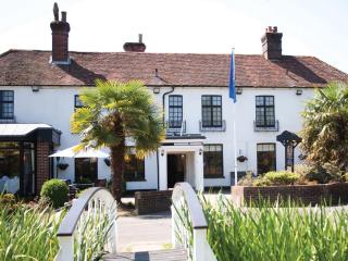
Frensham Pond Country House Hotel & Spa
Situated in an Area of Outstanding Natural Beauty, overlooking Frensham Great Pond this is a walker’s and water-lover’s paradise close to footpaths that run through the 1,000-acre Natio...
Places to eat nearby View all