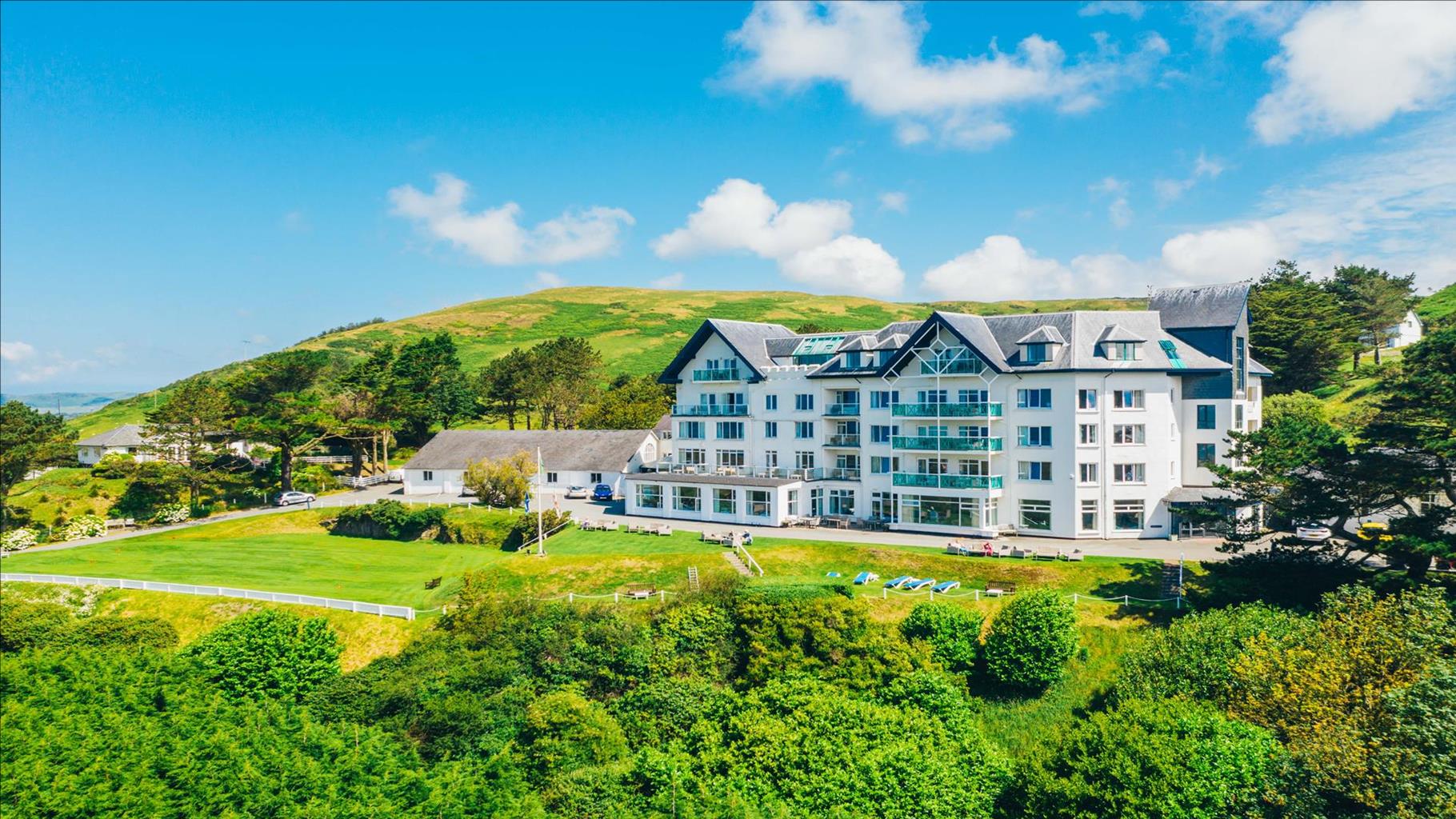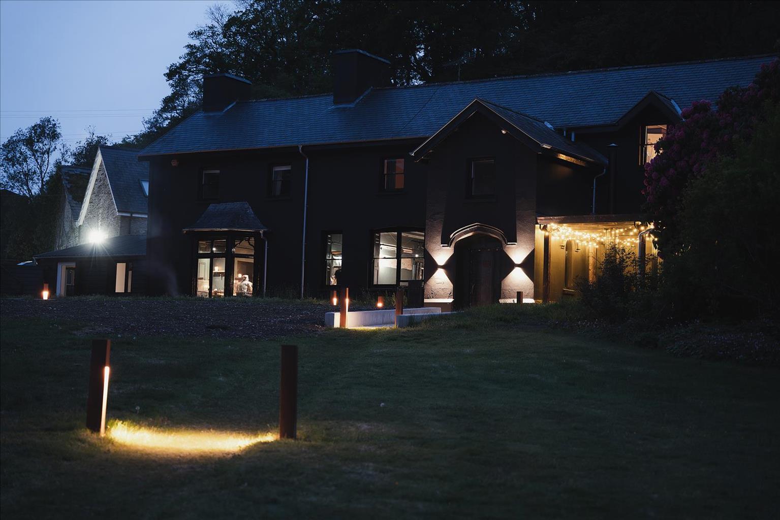


Ynyshir Restaurant and Rooms
Set in beautifully landscaped grounds and surrounded by the RSPB Ynys-hir Nature Reserve,…

Pumlumon
7.3 miles (11.7kms)
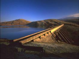
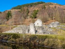
The phrase ‘sodden weariness’ has often been quoted by writers trying to describe Pumlumon and its environs. The description is unfair and used only by those who do not know the area very well. There are secrets to enjoying Pumlumon. Approach it from the north and you see the best of its crags and cwms, and you’ll experience the feeling of remoteness. This lower-level route begins by the shores of Nant-y-moch Reservoir and sets out to discover an ice-scooped corrie reminiscent of those found in northern Snowdonia. Nant-ymoch Reservoir was constructed in 1961. The water from the Nant-y-moch and Dinas reservoirs are pumped to the Rheidol hydroelectric power station to the south. Items rescued from a farm and chapel that were submerged by the lake can be seen at the visitor centre in Cwm Rheidol.
Early on in the walk you pass beneath the rocks of Bryn y Beddau, a rather unremarkable piece of quarried moorland. But the name means ‘hill of the graves’, and therein lies a story. In 1401 the troops of Owain Glyndwr met those supporting the English King Henry IV, on the northern slopes of Pumlumon. Glyndwr had only 400 men, the English had 1,500. The Welsh troops were hemmed in on all sides. The scene was set for the famous Battle of Nant Hyddgant. The Welshmen realised they would have to fight like fury or die. Many did both. They lost 200 fighters but in the process a famous victory was theirs. The battle gained Glyndwr a considerable following among his countrymen – one which would sweep him to power and help him to the title of Prince of Wales. The dead from the battle were buried here at Bryn y Beddau.
Llyn Llygad Rheidol is a natural tarn, but unfortunately it was dammed and enlarged to supply water to Aberystwyth. Nevertheless this place retains its beauty, especially on a day when the air is still and those crags reflect perfectly in glass-like waters. On the return journey you’ll be looking downstream and towards the Hyddgen Valley that stretches away to the north.
Desolate and uninhabited these days, it is the site of a tragic tale of a shepherd who was caught in a violent blizzard. His wife was alarmed when his horse returned alone. She took a lamp, for it was now dark, and went in search. Eventually she found him unconscious and tried in vain to drag him back homebut sadly both died on that ferocious night. It is said that at the end of each day a light can be seen, wavering as it travels from the valley to the spot where the shepherd fell.
From the parking area by Nant-y-moch Reservoir, walk up the road away from the dam, after passing the through two gates, take the left-hand turn. The road descends to cross the streams of Nant Maesnant-fach and Nant-y-moch before traversing rough moorland along the east shores of Nant-y-moch Reservoir. The reservoir, stocked with native brown trout, is popular with anglers during the season.
Beneath the quarried rocks of Bryn y Beddau, a rubble track on the righthand side of the road, just after a cattle grid, doubles back up the hillside then swings round to the left. The steep sides of Pumlumon now soar away to the skyline on your right, with the little stream of Maesnant tumbling down them. Follow the track which climbs further, then levels out to pass some shallow lakes, which lie above the rocks of Fainc Ddu Uchaf. Now high above the bare valleys of the Hyddgen and Hengwm, the track swings south beneath crags of Pumlumon Fach to arrive at Llyn Llygad Rheidol’s dam.
To get to the footpath along the other side you’ll have to ford the stream a short way downhill – take care if the stream is flooded. The path, which runs above and parallel to the eastern banks of the stream, is sketchy in places, especially where you ford a side stream. It descends peaty terrain where mosses and moor grasses proliferate.
When you reach a small stand of conifers in the Hengwm Valley, turn left to follow an old cart track which fords the Nant y Llyn, close to its confluence with the Afon Hengwm. Ford the stream, ignoring a track that comes from the right. Continue uphill, to pass a derelict building. The track swings to the southwest and passes between the squat cliffs of Fainc Ddu Uchaf and the western shores of Nant-y-moch Reservoir.
Go through two gates above some abandoned buildings at Maes Nant and continue along the tarmac lane, rejoining the outward route. Return to the car park at the start of the walk.
Good track up, sketchy return path
Wild moorland
Dogs must be on leads when livestock are in fields
OS Explorer 213 Aberystwyth & Cwm Rheidol
Large free car parking area next to Nant-y-moch dam
None on route
Read our tips to look after yourself and the environment when following this walk.
The name ‘Ceredigion’ takes a bit of explanation. The town of Cardigan gives its name to the surrounding bay, but the county now uses the Welsh word for Cardiganshire – Ceredigion, pronounced with a ‘dig’. Cardigan Bay itself is a large inlet of the Irish Sea and stretches from Bardsey Island to Strumble Head. With many beaches and a unique marine life, it’s the place to come to spot bottlenose dolphins, porpoises and Atlantic grey seals. The area is a Special Area of Conservation (SAC), designated under European law to protect its species and habitats. The Ceredigion coastal path is also a major attraction.
Much of the surrounding land is fertile farmland, dotted with towns and seaside resorts such as Fishguard, New Quay, Aberaeron, Aberystwyth, Borth, Aberdyfi, Barmouth and Porthmadog. It’s also a section of coast that major rivers flow into, including the Afon Glaslyn, Teifi, Rheidol, Dyfi, Aeron, Dysynni and Mawddach. Historically, the area supported a strong maritime industry. Cardigan was a major hub, once having more than 300 ships registered in its port, seven times as many as Cardiff. Due to being something of a backwater, in many ways this area remains charmingly unspoilt. The nearby heather-clad Preseli Hills are an additional delight.
Discover more than 15,000 professionally rated places to stay, eat and visit from across the UK and Ireland.
Choose a place to stay safe in the knowledge that it has been expertly assessed by trained assessors.
Search by location or the type of place you're visiting to find your next ideal holiday experience.
Read our articles, city guides and recommended things to do for inspiration. We're here to help you explore the UK.