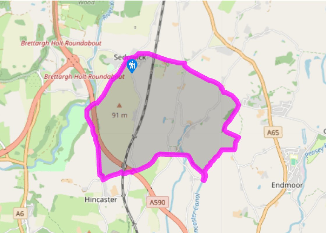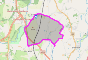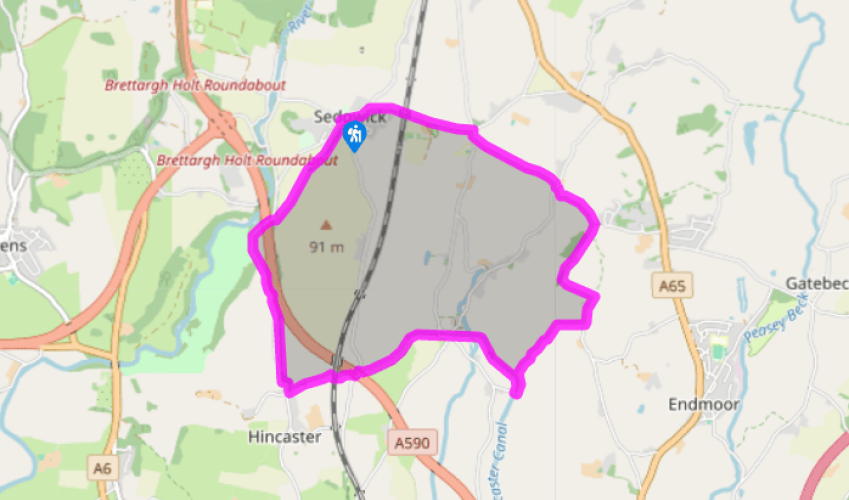
Sedgwick and the Lancaster Canal
Recommended by

"In the 18th century engineers tunnelled through a hill to bring the Lancaster Canal past a gunpowder factory."
Walk directions
From the canal aqueduct, walk gently uphill as far as the second junction by Carex Farm and turn right. Just before Crosscrake church go right again, signed ‘Stainton Cross’.
Leave through the first gate on the left, and cross to a stile in the far right corner of the field. Follow the left-hand hedge to a second stile. Beyond the crest, drop to cross Stainton Beck by a farm, then exit to a lane.
View all directions
Additional information
Terrain
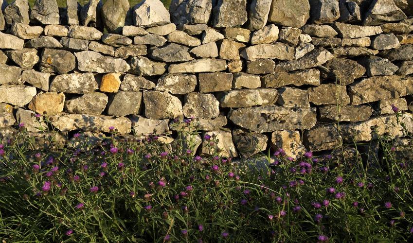
- Field paths, tow paths and some quiet lanes, many stiles
Landscape
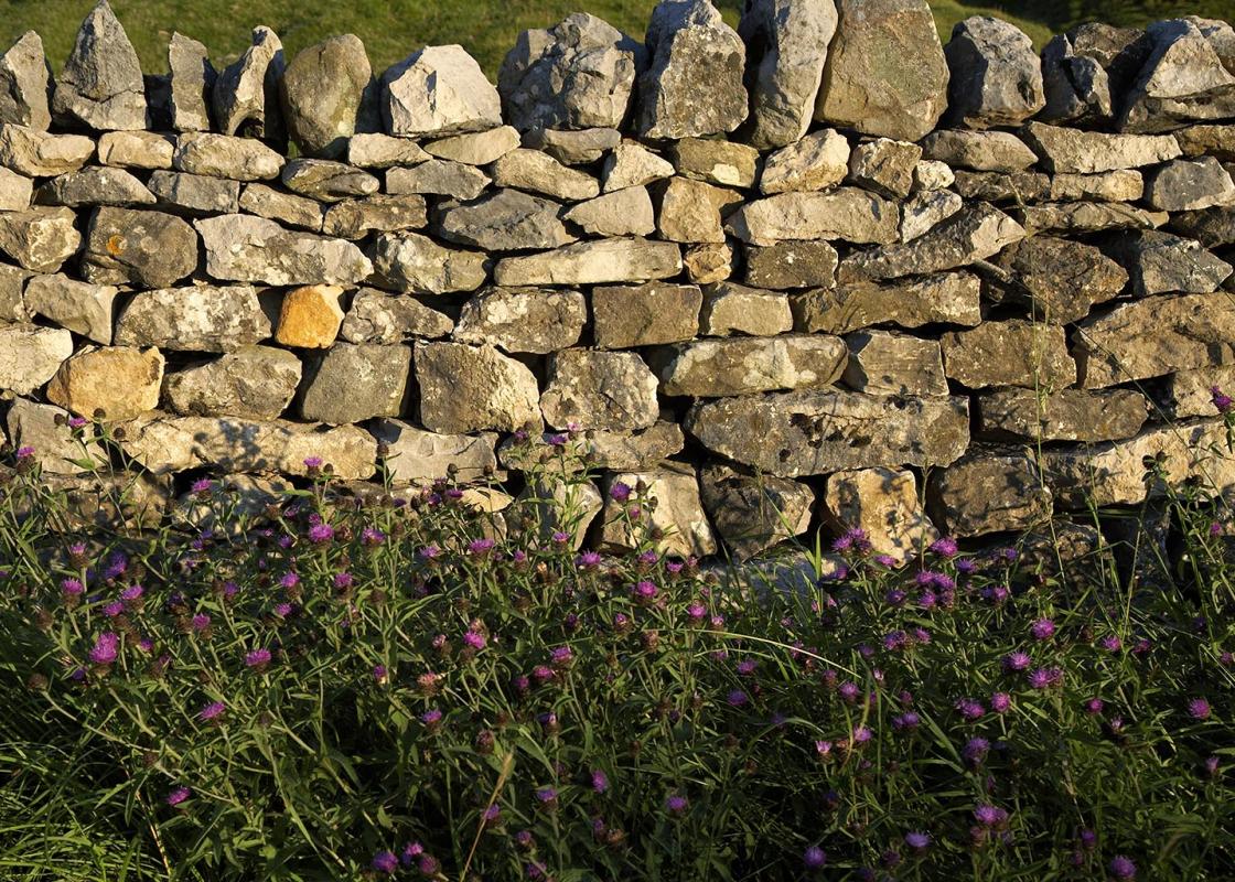
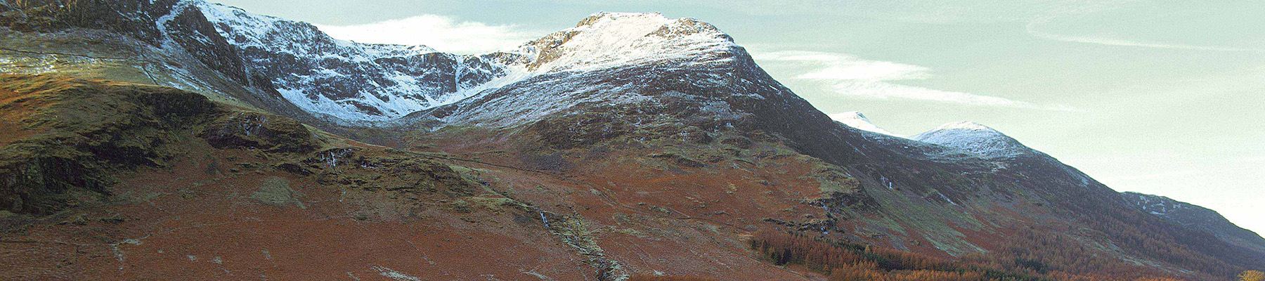
- Grazing fields cover rolling landscape, distant hills
Dog friendliness
- On lead along lanes and where livestock are grazing
Parking
- Roadside parking in Sedgwick
Toilets en route
- None on route
About the walk
The 18th century saw the beginnings of industrialisation in Britain, when machines were invented that performed the labour of umpteen people. Nowhere was the transformation more startling than in the textile industries, where large, water-powered mills replaced an age-old tradition of home...
Read more

Been on this walk?
Send us photos or a comment about this route. Or recommend a route of your own.

Walking in Safety
Read our tips to look after yourself and the environment when following this walk.

Get an AA guide
Explore our range of ‘50 Walks in’ guides - they’re the ideal companion for a ramble.
Been on this walk?
Send us photos or a comment about this route. Or recommend a route of your own.
Walking in Safety
Read our tips to look after yourself and the environment when following this walk.
Get an AA guide
Explore our range of ‘50 Walks in’ guides - they’re the ideal companion for a ramble.
About the area
Cumbria's rugged yet beautiful landscape is best known for the Lake District National Park that sits within its boundaries. It’s famous for Lake Windermere, England’s largest lake, and Derwent Water, ‘Queen of the English Lakes', but other lesser-known areas in the south, such as the Lune Valley and the coastal towns, are secret gems of wide cobbled streets and rolling hills.
Nearby places to stay
View all (8)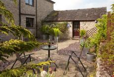


Nearby places to stay
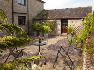
Birslack Cottage
In the sleepy village of Levens, this romantic cottage with private garden set within the grounds of the owner’s home commands panoramic views of beautiful country. Just nine miles from...
Birslack Cottage
In the sleepy village of Levens, this romantic cottage with private garden set within the grounds of the owner’s home commands panoramic views of beautiful country. Just nine miles from...
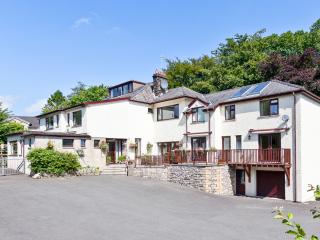
The Glen Guest House
The Glen is a friendly, family-run bed and breakfast with an outstanding reputation for warm and friendly service, comfortable accommodation and freshly cooked breakfasts using quality ...
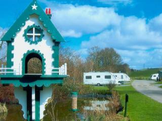
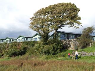
Waters Edge Caravan Park
A truly lovely site bordered by streams and woodland. Despite being an oasis of calm, the site is just a short distance from the M6 and is ideal either as a stopover or for longer stays...
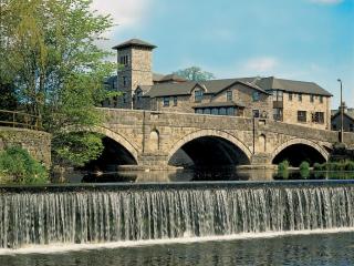
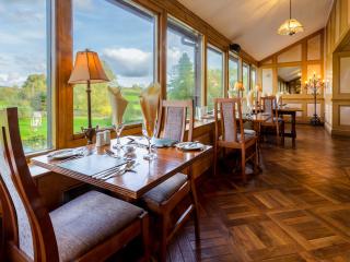
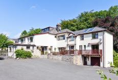
Riverside Hotel
Covering five floors in a converted 18th-century tannery by the River Kent, Riverside Hotel is close to the 12th-century Kendal Castle, and the town centre. Facilities include a fully-e...
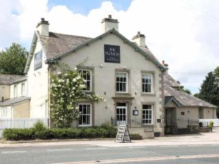
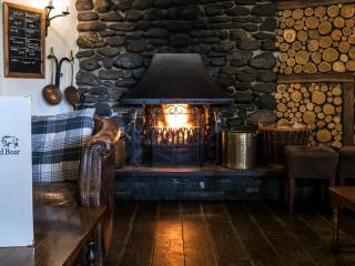
Plough Inn
This delightful inn is well situated, ideal for exploring all parts the Cumbrian and Yorkshire countryside. The public areas are spacious, open plan and comfortable and blend modernity ...
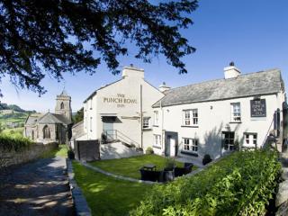
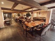
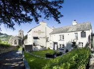
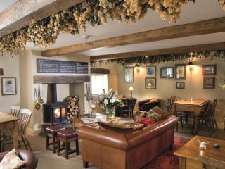
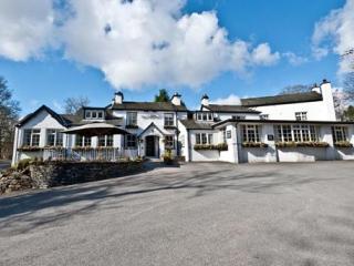
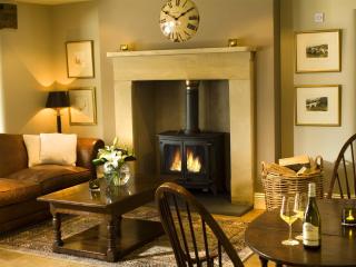
The Punch Bowl Inn & Restaurant
Located in the stunning Lyth Valley alongside the village church and within easy reach of many walks, this historic Inn dates back to 1829, when it was also used as a blacksmith's shop....
Silver Ridge Caravan Park
Holgates Holiday Parks is a collection of family owned and operated parks spanning across the South Lakes, North Lancashire and Ribble Valley. Silver Ridge is on a limestone ridge, surr...
Places to eat nearby View all