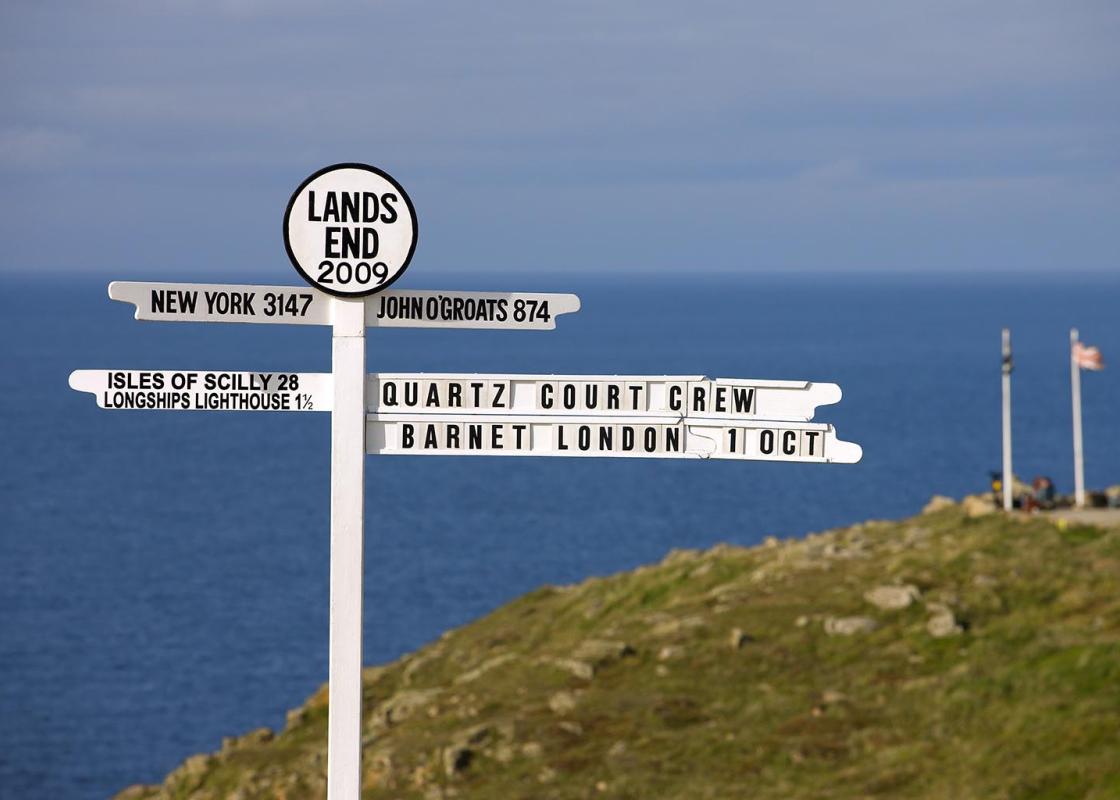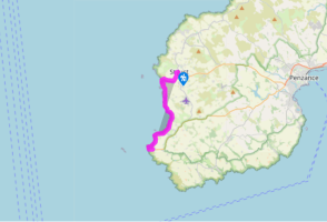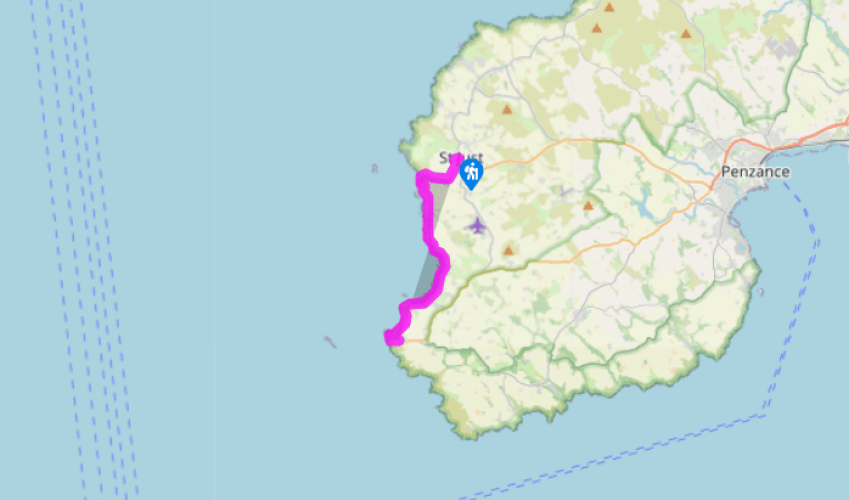
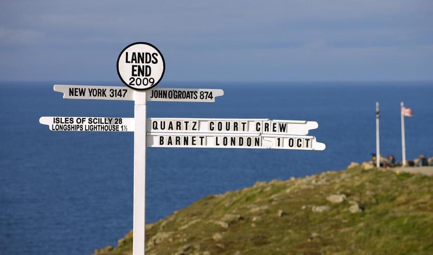
St Just to Land's End
Recommended by

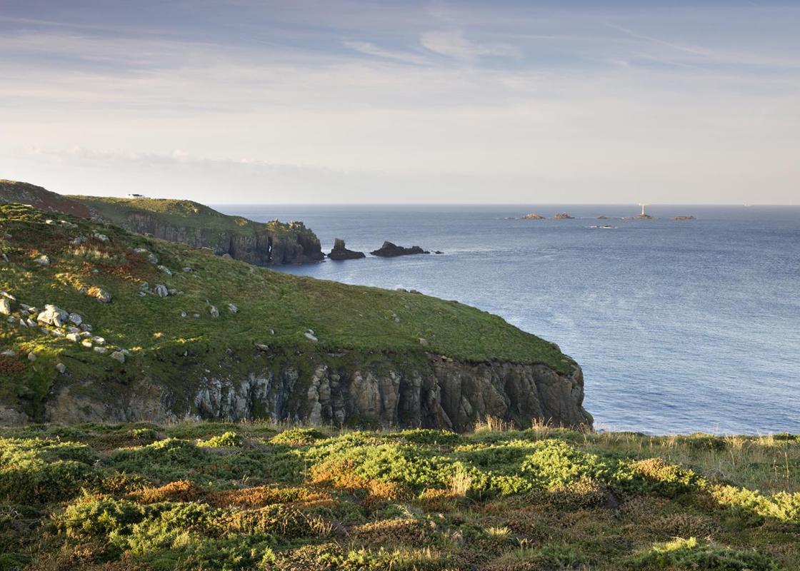
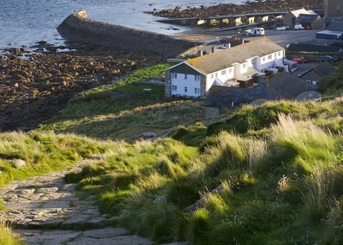
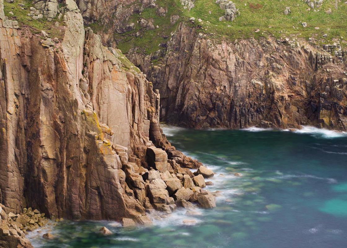
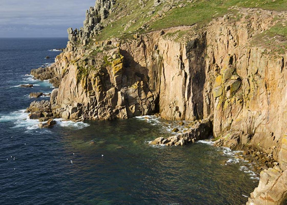
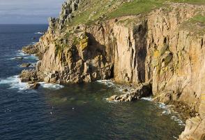
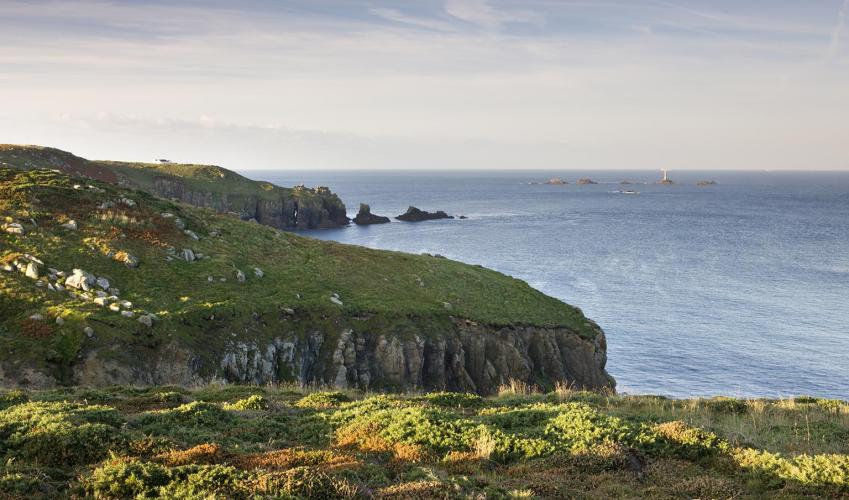
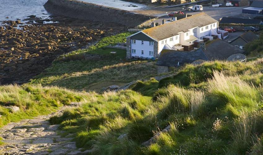
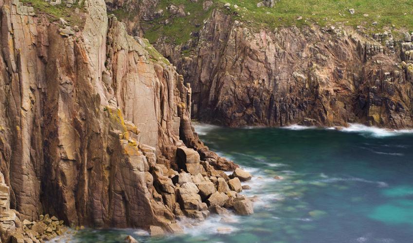
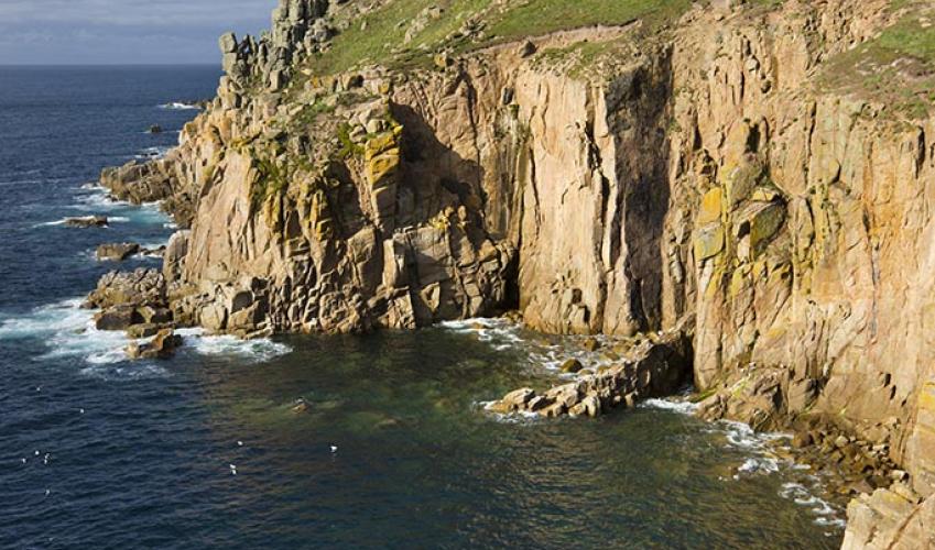
"Discover an exhilarating stretch of coast that runs south from St Just to Land's End."
Walk directions
With the library in front of you, turn right out of the car park. At a T-junction, turn left and follow Bosorne Terrace, keeping straight ahead at a junction.
Where the road curves left at another junction, keep to the right and follow a narrow lane, for 0.25 miles (400m) to where the lane ends by a seat. Go right from here and follow a hedged-in track.
View all directions
Additional information
Terrain
- Good coastal footpaths. Can be rocky in places
Landscape
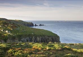
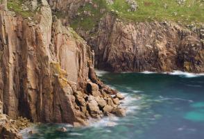
- West-facing coast with low cliffs and golden beach
Dog friendliness
- Dogs on lead through grazed areas and as notices indicate
Parking
- St Just large free car park on Market Street, opposite library
Toilets en route
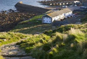
- St Just free car park; Sennen Cove; Land's End
About the walk
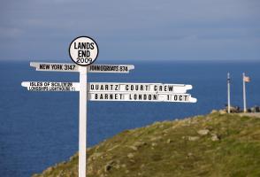
By way of taking the long view towards Land’s End, this walk follows footpaths from the old mining town of St Just and then along an exhilarating stretch of coast that runs south to Sennen Cove and to Land’s End. Tin and copper St Just is an attractive town of sturdy granite houses surrounding a...
Read more

Been on this walk?
Send us photos or a comment about this route. Or recommend a route of your own.

Walking in Safety
Read our tips to look after yourself and the environment when following this walk.

Get an AA guide
Explore our range of ‘50 Walks in’ guides - they’re the ideal companion for a ramble.
Been on this walk?
Send us photos or a comment about this route. Or recommend a route of your own.
Walking in Safety
Read our tips to look after yourself and the environment when following this walk.
Get an AA guide
Explore our range of ‘50 Walks in’ guides - they’re the ideal companion for a ramble.
About the area
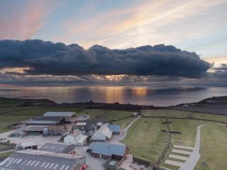
Cornwall has just about everything – wild moorland landscapes, glorious river valley scenery, picturesque villages and miles of breathtaking coastline. Known for its popular surfing spots, the region provides ample opportunities for water sport enthusiasts, and for those who prefer to stay on land, visitor attractions like the Eden Project and the Lost Gardens of Heligan offer a lovely day out.
Nearby places to stay
View all (8)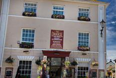


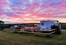
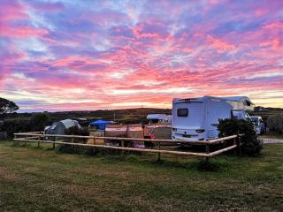
Caravan & Camping
Trevaylor Caravan & Camping Park
- Launderette
- Ice pack facility
- Shop onsite
- Wifi available
Nearby places to stay
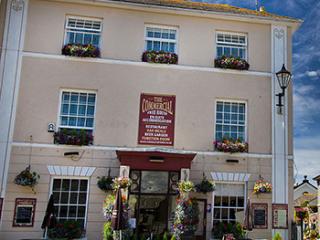
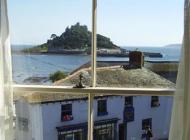
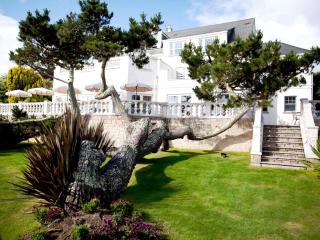
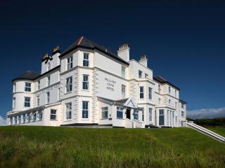
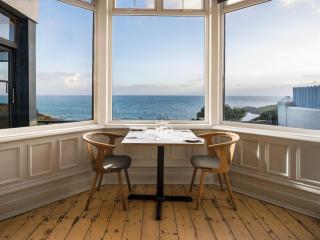
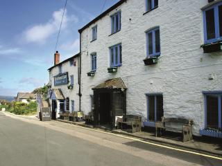
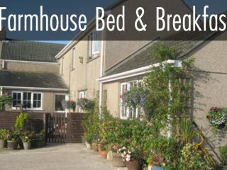
The Commercial
The Commercial is a former coaching inn situated in the heart of St Just in Market Square close to the stunning South West Coast Path. The eleven ensuite rooms are decorated to a high s...
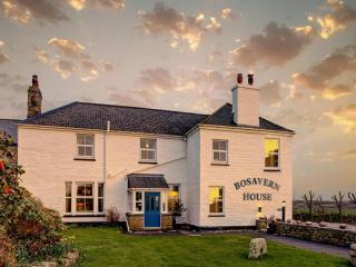
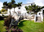
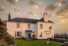
Bosavern House
Bosavern House, on the dramatic Land’s End peninsula close to the historic mining town of St Just and the beautiful Cot Valley, offers fine quality bed and breakfast, walking packages w...
Trevaylor Caravan & Camping Park
Trevaylor is a sheltered grassy site in a peaceful location at the western tip of Cornwall. The dramatic coastline and pretty villages nearby are truly unspoilt. Clean, well-maintained ...
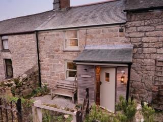
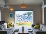
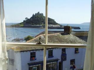
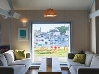
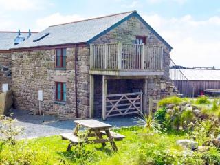
Niver Dew Cottage
Niver Dew Cottage is a cosy miners cottage built from granite, with stunning views of the sea and the local tin mining heritage. There are 2 comfortable bedrooms, sleeping 3. The lounge...
Niver Dew Cottage
Niver Dew Cottage is a cosy miners cottage built from granite, with stunning views of the sea and the local tin mining heritage. There are 2 comfortable bedrooms, sleeping 3. The lounge...
Trevedra Farm Caravan & Camping Site
A working farm, just a mile from Land's End, with sea views over Gwynver Beach to the Isles of Scilly beyond. This popular campsite offers an excellent and well-appointed toilet block, ...
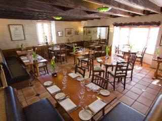
Tredinney Farm
Surrounded by fields, Tredinney Farm is where to stay for a hearty Cornish breakfast. For five generations, its owners have been breeding prize-winning cattle – ask to watch the milking...
Tredinney Farm Holiday Cottage
The two cottages at Tredinney Farm are comfortable and modern. You can arrange to watch the milking and a tour of the farm. Tredinney is nestled in the heart of west Cornwall and around...
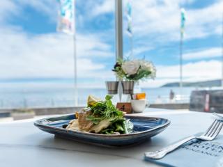
Places to eat nearby View all