


Giants Head Caravan & Camping Park
A pleasant, though rather basic, park set in Dorset downlands near the Cerne Giant (the famous…

Cerne Abbas
5.5 miles (8.8kms)
TThe chalk outline of the Cerne Abbas Giant is so familiar that the reality, seen from the hillside opposite rather than above from the air, is a surprise. His proportions change at this shallower angle, and this of course is how he was designed to be seen – all 180ft (55m) of him. Quite when he was made, and by whom, is a mystery. Was he drawn by the Romans, a portrait of the demi-god Hercules? Could he be a post-medieval caricature of Oliver Cromwell? On the other hand he might be of Celtic origin, for the giant has been linked to a pan handle discovered 12 miles (19km) away on Hod Hill. Made of bronze, it depicts a naked man clutching a club in one hand and a limp hare in the other. The man has wings and is surrounded by other symbols that identify him as Nodens, a Celtic god of healing and fertility. His features and the angle of his legs resemble the Giant, and place him in the first century ad. The Giant has been seen as a symbol of fertility for centuries, though the fencing now around him is to prevent him from being eroded.
St Augustine visited Cerne and preached to the locals on the spot now marked by St Augustine’s Well. A notice on the wall there records how he offered two shepherds the choice of beer or water to drink. When they asked for water, the saint rewarded them with a brewery. An abbey was founded here in ad 987. Its most famous inhabitant, Aelfric, produced a number of schoolbooks in Anglo-Saxon. A Latin primer, in which pupils adopt the characters of working people, and describe their lives to their teacher, is a fascinating record of daily life. The abbey was dissolved in 1539, along with Dorset’s other monastic houses, but an imposing gatehouse with an overhanging oriel window and carved lions remains, along with other buildings, including an ancient hospital, set around a flowered courtyard. The village of Cerne Abbas is a lovely mixture of old houses, some half-timbered, some stone, with flint, thatch and brick in evidence. The Giant Inn claims to be one of 13 original public houses, and if that seems excessive in a place this size, it should be explained that Cerne was once a major staging post on the coaching routes.
With the road behind you, take the bridleway up the left side of the car park, which soon bends right and then left round some trees, and left again. Keep right at a fork, to follow the track uphill. At the top, turn left on a broad grassy track inside the woods.
After 0.25 miles (400m) fork right, down through the woods. At the bottom turn left along the road. In 200yds (183m) take the footpath up right, signed ‘Up Cerne’. Ignore the direction of the signpost (almost directly at Up Cerne Manor) and head up past the right-hand side of a line of trees then turn sharp left around them, aiming towards the right-hand of two white gates. Cross a road, pass to the right of this gate, and continue diagonally down the field, with Up Cerne Manor in view to the left. Pass to the right of a pond to rejoin the road. At its end bear right on the A352.
Soon cross to a car park for the best view of the Giant. Fork left on the road down to the village and turn left, signposted ‘Village Hall’. Turn right beside the river, signposted ‘Village Centre’. Continue downstream to Long Street. On passing the back entrance to Abbots Tearoom, ignore the footbridge to the left. Turn left, and left again in front of the New Inn, and left by the Royal Oak, to pass the church. Walk past The Pitchmarket to the abbey. Turn right into the churchyard and bear left. Go through a gate and take the left-hand path to the base of Giant’s Hill.
Cross a stile, then keep ahead up some steps. Now follow the path to the left, round the contour of the hill below the fence protecting the Cerne Giant. After another 0.25 miles (400m), the path slants uphill through thorny scrub. At the slope top, cross a stile by a fingerpost and slant left across a field to another fingerpost.
Here turn left, signed ‘Wessex Ridgeway’, and go down through a gate. Soon turn right through a galvanised gate and follow the bridleway path contouring around the hillside below fields. The path goes straight on through a gate inside the top edge of some woods to emerge at a gate near the road. Don’t go through, but turn left away from the road (signed ‘Minterne Magna’), through a field gate then along the left edge of a large field. At a gateway turn left on a gravel lane.
Directly above Minterne House, with a radio mast in sight ahead, turn left through a small gate signed ‘Minterne Magna’. Slant gently downhill away from the fence, to the left of two redundant metal gateposts mid-field. Bear left down to a gate, then head directly downhill, following fingerposts. Join a track, which runs out to the left of the church to return to the car park.
Country paths and tracks, minor road, main road
Head of Cerne Valley, scattered with old settlements
Lead essential on road stretches
OS Explorer 117 Cerne Abbas & Bere Regis
Car park opposite church in Minterne Magna
Cerne Abbas
Read our tips to look after yourself and the environment when following this walk.
Dorset means rugged varied coastlines and high chalk downlands. Squeezed in among the cliffs and set amid some of Britain’s most beautiful scenery is a chain of picturesque villages and seaside towns. Along the coast you’ll find the Lulworth Ranges, which run from Kimmeridge Bay in the east to Lulworth Cove in the west. Together with a stretch of East Devon, this is Britain’s Jurassic Coast, a UNESCO World Heritage Site and Area of Outstanding Natural Beauty, noted for its layers of shale and numerous fossils embedded in the rock. Among the best-known natural landmarks on this stretch of the Dorset coast is Durdle Door, a rocky arch that has been shaped and sculpted to perfection by the elements. The whole area has the unmistakable stamp of prehistory.
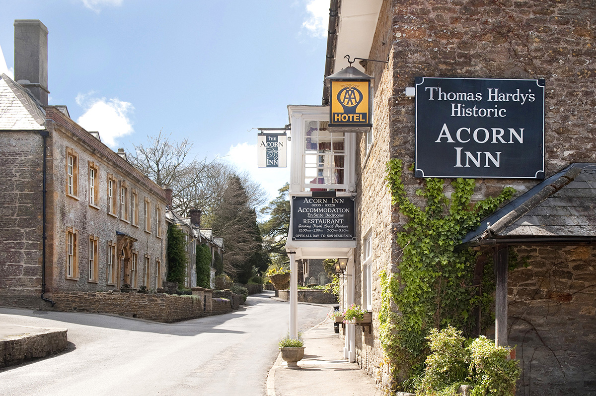
Away from Dorset’s magical coastline lies a landscape with a very different character and atmosphere, but one that is no less appealing. Here, winding, hedge-lined country lanes lead beneath lush, green hilltops to snug, sleepy villages hidden from view and the wider world. The people of Dorset are justifiably proud of the achievements of Thomas Hardy, its most famous son, and much of the county is immortalised in his writing.
Discover more than 15,000 professionally rated places to stay, eat and visit from across the UK and Ireland.
Choose a place to stay safe in the knowledge that it has been expertly assessed by trained assessors.
Search by location or the type of place you're visiting to find your next ideal holiday experience.
Read our articles, city guides and recommended things to do for inspiration. We're here to help you explore the UK.


