The Limestone Way and Lathkill Dale
Recommended by

"Historic mines and granges, pleasant limestone dales and abandoned millstones"
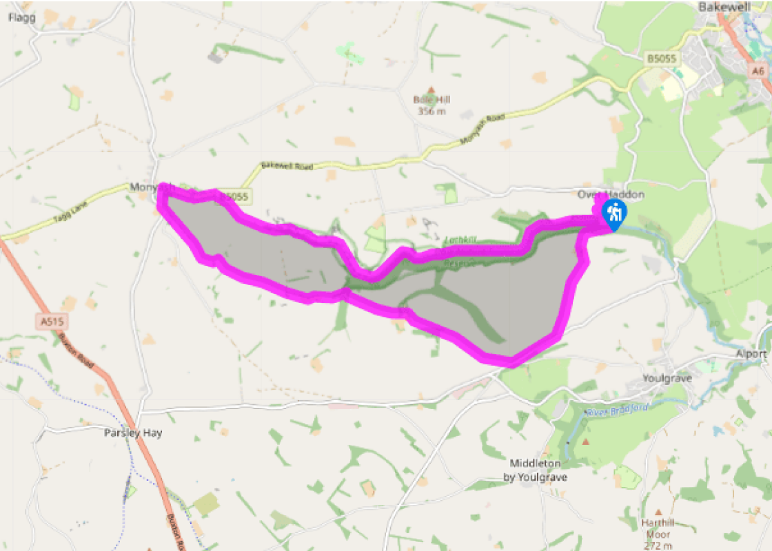
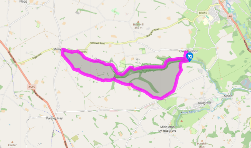
Walk directions
Turn right out of the car park then descend a narrow tarmac dead-end lane, which winds down to Lathkill Dale.
As the lane bends left across the river, fork right and through a gate on to a broad track to enter Lathkill Dale National Nature Reserve and the wooded dale bottom. At a footbridge it’s worth crossing over to visit Bateman’s House. Pass a couple of widenings of the river (millponds), then leave the dense woodland and traverse more open, rougher slopes.
View all directions
Additional information
Terrain
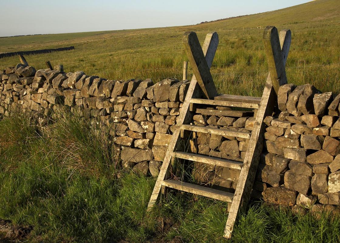
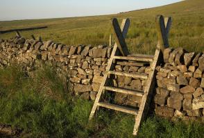
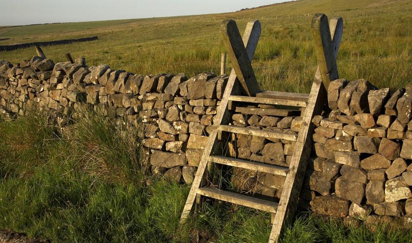
- Generally well-defined paths, but limestone dale sides can be slippery after rain and there is one section of steep steps, several stiles
Landscape
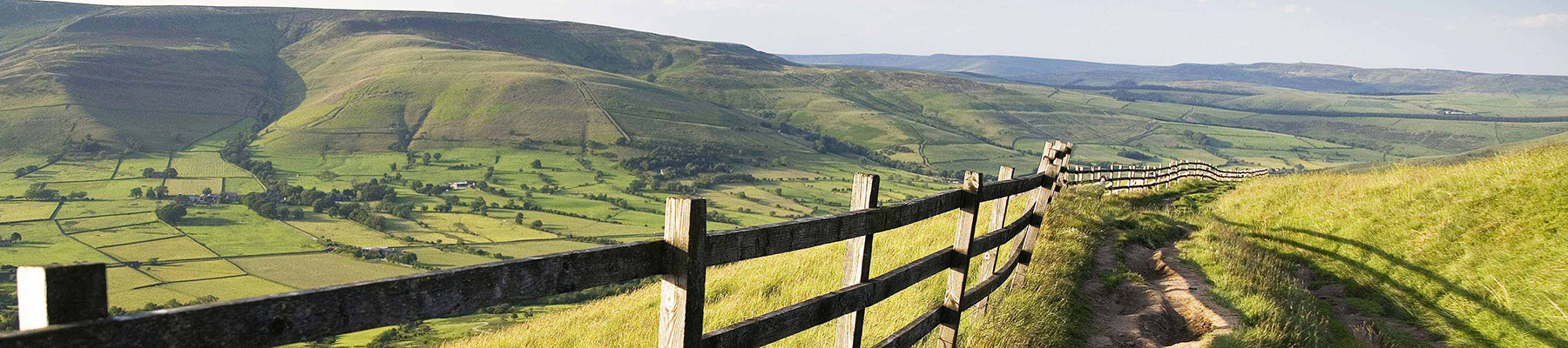
- Partially wooded limestone dale and open pasture
Dog friendliness
- Keep on lead unless threatened by cattle.
Parking
- Over Haddon pay car park
Toilets en route
- At car park
About the walk
'Lathkill is, by many degrees, the purest, the most transparent stream that I ever yet saw either at home or abroad...'Charles Cotton, 1676. Today, when you descend the winding lane into this beautiful limestone dale, you’re confronted by a seemingly timeless scene of ash trees growing beneath...
Read more

Been on this walk?
Send us photos or a comment about this route. Or recommend a route of your own.

Walking in Safety
Read our tips to look after yourself and the environment when following this walk.

Get an AA guide
Explore our range of ‘50 Walks in’ guides - they’re the ideal companion for a ramble.
Been on this walk?
Send us photos or a comment about this route. Or recommend a route of your own.
Walking in Safety
Read our tips to look after yourself and the environment when following this walk.
Get an AA guide
Explore our range of ‘50 Walks in’ guides - they’re the ideal companion for a ramble.
About the area
The natural features of this central English county range from the modest heights of the Peak District National Park, where Kinder Scout stands at 2,088 ft (636 m), to the depths of its remarkable underground caverns, floodlit to reveal exquisite Blue John stone. Walkers and cyclists will enjoy the High Peak Trail which extends from the Derwent Valley to the limestone plateau near Buxton, and for many, the spectacular scenery is what draws them to the area.
Nearby places to stay
View all (8)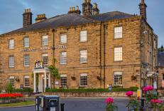


Nearby places to stay
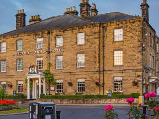
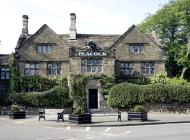
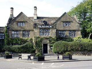
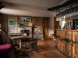
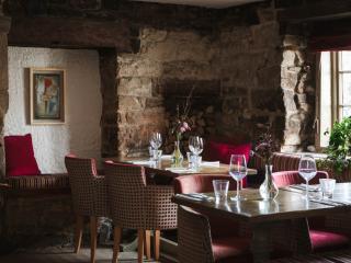
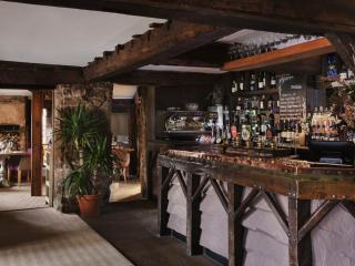
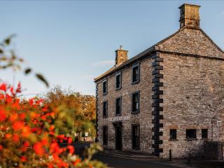
The Rutland Arms
The Rutland Arms is a historic coaching inn in the heart of Bakewell, within the Peak District National Park. It is ideally located for visiting Chatsworth, Haddon Hall, and surrounding...
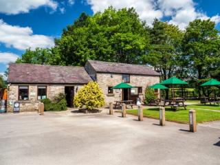
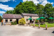
Greenhills Holiday Park
A well-established park nestled in beautiful countryside within the Peak District National Park. Many pitches enjoy uninterrupted views, and there is easy access to all facilities, incl...
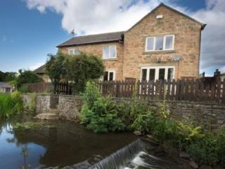
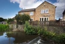
Millbrook House
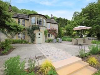
Close to the River Wye, Millbrook House is a large detached house that sleeps eight. One major attraction is the small brook that runs along the bottom of the small garden. Inside, the ...
Millbrook house
Close to the River Wye, Millbrook House is a large detached house that sleeps eight. One major attraction is the small brook that runs along the bottom of the small garden. Inside, the ...
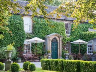
The Ashford Arms
Nestled in the heart of Ashford-in-the-Water near Bakewell, The Ashford Arms is a beautifully restored country pub, restaurant and inn, offering an inviting blend of comfort, character ...
Rafters at Riverside House
Set in the picturesque village of Ashford in the Water, Rafters offers attractive bedrooms in the main house and garden wing; all spacious and comfortably appointed. There is a bar, com...
Rookery Cottage
Rookery Cottage is a charming detached stone cottage in the Peak District village of Ashford-in-the-Water, near Bakewell. Sleeping up to six guests, it combines character features inclu...
Rookery Cottage
This Grade II, 18th-century cottage is situated in the grounds of The Rookery, with its own private gardens on the bank of the River Wye (fenced for the security of younger visitors). T...
Places to eat nearby View all