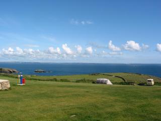
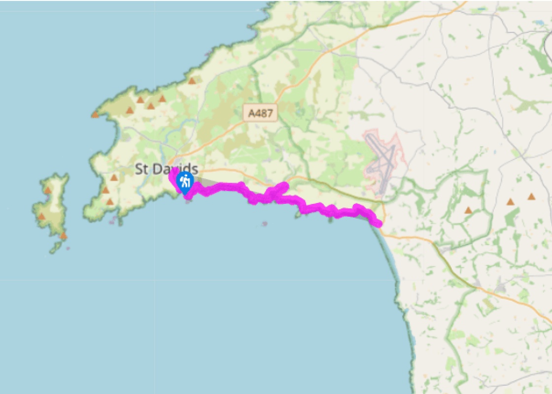
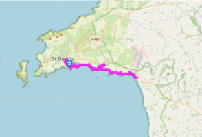
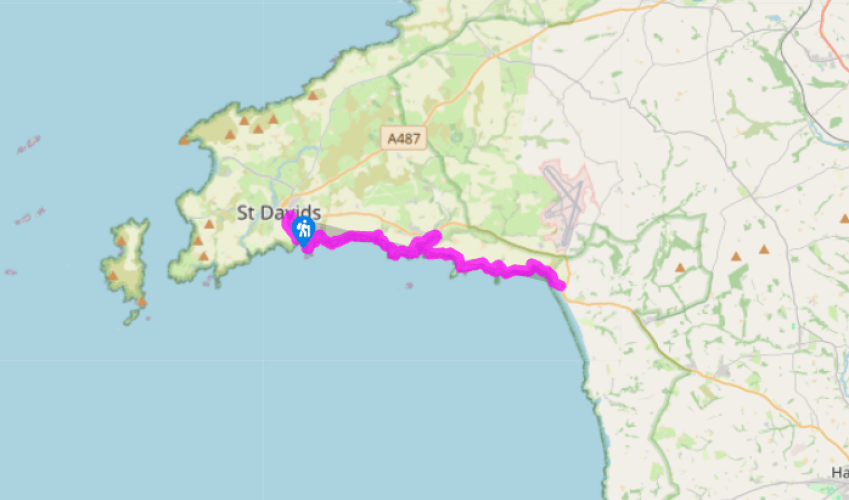
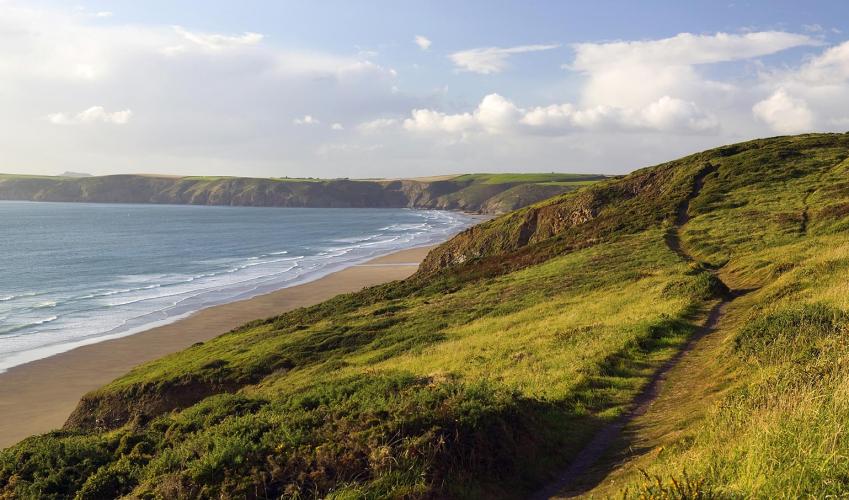
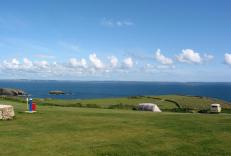
The northern reaches of St Brides Bay
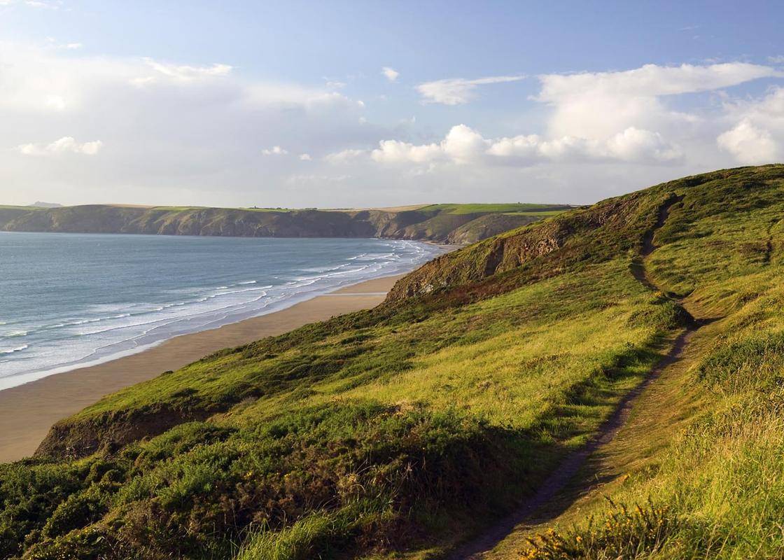
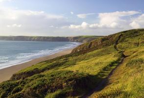
Turn left out of the car park in St Davids and walk down the road towards Caerfai Bay. You’ll meet the coast path on the left-hand side of a small car park. Follow it down, ignoring a right turn to the beach, and bear south to round a broad promontory, tipped with a rocky bluff. The path swings left and drops down to Caer Bwdy Bay, where you’ll pass a ruined mill on the left. Climb back up on to the cliff tops to continue above Carreg y Barcud and around another inlet. The next section slips by easily, above a series of caves and arches, before you drop steeply down to Porth y Rhaw.
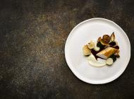
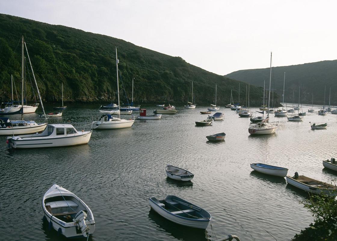
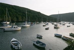
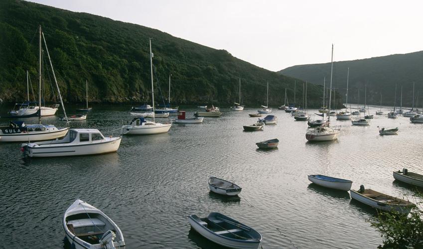
Climb out again and enjoy huge views over more cliffs and bluffs. One mile (1.6km) after Porth y Rhaw you’ll be drawn back inland as the path dips into the sharp gash of Solva. Go through a gate and follow the field edge down to another gate, where you turn right. This leads on to a narrow track. Follow this down and then around to the left. Continue beneath houses before dropping down a waymarked path on the right that leads down steps to the harbour. Follow the harbour wall along to the Harbour Inn and Thirty-Five Main Street.
Cross the bridge and turn left and then right to rejoin the coast path. After taking a right fork to pass above some fantastically well-preserved lime kilns, follow the path up on to the ridge of Gribin. The names Gribin or Cribin literally translate to ridge. At the seaward end you’ll pass the banks of an Iron Age settlement. Turn left at a waymarker to drop steeply down steps to a footbridgein the valley below. Cross the pebbles at the back of the beach and climb steeply up on to the headland of Penrhyn. Don’t be drawn right here but at the top turn, left almost back on yourself to rejoin the cliff edge, a short distance further on. The path continues to climb steadily from this point, passing above a few beautiful beaches before dropping slightly above the pronounced rocky peninsula of Dinas Fawr. An airy scramble along its back makes a great excursion if time allows. Continue easily above Stacen y Brenhin and then drop again into a deep valley by Porthmynawyd. Cross a footbridge and climb the path back on to the cliff tops once more.
The wide sweeping sands of Newgale are now visible ahead and, as you are drawn back inland at Cwm-bach, you should be able to see if the tide is low enough to allow you to finish the walk on the beach itself or whether you’ll need to climb back up on to the coast path from Cwm Mawr. Climb away from Cwm-bach and then, almost immediately, drop into Cwm Mawr. The beach is accessed by a short scramble down rocks on the right. If the tide’s out, continue easily along the beach, past a number of huge caves, to Newgale. Once on Newgale Beach, keep the cliffs to your left and walk up to the huge pebble bank above. Scale this and cross behind the small stream to gain the road. If the tide’s too high, climb away from Cwm Mawr and continue along the coast path, with fantastic views west along the coast. This leads out on to the road at Newgale, where you turn right to drop to the village.
Been on this walk?
Send us photos or a comment about this route. Or recommend a route of your own.
Walking in Safety
Read our tips to look after yourself and the environment when following this walk.
Get an AA guide
Explore our range of ‘50 Walks in’ guides - they’re the ideal companion for a ramble.
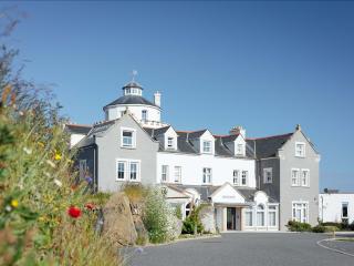
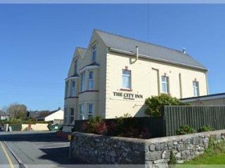
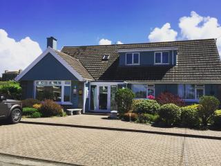
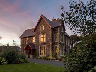
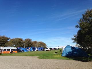
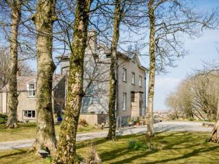
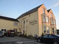
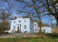
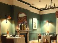
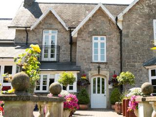
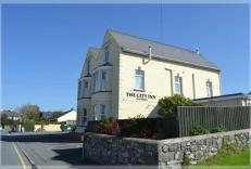
Nearby places to stay
View all (8)
- Family rooms: 0
- Free TV
- WiFi available
- Lift available
- Rooms 9
- Free TV
- Wifi
- Open parking
- Launderette
- Ice pack facility
- Wifi available
- Calor Gas


