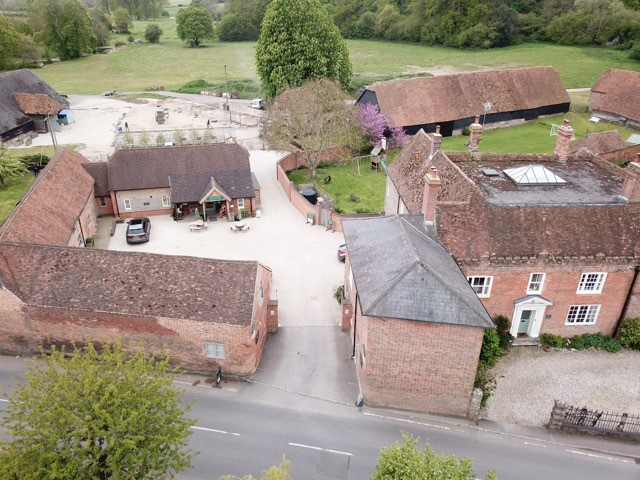
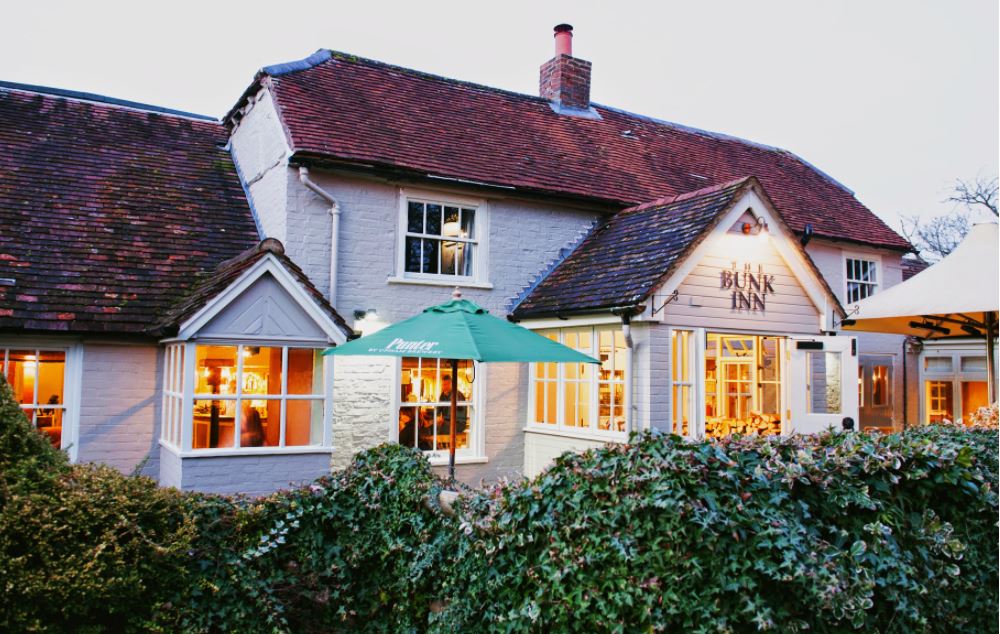


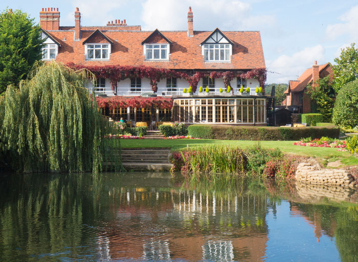

YHA Streatley-on-Thames
A comfortable Victorian house five minutes' walk from the River Thames, YHA Streatley-on-Thames…

Goring
9.9 miles (15.9kms)
For much of its route, The Ridgeway National Trail follows part of an ancient track, the Great Ridgeway, which once ran from Dorset to Norfolk and which has been dubbed ‘the oldest road’ in Britain. The route of the trail initially follows the northern edge of the North Wessex Downs and finishes on paths through the rolling and wooded Chiltern AONB. These two contrasting landscapes are divided by the River Thames, which cuts through the chalk hills at Goring, and the differences are further emphasized by the route following the banks of the river for some miles before climbing back into the hills.
After the waterless expanse of the Downs, it is something of a surprise to follow the course of the River Thames. Note the distinctive swan’s head and horseshoe waymarkers for the Swan’s Way, a long-distance bridleway route from Goring to Salcey Forest, which shares the route of The Ridgeway on a
number of occasions.
The trail runs close to the railway line along this section and it is difficult not to contrast the various merits of different types of travel as the Intercity trains scream past and leave the walker to enjoy the leisurely route towards South Stoke.
At South Stoke, the path draws away from the river to run through the village, at the north end turning left to return to the riverside path. The route then carries on through fields, passing under the railway, to North Stoke.
The Ridgeway leaves the village past the rushing race of the old mill and along a pleasant tree-lined track, giving way to a golf course on the approach to Mongewell Park.
Just beyond the buildings of Carmel College, the path turns abruptly on to the line of another Grim’s Ditch. If you were to carry straight on at this junction, a path would lead in less than a mile (1.6km) to the pleasant town of Wallingford.
The walk along Grim’s Ditch (also known as Devil’s Dyke) gets into its swing once the A4074 has been crossed. For the most part the path follows the top of the bank which runs to the north of the dyke,
a position one would have expected to be exposed. In this case, however, the whole line of the ditch is well wooded, so that the walk has an enclosed feel to it. There are occasional glimpses out at the surrounding countryside and, in the distance, the chalk-cut shape of the Watlington White Mark.
Road, grassy riverside footpaths (can become muddy), dirt path through woods and along embankment
Town, River Thames, riverside villages, fields, trees
On lead near livestock
OS Explorer 171, 181
Car park (pay and display) in Goring
At car park in Goring
Read our tips to look after yourself and the environment when following this walk.
Discover more than 15,000 professionally rated places to stay, eat and visit from across the UK and Ireland.
Choose a place to stay safe in the knowledge that it has been expertly assessed by trained assessors.
Search by location or the type of place you're visiting to find your next ideal holiday experience.
Read our articles, city guides and recommended things to do for inspiration. We're here to help you explore the UK.