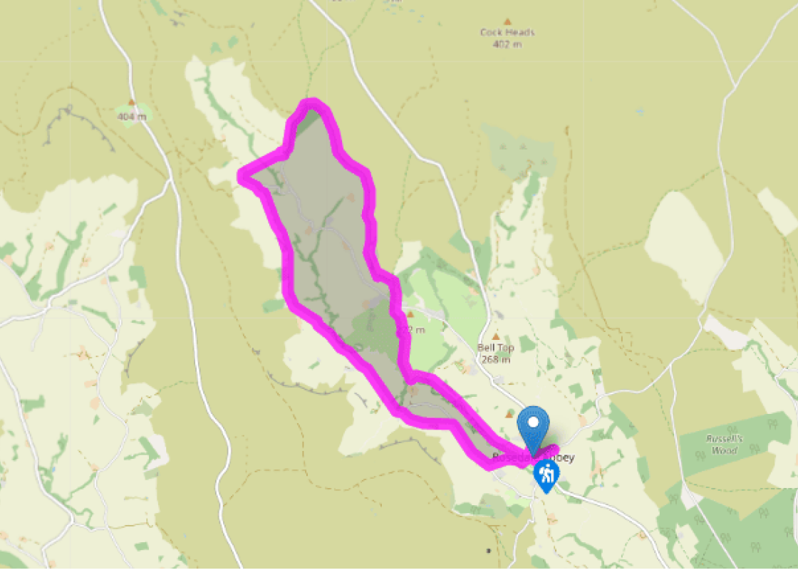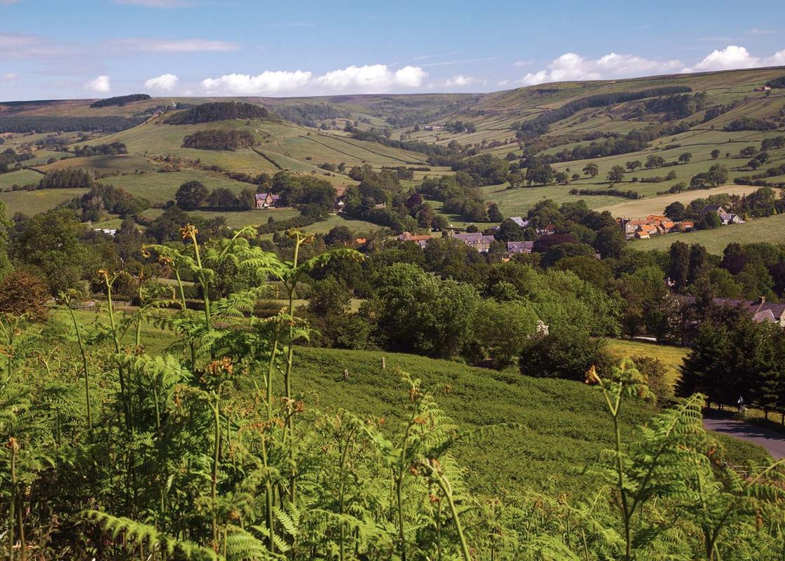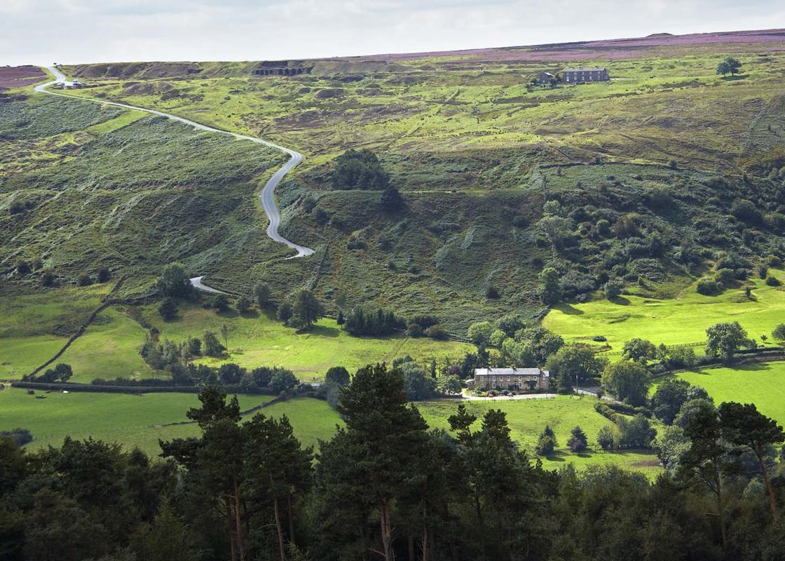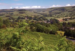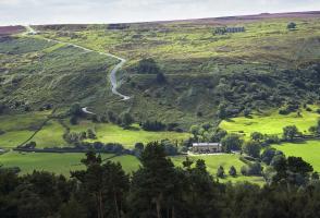
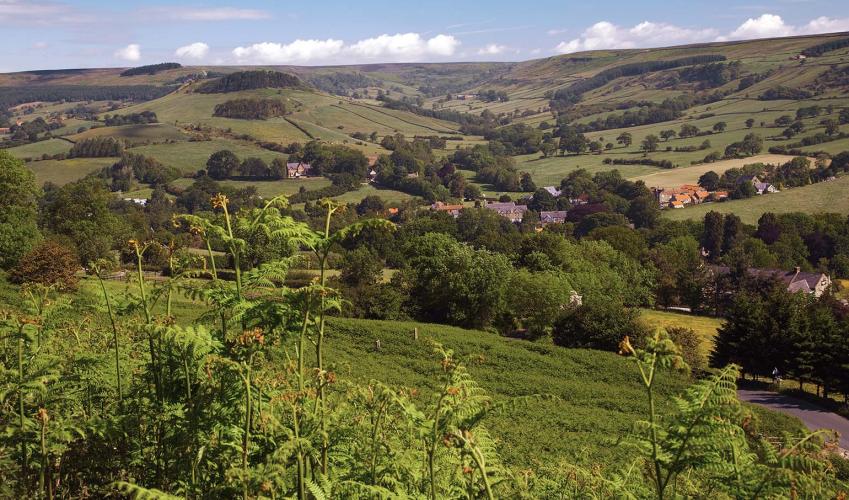
The valley of Rosedale
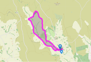
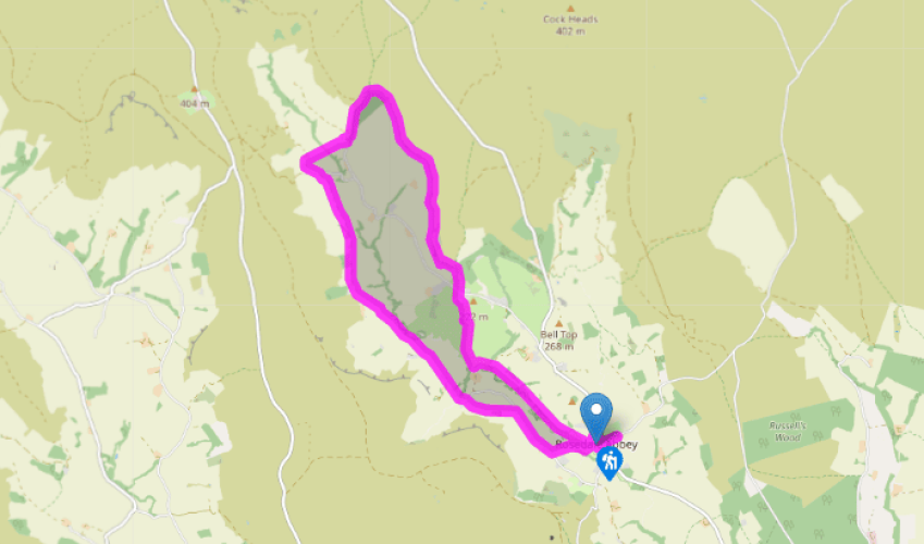
From the car park turn right, immediately right again then bear right going around the church. Take a path left, signed ‘Dann Carr Bridge’. Go through a kissing gate and cross a path. At the open ground bear right to a footbridge at the field corner. Go up steps and through a gate, to follow the path across the field to a kissing gate onto a road. Turn right.
Turn left through a gate at a ‘Thorgill’ sign. Follow the waymarked path through five gates to a road. Turn left and walk past the houses. When the metalled lane ends, go ahead on the track. Go through a gate and straight on; 100yds (91m) beyond another gate, approaching High House Farm, bear right on a waymarked track, going right of the buildings though two gateways.

Been on this walk?
Send us photos or a comment about this route. Or recommend a route of your own.

Walking in Safety
Read our tips to look after yourself and the environment when following this walk.

Get an AA guide
Explore our range of ‘50 Walks in’ guides - they’re the ideal companion for a ramble.
Been on this walk?
Send us photos or a comment about this route. Or recommend a route of your own.
Walking in Safety
Read our tips to look after yourself and the environment when following this walk.
Get an AA guide
Explore our range of ‘50 Walks in’ guides - they’re the ideal companion for a ramble.

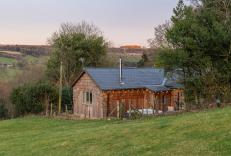
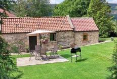
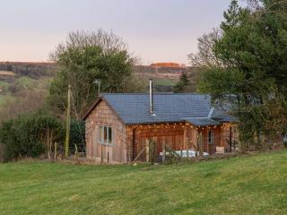
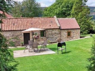
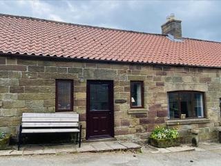
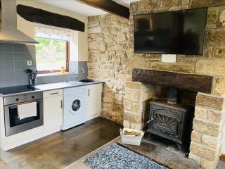
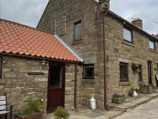
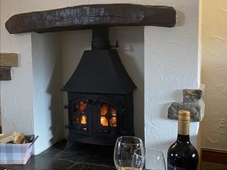
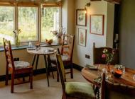
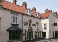
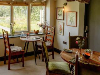
Nearby places to stay
View all (8)