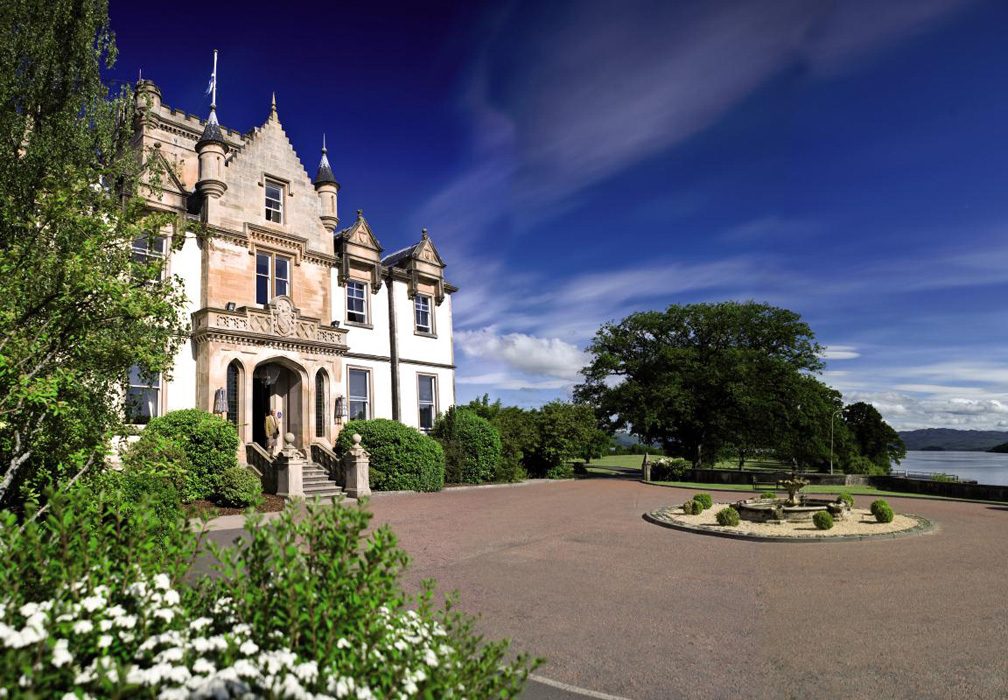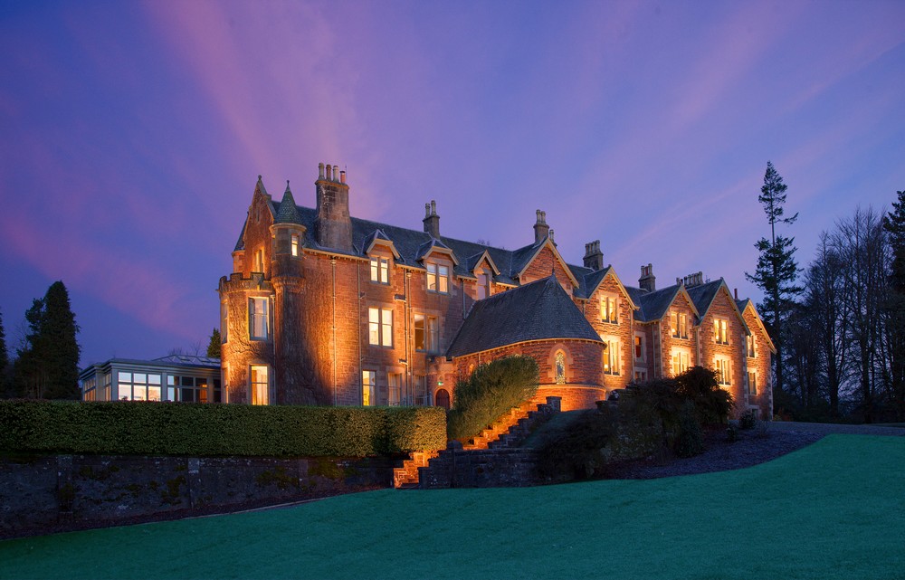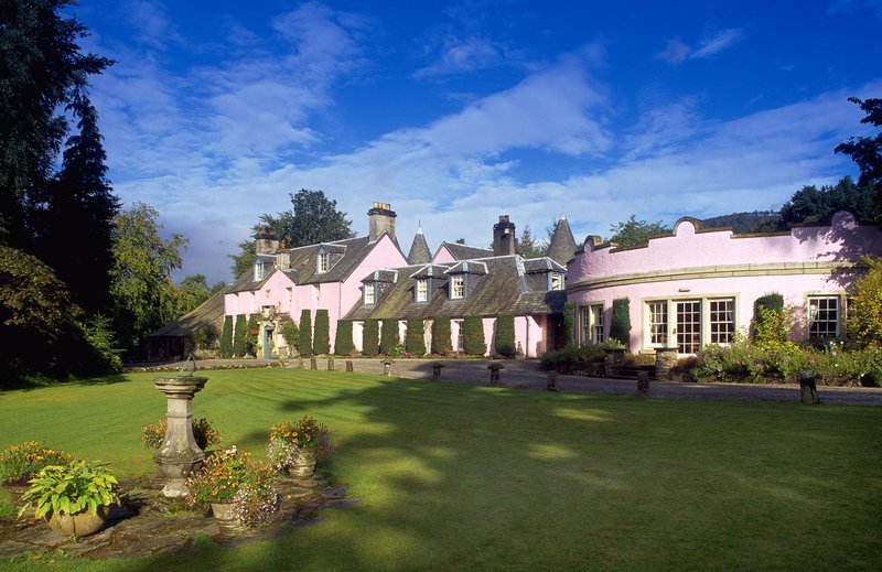

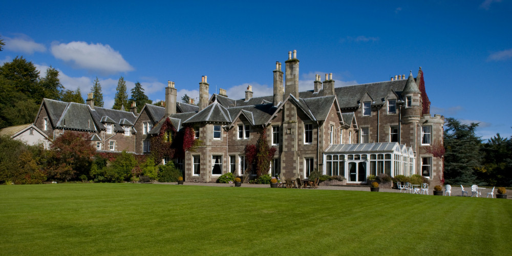


Roman Camp Country House Hotel
Built in the 17th century and originally used as a shooting lodge, this charming country house…

Walking across the Highland Boundary Fault and along a 19th-century inclined railway
Queen Elizabeth Forest Park
3.25 miles (5.2kms)
This walk crosses the Highland Boundary Fault, a geological line stretching across the country from Arran to Stonehaven just south of Aberdeen. It is one of Britain's most important geological features and it separates the Highlands from the Lowlands. This weak line in the crust of the earth formed around 390 million years ago when the old rocks of the Highlands were forced up and the Lowland rocks pushed down. North of the fault lie Highland rocks, created over 500 million years ago when land movement on a massive scale squeezed and heated the stone. Whinstone, which was used extensively as a building stone because it splits easily, formed from pressure on mud and sand. Slate was also formed but was compressed into layers and was valued as a roofing material.
Near the walk is the Duke's Pass, one of the largest slate quarries in Scotland. Most of the higher mountains are formed from a rock known as Leny Gritt, which started life as sand and gravel before being moulded into shape by intense heat and pressure. Another group of rocks includes Achray Sandstone, formed when this high mountain area was under the sea. Later earth movement caused the sandstone to tip and stand on its end. Iron minerals present in the formation of the sandstone gave it a reddish brown colour.
Given the quality and variety of the rocks found in this part of the forest park it is unsurprising that in the past a great deal of quarrying took place here. Evidence of a once thriving quarry can be found on the steep downhill path, which, at the beginning of the 19th century, was an inclined railway transporting the limestone from Lime Craig Quarry. The limestone was carried on wooden wagons to the lime kilns which used to be at the bottom of the hill. Heavy wooden sleepers supported the three rails of the wagon way. Full wagons went down using the centre and one outside rail while the empties returned on the centre and other outside rail. The wagons were attached to a wire rope, which was wound round a drum at the top of the hill enabling the weight of the full wagons and gravity to provide the power to return the empty ones to the top. Halfway up the track was a short section of double railing to allow the wagons to pass each other. Brakes at the top of the incline could be used to control the rate of descent. By 1850 the quarry was exhausted and the wagon way was no longer needed.
From the front of the visitor centre follow a well-surfaced footpath and waymarkers to the bottom, then turn left and across duckboards to reach the Waterfall of the Little Fawn with its 55ft (16.7m) drop. Shortly after this, turn left to cross a bridge, then turn right following the blue and red waymarkers left again on to a forest road.
This is part of the National Cycle Network (NCN) so look out for cyclists. Head uphill on this waymarked road following the blue and red waymarkers and the NCN Route 7 signs. When the road forks at a junction keep left, continuing uphill until you reach a crossroads.
Turn right, following the red waymarker, on to a smaller and rougher road. The Boundary Fault Trail parts company with the NCN Route 7 at this point. The going is easy along this fairly level section. Keep on until you eventually reach a viewpoint on the right with a strategically placed seat.
From here the road heads uphill until it reaches a waymarker near a path heading uphill towards a mast. Turn right then go through a barrier and start descending. Although this is a well-made path it is nevertheless a very steep descent through the woods and great care should be taken.
This path follows the line of the Limecraigs Railway, an early 19th-century inclined railway used for transporting limestone. It continues downhill to go through another barrier where the path is intersected by a forest road. Cross this road, go through another barrier and once again continue to head downhill.
At the bottom of the hill is a set of steps leading to a forest road. Turn right on to the road and follow the red waymarkers. Stay on this road until you reach the bridge at the waterfall and retrace your steps to the visitor centre.
Forest roads and footpaths
Forest and hills
Suitable for well-behaved dogs
OS Explorer 365 The Trossachs
At visitor centre near Aberfoyle
At visitor centre
Read our tips to look after yourself and the environment when following this walk.
Discover more than 15,000 professionally rated places to stay, eat and visit from across the UK and Ireland.
Choose a place to stay safe in the knowledge that it has been expertly assessed by trained assessors.
Search by location or the type of place you're visiting to find your next ideal holiday experience.
Read our articles, city guides and recommended things to do for inspiration. We're here to help you explore the UK.