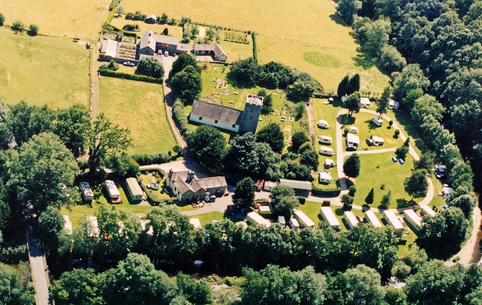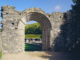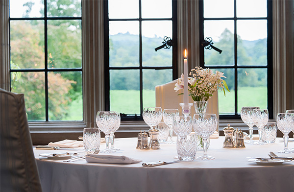
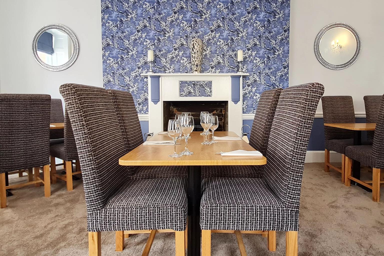

Llanerchindda Farm
Llanerchindda Farm is set in 50 acres of Welsh countryside with spectacular views over the Black…

A tough walk exploring the austere side of the Welsh uplands
Cwm Gwesyn
9.5 miles (15.3kms)
This is the toughest walk in the whole book, but more by the nature of the terrain than the amount of ascent. The rewards, for those who are prepared to navigate their way carefully over one short stretch of trackless moorland, are rich beyond description, for this is a foray into the wilder side of Wales – a place that sees few footprints. For less experienced walkers, this is definitely one to tackle only after you’ve cut your teeth on the high ground of Bannau Brycheiniog (Brecon Beacons), and then only in good visibility. Alternatively, if you’re unsure about the navigation, or if you are in any doubt about the visibility, follow the outward leg on to Drygarn Fawr and return by retracing your steps.
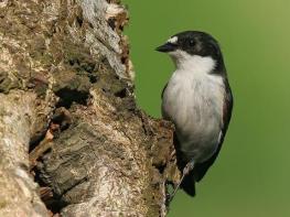
The remote nature of the landscape links this area, more than any other, with one of Britain’s most beautiful birds, the red kite. It was the scene of this most majestic raptor’s final stand. Free of persecution, pesticides and disturbance, a mere handful defiantly resisted extinction by scavenging these moors and nesting in the abundance of trees that line the valleys. Their decline was thankfully halted by a number of conservation groups who, working closely with local landowners, started a release programme of birds imported from Scandinavia and Spain. Successful breeding in both England and Scotland began in 1992 and since then the population has increased so significantly they are almost common here today.
The birds are easily distinguished from the more common buzzard, which can also be seen in this area, as they are much slimmer in build with narrower, more angular wings and a distinct fork in the longer tail. The plumage is a mixture of russet red and chestnut brown with white wing patches and a silver head. Their flight is more agile and a close view will show the tail constantly twisting as if trimming a sail.
There are a handful of designated red kite feeding stations in the area, mostly operating in winter, so if you want to get closer to these beautiful birds, then search for times online.
Turn right on to the road and walk towards the bridge, just before which a stony track heads up left. Take this and after 100yds (91m) turn right, through a gate. Follow the track across fields and down to the Afon Gwesyn, which you ford. Continue to a gate and up towards a wood where the track splits. Choose the top option and then, as this bends around to the left and heads downhill 20yds (18m) later, fork right, to traverse the clearing to a gap in the wood.
Follow the path down to a ford. Climb on to open ground and bear right to climb to a farm track by some buildings. Turn left on to this and follow it through a gate, where you fork left to walk beneath some crags. Ignore another fork to the left and continue to open ground. Follow the east side of the valley for over 1.5 miles (2.4km) to a waterfall.
Pass this on the right, then continue until the path almost disappears. Follow the line of the stream until you reach a distinctive small ridge coming in from the right. Take this uphill for 150yds (135m) and then bear left on to a narrow path, which leads you around a number of boggy patches until the cairned summit of Drygarn Fawr becomes visible. The path is often very indistinct. If you become unsure, aim for the crags and use a compass.
Climb the grassy slope to the trig point, then follow the ridge east past both cairns. A close scan of the hillsides to the east-southeast should reveal two grassy tops, 1.5 miles (2.4km) away, one with a large cairn on top – this is Carnau, your next objective. A clear grassy track descends east from the cairn. Follow this until it levels completely and rounds a left-hand bend, where you’ll make out a faint path forking right. This is the start of the careful navigation and if you’re in any doubt about visibility, or your ability to navigate, you’ll be better off turning around and retracing your tracks.
Follow the track, which passes to the left of a solitary boundary marker. Turn sharp right here (south), away from the path, and cross wet ground to climb slightly on to a very broad rounded ridge. You’ll make out the head of a small valley ahead and, as you drop into this, bear slightly left to follow the high ground with the valley to your right. Continue on sheep tracks to cross a couple of hollows, until you reach a grassy hilltop on your left. From here, you should be able to see the cairn ahead. Take the clear path that leads to it. Alternatively, keep as straight a line as you can from the cairn, with your eyes fixed on Carnau and your compass to the fore.
From Carnau, you’ll see the start of a clear gorge away to the southwest. Walk towards this, on a visible path, and you’ll pick up a good track as you cross the river. Continue downstream on the far bank and then stay with the path as it bears away right and crosses open hillsides. Take a right when the path forks in order to drop into the bottom of the valley, where you need to ford the stream to go through a gate.
Climb on a good track that eventually drops to cross another stream via a footbridge and then continue up to a five-way junction. Turn sharp right here, go through a gate and then another on the left. Drop down through the field past a sheepfold and through three gates and on to an enclosed track and follow this to a junction above some houses on your left. Keep right, going onto a grassy path, cross a stream and then take the track across a field to a path junction. By a cluster of gates, go through three to keep straight ahead and descend through the yard of Glangwesyn to the road. Turn right on to the road to return to your car.
Riverside path, faint or non-existent paths over moorland, some good tracks, some awkward stream crossings
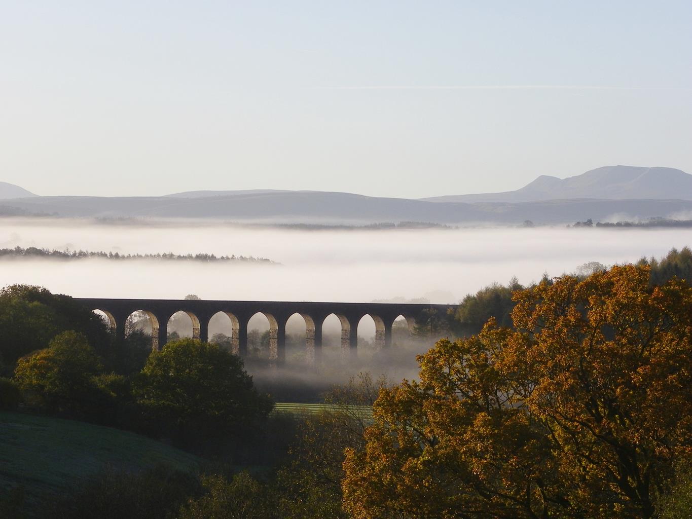
Stunning valley, remote moorland, some forestry
Care needed near livestock
OS Explorer 200 Llandrindod Wells & Elan Valley
Car park northeast of Abergwesyn
At start of the walk
<p>Difficult navigation in poor visibility</p>
Read our tips to look after yourself and the environment when following this walk.
The largest unitary authority in Wales, Powys covers an area of approximately 2,000 square miles. Much of that is mountainous because it actually has the lowest population density of all the Welsh counties.
This much wild, empty space is perhaps best typified by the International Dark Sky Reserve in the Brecon Beacons National Park, one of only eleven in the world. The absence of light pollution creates an exceptional spot for star gazing. You won’t find any cities in Powys, just villages and smaller-sized towns, but that’s the way its inhabitants like it.
Newtown, the largest settlement, is perhaps most famous for being the birthplace of Robert Owen, the founder of the Co-operative movement. Brecon is a market town set on the edge of the Brecon Beacons National Park, while the pretty Victorian spa town of Llandrindod Wells boasts the National Cycle Collection. Elsewhere, Hay-on-Wye hosts a major literary festival every year.
Powys is liberally scattered with castles, burial mounds, hill forts, and other historic markers; Powis Castle, near Welshpool is probably one of the most impressive. And for walking enthusiasts, it’s not just the Brecon Beacons on offer – the Elan Valley describes itself as the ‘Welsh Lake District’.
Discover more than 15,000 professionally rated places to stay, eat and visit from across the UK and Ireland.
Choose a place to stay safe in the knowledge that it has been expertly assessed by trained assessors.
Search by location or the type of place you're visiting to find your next ideal holiday experience.
Read our articles, city guides and recommended things to do for inspiration. We're here to help you explore the UK.