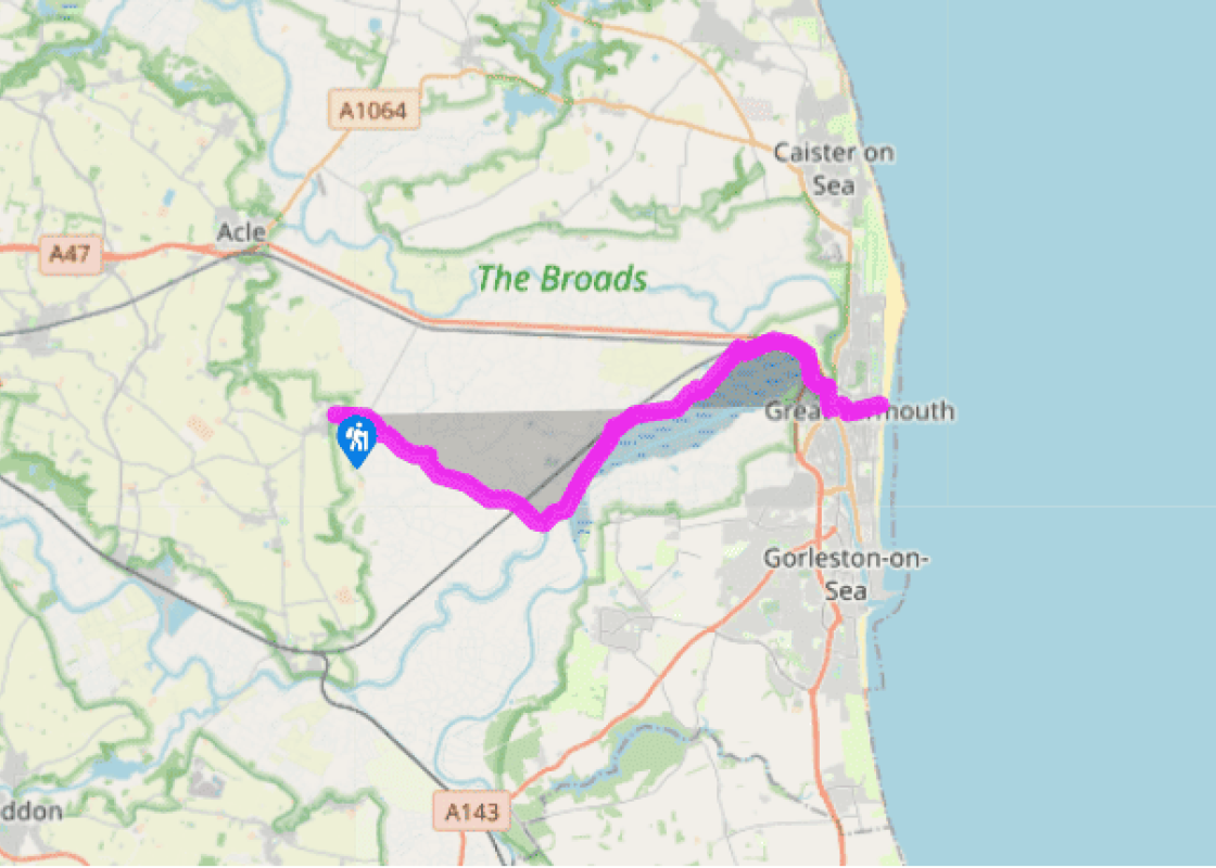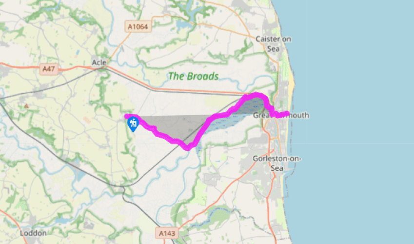
Weavers Way: Halvergate to Great Yarmouth
From Halvergate the route strikes east, following the minor road out of the village and taking the track at the sharp bend in the road. This is now marsh country, intersected with hundreds of ditches and sparsely populated. The rich pastures between the Rivers Yare and Waveney were once famous for their cattle. Daniel Defoe, the author of Robinson Crusoe, visited the district in the 1720s and reported that the preferred Scottish-bred cattle were doing well. ‘These Scots runts, so they call them,’ he wrote, ‘coming out of the cold and barren mountains of the Highlands in Scotland, feed so eagerly on the rich pasture in these marshes, that they thrive in an unusual manner, and grow monstrously fat.’
It has to be said that there is a desolate atmosphere about these parts, especially in the winter when the winds blow from east and north. The Weavers’ Way now becomes footpath again. Take the footpath which leads southeast. Just before the first windmill pump you come to, turn right over the bridge. The signage here is not always good but if you keep a sharp look out for the tall poles that mark the route every so often and maintain a course towards the distinctive Berney Arms Mill you shouldn’t go far wrong. Cross the railway line at Berney Arms Station and continue to Berney Arms Mill. The eponymous pub is nearby.
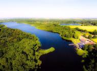
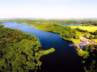
Turn left along the River Yare. A few hundred yards downstream, the Yare and the Waveney, which together form the border with Suffolk for much of its length, meet in Breydon Water, which is
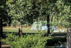
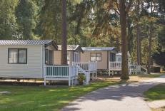
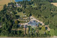
effectively their estuary, though a landlocked one. The path runs along the north side of Breydon Water. Great Yarmouth is visible in the distance, looking not so much like a popular English coastal resort as part of some sprawling industrial American town. To the southwest is Burgh Castle, nowadays a Mecca for campers and caravanners, but once the proud Roman fort of Gariannonum; an area of six acres surrounded by an impregnable wall 15–20ft (4.5-6m) high and 9ft (2.75m) thick, built in the 3rd century AD to keep out the Saxon raiders. Much of it still exists.
After the departure of the Romans there was a monastery here, founded in about AD635 by St Fursa, the Irish missionary, but this too fell foul of the changing circumstances of history and was destroyed after only 250 years, probably by Danish invaders towards the end of the 9th century. Indeed, this whole area was settled by the Danes.
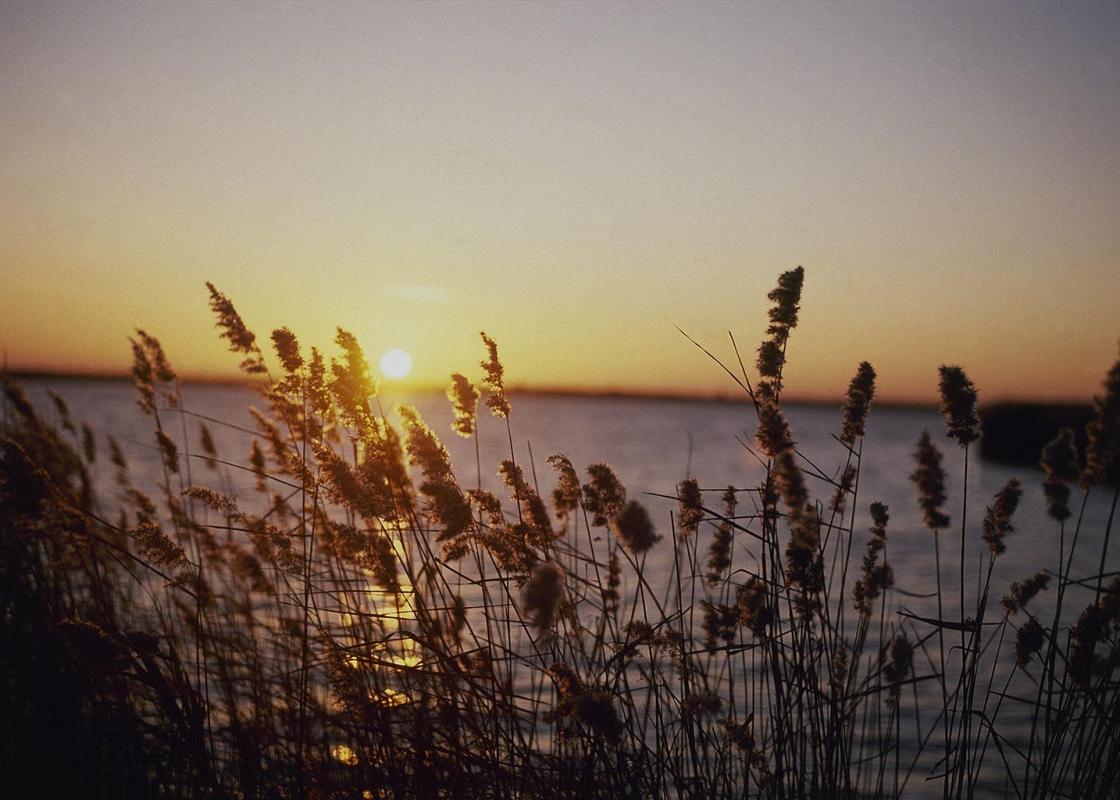
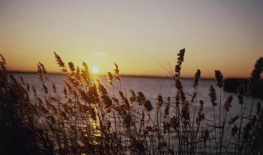
The Weavers’ Way continues along the lonely north shore of Breydon Water. Much of it is a nature reserve and a haven for birds.

Been on this walk?
Send us photos or a comment about this route. Or recommend a route of your own.

Walking in Safety
Read our tips to look after yourself and the environment when following this walk.

Get an AA guide
Explore our range of ‘50 Walks in’ guides - they’re the ideal companion for a ramble.
Been on this walk?
Send us photos or a comment about this route. Or recommend a route of your own.
Walking in Safety
Read our tips to look after yourself and the environment when following this walk.
Get an AA guide
Explore our range of ‘50 Walks in’ guides - they’re the ideal companion for a ramble.
Nearby places to stay
View all (8)