"Historic trackways and the remains of a Norman castle"
Walk directions
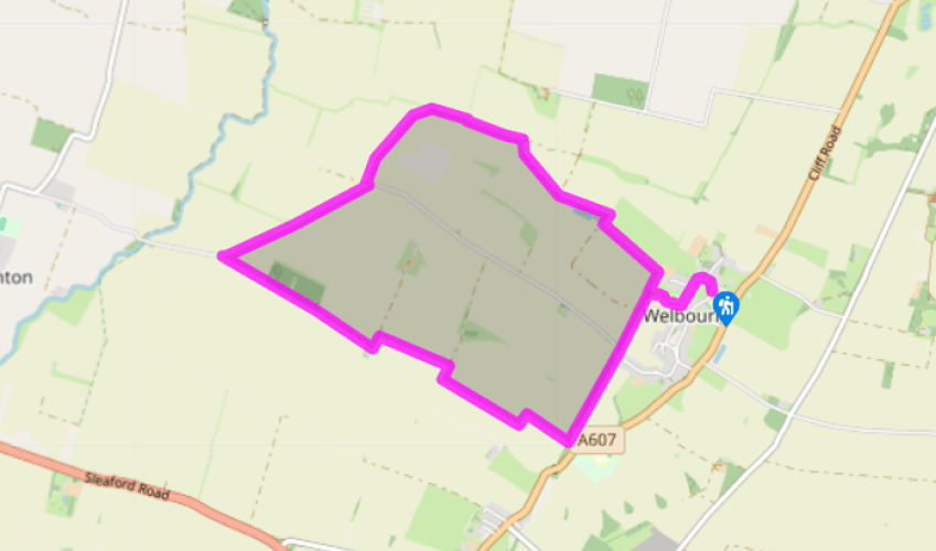
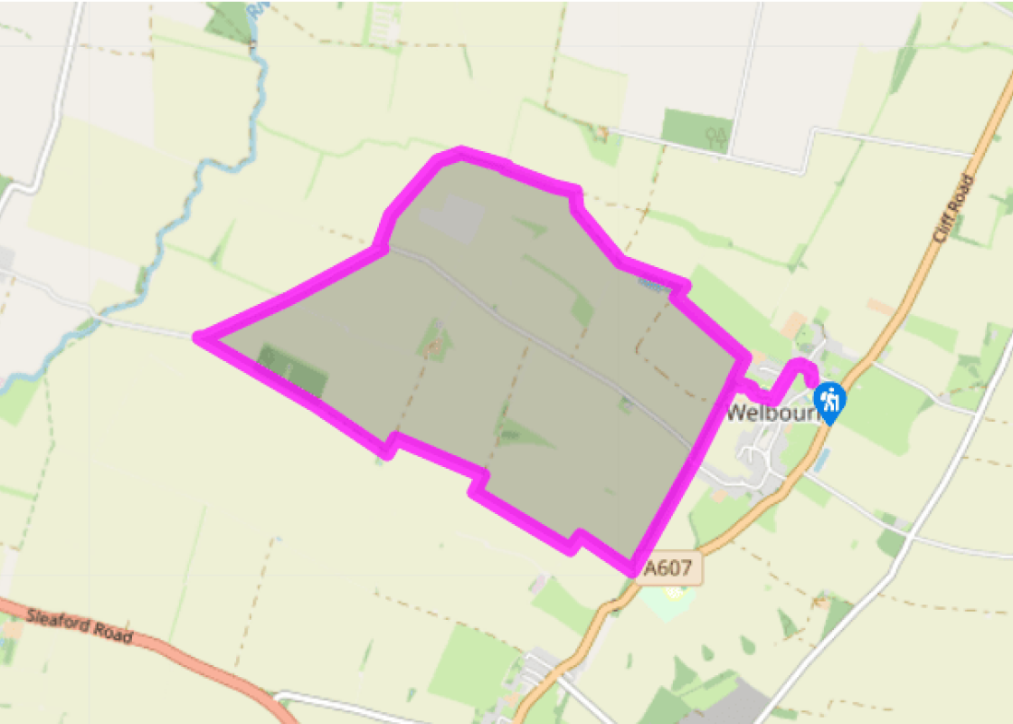
From the village hall turn right on to the road and walk around Castle Hill anti-clockwise, going left into High Street. On the far side of the school turn right and follow the alleyway past a house and then out alongside a field to go under the bridge of the disused railway.
Turn right and follow the field-edge as it then swings left, away from the village. At a junction go right to skirt a small reservoir, then resume your field-edge progress. Go through a gate in the hedge and continue straight ahead at a junction, alongside a ditch across open fields, switching banks via a footbridge.
When you reach a junction at the corner of a hedge, by a marker post, go diagonally left across the middle of the large field. Aim for the copse in the far corner, where you should cross a footbridge on to a tarmac lane. Turn right and follow this for 0.5 miles (800m) until the lane bends right.
Turn left on to a signposted public footpath along the edge of fields, with a hedge on your left. At Fox Covert Cottage, beside some conifers, join a wide track to go left, then right, following the waymarkers.
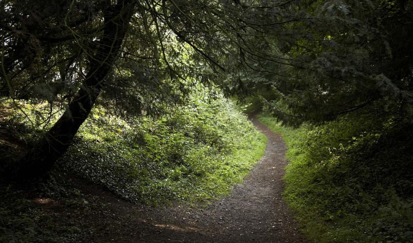
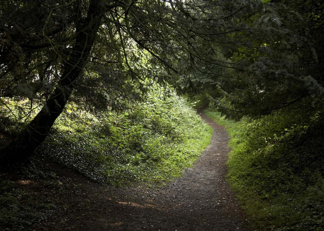
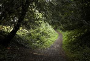
At the entrance to the next field leave the track and turn right to follow the grassy path along the side of the field. It soon swings round towards the escarpment. Go over a footbridge and on through the next field beside a ditch, kinking left and right around further fields to reach the former railway by some houses.
Turn left and walk along the top of the embankment back to Welbourn, at one point dropping down to cross a farm track and climbing back up. The path finally descends to a junction of paths (passed on the outward route) where you turn right under the bridge to return to the village centre. Just before the very end go right, for a footbridge across the moat, to walk across the grassy site of the former castle.
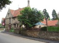
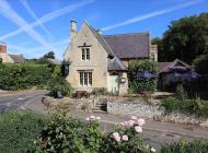
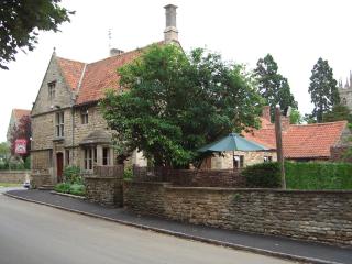
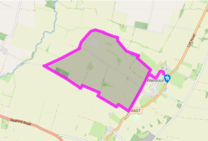
Welbourn is one of a string of attractive villages that sit on or just beneath the limestone escarpment known as Lincoln Cliff or Lincoln Edge. This prominent ridge that cuts across lowland Lincolnshire and the East Midlands has been an important route for traders, settlers and armies as far back... as prehistoric times. Sometimes known as the Jurassic Way, to the south of Lincoln it’s called Pottergate; then just to the east of Welbourn, beyond the top of the ridge, is the route of Ermine Street, one of the Romans’ key roadways that connected London to Lincoln and York. In more modern times the Grantham-Lincoln railway ran just to the west of Welbourn, but it closed in 1965 and now some of it forms the basis of this walking route. Outlines of history In the centre of Welbourn are the grassy remains of a castle built by the Normans in the 11th and 12th centuries, partly surrounded by a moat that still contains water and noisy ducks. First recorded in 1158, it wasn’t a conventional stone castle that the Normans were introducing elsewhere but what’s described as a ring work defence. As you can still make out today, on the outside was a deep moat, filled by a local spring, beyond which were high earth embankments topped by a wall. This enclosed a large, stone-built manor house, together with lots of smaller timber buildings used for various purposes on the estate. A survey of 1288 records, among other things, a brew house, stables, granary, ox house and gardens. The manorial estate was held by a powerful Norman baron called Elias de Rabayn, although this wasn’t his principal residence and he probably rented it out. In its heyday it must have been an impressive sight, but little more than two centuries later Welbourn Castle was effectively empty and abandoned, due to a combination of poor harvests and climate, plague and warfare, which depleted the population and doomed many landowners and estates. The grassy central area you see today was where the main buildings once stood. To the west of Castle Hill field are traces of a separate rectangular earthwork, possibly an outer bailey belonging to the same castle. Picturing the past In 1998 Welbourn Parish Council purchased Castle Hill field in order to not just preserve the Scheduled Ancient Monument but also encourage people to explore the site and learn about its history. There are various interpretation boards that include an artist’s impression of what Welbourn Castle might have once looked like.
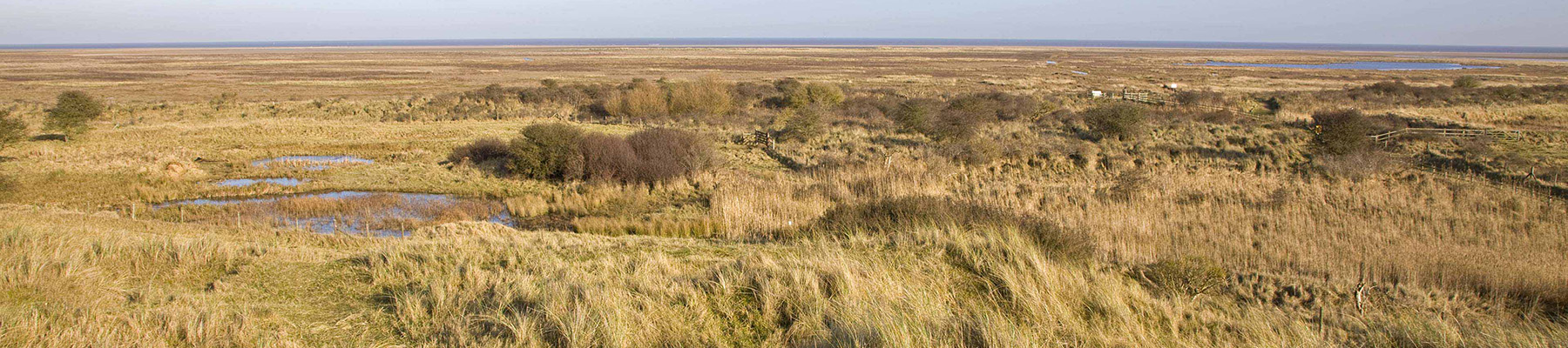
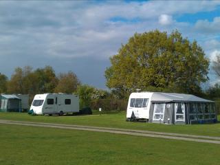
Much of the fenland around the Wash has been drained of its marshes and reclaimed as highly productive farmland. Further north, the coastline, with its sandy beaches, has been developed to accommodate the holiday industry, with caravans, campsites and the usual seaside paraphernalia.
"Historic trackways and the remains of a Norman castle"
Walk details
3hrs
Difficulty:
Easy
Gradient:
Gentle
Distance:
6 miles (9.7kms)
Ascent:
98ft (30m)
Walk directions
From the village hall turn right on to the road and walk around Castle Hill anti-clockwise, going left into High Street. On the far side of the school turn right and follow the alleyway past a house and then out alongside a field to go under the bridge of the disused railway.
1 of 6
Turn right and follow the field-edge as it then swings left, away from the village. At a junction go right to skirt a small reservoir, then resume your field-edge progress. Go through a gate in the hedge and continue straight ahead at a junction, alongside a ditch across open fields, switching banks via a footbridge.
2 of 6
When you reach a junction at the corner of a hedge, by a marker post, go diagonally left across the middle of the large field. Aim for the copse in the far corner, where you should cross a footbridge on to a tarmac lane. Turn right and follow this for 0.5 miles (800m) until the lane bends right.
3 of 6
Turn left on to a signposted public footpath along the edge of fields, with a hedge on your left. At Fox Covert Cottage, beside some conifers, join a wide track to go left, then right, following the waymarkers.
4 of 6
At the entrance to the next field leave the track and turn right to follow the grassy path along the side of the field. It soon swings round towards the escarpment. Go over a footbridge and on through the next field beside a ditch, kinking left and right around further fields to reach the former railway by some houses.
5 of 6
Turn left and walk along the top of the embankment back to Welbourn, at one point dropping down to cross a farm track and climbing back up. The path finally descends to a junction of paths (passed on the outward route) where you turn right under the bridge to return to the village centre. Just before the very end go right, for a footbridge across the moat, to walk across the grassy site of the former castle.
Welbourn is one of a string of attractive villages that sit on or just beneath the limestone escarpment known as Lincoln Cliff or Lincoln Edge. This prominent ridge that cuts across lowland Lincolnshire and the East Midlands has been an important route for traders, settlers and armies as far back... as prehistoric times. Sometimes known as the Jurassic Way, to the south of Lincoln it’s called Pottergate; then just to the east of Welbourn, beyond the top of the ridge, is the route of Ermine Street, one of the Romans’ key roadways that connected London to Lincoln and York. In more modern times the Grantham-Lincoln railway ran just to the west of Welbourn, but it closed in 1965 and now some of it forms the basis of this walking route. Outlines of history In the centre of Welbourn are the grassy remains of a castle built by the Normans in the 11th and 12th centuries, partly surrounded by a moat that still contains water and noisy ducks. First recorded in 1158, it wasn’t a conventional stone castle that the Normans were introducing elsewhere but what’s described as a ring work defence. As you can still make out today, on the outside was a deep moat, filled by a local spring, beyond which were high earth embankments topped by a wall. This enclosed a large, stone-built manor house, together with lots of smaller timber buildings used for various purposes on the estate. A survey of 1288 records, among other things, a brew house, stables, granary, ox house and gardens. The manorial estate was held by a powerful Norman baron called Elias de Rabayn, although this wasn’t his principal residence and he probably rented it out. In its heyday it must have been an impressive sight, but little more than two centuries later Welbourn Castle was effectively empty and abandoned, due to a combination of poor harvests and climate, plague and warfare, which depleted the population and doomed many landowners and estates. The grassy central area you see today was where the main buildings once stood. To the west of Castle Hill field are traces of a separate rectangular earthwork, possibly an outer bailey belonging to the same castle. Picturing the past In 1998 Welbourn Parish Council purchased Castle Hill field in order to not just preserve the Scheduled Ancient Monument but also encourage people to explore the site and learn about its history. There are various interpretation boards that include an artist’s impression of what Welbourn Castle might have once looked like.
Much of the fenland around the Wash has been drained of its marshes and reclaimed as highly productive farmland. Further north, the coastline, with its sandy beaches, has been developed to accommodate the holiday industry, with caravans, campsites and the usual seaside paraphernalia.