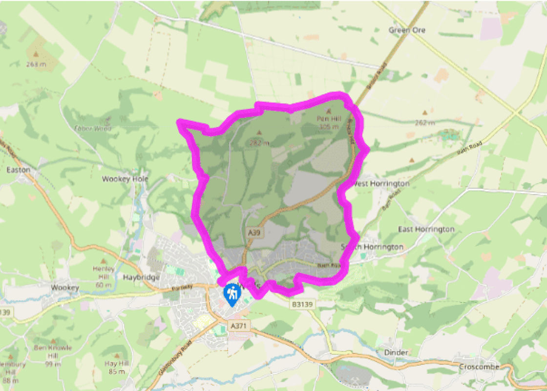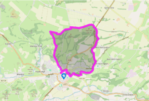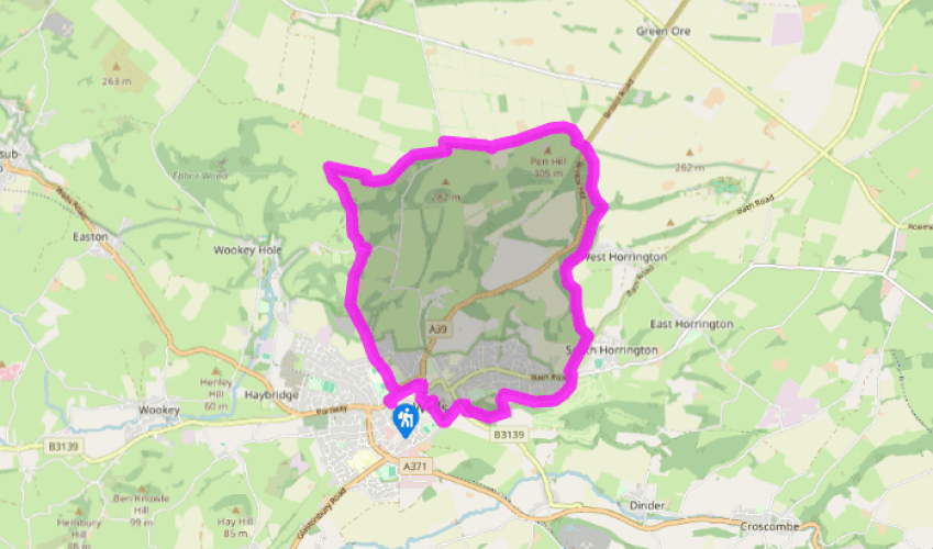
Wells and Pen Hill
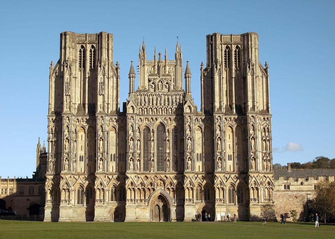
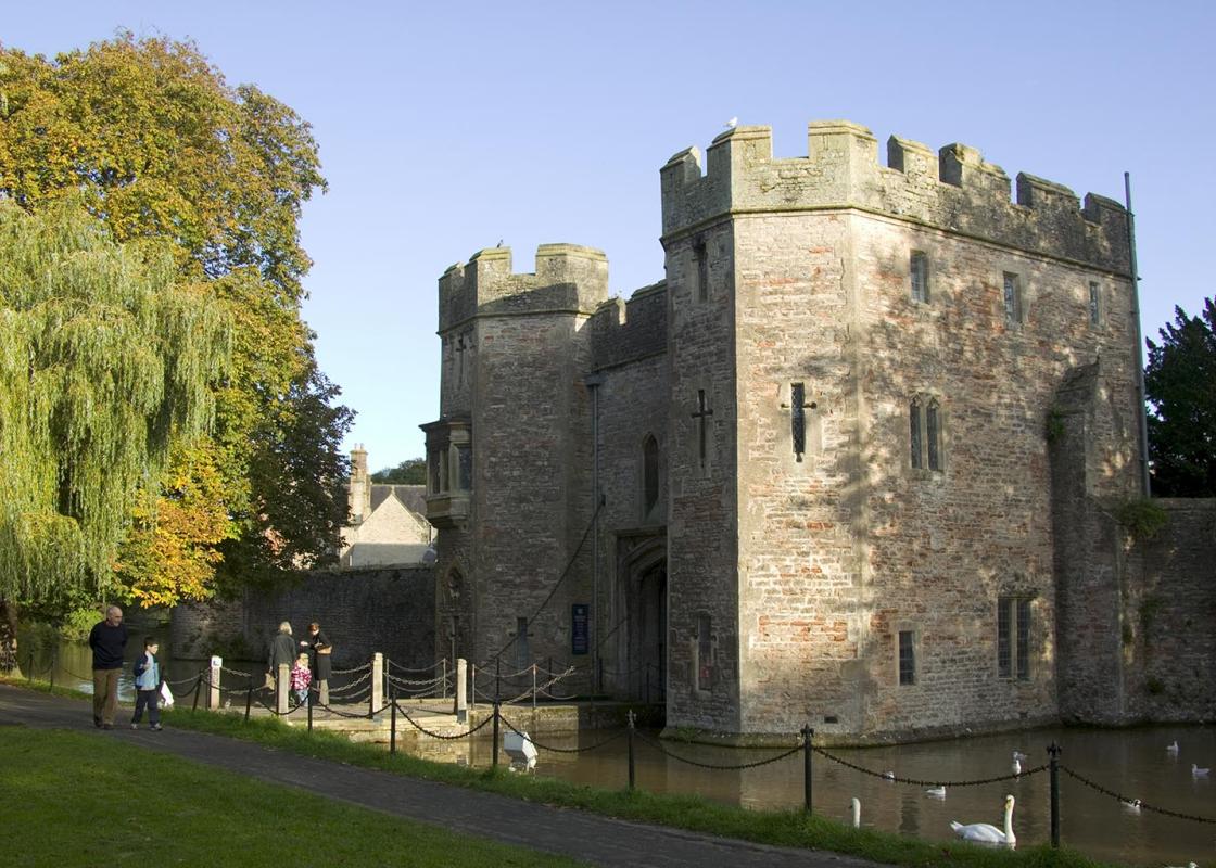
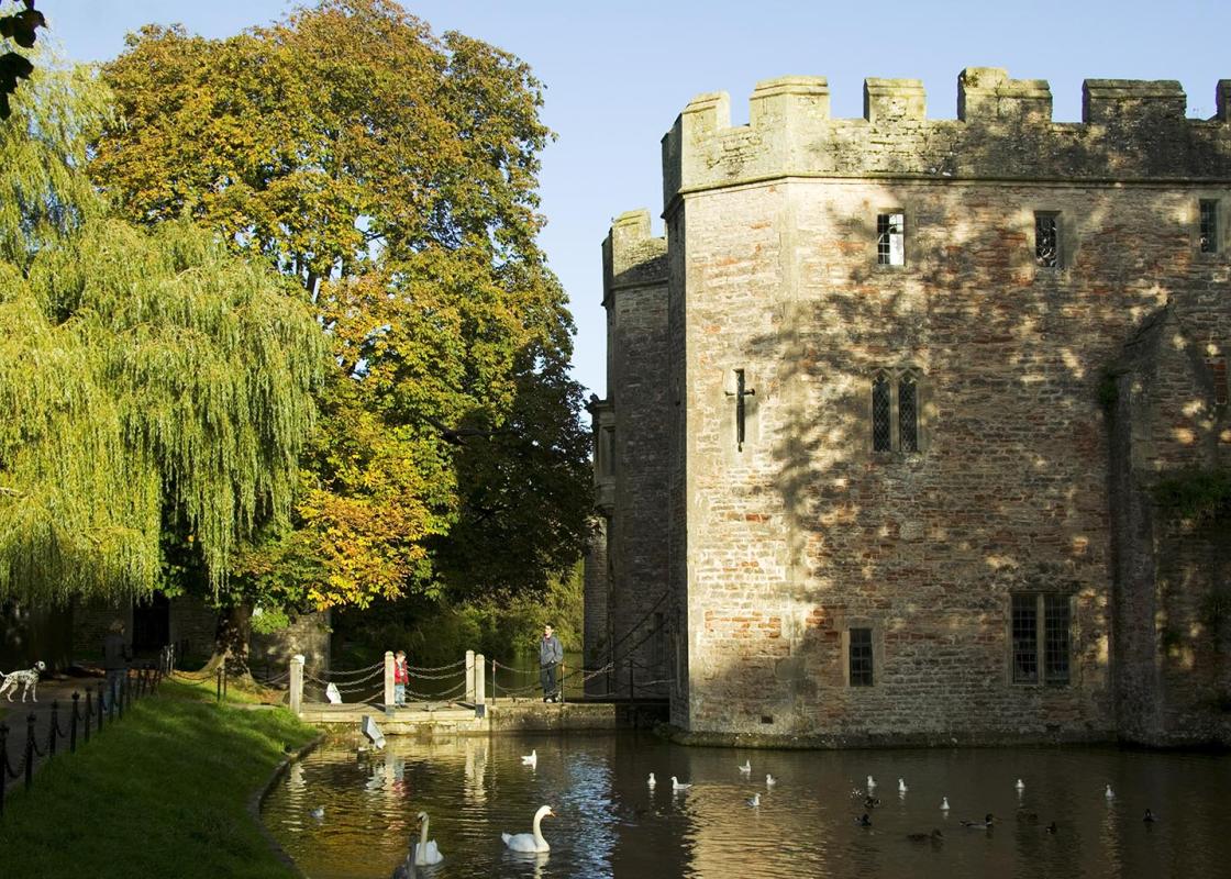
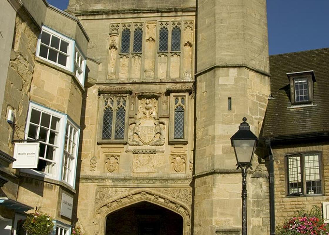
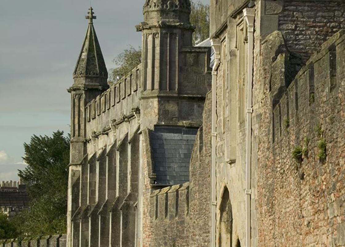
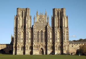
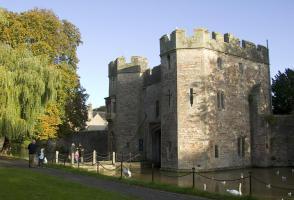
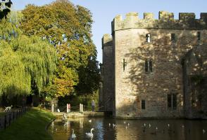
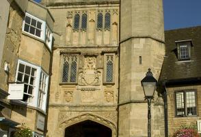
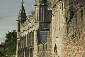
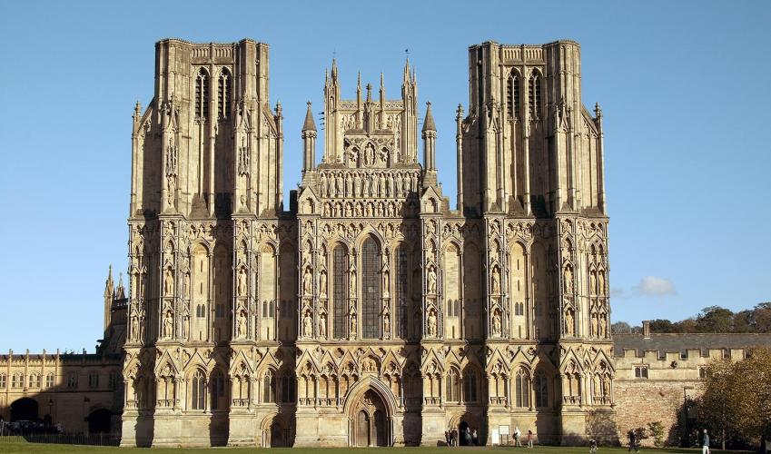
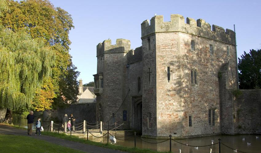
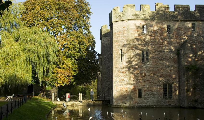
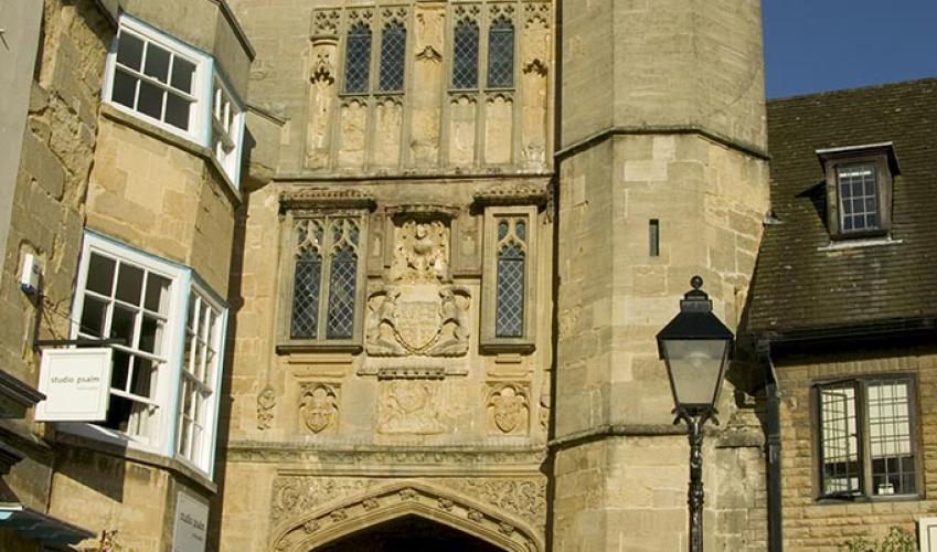
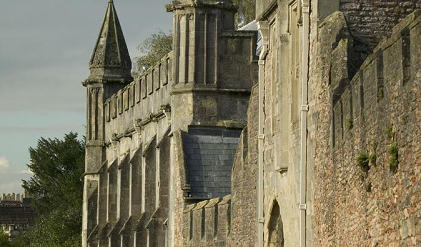
Leave the car park by the traffic lights and follow a footpath right, keeping ahead into Lovers Walk. At a left bend, go right and left onto New Street. Turn right, pass a mini-roundabout then branch left into Sadler Street. Leave beneath an arch opposite the White Hart into Cathedral Green. Swing right in front of the cathedral to emerge in Market Place. Go left and then left again through another archway to the Bishop's Palace. Bear right and follow two sides of the moat to the B3139.
Cross to a track diagonally opposite, leaving right after 50yds (46m) up a steep wooded path onto Tor Hill. Emerging onto a grassy summit, walk ahead into more trees. Bear left at a prominent fork into a long field. Walk beside the left edge to find a stile towards its far end. Drop steeply through the woods and beside a couple of meadows to a cycle track. Follow it right, eventually emerging onto the B3139.

Been on this walk?
Send us photos or a comment about this route. Or recommend a route of your own.

Walking in Safety
Read our tips to look after yourself and the environment when following this walk.

Get an AA guide
Explore our range of ‘50 Walks in’ guides - they’re the ideal companion for a ramble.
Been on this walk?
Send us photos or a comment about this route. Or recommend a route of your own.
Walking in Safety
Read our tips to look after yourself and the environment when following this walk.
Get an AA guide
Explore our range of ‘50 Walks in’ guides - they’re the ideal companion for a ramble.

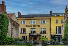
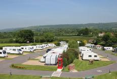
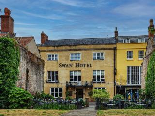
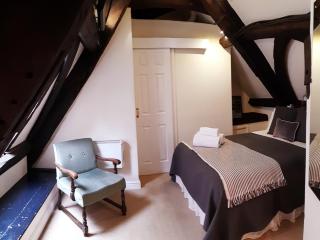
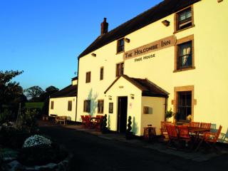
Nearby places to stay
View all (8)