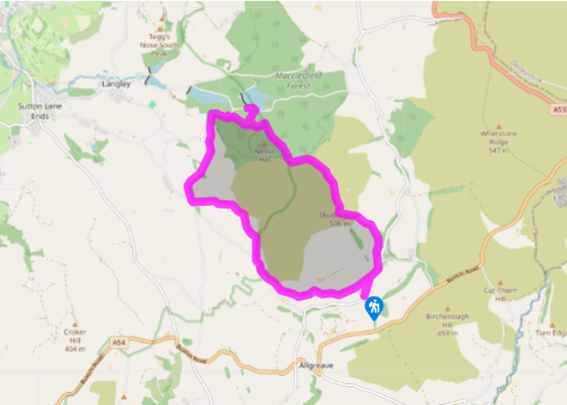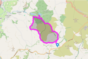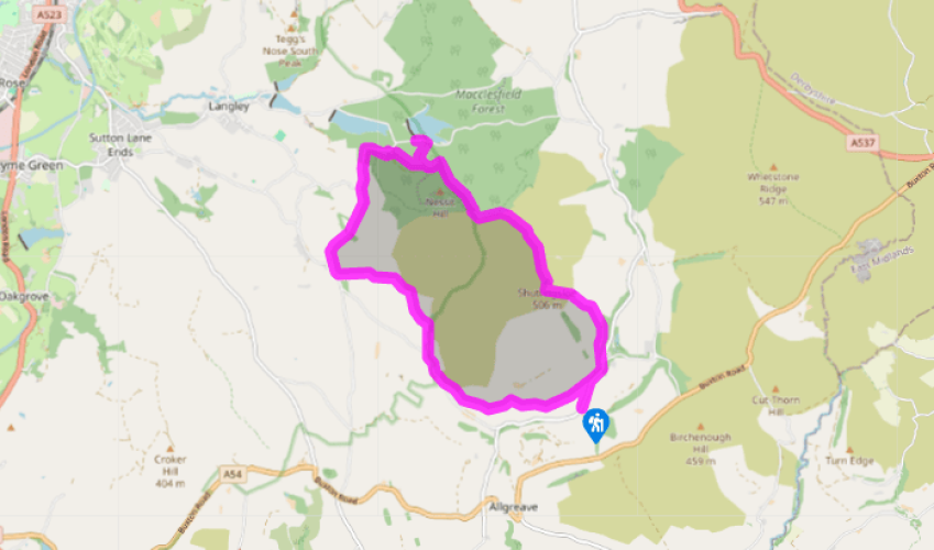
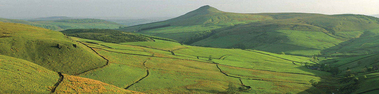
Shutlingsloe and the Macclesfield Forest
Recommended by

"The shapely peak of Shutlingsloe and the diverse woodland of Macclesfield Forest."
Walk directions
Walk up the road to The Crag Inn. Go through a gate beside the car park entrance and double back left on a grass pathway above the lane. Guiding waymarkers indicate the route across the hillside, gently gaining height over successive fields. Detour briefly to the right to cross a stream below Higher Nabbs Farm, then return to your original course, rising gently to a wall stile which leads out on to a metalled track. Follow this downhill to a junction.
Turn right and walk along the lane past Heron Crag to a bridge. Go through a kissing gate on the right and follow the path near the stream. After a gate, cross a bridge. The path now twists across a stream then follows its valley (Oaken Clough) uphill, passing through another gate just below some power lines. Towards the top, turn left and cross the stream on a permissive path just below a house, following waymarkers past a pond to a driveway. Turn left through a gate and climb beside a wall.
View all directions
Additional information
Terrain
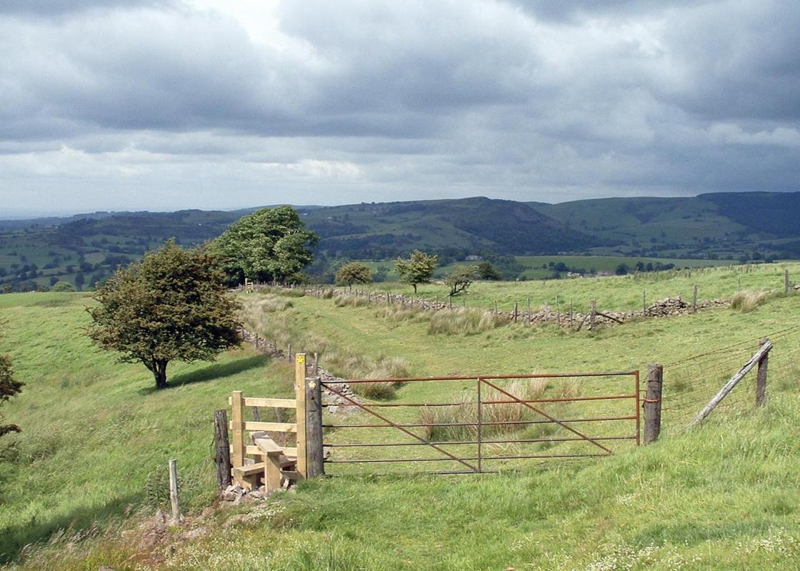
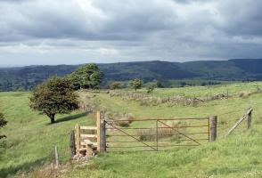
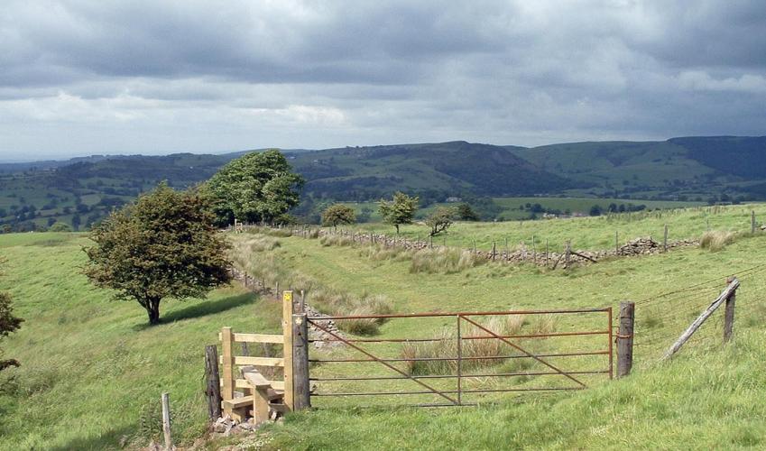
- Sloping field paths, lanes and easy forest tracks, steep hillside, many stiles
Landscape
- Rough pasture, angular hills, plus large tracts of woodland
Dog friendliness
- Dogs should be kept under close control and on lead across the moor. Cows with calves may be present below Higher Nabbs farm; if present, follow directions at field entrance
Parking
- Lay-by at Brookside, on lane 0.25 miles (400m) south of The Crag Inn
Toilets en route
- At Forest Ranger Centre
About the walk
The Royal Forest of Macclesfield was once the preserve of the nobility, an extensive hunting ground for the royal court searching for deer and boar. It covered a large area, stretching across from the Cheshire Plain to the valleys of the Goyt and Dane, but most of the so-called ‘forest’ was...
Read more

Been on this walk?
Send us photos or a comment about this route. Or recommend a route of your own.

Walking in Safety
Read our tips to look after yourself and the environment when following this walk.

Get an AA guide
Explore our range of ‘50 Walks in’ guides - they’re the ideal companion for a ramble.
Been on this walk?
Send us photos or a comment about this route. Or recommend a route of your own.
Walking in Safety
Read our tips to look after yourself and the environment when following this walk.
Get an AA guide
Explore our range of ‘50 Walks in’ guides - they’re the ideal companion for a ramble.
About the area
Nestled between the Welsh hills and Derbyshire Peaks, the Cheshire plains make an ideal location to take things slow and mess around in boats. Cheshire has more than 200 miles (302 km) of man-made waterways, more than any other county in England.
Nearby places to stay
View all (8)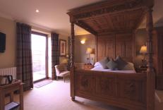


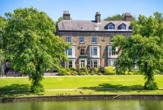


Nearby places to stay
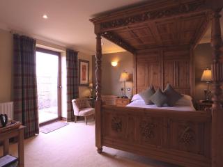
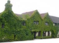
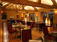
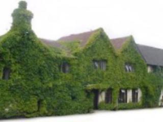
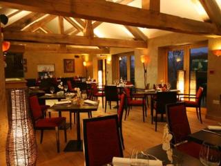
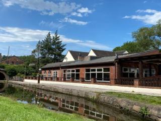
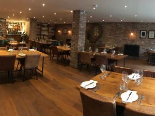
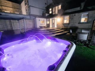
Three Horseshoes Country Inn & Spa
This traditional family-owned inn provides individually designed bedrooms, including several modern 'Garden rooms' with hot tubs, some with 4-poster beds. The smart pub-brasserie, with ...
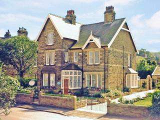
Roseleigh Guest House
This elegant property has a prime location overlooking Pavilion Gardens, and the quality decor highlights its many original features. The thoughtfully designed bedrooms are adorned with...
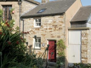
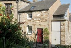
5 Church Street
Deceptively spacious and light, 5 Church Street is a contemporary re-making of a former cottage on one of Buxton’s oldest streets. It combines traditional character with all the facilit...
5 Church Street
Deceptively spacious and light, 5 Church Street is a contemporary re-making of a former cottage on one of Buxton’s oldest streets. It combines traditional character with all the facilit...
Foxlow Grange by Muse Escapes
In the spa town of Buxton, Foxlow Grange contains beautifully decorated apartments for a luxurious break. Local attractions include St Ann’s Well for a taste of Buxton water, as well as...
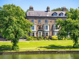
Braemar
Braemar is a long-established, central yet quietly situated Victorian property offering homely and comfortable accommodation. It’s within easy walking distance of the historic towns man...
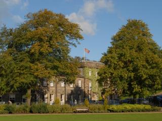
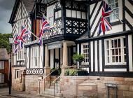
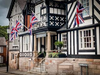
Old Hall Hotel
The Old Hall Hotel in Buxton is reputed to be the oldest in England, with a rich history that dates back thousands of years and features some notable guests, including Mary Queen of Sco...
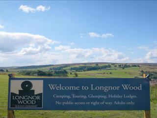
Longnor Wood Holiday Park
Longnor Wood is a spacious, adults-only park in a secluded, peaceful setting in the heart of the Peak District National Park. A hidden gem, the park is surrounded by beautiful rolling c...
Places to eat nearby View all