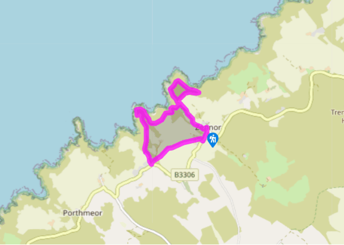
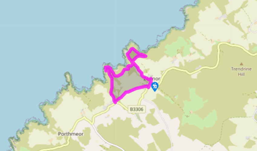
The Zennor coast
Turn left out of the car park, pass The Tinners’ Arms, then turn left again and bear round left down a lane behind the pub. Follow the lane for just over 0.5 miles (800m) to where it ends by an entrance to a house. Keep straight ahead along a narrow path for about 60yds (55m). Cross a stile onto a junction with the coast path beside a National Trust sign for Zennor Head.
Keep straight ahead along the coast path towards Zennor Head. Reach the summit of the Head, where there is a National Trust memorial plaque set into a large rock. Continue round to the right along the coast path, pass a cluster of large rocks, and then descend steeply.
Follow the path (it is close to the cliff edge in places, so take care) and climb steeply to a junction beside a small granite footpath sign. Turn right and follow a narrow path high above the sea and across the neck of Zennor Head. Turn left at a T-junction and retrace your earlier steps to where you joined the coast path at waypoint 2, by the National Trust sign for Zennor Head. Turn right and descend quite steeply and, just by a bench, descend steep steps (handrail). Descend a final flight of steps to a wooden bridge across a stream that gushes over boulders to Pendour Cove below.
Keeping left immediately at a fork, follow the rocky path steeply uphill, and pass a memorial seat. Continue uphill, ignoring a minor path going off right. The path levels off above Veor Cove.
Cross a stile and pass through a long stand of blackthorn bushes. Soon start to descend the northeast side of Carnelloe Headland. Follow the path round the base of the headland and turn steeply uphill. Turn left at a T-junction and signpost below a house, and climb steadily uphill. Follow the footpath behind the house to reach an open grassy area.
Join a wide grassy track and follow it inland, passing a mine wheel pit down the slope on the right. Reach a junction by a stream. Go through a kissing gate and keep left along a track.
Just before the main road, at Poniou, go left along a track in front of houses. Cross a bridge over a stream, and in about 30yds (27m), where the track veers sharp left, bear off it and cross a grid stile to the left of a field gate. Follow the left edge of a field and continue through several fields and over stiles.
Cross the final field and go over a stile and along a path between a hedge and a wire fence. Cross a final stile and follow a grassy track towards farm buildings. Turn right along a concrete track through Trewey Farm. At the main road turn left, with care, and in a few paces, at a junction, keep left and steeply downhill to return to the car park.
Been on this walk?
Send us photos or a comment about this route. Or recommend a route of your own.
Walking in Safety
Read our tips to look after yourself and the environment when following this walk.
Get an AA guide
Explore our range of ‘50 Walks in’ guides - they’re the ideal companion for a ramble.
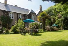
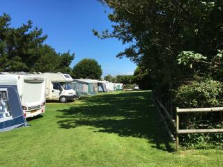
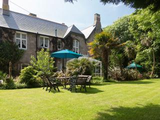
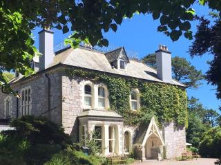
Nearby places to stay
View all (8)
- Launderette
- Ice pack facility
- Shop onsite
- Wifi available
- Launderette
- Ice pack facility
- Cafe/Restaurant
- BBQ
- Rooms 6
- Free TV
- Wifi
- Lounge with TV


