A walk through Grisedale
Recommended by

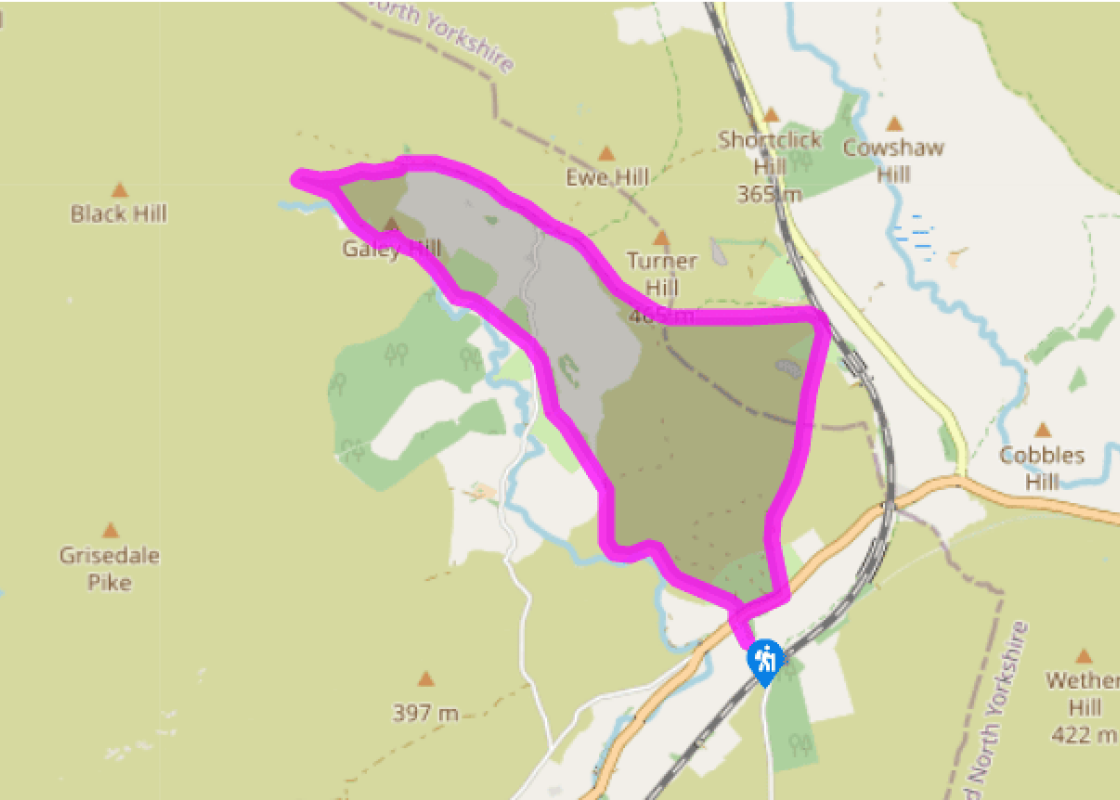
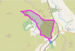
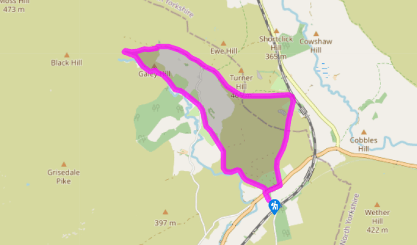
Walk directions
Walk down to the main road. Cross at the junction and take a stile signed 'Grisedale and Flust'. Follow a faint path just above the wall on the left, to find another stile in a wall. Follow the sign on a faint path across the moor to another signpost, then descend to another stile right of Blake Mire farmhouse beyond the bend of the wall.
Go half right, aiming slightly left of a barn to a gap in a crumbling wall. Continue straight ahead and descend to pass ruined buildings, then turn right, over a stile. Head towards a barn and another stile behind it. Continue to a signpost near a white-painted farmhouse.
View all directions
Additional information
Terrain
- Moorland paths and tracks, may be boggy, 16 stiles
Landscape
- Rough moors and hidden valleys, railway within earshot
Dog friendliness
- Sheep on moorland – keep dogs on leads
Parking
- Roadside parking on road to Garsdale Station
Toilets en route
- None on route
About the walk
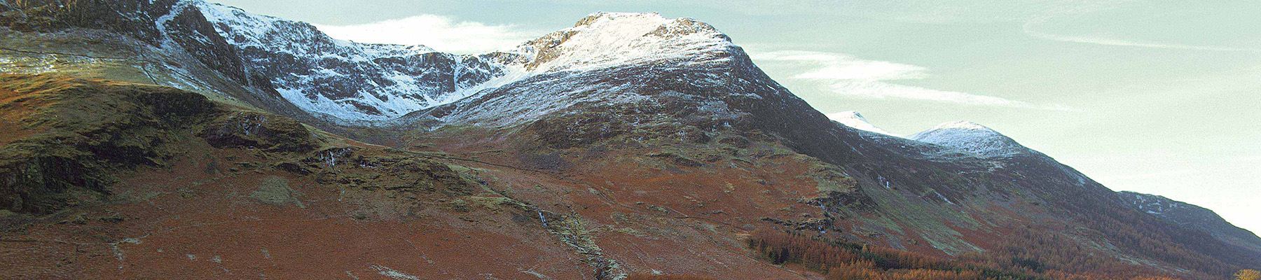
Grisedale is often tagged ‘The Dale that Died’. This unfortunate label was the title of a television documentary made in the mid-1970s that followed the fortunes, and misfortunes, of families farming in this remote valley, which pushes north from Garsdale towards the massive heights of Wild...
Read more

Been on this walk?
Send us photos or a comment about this route. Or recommend a route of your own.

Walking in Safety
Read our tips to look after yourself and the environment when following this walk.

Get an AA guide
Explore our range of ‘50 Walks in’ guides - they’re the ideal companion for a ramble.
Been on this walk?
Send us photos or a comment about this route. Or recommend a route of your own.
Walking in Safety
Read our tips to look after yourself and the environment when following this walk.
Get an AA guide
Explore our range of ‘50 Walks in’ guides - they’re the ideal companion for a ramble.
About the area
Cumbria's rugged yet beautiful landscape is best known for the Lake District National Park that sits within its boundaries. It’s famous for Lake Windermere, England’s largest lake, and Derwent Water, ‘Queen of the English Lakes', but other lesser-known areas in the south, such as the Lune Valley and the coastal towns, are secret gems of wide cobbled streets and rolling hills.
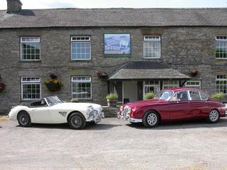
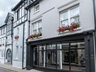
Nearby places to stay
View all (8)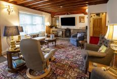


Nearby places to stay
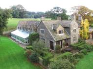
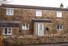
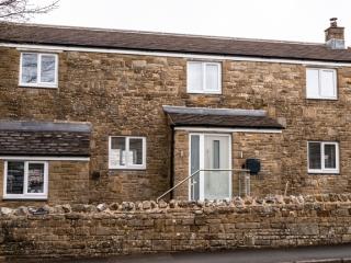
Steppe Haugh
Awaiting description....
Steppe Haugh
Steppe Haugh is a luxurious, four‑bedroom Georgian farmhouse on the edge of the historic market town of Hawes in the beautiful Yorkshire Dales, offering en suite accommodation for up to...
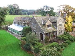
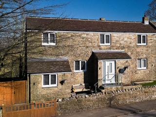
Watersdale End
Watersdale End is a charming country cottage located in the peaceful Yorkshire village of Gayle, right by the river and near the famous Wensleydale Creamery. The house was renovated in ...
Watersdale End
Awaiting description....

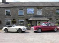
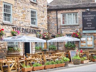
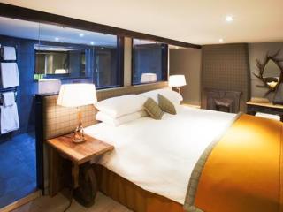
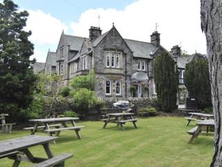
Stone House Hotel
The Stone House Hotel is a beautiful Edwardian country house deep in the heart of Wensleydale. With well-appointed bedrooms, award-winning menus and a dream location, this is the perfec...
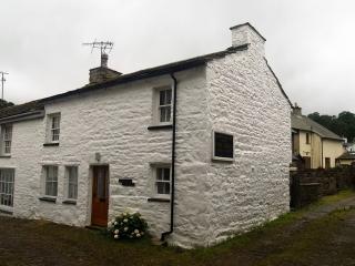
Fountain Cottage
Awaiting description...
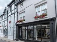
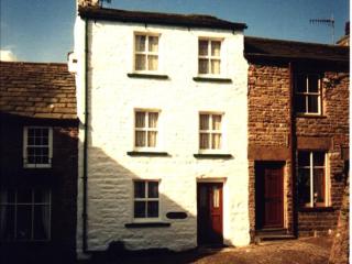
Middleton's Cottage and Fountain Cottage
Both cottages date from the 17th or 18th century and have been updated to provide cosy accommodation for upto 4 people. They are located on the cobbled Main Street in Dent close to the...
Middleton's Cottage
Awaiting description...
Places to eat nearby View all